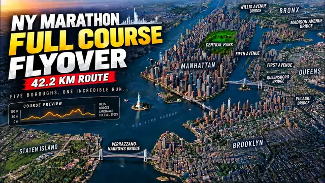
The five bridges are the structure of this race, and published guides put them in the
wrong places often enough that the positions are worth computing rather than repeating.
Measured on the course line, the Verrazzano occupies the first 2.9 km. The Pulaski runs km 20.0 to
km 20.9, which puts the halfway mark at 21.1 km just past its far end rather than on the
deck. The Queensboro is km 24.1 to km 25.6. The Willis Avenue Bridge is km 31.1 to 31.9,
and the Madison Avenue Bridge is only 250 m long, km 33.5 to km 33.8.
That last pair is the part worth noticing. The Bronx is not a borough on this course so
much as a two-and-a-half kilometre loop between two bridges, entered at km 31.1 and left
at km 33.8, containing seven of the course’s forty corners. It is the shortest stint of
the day and the most geometrically expensive.
One thing to know if you compare these numbers with the dashed stretches on the elevation
chart, because they do not match and both are right. The figures above are the closure
segments: the named streets the City shuts, which is what the notice this course was
built from actually lists. The chart marks the structure: the runs where OpenStreetMap
tags the roadway as a bridge, which is what decides whether a bare-earth elevation model
can see the road the runner is on. Those two edges rarely coincide, and they miss in both
directions. The Pulaski’s named street begins about 190 m of level approach before the
span does. The Madison Avenue Bridge’s structure carries on 90 m past the end of its
segment. And the Queensboro’s structure starts 674 m earlier than its segment, at km 23.4
rather than 24.1, because the elevated approach over Queens Plaza is already the bridge as
far as the roadway is concerned, which is also, for what it is worth, where the ground
stops being underneath you.