Entry open for the 2026 race As read 18 October 2026.
Past years and every way in
Entry details on the organiser’s site →
Marine Corps Marathon Organization, a third party. We take no entries and have no part in the race.
 Marathon Trip
Your trips on every device: sign in, or make a free account when you save one.
Signed in on this browser.
Sign in My marathons Account and dataLocked out? An export link you keep still opens your list in any browser.
No account: email it to me
One email with this trip and a link to open it again. We do not keep the address and send nothing else.
Only a race from our list can be emailed. An account keeps this one.
What we keep, and what we do notCheck your inbox at to confirm it.
Browse the racesEach edition the day it comes out, and nothing else. Off again with one click. How it is kept.
Imagery: Google Earth and its imagery providers
A climb of 21 m to km 2, downhill to km 6, then flat home.
© OpenStreetMap contributors
km 0.1mile 0.1
Photo: Carol M. Highsmith, Public domain
km 7mile 4.3
The course crosses the Potomac from Rosslyn into Georgetown on the Francis Scott Key Bridge; the organiser's route has runners 'cross into the District to tour Georgetown'. On the bridge from km 6.77 to 7.26.
Photo: G. Edward Johnson, CC BY 4.0
km 7.8mile 4.8
Photo: Warren LeMay from Cincinnati, OH, United States, CC0
km 10.5mile 6.5
Photo: Carol M. Highsmith, Public domain
km 16.8mile 10.4
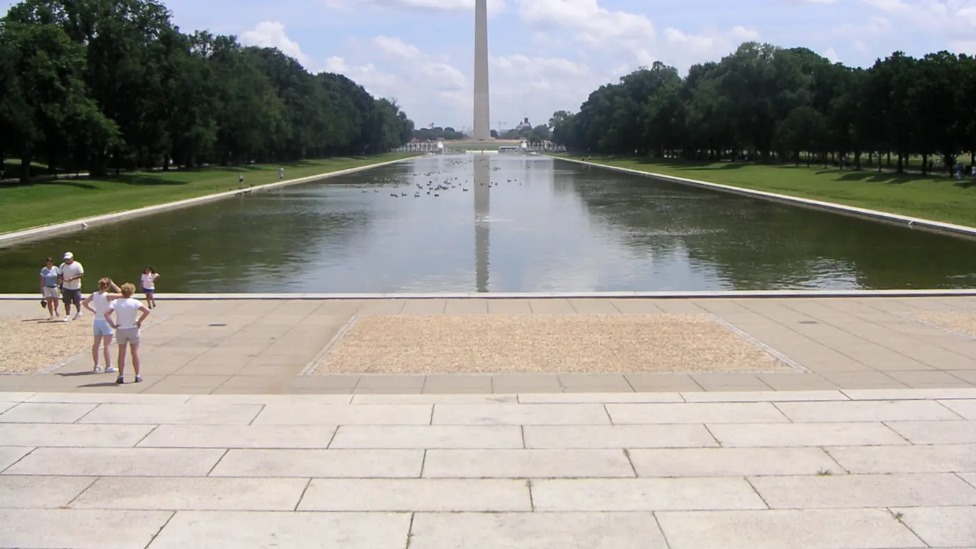
The organiser names the Lincoln Memorial as a place to watch, where spectators 'see runners at mile 10 and later, mile 16'. 205 m left of the runner at km 16.76.
Photo: APK, CC BY 4.0
km 16.9mile 10.5
Photo 7 September 2026, after regilding.
Photo: G. Edward Johnson, CC BY 4.0
km 21.4mile 13.3
The southern tip of East Potomac Park, between the Potomac and the Washington Channel; the organiser's wear blue Mile runs 'along Haines Point at mile 12'. The course rounds the point at km 21.4, its lowest ground, about 1 m above sea level on our profile.
Photo: Duane Lempke, CC0
km 24.3mile 15.1
Dedicated on 13 April 1943, Jefferson's 200th birthday; the bronze statue inside, 5.8 m tall, was only added in 1947. The memorial stands 237 m left of the runner at km 24.32 and 222 m right at km 31.86, on 14th Street before the bridge.
Photo: Michael Kranewitter, Public domain
km 29mile 18
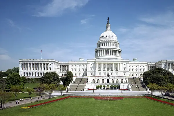
The course turns at the Capitol end of the National Mall at mile 18 on the organiser's 2026 map. 298 m left of the runner at km 29.03.
Photo: Architect of the Capitol, Public domain
km 30.3mile 18.8
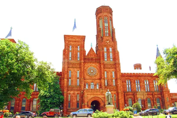
The Smithsonian Institution Building on Jefferson Drive, along the south side of the National Mall. 31 m left of the runner at km 30.28.
Photo: ThatOtherGuy1985, CC0
km 32.5mile 20.2
The bridge back to Virginia: every runner must reach 14th and D Streets before it by 1:15 p.m. at mile 20, the organiser's Beat the Bridge Gauntlet, and a self-serve water station stands on the bridge. On the bridge from about km 32.1 to 33.0.
Photo: Duane Lempke, CC0
km 39.8mile 24.7
The Runners Village is in the North Pentagon Parking Lot, and the course 'returns to Arlington, passing the Pentagon' in the organiser's words. 279 m left of the building's centre at km 39.80.
Photo: Air Force Staff Sgt. John Wright, DOD, Public domain
km 42.2mile 26.2
The organiser describes the finish as uphill, at the Marine Corps War Memorial, the finish line on Marshall Drive below it. The memorial stands 326 m from the line's end.
Height drawn many times taller than life. Heights: USGS 3DEP 1 m digital elevation model.
Dashed: bridge

Your 5 gels, at the orange marksFor a 4:00 finish, one every 40 minutes
Get them on AmazonAmazon partner link
The organiser’s own summary is the shape of the day: runners “begin between the Pentagon and Arlington National Cemetery”, go “through Rosslyn”, cross into the District “to tour Georgetown and the National Mall before ‘beating the bridge’”, then return to Arlington, “passing the Pentagon, winding through Crystal City, and finishing uphill” at the Marine Corps War Memorial. The course is USATF-certified. In running terms it is a hill, a long flat middle raced against the clock, and a short climb at the end. The kilometres and heights below are measured on the 2026 course; no change for 2027 had been published.
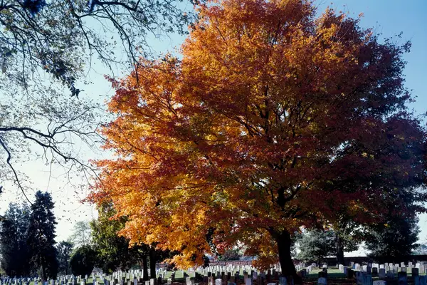
The gun goes on Route 110, with Arlington National Cemetery on the left in the first few hundred metres. The road runs north into Rosslyn, turns onto Wilson Boulevard at km 1.2 and North Lynn Street, and at about km 2 joins Langston Boulevard. This is the climb of the race: the road rises 59 m in the first 3.7 km, to 66 m above sea level at km 3.72, the highest point of the day. More than half of the course’s 112.4 m of climbing is done before km 4.
Then it all comes back. Spout Run Parkway drops from about km 4.3 to the George Washington Memorial Parkway by the Potomac at km 5.8, and by km 6 the course is down to about 6 m. A runner who holds goal pace up Langston Boulevard spends effort the flat middle will ask for later. Run the first 4 km on effort, and let the descent give the time back.
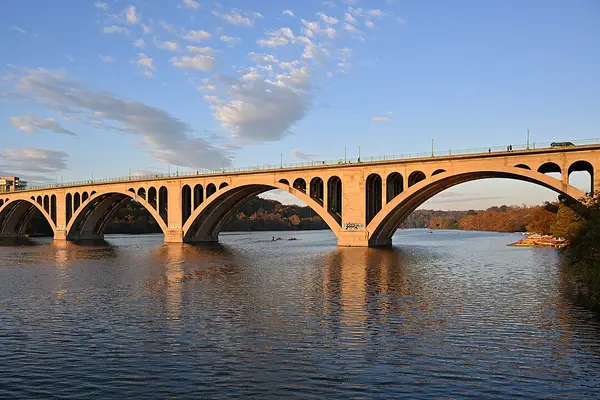
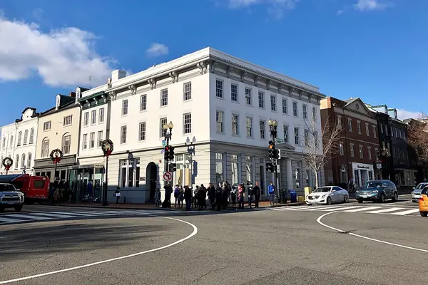
The course crosses the Potomac into the District on Key Bridge, from km 6.77 to 7.26, and runs M Street through Georgetown to Wisconsin Avenue at about km 7.8. The organiser’s mile 5 entertainment is the Georgetown Phantoms. K Street, 27th Street and Virginia Avenue lead down to Rock Creek Parkway at km 9.1. From km 6 to the finish the course never rises above 20 m.
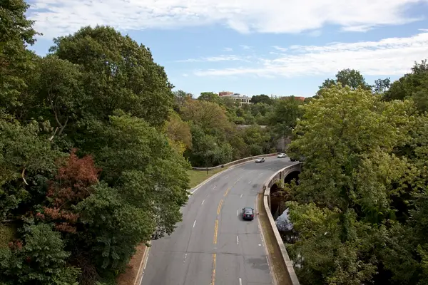
Rock Creek and Potomac Parkway is an out and back under trees, with the turn at km 12.15. Runners pass under the Dumbarton Bridge twice, at km 10.47 on the way out and km 13.79 on the way back, and meet the faster runners coming the other way. It is level, a stretch to settle into a rhythm before the monuments.
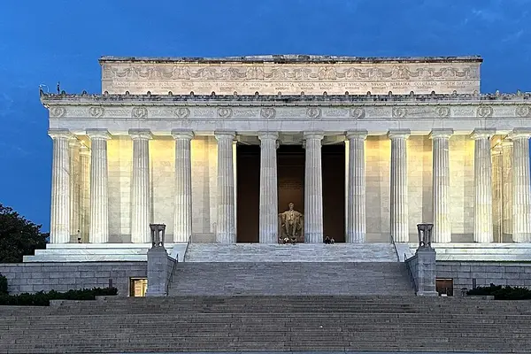
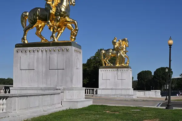
Ohio Drive brings the course past the Lincoln Memorial at about km 16.8, beside the gilded Arts of War sculptures at the end of Arlington Memorial Bridge. The organiser sends spectators here because they see runners twice, at mile 10 and again at mile 16. A short turn on Independence Avenue and West Basin Drive leads back to Ohio Drive and south into East Potomac Park.
Halfway falls on Ohio Drive, and the course rounds Hains Point at km 21.4, its lowest ground at about 1 m above sea level. Along this stretch the organiser places the Wear Blue Mile, “along Haines Point at mile 12”: posters of fallen service members, each with a photograph and a name, and beside each one an American flag held by a volunteer, often fellow military or the families of the fallen. Ohio Drive then runs back north past the Jefferson Memorial at about km 24.3 to 15th Street.
An out and back on Independence Avenue, from about km 25.0 to 26.8, holds the first of the three gauntlets. In 2026 runners not through the DC Gauntlet by 12:33pm were diverted from the certified course at Independence Avenue to 14th Street.
Then comes the Mall. 15th Street leads to Madison Drive on the north side at about km 27, and the course runs east to the Capitol end, turning there at mile 18 (about km 29). Jefferson Drive brings it back west along the south side, past the Smithsonian Castle at km 30.3, to 14th Street at km 30.8. The Mall is flat, between about 3 m and 7 m above sea level.
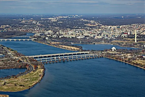
The best-known line of the race is a clock, not a hill. Every runner must reach the intersection of 14th and D Streets, before the 14th Street Bridge, by 1:15pm at mile 20 (km 32.2): the Beat the Bridge Gauntlet, 5 hours 55 minutes after the 7:20am start in 2026. The course is on the bridge from about km 32.1 to 33.0, where a self-serve water station stands, and follows the HOV lanes and the I-395 express-lane ramp back into Virginia to about km 34.2.
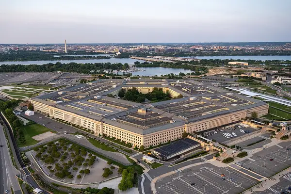
Back in Arlington, the course loops by the Pentagon on South Eads Street and the access roads, then takes Army Navy Drive and 12th Street South into Crystal City at about km 35.8. Crystal Drive is another out and back, turning at about km 36.7. The third gauntlet sits where 12th Street South becomes Crystal Drive: in 2026 it closed at 1:49pm, with the same diversion and the same loss of an official finish. Long Bridge Drive and North Boundary Drive lead past the Pentagon again at about km 39.8.
The course rejoins Route 110 at about km 40.8 and runs north, past the Memorial Avenue gate of Arlington National Cemetery at about km 41.5, to Marshall Drive at km 42.06. The organiser calls it an uphill finish, and it is a short one: the ground under the last 650 m rises about 14 m. The line is on Marshall Drive below the Marine Corps War Memorial, where the race has finished since 1976.
Run by U.S. Marines from the Pentagon through Georgetown and the National Mall past the monuments, finishing uphill at the Marine Corps War Memorial.
The Marine Corps Marathon is a point-to-point course of 42.2 km (26.2 miles) with 112.4 m (369 ft) of climbing. Its lowest point is 1 m (3 ft) and its highest 66 m (217 ft) above sea level.
The organiser had not published 2027 race week details when this was checked, so everything below is how the 2026 race ran. The 2026 race-week pages no longer load on the organiser’s site, and no 2027 pages had replaced them.
In 2026 the Health and Fitness Expo was at the Building Museum, from 12 noon to 6pm on Wednesday 21 October and from 10am to 6pm on Thursday 22 to Saturday 24 October. Pick-up ran by time slot, chosen in advance through a link the organiser sent to registered runners. Runners brought the e-Card and a photo ID, and collected the bib, the timing device and the technical shirt. There was no pick-up on race morning, except for runners who had bought Race Day Packet Pick-Up.
On the Saturday the MCM 8K started at 7:20am in West Potomac Park, followed by the MCM Kids Run for children aged 5 to 12, over 0.8 km, with four start times between 9am and 10am.
Metro opened at 5am on race day, and the organiser warned that a weekend wait for a train could be up to 15 minutes. Runners took Metro to Pentagon or Pentagon City for the Runners Village in the North Pentagon Parking Lot, and were screened on arrival at the start and finish areas.
Bags went to the UPS trucks in the Runners Village, in the clear plastic bag handed out at packet pick-up with the sticker from the back of the bib. The trucks are organised by event and bib number. The organiser publishes no closing time, which is a reason to drop the bag early.
The opening ceremony began at 7am: the March on Colors and the national anthem, then howitzer blasts to mark the start. The wheels start, for wheelchair and handcycle athletes, was at 7:05am, duos at 7:07am and all runners at 7:20am. New in 2026, runners lined up in corrals by expected finish time.
The 2026 race-day page listed 12 water points, 10 aid stations and three gel stations, one of them approaching mile 14, plus the self-serve water on the 14th Street Bridge. The organiser’s required pace is 14 minutes per mile, and the gauntlets above are what enforce it.
Bags came back at the Finish Festival in downtown Rosslyn, at Wilson Boulevard and North Lynn Street, which ran from 8am to 4pm. Spectators were kept off the start and finish lines in 2026, so the festival is the place to meet.
Entry open for the 2026 race As read 18 October 2026.
Marine Corps Marathon Organization, a third party. We take no entries and have no part in the race.
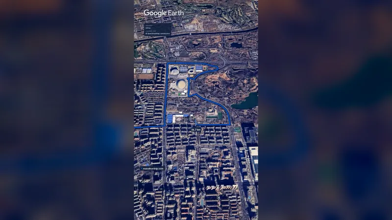 Imagery: Google Earth0:59 film
Beijing, China
Oct 202742.2 kmClimb 41 m
Climb summed after smoothing the heights over 1 km. The edge is this course's height profile on one scale for every race: 250 m above its lowest point fills it.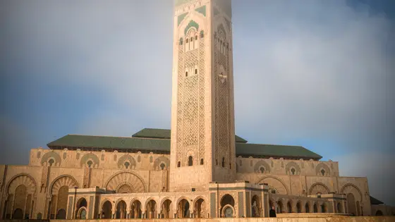
Casablanca, Morocco
Oct 202742.2 kmClimb 119 m
Climb summed after smoothing the heights over 1 km. The edge is this course's height profile on one scale for every race: 250 m above its lowest point fills it. Photo: Hassan II Mosque, by Tinuzzo, CC BY 4.0, via Wikimedia Commons.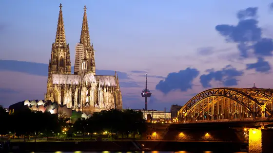
Cologne, Germany
Oct 202742.2 kmClimb 82 m
Climb summed after smoothing the heights over 1 km. The edge is this course's height profile on one scale for every race: 250 m above its lowest point fills it. Photo: Cologne Cathedral, by Jiuguang Wang, CC BY-SA 2.0, via Wikimedia Commons.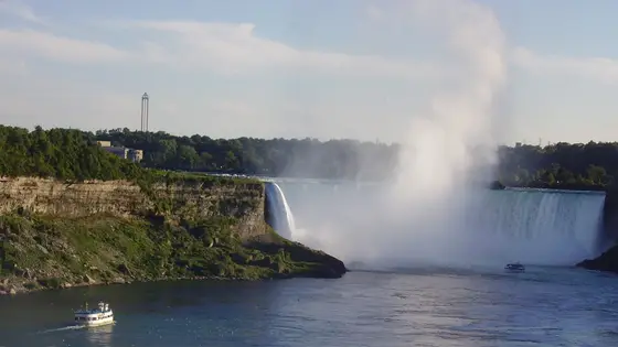
Niagara Falls, Canada
Oct 202742.2 km
Photo: Horseshoe Falls, by Leslie (Wikimedia Commons), CC BY-SA 2.5, via Wikimedia Commons.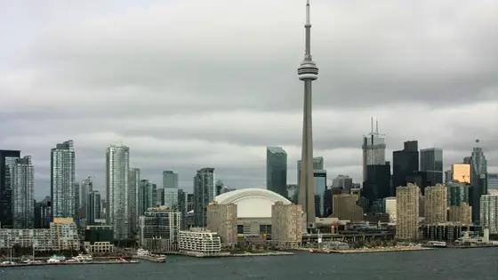
Toronto, Canada
Sun 17 Oct 202742.2 kmClimb 80 m
Climb summed after smoothing the heights over 1 km. The edge is this course's height profile on one scale for every race: 250 m above its lowest point fills it. Photo: CN Tower, by ImagePerson, CC BY 4.0, via Wikimedia Commons.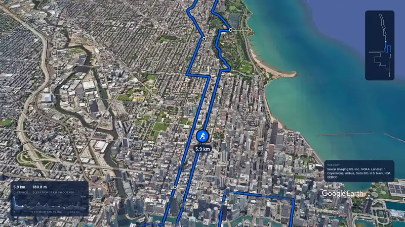 Imagery: Google Earth3:59 filmBallot open
Chicago, United States
Sun 10 Oct 202742.2 kmClimb 20 m
Climb summed after smoothing the heights over 1 km. The edge is this course's height profile on one scale for every race: 250 m above its lowest point fills it.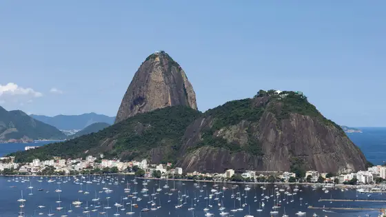
Rio de Janeiro, Brazil
Sun 30 May 202742.2 kmClimb 110 m
Climb summed after smoothing the heights over 1 km. The edge is this course's height profile on one scale for every race: 250 m above its lowest point fills it. Photo: Sugarloaf Mountain, by Arne Müseler, CC BY-SA 3.0 de, via Wikimedia Commons.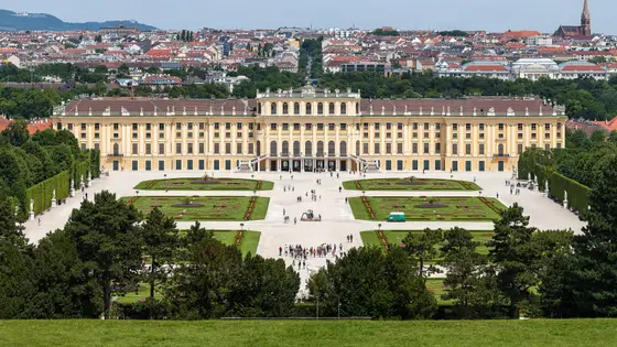
Vienna, Austria
Sun 18 Apr 202742.2 kmClimb 110 m
Climb summed after smoothing the heights over 1 km. The edge is this course's height profile on one scale for every race: 250 m above its lowest point fills it. Photo: Schönbrunn Palace, by Thomas Wolf, www.foto-tw.de, CC BY-SA 3.0 de, via Wikimedia Commons.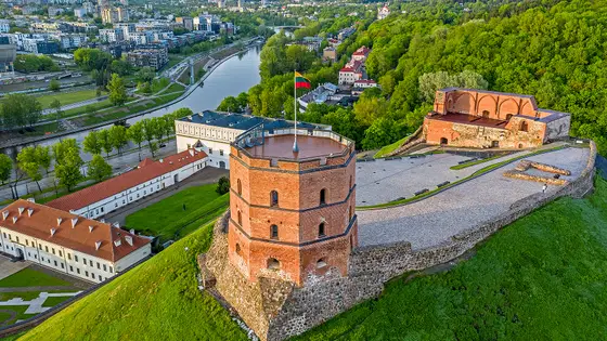
Vilnius, Lithuania
Sun 12 Sep 202742.2 kmClimb 116 m
Climb summed after smoothing the heights over 1 km. The edge is this course's height profile on one scale for every race: 250 m above its lowest point fills it. Photo: Gediminas' Tower, by BigHead, CC BY-SA 4.0, via Wikimedia Commons.The organiser had not published the 2027 date when this was checked on 30 October 2026. It will be the 52nd running. The 51st ran on Sunday 25 October 2026, with the runners starting at 7:20am on Route 110 in Arlington.
There is no single cut-off. The organiser asks for a pace of 14 minutes per mile and sets three clock-time gauntlets. In 2026 they closed at 12:33pm on Independence Avenue, at 1:15pm at 14th and D Streets before the 14th Street Bridge (mile 20, the Beat the Bridge Gauntlet) and at 1:49pm at 12th Street South in Crystal City. Runners who miss one are diverted off the certified course and are not official finishers.
Only at the ends. The course climbs 112.4 m in all, and 59 m of it comes in the first 3.7 km, up through Rosslyn to the high point of 66 m on Langston Boulevard. After km 6 the road never rises above 20 m. The last stretch to the Marine Corps War Memorial climbs again: the ground under the final 650 m rises about 14 m.
By Metro. In 2026 the stations opened at 5am on race day, and runners took the train to Pentagon or Pentagon City for the Runners Village in the North Pentagon Parking Lot, where the start and the bag drop are. Metrobus routes that normally serve the Pentagon were diverted to Pentagon City.
In 2026 at the Health and Fitness Expo at the Building Museum, from Wednesday 21 to Saturday 24 October, in a time slot booked in advance. Runners brought the e-Card and a photo ID. There was no pick-up on race morning except for runners who had bought Race Day Packet Pick-Up.
Not on the line in 2026: WMATA said only runners would be allowed at the start and finish lines, and the finish was closed to spectators. The Finish Festival in downtown Rosslyn, where bags are collected, is the meeting place. Along the course, the organiser points spectators to the Lincoln Memorial, which runners pass at mile 10 and mile 16.
Yes. The course is USATF-certified and the organiser says official finish times can be used to qualify for the Boston Marathon. A runner diverted at a gauntlet is not an official finisher, so the time only counts if every gauntlet is made.
Not entirely. It has 112.4 m (369 ft) of climbing over 42.2 km (26.2 miles). The highest point is 65 m (213 ft) above the lowest.
Entry for the 2026 race is open. It opened on 6 April 2026. There are 3 ways in: General registration, Charity partners and MCM Runners Club. Entry fee: US$240 (for the 2026 race). Entry details on the organiser’s site
30,191 runners finished in 2025.
Men: 2:14:01, Jeff Scuffins, 1987. Women: 2:34:08, Tessa Barrett, 2025.
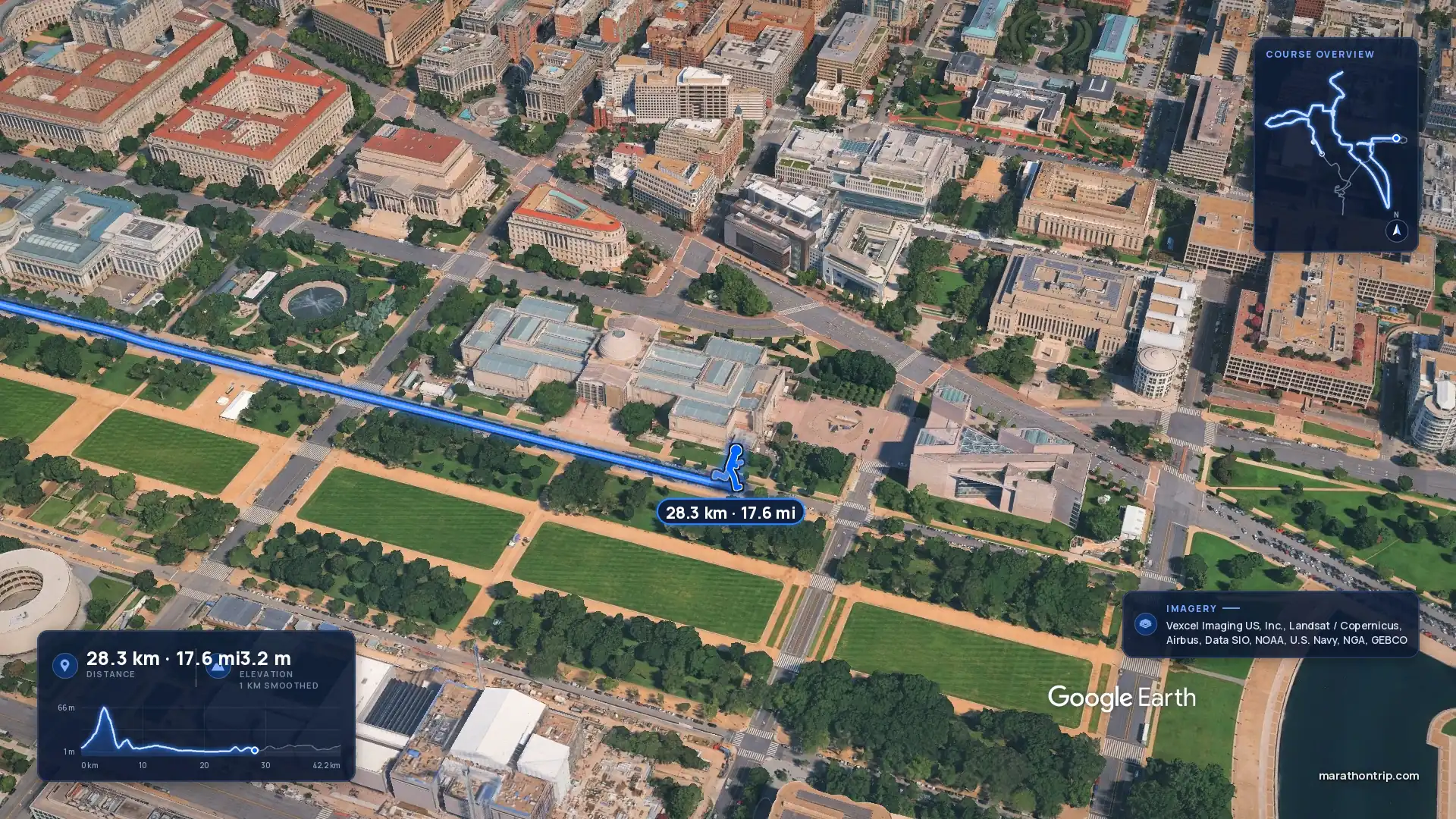
Yes. A 3D flyover film of the whole course, start to finish (4:00), plays at the top of this page.
Reagan National Airport is the close one. Its Metrorail station is an elevated station connected to the concourse level of Terminal 2 by two enclosed pedestrian bridges, and Uber and Lyft serve the airport too. Dulles International also has trains from the airport to downtown Washington.
The race starts and finishes in Arlington, not in the District, so the Virginia side is the practical base. Pentagon City has its own Metro station for the Runners Village, and the course passes through Crystal City, next door, at about km 36. Rosslyn holds the finish, the bag pick-up and the Finish Festival, and is on the same side of the river as the start. Staying near the National Mall puts a runner among the sights but means a Metro ride to the start, which in 2026 was on a 5am opening and normal Sunday frequencies.
In 2026 WMATA opened Metro at 5am with normal Sunday frequencies, and named Pentagon as the station for the Runners Village and the start. It pointed spectators to Smithsonian, Crystal City and L’Enfant Plaza, and to Arlington Cemetery station, which opened at 9am. All Metrobus service that normally runs to and from the Pentagon was diverted to Pentagon City, and buses that normally serve Rosslyn moved to North Oak Street.
The Marine Corps Marathon began with a memo: Colonel James L. Fowler proposed the race in October 1975, and the first was run on 7 November 1976. Its 1,175 participants ran a course through northern Virginia and finished at the Marine Corps War Memorial. The second drew 2,655 runners. Known as “The People’s Marathon”, it does not use a lottery: entry is first-come. Over 23,000 runners registered for the 48th in 2023, and the 50th, in 2025, had a record 30,191 finishers, the largest field in the race’s history. The organiser now calls it the third largest marathon in the United States.
The men’s course record is almost forty years old: Jeff Scuffins ran 2:14:01 in 1987, and it still stands. The women’s record fell at the 50th, when Tessa Barrett ran 2:34:08 and broke a mark that had stood for 35 years. The same year Kyle King won in 2:18:52 and became the first man to win three times.
Neither record fell in 2026. Marine Corps Maj. Kyle King won for the third year in a row, and the fourth time overall, in 2:17:31, and Kaylee Slade won the women’s race in 2:44:34, on preliminary times.
Checked against these sources on .
Film stills: Google Earth

42.2 km
 Google Earth
42.2 km
 Google Earth
Race week