
Ballot closed for the 2027 race As read 25 September 2026.
Past years and every way in
Entry details on the organiser’s site →
Dream Factory, a third party. We take no entries and have no part in the race.
 Marathon Trip
Your trips on every device: sign in, or make a free account when you save one.
Signed in on this browser.
Sign in My marathons Account and dataLocked out? An export link you keep still opens your list in any browser.
No account: email it to me
One email with this trip and a link to open it again. We do not keep the address and send nothing else.
Only a race from our list can be emailed. An account keeps this one.
What we keep, and what we do notCheck your inbox at to confirm it.
Browse the racesEach edition the day it comes out, and nothing else. Off again with one click. How it is kept.
A slow rise of 27 m to km 17, a climb of 31 m from km 20 to km 22, then downhill to km 24.
© OpenStreetMap contributors
km 0.7mile 0.5
The start, on Avenida Lúcio Costa at the Praia da Reserva in Barra da Tijuca, where the race sets off at 5:30 before sunrise.
km 16.8mile 10.5
The Elevado do Joá, the viaduct that carries the course along the cliff between Barra da Tijuca and São Conrado.
Photo: Rodrigo_Soldon, CC BY 2.0
km 20.8mile 12.9
The Dois Irmãos peaks above Vidigal and Leblon, seen ahead along Avenida Niemeyer.
Photo: amanderson2, CC BY 2.0
km 25.1mile 15.6
The canal and garden between Leblon and Ipanema, where the 21K starts.
km 26.6mile 16.5
Ipanema's beach, run along Avenida Vieira Souto.
Photo: Wilfredor, CC0
km 27.7mile 17.2
The rock between Ipanema and Copacabana, which the course rounds on Avenida Francisco Bhering.
Photo: Pribruder, CC0
km 28mile 17.4
The fort at the south end of Copacabana beach, passed as the course turns on to Avenida Atlântica.
Photo: MTur Destinos, Public domain
km 30.5mile 18.9
The 1923 hotel on Avenida Atlântica, passed late on Copacabana beach.
Photo: Wilfredor, CC0
km 33.7mile 20.9
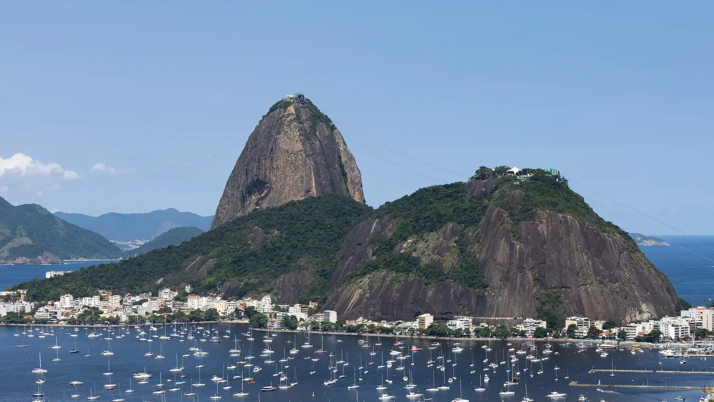
Botafogo bay along Avenida das Nações Unidas, with Sugarloaf at its mouth.
Photo: Wilfredor, CC0
km 38.6mile 24
Affonso Reidy's museum in the Aterro do Flamengo, passed on Avenida Infante Dom Henrique.
Photo: Imagens AMB, Public domain
km 39.7mile 24.7
The Paço Imperial on Praça XV, at the top of the loop through the city centre.
Photo: Alejandro from Mexico City, MEXICO, CC0
km 42.2mile 26.2
The monument to Brazil's dead of the Second World War in the Aterro do Flamengo, where the marathon finishes.
Photo: Wilfredor, CC0
Height drawn many times taller than life. Heights: GEDTM30.
Dashed: bridge

Your 5 gels, at the orange marksFor a 4:00 finish, one every 40 minutes
Get them on AmazonAmazon partner link
From the start at Recreio the course runs beside the sea, and for the first 14.5 km it never leaves a band between 3 m and 8 m above sea level. That is the fast part of the day. The low point of the whole marathon comes at the end of it, 2.4 m at about km 14.5.
Then the road lifts. From km 14.5 it climbs about 30 m in 2.5 km, to roughly 32 m at km 16.3, and it does so on structures: the Ponte da Joatinga at km 15.0, the Túnel do Joá at km 15.9 and the Elevado do Joá from km 16.2 to km 17.7. The top is a plateau of about a kilometre at 32 m, and by km 19 the road is back down at 8 m.
Anyone who has run the flat opening on feel meets it there, a third of the way in.
The course map the organiser has published is the 2026 one; the 2027 course is “em breve” on the organiser’s page, so the kilometres above are those of the 2026 line.
Measured
The second hill comes just past the half. From 8 m at km 19.9 the road rises to 38.8 m at km 21.7, the highest point of the course, and holds it to about km 22.3 before coming down to 6 m by km 24. That is about 31 m in 1.8 km, a steeper lift than the one at Joá, and the runner reaches it already past halfway.
The last third has two more smaller rises, both through tunnels. Past km 30.7 the road climbs from 4 m to about 22 m at km 31.7, running through the Túnel Novo (km 31.6 to 31.9), and falls again through the Túnel do Pasmado (km 32.8 to 33.0). By km 33.5 it is back at 4 m.
The final 8 km between the shore and the finish at the Monumento aos Pracinhas in the Aterro do Flamengo are the flattest stretch after the start: a single bump of 11 m at about km 39.5, and the finish at under 5 m. The whole course climbs about 110 m.
The organiser’s published map is the 2026 course; the 2027 course is announced as coming.
Measured
A point-to-point run along the coast from Recreio dos Bandeirantes to the Aterro do Flamengo, passing Barra da Tijuca, Ipanema and Copacabana.
The Maratona do Rio is a point-to-point course of 42.2 km with 110.4 m of climbing. Its lowest point is 2 m and its highest 39 m above sea level. Next race: Sunday 30 May 2027, starting at 05:30.
05:305:30 AM
Time not published
Times as published by Dream Factory, in Rio de Janeiro time, checked .
The forecast for Sunday
Add to calendar .ics file, times in Rio de Janeiro time
Ballot closed for the 2027 race As read 25 September 2026.
Dream Factory, a third party. We take no entries and have no part in the race.
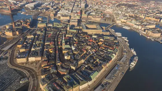
Stockholm, Sweden
Sat 29 May 202742.2 kmClimb 138 m
Climb summed after smoothing the heights over 1 km. The edge is this course's height profile on one scale for every race: 250 m above its lowest point fills it. Photo: Gamla stan, by Arild Vågen, CC BY-SA 3.0, via Wikimedia Commons.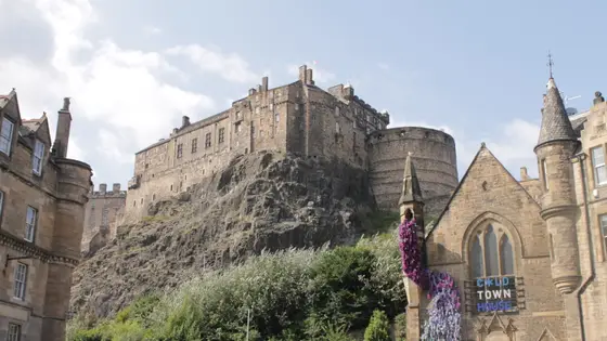
Edinburgh, United Kingdom
Sun 30 May 202742.2 kmClimb 39 m
Climb summed after smoothing the heights over 1 km. The edge is this course's height profile on one scale for every race: 250 m above its lowest point fills it. Photo: Edinburgh Castle, by Stephencdickson, CC BY-SA 4.0, via Wikimedia Commons.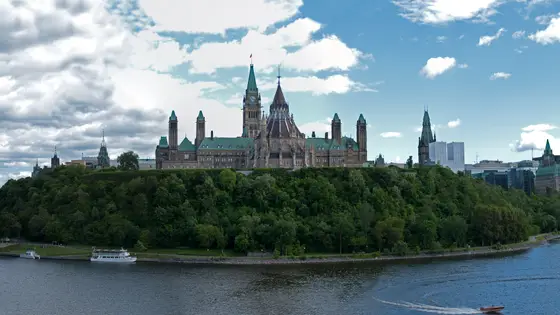
Ottawa, Canada
Sun 30 May 202742.2 kmClimb 99 m
Climb summed after smoothing the heights over 1 km. The edge is this course's height profile on one scale for every race: 250 m above its lowest point fills it. Photo: Parliament Hill, by David Samuel, User:Hellodavey1902, CC BY-SA 3.0, via Wikimedia Commons.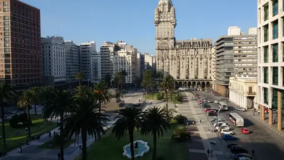
Montevideo, Uruguay
May 202742.2 kmClimb 149 m
Climb summed after smoothing the heights over 1 km. The edge is this course's height profile on one scale for every race: 250 m above its lowest point fills it. Photo: Palacio Salvo, by Mx. Granger, CC0, via Wikimedia Commons.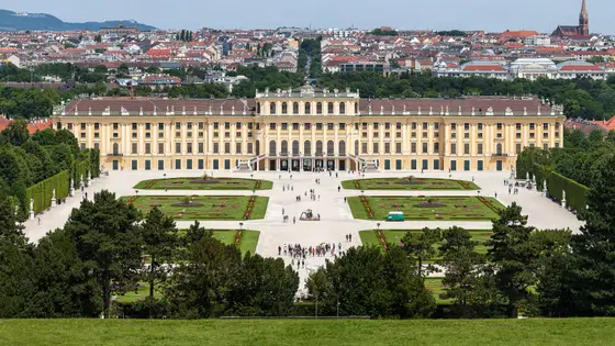
Vienna, Austria
Sun 18 Apr 202742.2 kmClimb 110 m
Climb summed after smoothing the heights over 1 km. The edge is this course's height profile on one scale for every race: 250 m above its lowest point fills it. Photo: Schönbrunn Palace, by Thomas Wolf, www.foto-tw.de, CC BY-SA 3.0 de, via Wikimedia Commons.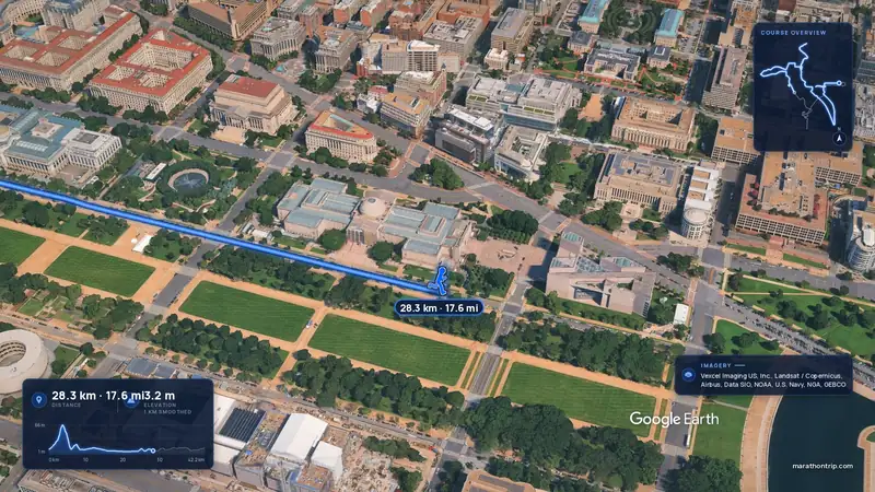 Imagery: Google Earth4:00 film
Washington, D.C., United States
Oct 202742.2 kmClimb 112 m
Climb summed after smoothing the heights over 1 km. The edge is this course's height profile on one scale for every race: 250 m above its lowest point fills it.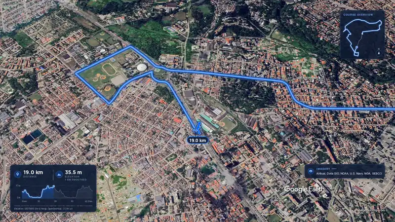 Imagery: Google Earth3:57 filmEntry open
Havana, Cuba
Sun 15 Nov42.2 kmClimb 108 m
Climb summed after smoothing the heights over 1 km. The edge is this course's height profile on one scale for every race: 250 m above its lowest point fills it.Not entirely. It has 110.4 m of climbing over 42.2 km. The highest point is 36 m above the lowest.
Sunday 30 May 2027. The start is at 05:30.
The 2027 ballot has closed. It opened on 31 August 2026, closed on 13 September and the results came out on 25 September. There are 2 ways in: General ballot and Direct entry for runners from abroad. Entry fee: R$359 (for the 2027 race). Entry details on the organiser’s site
Runners have 6 hours to finish.