
Entry through the organiser
Entry details on the organiser’s site →
Canada Running Series, a third party. We take no entries and have no part in the race.
 Marathon Trip
Your trips on every device: sign in, or make a free account when you save one.
Signed in on this browser.
Sign in My marathons Account and dataLocked out? An export link you keep still opens your list in any browser.
No account: email it to me
One email with this trip and a link to open it again. We do not keep the address and send nothing else.
Only a race from our list can be emailed. An account keeps this one.
What we keep, and what we do notCheck your inbox at to confirm it.
Browse the racesEach edition the day it comes out, and nothing else. Off again with one click. How it is kept.
A climb of 16 m to km 3, downhill to km 8, then a slow rise of 13 m home.
© OpenStreetMap contributors
km 0mile 0
km 2mile 1.2
Photo: Raysonho, Open Grid Scheduler / Grid Engine, CC0
km 4.6mile 2.8
Photo: Bernard Spragg. NZ, CC0
km 6.3mile 3.9
Photo: The City of Toronto / Jose San Juan, CC BY 2.0
km 8.1mile 5
The gates stand on Exhibition Place's Strachan Avenue side; the course passes twice, out at km 8.1 and back at km 16.6.
Photo: Raysonho, Open Grid Scheduler / Grid Engine, CC0
km 10.2mile 6.3
The pavilion is on the lake side of Lake Shore Boulevard; the course passes twice, km 10.2 and km 14.6.
Photo: Canned Muffins from Toronto, Canada, CC BY 2.0
km 19.3mile 12
Photo: ImagePerson, CC BY 4.0
km 22.2mile 13.8
Photo: PvOberstein, CC0
km 31.1mile 19.3
Photo: Jeff Hitchcock from Seattle, WA, USA, CC BY 2.0
km 42.2mile 26.2
Photo: Bernard Spragg. NZ, CC0
Height drawn many times taller than life. Heights: GEDTM30.
Dashed: bridge

Your 5 gels, at the orange marksFor a 4:00 finish, one every 40 minutes
Get them on AmazonAmazon partner link
Toronto puts its only hill first. The start on Yonge Street is already high ground, the road climbs 20.3 m in the first 1.4 km, and then it runs downhill for five kilometres to Lake Ontario. From km 6 to km 40 the course never leaves a band 12.2 m tall. A runner who holds back up Yonge Street and on the long descent of Bathurst Street has a lakeside marathon ahead that rewards even pacing, three turnarounds that show the leaders coming the other way, and one sting at the end: about 12 m of rise in the last 2 km, up to Bay Street.
The course is point to point on paper, but the start on Yonge Street and the finish on Bay Street, beside City Hall, are only about 800 m apart. In between, the organiser describes “a 42K course through the downtown core and along the waterfront of Toronto, heading through more than a dozen Toronto neighbourhoods.” The kilometres and heights below are measured along the organiser’s 2026 course, matched to the streets, on a bare-earth elevation model. The organiser has not published the 2027 course, so check its Event Info page before you plan your pacing.
The start line is on Yonge Street, north of Gerrard Street, facing north, at 99.5 m. The course runs up Yonge and turns west onto Bloor Street West at about km 1.3, and at km 1.4 it reaches 119.9 m, the highest point of the race. That 20.3 m is the one climb of any size in the whole marathon, and it comes in the first minutes, in a crowded field. Losing a few seconds here costs nothing; chasing them costs a lot later.
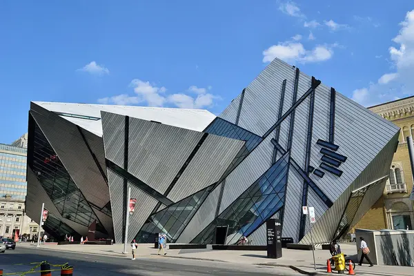
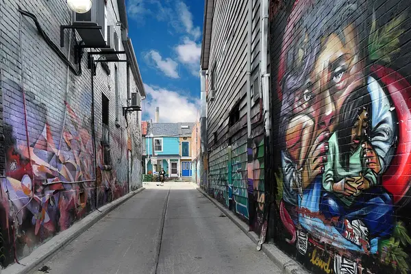
Bloor Street West passes the Royal Ontario Museum at about km 2.0. The road holds between 113 and 116 m from km 2 to km 3.5, along Bloor and the top of Bathurst Street, then falls steadily down Bathurst, past Kensington Market, a few streets to the east, at about km 4.6. By km 6.0 it is at lake level, and the Bathurst Street bridge carries it past Fort York at about km 6.3. The road reads 78.9 m at km 6.5, and the course turns west onto Lake Shore Boulevard West at about km 6.9. The descent is a gentle grade, but it is where a first half gets run too fast.
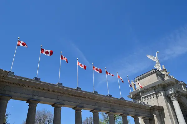
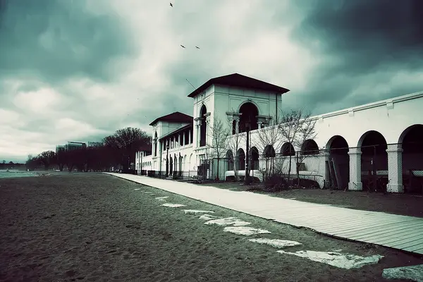
This is the first of three out-and-back legs. Lake Shore Boulevard West runs west past the Princes’ Gates of Exhibition Place at about km 8.1 and the Sunnyside Bathing Pavilion at about km 10.2, out to the turnaround at Ellis Avenue at km 12.4. A water station stood on Lake Shore Boulevard near Ellis Avenue at 12K in 2026. The course then comes back the same way, past Sunnyside again at about km 14.6 and the Princes’ Gates at about km 16.6, to km 19.3. The road here is flat: between 76 and 81 m for the whole 12 km.
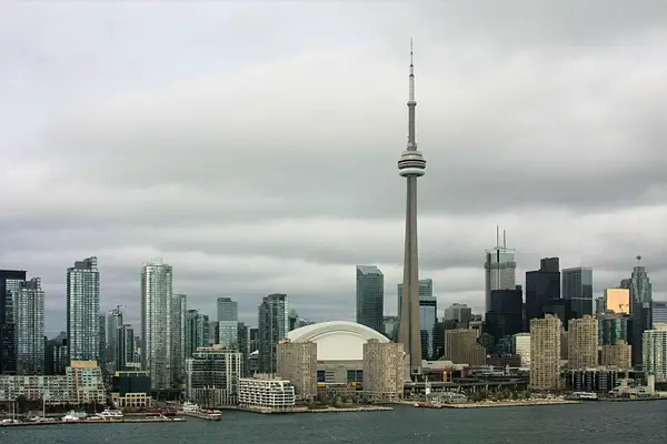
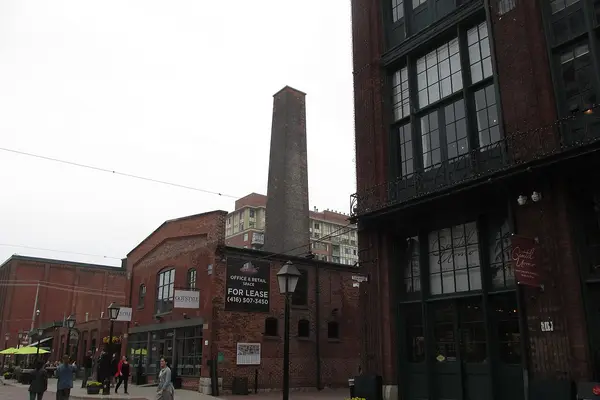
From the lake the course turns up through downtown on Bay, Wellington and Church Streets, with the CN Tower in view along Bay Street at about km 19.3. Halfway, km 21.1, falls on Front Street East, and the Distillery District is close by at about km 22.2. The second out-and-back is short: north up Bayview Avenue from Front Street East to the turn at River Street at km 24.4, about 1.4 km each way.
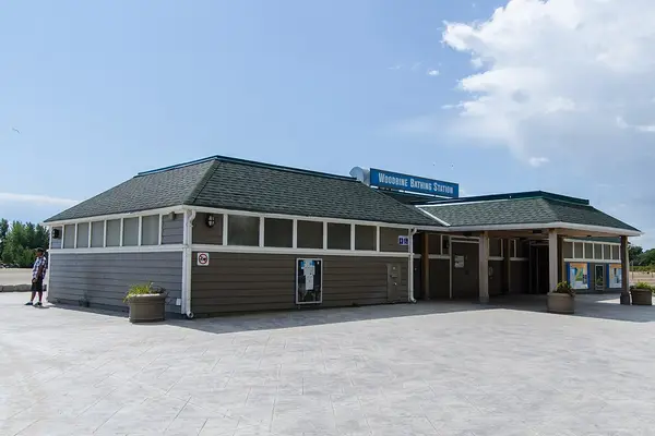
The third leg is the long one. Eastern Avenue carries the course over a bridge at about km 26.6 to 27.0, then Carlaw Avenue leads down to Lake Shore Boulevard East, which runs east to Woodbine Avenue and Woodbine Beach at about km 31.1. The 2026 water station near Coxwell Avenue, at 31K, is on this stretch. The course turns up Woodbine Avenue to Queen Street East and runs along it to the turnaround at km 33.0, 1.2 km past the Woodbine corner. This is the only real rise since the start: from about 77 m at the Woodbine corner to about 86 m on Queen Street East, a rise of about 9 m spread over two kilometres. Back down Woodbine Avenue at about km 35.0, the course heads west on Lake Shore Boulevard East, and at km 37.1 it passes the lowest point of the race, 75.1 m.
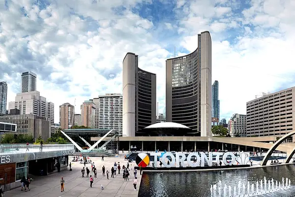
The course leaves Lake Shore Boulevard East at km 37.6 and comes back along Eastern Avenue, over the same bridge at about km 39.1 to 39.5, and along Front Street East, passing the Distillery District again at about km 40.0. At km 40.5 it is at 79.4 m. From there the ground rises to 91.1 m at about km 41.5, where the course turns up Bay Street: about 12 m in the last 2 km, after 34 km of flat. It eases to the finish on Bay Street, just north of Queen Street, beside City Hall, at 89.1 m. That is 10.4 m lower than the start, but it does not feel like a downhill finish. Save something for the last kilometre and a half.
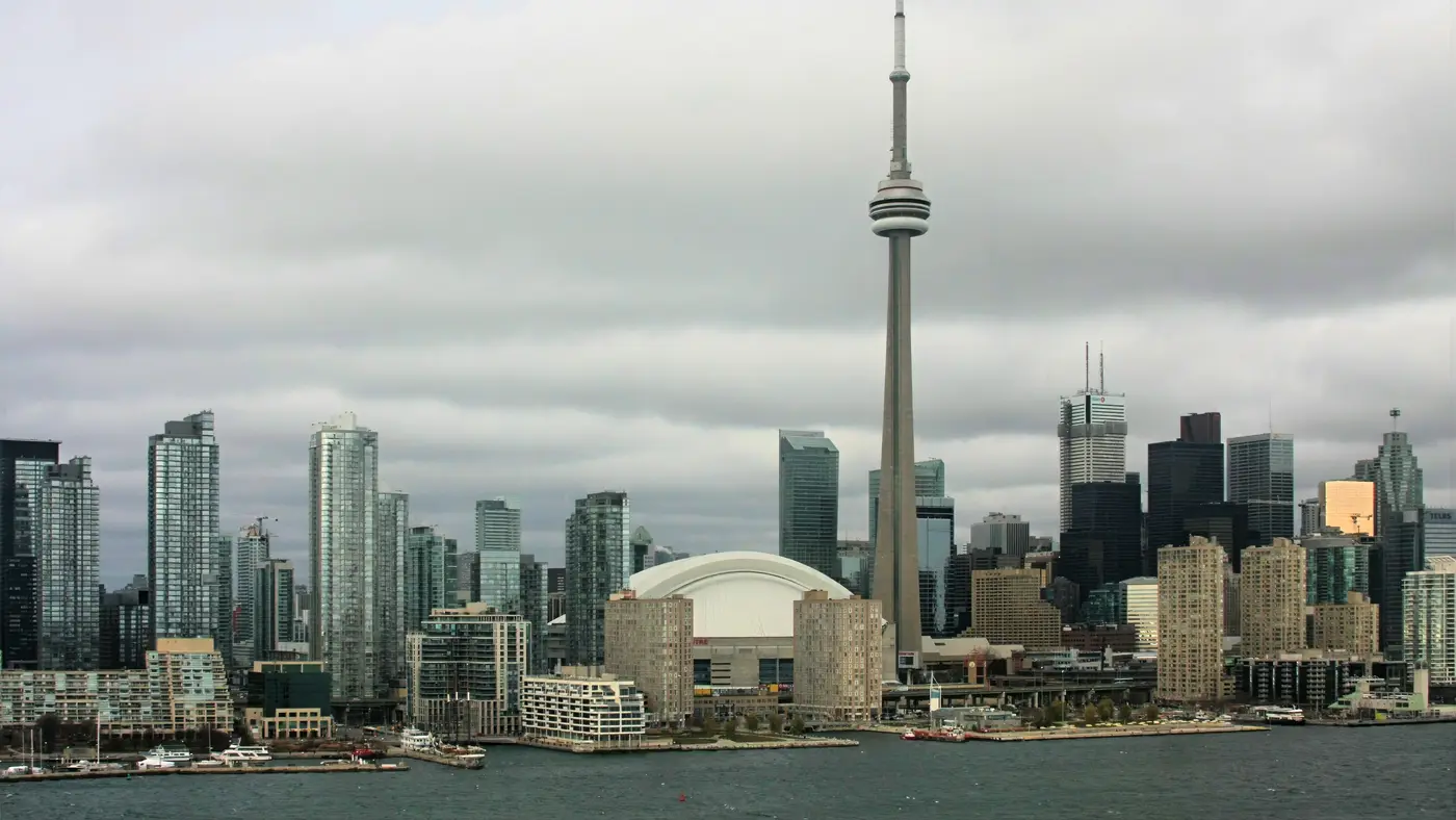
A World Athletics label race along Toronto's waterfront and downtown core, starting on Yonge Street and finishing on Bay Street after more than a dozen neighborhoods.
The Toronto Waterfront Marathon is a point-to-point course of 42.2 km with 79.9 m of climbing. Its lowest point is 75 m and its highest 120 m above sea level. Next race: Sunday 17 October 2027.
The race-week details for 2027 are not out yet. Only the date and the start time are published. This is how race week ran in 2026, from the organiser’s Race Weekend and Event Info pages. Check them again for 2027. In 2026 the marathon was capped at 9,500 runners and the half at 13,000, and every distance sold out.
Race kits were handed out at the expo at the Better Living Centre, 195 Princes’ Blvd. It was open on the Friday from 10:00 a.m. to 8:00 p.m. and on the Saturday from 10:00 a.m. to 6:00 p.m., with last admission for kit pickup 30 minutes before closing. Marathon and half marathon kits were handed out on the Saturday only, and 5K kits on the Friday only, so a marathon runner must be in Toronto by Saturday afternoon. No race-morning pickup was mentioned.
Bring your race-week bib number email. A friend can collect your kit with that email and a written, text or email note from you, and one person can collect at most three kits, their own included.
The marathon and the half marathon start together on Yonge Street, in corrals by the finish time you expect; the colour is on your bib. The corrals do not all go at 8:00. In 2026 the elite wheelchairs started at 7:57 a.m., then:
Each corral had its own entry window and its own gate. Red entered on Yonge Street south of Elm Street, Yellow at Dundas Street, and Blue and later at the south corral gate on Yonge Street, south of Shuter Street. Red’s window closed at 7:45 a.m. and Yellow’s at 7:55. The south gate closed at 9:25 a.m. and the start line at 9:31, right after the walking corral.
The marathon bag check was at Nathan Phillips Square, just north of Queen Street, from 6:00 a.m. to 3:00 p.m.; the half marathon’s was separate, on Queen Street just south of the square. Use your own bag, no larger than 45 by 32 by 17 cm, tagged with the tear-off sticker from your bib. No plastic bags are handed out, and you need your bib to collect the bag. Nathan Phillips Square is also Race Central, with the help desk, and it sits beside City Hall, like the finish.
The Pace Team, powered by ASICS, ran marathon paces from 3:00 to 6:00 and half marathon paces from 1:30 to 3:00. Hydration and aid stations stood roughly every 3 km, and the organiser asked runners to carry a reusable bottle. The water stations at 12K and 31K, both on Lake Shore Boulevard, had lactation stations.
The marathon has six hours. In 2026 the course and the finish line closed at 3:30 p.m., six hours after the walking corral started, and bag check closed half an hour before that. The half marathon closed at 1:00 p.m., after 3 hours 30 minutes.
Entry through the organiser
Canada Running Series, a third party. We take no entries and have no part in the race.
The UP Express train runs from Pearson Airport to downtown Toronto in 28 minutes, and a standard one-way fare is $12.35.
Everything on race morning happens within a few streets of each other in the downtown core: the start on Yonge Street north of Gerrard, the corral gates between Elm Street and Shuter Street, the bag check at Nathan Phillips Square and the finish on Bay Street north of Queen. A base in the downtown core within walking distance of Yonge and Dundas takes the race-morning journey out of the question. That matters more in Toronto than at most races: in 2026 the organiser noted that subway service starts at 8:00 a.m. on a Sunday, which is when the first corral starts and after the Red and Yellow windows have closed.
The organiser recommends transit on race day. In 2026, westbound Bloor buses were diverted at Church Street from 7:00 a.m. and the Yonge bus ran down Church Street. On the GO Lakeshore West line there was no train service between Aldershot and Oakville over the race weekend, with buses instead. Bay Street was closed to pedestrians crossing east to west between Lake Shore Boulevard and Dundas Street from 8:45 a.m.; spectators were sent to cross at Dundas Street or by the Union Station bridge. The road closures are on the organiser’s interactive racePoint map, with a timeline.
A bike valet ran on Queen Street on the Sunday, from 6:30 a.m. to 1:00 p.m.
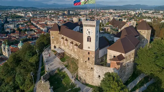
Ljubljana, Slovenia
Sun 17 Oct 202742.2 kmClimb 70 m
Climb summed after smoothing the heights over 1 km. The edge is this course's height profile on one scale for every race: 250 m above its lowest point fills it. Photo: Ljubljana Castle, by LjGrad, CC BY-SA 4.0, via Wikimedia Commons.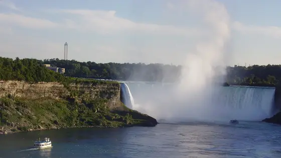
Niagara Falls, Canada
Oct 202742.2 km
Photo: Horseshoe Falls, by Leslie (Wikimedia Commons), CC BY-SA 2.5, via Wikimedia Commons.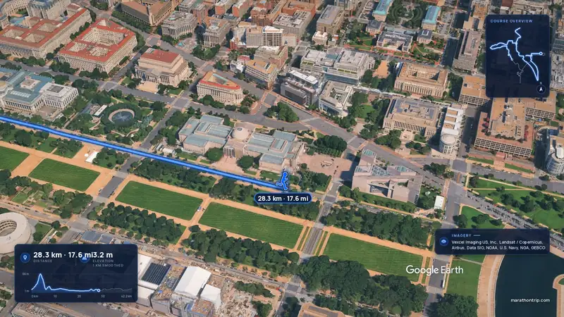 Imagery: Google Earth4:00 film
Washington, D.C., United States
Oct 202742.2 kmClimb 112 m
Climb summed after smoothing the heights over 1 km. The edge is this course's height profile on one scale for every race: 250 m above its lowest point fills it.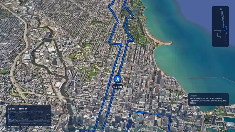 Imagery: Google Earth3:59 filmBallot open
Chicago, United States
Sun 10 Oct 202742.2 kmClimb 20 m
Climb summed after smoothing the heights over 1 km. The edge is this course's height profile on one scale for every race: 250 m above its lowest point fills it.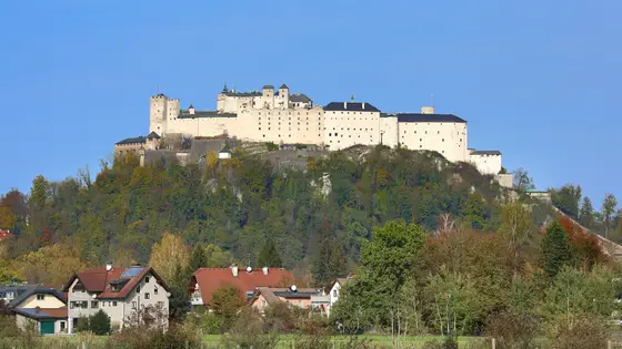
Salzburg, Austria
Sun 23 May 202742.2 kmClimb 79 m
Climb summed after smoothing the heights over 1 km. The edge is this course's height profile on one scale for every race: 250 m above its lowest point fills it. Photo: Hohensalzburg Fortress, by C.Stadler/Bwag, CC BY-SA 4.0, via Wikimedia Commons.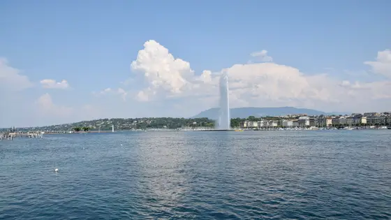
Geneva, Switzerland
Sun 9 May 202742.2 kmClimb 79 m
Climb summed after smoothing the heights over 1 km. The edge is this course's height profile on one scale for every race: 250 m above its lowest point fills it. Photo: Jet d'Eau, by Ank Kumar, CC BY-SA 4.0, via Wikimedia Commons.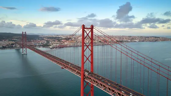
Lisbon, Portugal
Oct 202742.2 kmClimb 81 m
Climb summed after smoothing the heights over 1 km. The edge is this course's height profile on one scale for every race: 250 m above its lowest point fills it. Photo: 25 de Abril Bridge, by Mike, CC BY 3.0, via Wikimedia Commons.Sunday 17 October 2027, with the start at 8:00 a.m. on Yonge Street, north of Gerrard Street. The 5K runs the day before, Saturday 16 October 2027, at 9:00 a.m.
Almost entirely. The one climb of any size is the first 1.4 km, 20.3 m up Yonge Street to the high point on Bloor Street West. The course then drops to the lake by km 6.5, and from km 6 to km 40 it stays within a band 12.2 m tall. The last 2 km rise about 12 m up to Bay Street, and the finish is 10.4 m lower than the start.
Six hours. In 2026 the marathon course and the finish line closed at 3:30 p.m., six hours after the last corral, the walking corral, started at 9:30 a.m. The half marathon had 3 hours 30 minutes and closed at 1:00 p.m.
In 2026 kits were handed out at the expo at the Better Living Centre, 195 Princes' Blvd. Marathon and half marathon runners could collect only on the Saturday, from 10:00 a.m. to 6:00 p.m., with last admission at 5:30 p.m. Bring your race-week bib number email. No race-morning pickup was mentioned.
Corrals go by the finish time you expect, and the colour is on your bib. In 2026 Red started at 8:00 a.m. (marathon 2:05 to 3:39), Yellow at 8:20, Blue at 8:40, Green at 9:00, Purple at 9:20 and the walking corral, Orange, at 9:30. Each corral had its own entry window and gate on Yonge Street.
Yes. In 2026 the marathon bag check was at Nathan Phillips Square, just north of Queen Street, from 6:00 a.m. to 3:00 p.m. on race day. You bring your own bag, at most 45 by 32 by 17 cm, and tag it with the tear-off sticker from your bib. No plastic bags are handed out.
Philemon Rono's 2:05:00 from 2019 for the men, which the organiser calls the fastest marathon run on Canadian soil. For the women, Wikipedia lists Waganesh Mekasha's 2:20:44 from 2024. Neither fell in 2026.
Runners have 6 hours to finish.
Men: 2:05:00, Philemon Rono, 2019. Women: 2:20:44, Waganesh Mekasha, 2024.
The first Toronto Waterfront Marathon was run in 2000. Joseph Nderitu of Kenya won it in 2:19:41 and Sue Grise of Canada in 3:08:38. It is run on the second or third Sunday of October, and Wikipedia describes it as Canada’s most prestigious road race. The title sponsor has changed over the years: it ran as the Scotiabank Toronto Waterfront Marathon, and is now the TCS Toronto Waterfront Marathon. By 2024 the organiser was expecting 25,000 runners from more than 70 countries across all the weekend’s distances.
The course records came down in steps. In 2011 Koren Jelela Yal set the women’s record, and in 2013 Deressa Chimsa broke the men’s, running what was then the fastest marathon on Canadian soil. In 2018 Cam Levins broke Jerome Drayton’s Canadian marathon record here, which had stood for 43 years. In 2019 Philemon Rono of Kenya won in 2:05:00, beating his own 2:06:52 from 2017, and the organiser’s history calls it the fastest marathon on Canadian soil. The women’s record, per Wikipedia, is Waganesh Mekasha’s 2:20:44 from 2024.
Neither record fell in 2026. Leonard Langat of Kenya won the men’s race in 2:06:51, the fastest winning time in Toronto since 2019. Leah Jeruto of Kenya won the women’s race in 2:21:19, 15 seconds ahead of Nigsti Haftu. Andrew Davies (2:08:48) and Dayna Pidhoresky (2:26:02) won the Canadian titles.
Checked against these sources on .