Ballot closed for the 2026 race As read 25 September 2026.
Past years and every way in
Entry details on the organiser’s site →
Chinese Athletics Association, a third party. We take no entries and have no part in the race.
 Marathon Trip
Your trips on every device: sign in, or make a free account when you save one.
Signed in on this browser.
Sign in My marathons Account and dataLocked out? An export link you keep still opens your list in any browser.
No account: email it to me
One email with this trip and a link to open it again. We do not keep the address and send nothing else.
Only a race from our list can be emailed. An account keeps this one.
What we keep, and what we do notCheck your inbox at to confirm it.
Browse the racesEach edition the day it comes out, and nothing else. Off again with one click. How it is kept.
Imagery: Google Earth and its imagery providers
A slow rise of 13 m to km 11, downhill to km 18, then flat from km 18 to km 36.
© OpenStreetMap contributors
km 0.5mile 0.3
Tiananmen, the Gate of Heavenly Peace, was the main gate of the Imperial City, first built in 1420.
km 4mile 2.5
Fuxingmen Bridge carries Chang'an Avenue's westward line over the Second Ring Road.
km 6.7mile 4.2
The Military Museum of the Chinese People's Revolution opened in 1959, one of the Ten Great Buildings; the China Millennium Monument beside it was built for the year 2000.
km 10.5mile 6.5
Huayuan Bridge is the West Third Ring Road interchange where the course leaves the ring road and turns west onto Linglong Road, at km 10.5.
km 16.6mile 10.3
The course joins the North Fourth Ring Road at Huoqiying Bridge, km 16.64, and runs east along it for 7.5 km to Zhixin Bridge, km 24.16, the longest stretch of one road on the course.
km 26.6mile 16.5
Xueyuan Road takes its name from the colleges built along it in the 1950s. The course runs north on it at km 26.20-27.05; the university campuses either side are 350-450 m off the line, visible from height only.
km 32.9mile 20.5
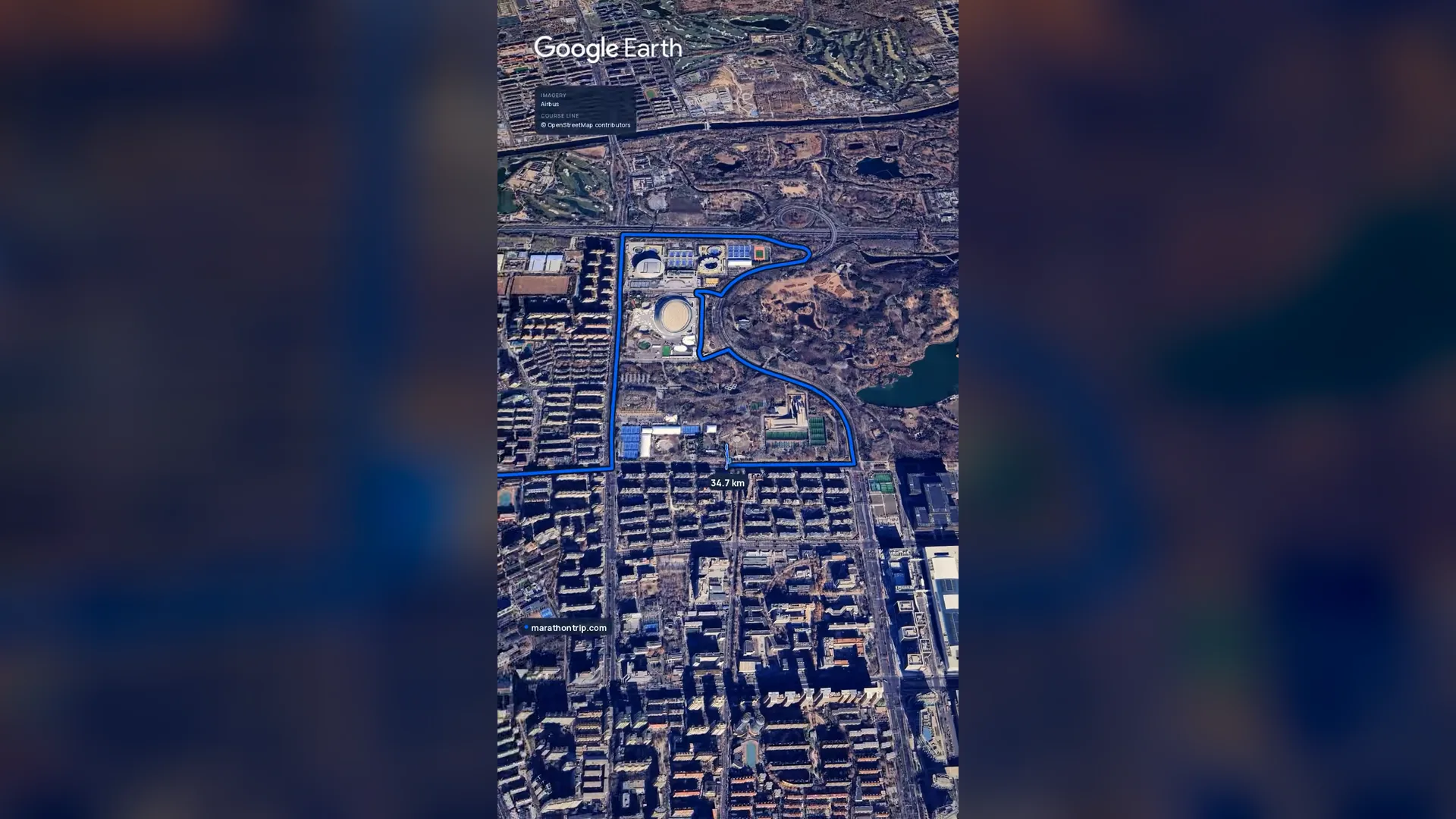
The National Speed Skating Oval, called the Ice Ribbon for the bands of light around its walls, was the speed skating venue of the 2022 Winter Olympics.
km 40.6mile 25.2
The Beijing Olympic Tower stands 246.8 m at the north end of the Olympic Green. The course passes it 104 m off on Kehui South Road at km 40.61, just before turning onto the Landscape Avenue for the finish.
km 42.2mile 26.2
The course reaches it at km 40.72, loops out over Datun North Road, Hujing East Road and Datun Road, and comes back onto it at km 41.85 for the last 350 m. The National Stadium and the National Aquatics Center are 730-770 m south of the finish, visible from height only.
Height drawn many times taller than life. Heights: GEDTM30.
Tall ticks: food short: other aid dashed: bridge upright dashes: cut-offs

Your 5 gels, at the orange marksFor a 4:00 finish, one every 40 minutes
Get them on AmazonAmazon partner link
The start at Tiananmen Square is at 43.1 m and the finish on the Olympic Green is at 43.5 m, so the race is a point-to-point that ends level with where it began. Between them the road reaches 56.6 m near km 11 and 38.6 m near km 38.5, a range of 18 m across the whole distance.
The climbing is front-loaded. The first 10 km add about 13 m, which takes the road from 43 m to 56 m along Chang’an Avenue, Fuxing Road and the West Third Ring Road. After the high point near km 11 the road falls, with only small rises: 50 m at the half-way mark, 47.5 m at 30 km, 38.6 m near km 38.5. The last 3.7 km rise about 5 m to the finish.
Added up, the whole course gains 41 m.
Measured
The organiser’s regulations for Sunday 18 October 2026 name the start as “天安门广场” (Tiananmen Square) and the finish as “奥林匹克公园中心区景观大道” (the Landscape Avenue in the centre of the Olympic Park). The entry notice adds that the route passes through the Dongcheng, Xicheng, Haidian and Chaoyang districts.
The route sentence begins on the road along the square’s east side and turns left onto Chang’an Avenue, then follows Fuxingmen Inner and Outer Streets and Fuxing Road, turns north onto the frontage road of the West Third Ring Road, and continues by Linglong Road and Landianchang Road to the North Fourth Ring Road. From there it runs east, follows Zhixin Road, Xueyuan Road and Xueqing Road, and reaches the Olympic Park by way of the North Fifth Ring Road.
Sourced
The organiser’s route sentence takes the field off Olympic West Road at the National Speed Skating Oval, the speed skating venue of the 2022 Winter Olympics, and round its north, inner and south roads: km 32.6 to 33.3. Kehui Road then carries the one turnaround on the Olympic Green (“科荟路(折返)” in the regulations), out and back across roughly km 34.2 to 35.2.
The Olympic Tower is 104 m off the road at km 40.6. The course turns onto the Landscape Avenue at km 40.7, leaves it for Datun North Road, Hujing East Road and Datun Road, and comes back onto the avenue at km 41.85 for the last 350 m.
Measured
Everyone starts together on “一枪发令同时起跑”, a single gun, at 07:30. The regulations’ cut-off table (“关门时间”) gives these clock times: 5 km at 08:25, 10 km at 09:00, 15 km at 09:40, 20 km at 10:20, the half-way point at 10:30, 25 km at 11:00, 30 km at 11:45, 35 km at 12:30 and the finish at 13:30.
Counted from the gun, that is 55 minutes for the first 5 km, 3 hours at the half-way mark, 5 hours at 35 km and 6 hours for the whole distance, an average of about 8:32 a kilometre. At each point the timing mat stops at the stated time and the road behind it reopens to traffic. A runner who finishes inside the limit but misses any timing mat is not ranked. Runners who are stopped can ride a sweep vehicle from a collection point to the finish.
Sourced
km 1mile 0.6
toilets
km 2mile 1.2
toilets
km 3mile 1.9
toilets
km 4mile 2.5
toilets
km 5mile 3.1
toiletsSupply station (补给站); the regulations do not list what it hands out.
km 7.5mile 4.7
water, toilets
km 10mile 6.2
toiletsSupply station (补给站); the regulations do not list what it hands out.
km 12.5mile 7.8
water, food, toilets
km 15mile 9.3
toiletsSupply station (补给站); the regulations do not list what it hands out.
km 17.5mile 10.9
water, food, toilets
km 20mile 12.4
toiletsSupply station (补给站); the regulations do not list what it hands out.
km 22.5mile 14
water, food, toilets
km 25mile 15.5
toiletsSupply station (补给站); the regulations do not list what it hands out.
km 27.5mile 17.1
water, food, toilets
km 30mile 18.6
toiletsSupply station (补给站); the regulations do not list what it hands out.
km 32.5mile 20.2
water, food, toilets
km 35mile 21.7
food, toiletsSupply station (补给站); the regulations do not list what it hands out.
km 37.5mile 23.3
water, food, toilets
km 40mile 24.9
toiletsSupply station (补给站); the regulations do not list what it hands out.
Read on beijing-marathon.com, subject.html.
Checked, against the organiser’s own pages.
A point to point course from Tiananmen Square to the Olympic Green, the race that introduced the marathon entry lottery to China.
The Beijing Marathon is a flat point-to-point course of 42.2 km with 41.2 m of climbing. Its lowest point is 39 m and its highest 57 m above sea level.
Ballot closed for the 2026 race As read 25 September 2026.
Chinese Athletics Association, a third party. We take no entries and have no part in the race.
Casablanca, Morocco
Oct 202742.2 kmClimb 119 m
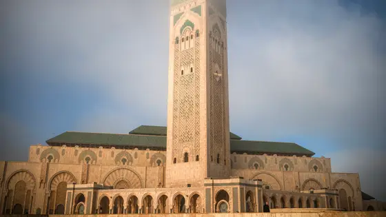
Climb summed after smoothing the heights over 1 km. The edge is this course's height profile on one scale for every race: 250 m above its lowest point fills it. Photo: Hassan II Mosque, by Tinuzzo, CC BY 4.0, via Wikimedia Commons.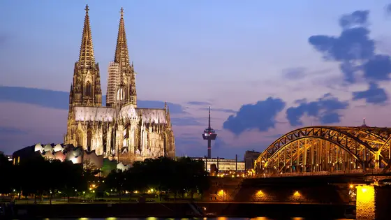
Cologne, Germany
Oct 202742.2 kmClimb 82 m
Climb summed after smoothing the heights over 1 km. The edge is this course's height profile on one scale for every race: 250 m above its lowest point fills it. Photo: Cologne Cathedral, by Jiuguang Wang, CC BY-SA 2.0, via Wikimedia Commons.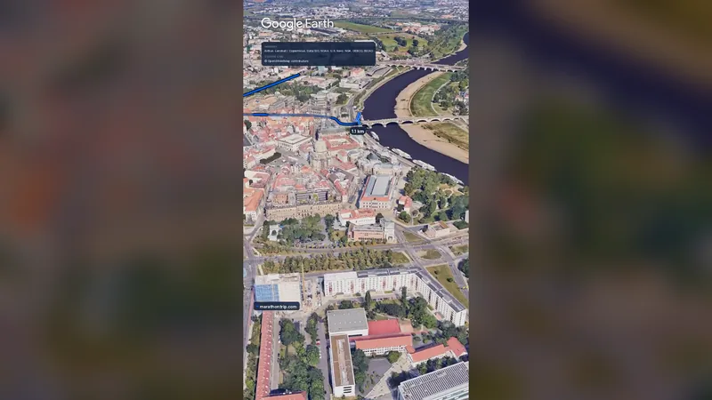 Imagery: Google Earth0:58 film
Dresden, Germany
Oct 202742.2 kmClimb 73 m
Climb summed after smoothing the heights over 1 km. The edge is this course's height profile on one scale for every race: 250 m above its lowest point fills it.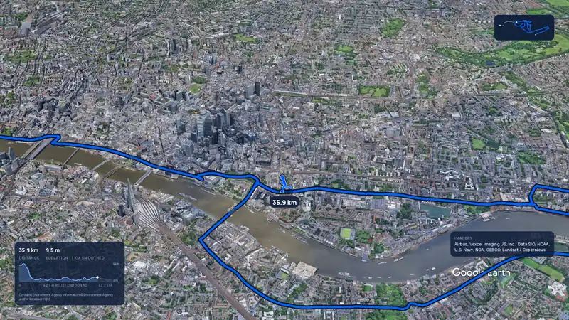 Imagery: Google Earth4:02 film
London, United Kingdom
Sun 25 Apr 202742.2 kmClimb 42 m
Climb summed after smoothing the heights over 1 km. The edge is this course's height profile on one scale for every race: 250 m above its lowest point fills it.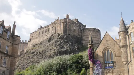
Edinburgh, United Kingdom
Sun 30 May 202742.2 kmClimb 39 m
Climb summed after smoothing the heights over 1 km. The edge is this course's height profile on one scale for every race: 250 m above its lowest point fills it. Photo: Edinburgh Castle, by Stephencdickson, CC BY-SA 4.0, via Wikimedia Commons.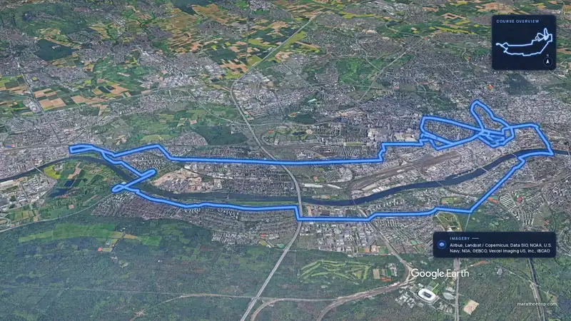 Imagery: Google Earth4:00 filmEntry open
Frankfurt, Germany
Sun 31 Oct 202742.2 kmClimb 44 m
Climb summed after smoothing the heights over 1 km. The edge is this course's height profile on one scale for every race: 250 m above its lowest point fills it.Yes. It has 41.2 m of climbing over 42.2 km. The highest point is 18 m above the lowest.
The 2026 ballot has closed. It opened on 17 September 2026 and closed on 22 September. Entry fee: CN¥200 (for the 2026 race). Entry details on the organiser’s site
Runners have 6 hours to finish.
Yes. A 3D flyover film of the whole course, start to finish (0:59), plays at the top of this page.