
Entry through the organiser
Entry details on the organiser’s site →
Osaka Marathon Foundation, a third party. We take no entries and have no part in the race.
 Marathon Trip
Your trips on every device: sign in, or make a free account when you save one.
Signed in on this browser.
Sign in My marathons Account and dataLocked out? An export link you keep still opens your list in any browser.
No account: email it to me
One email with this trip and a link to open it again. We do not keep the address and send nothing else.
Only a race from our list can be emailed. An account keeps this one.
What we keep, and what we do notCheck your inbox at to confirm it.
Browse the racesEach edition the day it comes out, and nothing else. Off again with one click. How it is kept.
Downhill to km 27, a slow rise of 19 m to km 33, then downhill again to km 36.
© OpenStreetMap contributors
km 0.3mile 0.2
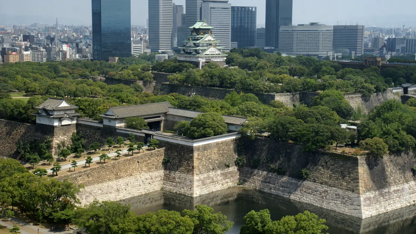
The castle keep sits in the park the course starts beside and finishes in.
Photo: Sakai Yayoi, CC0
km 0.3mile 0.2
The start is on Uemachi-suji at Fucho-minami, in front of the Prefectural Government Office.
Photo: Tokumeigakarinoaoshima, CC0
km 6mile 3.8
The shrine on Tenjinbashi-suji, which the course runs along on the north loop.
Photo: Sakai Yayoi, CC0
km 7.3mile 4.5
The lion-guarded bridge at the east end of Nakanoshima.
Photo: Tokumeigakarinoaoshima, CC0
km 7.9mile 4.9
The red-brick public hall on Nakanoshima, which the course runs past on Nakanoshima-dori.
Photo: Sakai Yayoi, CC0
km 8.4mile 5.2
City Hall on Mido-suji at Yodoyabashi, which the course passes twice.
Photo: Sakai Yayoi, CC0
km 12.1mile 7.5
The canal and neon street of Minami, a block off the course where it runs south on Mido-suji.
Photo: Sakai Yayoi, CC0
km 15.5mile 9.7
The baseball dome, seen across the first turnaround's approach on Route 173.
Photo: thatlostdog--, CC BY 2.0
km 31.1mile 19.3
The tower of Shinsekai, a few hundred metres south of the third turnaround at Tennoji.
Photo: Sakai Yayoi, CC0
km 34.3mile 21.3
Japan's oldest state-founded temple, north of Katsuyama-dori on the way back to the castle.
Photo: Guilhem Vellut from Annecy, France, CC BY 2.0
km 42.2mile 26.2
The finish line on the east side of the castle park at Shiromi, beside Osaka Business Park.
Height drawn many times taller than life. Heights: Fundamental Geospatial Data digital elevation model.
Dashed: bridge

Your 5 gels, at the orange marksFor a 4:00 finish, one every 40 minutes
Get them on AmazonAmazon partner link
Osaka is a coastal-plain city and the marathon stays on the plain. The lowest point is at km 16.7, 0.7 m below sea level, and the highest is at km 33.3, 19.3 m above it: 20 m of relief in the whole course. 90% of the course sits at 5 m or lower.
Added up, the marathon climbs 34.4 m, The course is the one the organiser publishes for 2027.
Measured
The race starts in front of the Osaka Prefectural Government Building, on ground at 16.6 m. That is the highest the road gets in the first 33 km. By km 5 the course reads 3.1 m, a drop of 13.5 m, and from km 5 to km 30 it never goes above 4.5 m: the longest stretch of the marathon is the flattest.
The first 10 km lose 17.8 m and climb 3.4 m in all.
Measured
After 25 km at near sea level the profile finally moves. From 3.4 m at km 30 the road rises 15.9 m to the high point of the course, 19.3 m at km 33.3, then comes back down: 7.3 m at km 35 and 2.5 m at km 37.
It is a rise of about 16 m over 3.3 km, under half a percent on average, and it comes after 30 km on a course that has been flat since km 5. The final 7 km run between 0.4 m and 6.7 m.
Measured
The marathon starts in waves, the first at 9:15, to ease crowding and protect runners. The organiser’s guidelines (in Japanese) say the start blocks are decided by the organiser, “referring to the personal best and predicted time you declared at entry” (自己ベストタイムおよび予想タイムを参考に、競技運営上および安全面の観点から主催者が決定いたします).
A runner who starts ahead of the assigned wave is disqualified (指定されたウェーブより前方からスタートされた場合は、失格となります). The declared best time counts only if it was run at a certified marathon on or after 1 August 2024, and a false declaration can cost the entry. A group entry starts in the block of its slowest member.
Sourced
A flat loop through central Osaka in late February, running out from the prefectural government district and back into the grounds of Osaka Castle for the finish.
The Osaka Marathon is a flat loop of 42.2 km with 34.4 m of climbing. Its lowest point is 1 m below sea level and its highest 19 m above it. Next race: Sunday 28 February 2027, starting at 09:15.
Expo and bib pickup at INTEX Osaka, Hall 6
27 Jul 2026 · 10:0010:00 AM
28 Jul 2026 · 10:0010:00 AM
28 Aug 2026 · 17:005:00 PM
28 Sept 2026
5 Oct 2026 · 17:005:00 PM
19 Oct 2026 · 17:005:00 PM
15 Dec 2026 · 23:5911:59 PM
11:0011:00 AM–19:007:00 PM
11:0011:00 AM–19:307:30 PM
10:0010:00 AM–18:006:00 PM
10:0010:00 AM–18:306:30 PM
09:159:15 AM
until 16:154:15 PM
09:459:45 AM–11:0511:05 AM
10:3010:30 AM–11:0011:00 AM
Times as published by Osaka Marathon Foundation, in Osaka time, checked .
The forecast for Sunday
Add to calendar .ics file, times in Osaka time
Entry through the organiser
Osaka Marathon Foundation, a third party. We take no entries and have no part in the race.
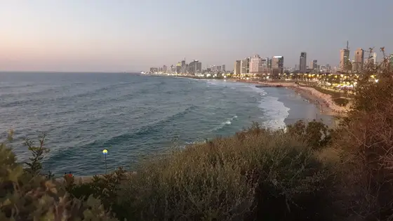
Tel Aviv, Israel
Fri 26 Feb 202742.2 kmClimb 87 m
Climb summed after smoothing the heights over 1 km. The edge is this course's height profile on one scale for every race: 250 m above its lowest point fills it. Photo: Jaffa, by Ariel Manor, CC BY 2.5, via Wikimedia Commons.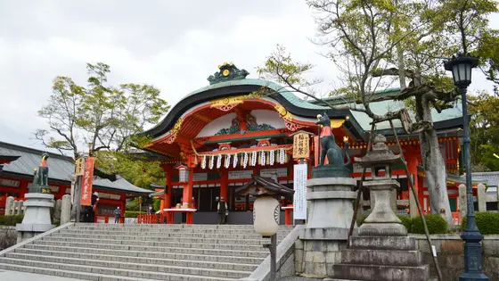 Entry open
Kyoto, Japan
Sun 21 Feb 202742.2 kmClimb 144 m
Climb summed after smoothing the heights over 1 km. The edge is this course's height profile on one scale for every race: 250 m above its lowest point fills it. Photo: Fushimi Inari-taisha, by Saigen Jiro, CC0, via Wikimedia Commons.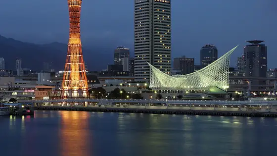
Kobe, Japan
Sun 15 Nov42.2 kmClimb 33 m
Climb summed after smoothing the heights over 1 km. The edge is this course's height profile on one scale for every race: 250 m above its lowest point fills it. Photo: Kobe, by Martin Falbisoner, CC BY-SA 4.0, via Wikimedia Commons.
Bangkok, Thailand
Sun 29 Nov42.2 kmClimb 31 m
Climb summed after smoothing the heights over 1 km. The edge is this course's height profile on one scale for every race: 250 m above its lowest point fills it. Photo: Wat Arun, by Diego Delso, CC BY-SA 3.0, via Wikimedia Commons.
Edinburgh, United Kingdom
Sun 30 May 202742.2 kmClimb 39 m
Climb summed after smoothing the heights over 1 km. The edge is this course's height profile on one scale for every race: 250 m above its lowest point fills it. Photo: Edinburgh Castle, by Stephencdickson, CC BY-SA 4.0, via Wikimedia Commons.Yes. It has 34.4 m of climbing over 42.2 km. The highest point is 20 m above the lowest. It finishes 13 m lower than it starts.
Sunday 28 February 2027. The start is at 09:15.
Entry is through the organiser. Entry fee: JP¥16,000 (US$145 from abroad, for the 2027 race). Entry details on the organiser’s site
Runners have 7 hours to finish. The finish closes at 16:15.
Start: In front of the Osaka Prefectural Government Building.
31,594 runners finished in 2019.