
Entry through the organiser
Entry details on the organiser’s site →
The organiser, a third party. We take no entries and have no part in the race.
 Marathon Trip
Your trips on every device: sign in, or make a free account when you save one.
Signed in on this browser.
Sign in My marathons Account and dataLocked out? An export link you keep still opens your list in any browser.
No account: email it to me
One email with this trip and a link to open it again. We do not keep the address and send nothing else.
Only a race from our list can be emailed. An account keeps this one.
What we keep, and what we do notCheck your inbox at to confirm it.
Browse the racesEach edition the day it comes out, and nothing else. Off again with one click. How it is kept.
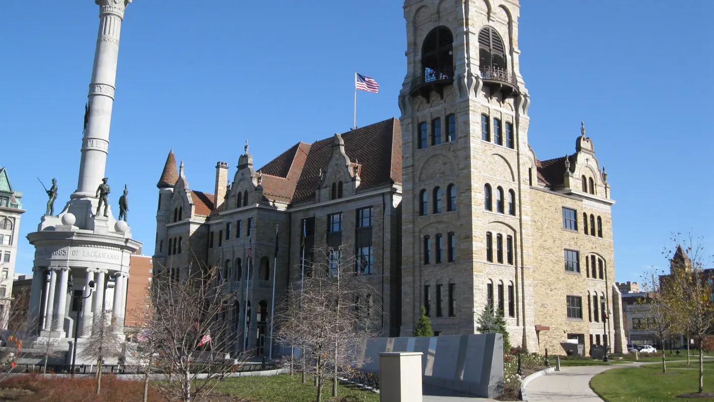
The marathon starts at Forest City High School and finishes on Courthouse Square in Downtown Scranton, and about 80% of runners ride the organiser's buses to the start.
The directions on the organiser’s course page open with “START” at “Forest City High School (FCHS)” and close with “FINISH at Federal Courthouse/Courthouse Square”. The FAQ places the finish “on N. Washington Avenue between Linden Street and Biden Street (formerly Spruce Street) (Courthouse Square)”.
The 2026 schedule has buses boarding in Downtown Scranton from 5:30 a.m., the trip to the starting line taking “approximately 45 minutes”, the last bus leaving at 6:45 a.m. and the marathon starting at 8:00 a.m. The FAQ says “about 80% of all runners take one of our buses to the start” and asks runners not to leave a vehicle at the start: “We will not be providing return transportation to the starting line!” It adds that “All parking meters are free on race day” in Downtown Scranton.
Sourced
The organiser’s homepage gives “955′ Elevation Drop”, about 291 m from Forest City down to Scranton. Its FAQ says: “Although there is a lot of downhill at Steamtown, especially during the first eight miles, there are several challenging uphills in the final three miles.” The course directions flag one steep spot early, “0.95 miles – Turn left onto Dundaff St. (VERY STEEP DOWNHILL)”, and mark the start of Cooper’s Hill at 25.41 miles, with the finish at 26.20 miles.
On pacing, the FAQ reports runners advising “an even split for both halves of the race” and “against trying to bank time”, because going out too fast “will put tremendous strain on your quad muscles”.
Sourced
The rules page has a section headed “Six Hour Time Limit”. It “respectfully requests that you enter only if you are confident that you can finish the course in six hours or less (an approximately 13-minute per mile pace)”. Traffic control, health and safety volunteers and race officials “will vacate the course six hours after the start (2:00 p.m.)”, and “Anyone who continues to run on the course after 2:00 p.m. will be doing so at his/her own risk”. Anyone who finishes after seven hours (3:00 p.m.) “will not be listed in the official race results and may not receive a finisher’s medal”. The 2026 gun is at 8:00 a.m.
Sourced
The organiser’s course page says the marathon “is a USATF-certified event and is an official Boston Marathon qualifier”. The FAQ puts a number on it: “on average, 28% of Steamtown finishers qualify for Boston”, and says that once results are official the race forwards them “directly to Boston’s registration department”.
Sourced
Entry through the organiser
The organiser, a third party. We take no entries and have no part in the race.
More races to look at after the Steamtown Marathon.
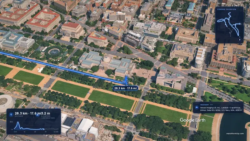 Imagery: Google Earth4:00 film
Washington, D.C., United States
Oct 202742.2 kmClimb 112 m
Climb summed after smoothing the heights over 1 km. The edge is this course's height profile on one scale for every race: 250 m above its lowest point fills it.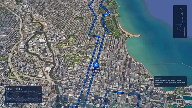 Imagery: Google Earth3:59 filmBallot open
Chicago, United States
Sun 10 Oct 202742.2 kmClimb 20 m
Climb summed after smoothing the heights over 1 km. The edge is this course's height profile on one scale for every race: 250 m above its lowest point fills it.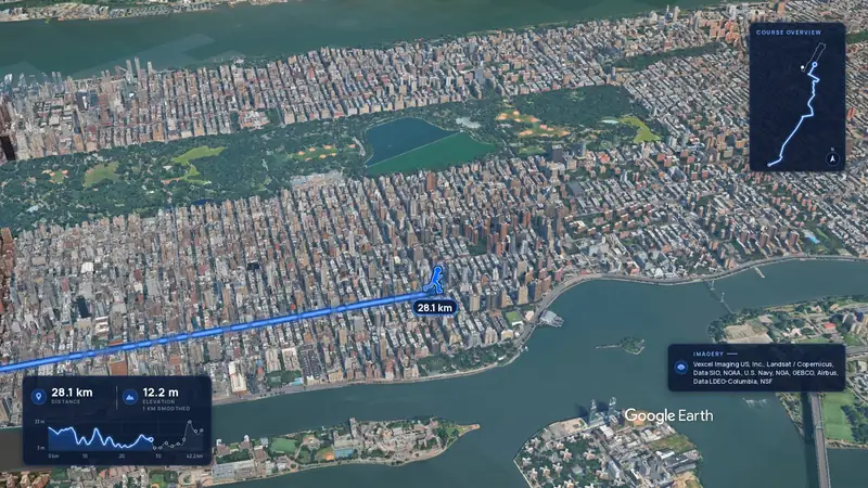 Imagery: Google Earth4:02 film
New York, United States
Nov 202742.2 kmClimb 104 m
Climb summed after smoothing the heights over 1 km. The edge is this course's height profile on one scale for every race: 250 m above its lowest point fills it.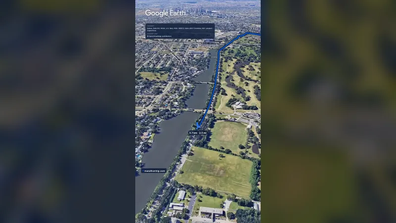 Imagery: Google Earth0:58 film
New Orleans, United States
Sat 14 Nov42.2 kmClimb 15 m
Climb summed after smoothing the heights over 1 km. The edge is this course's height profile on one scale for every race: 250 m above its lowest point fills it.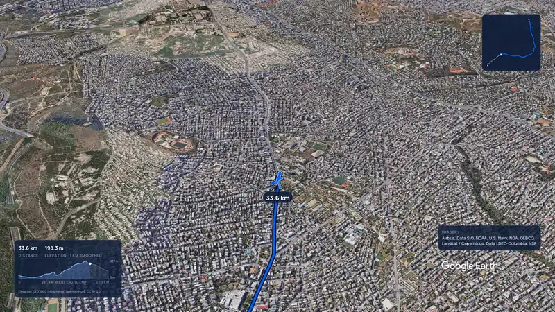 Imagery: Google Earth3:56 filmRace week
Athens, Greece
Sun 8 Nov42.2 kmClimb 281 m
Climb summed after smoothing the heights over 1 km. The edge is this course's height profile on one scale for every race: 250 m above its lowest point fills it.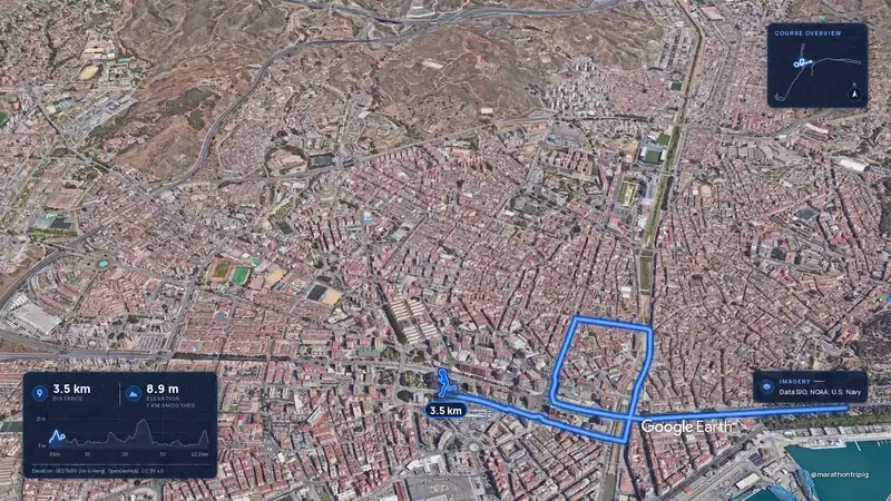 Imagery: Google Earth3:50 filmRace week
Malaga, Spain
Sun 8 Nov42.2 kmClimb 63 m
Climb summed after smoothing the heights over 1 km. The edge is this course's height profile on one scale for every race: 250 m above its lowest point fills it.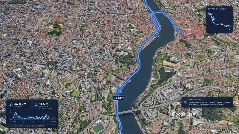 Imagery: Google Earth3:53 filmRace week
Porto, Portugal
Sun 8 Nov42.2 kmClimb 133 m
Climb summed after smoothing the heights over 1 km. The edge is this course's height profile on one scale for every race: 250 m above its lowest point fills it.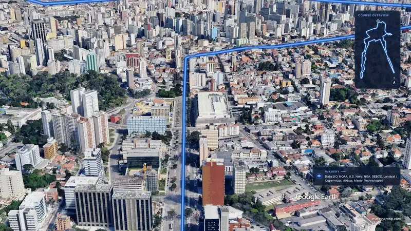 Imagery: Google Earth3:51 filmEntry open
Curitiba, Brazil
Sun 15 Nov42.2 kmClimb 128 m
Climb summed after smoothing the heights over 1 km. The edge is this course's height profile on one scale for every race: 250 m above its lowest point fills it.