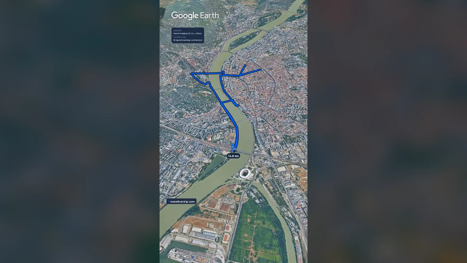
Entry open for the 2027 race As read 17 October 2026.
Past years and every way in
Entry details on the organiser’s site →
Budapest Sportiroda (BSI Sport Kft.), a third party. We take no entries and have no part in the race.
 Marathon Trip
Your trips on every device: sign in, or make a free account when you save one.
Signed in on this browser.
Sign in My marathons Account and dataLocked out? An export link you keep still opens your list in any browser.
No account: email it to me
One email with this trip and a link to open it again. We do not keep the address and send nothing else.
Only a race from our list can be emailed. An account keeps this one.
What we keep, and what we do notCheck your inbox at to confirm it.
Browse the racesEach edition the day it comes out, and nothing else. Off again with one click. How it is kept.
Imagery: Google Earth and its imagery providers
A slow rise of 18 m to km 6, downhill to km 11, then flat home.
© OpenStreetMap contributors
km 2.7mile 1.7
The Liberty Statue on the summit of Gellért Hill was put up in 1947 to a design by Zsigmond Kisfaludi Strobl. The course passes beneath the hill on the Buda lower quay twice, at km 2.7 and km 18.1, 186 m from the statue in plan.
km 3.7mile 2.3
The Várkert Bazár, below the Royal Palace on the Danube side of Castle Hill, was built 1875-1883 to Miklós Ybl's design and reopened restored in 2014.
km 4.9mile 3
The Buda Castle Tunnel runs about 350 m under Castle Hill from Alagút utca to Clark Ádám tér; it was built 1853-1857 by Adam Clark. The course runs through it at km 4.69-5.04 and comes out facing the Chain Bridge: the only stretch of this course a camera above cannot see.
km 5.4mile 3.3
Széchenyi Chain Bridge, opened in 1849, was the first permanent bridge across the Danube in Budapest, designed by William Tierney Clark and built under Adam Clark.
km 8.4mile 5.2
Andrássy út, the boulevard from the centre to Heroes' Square, is part of a UNESCO World Heritage site; the Hungarian State Opera on it, by Miklós Ybl, opened in 1884.
km 12.6mile 7.8
Liberty Bridge opened in 1896 for Hungary's millennium celebrations, as Franz Joseph Bridge.
km 24.6mile 15.3
Árpád Bridge, opened in 1950, carries the course across the Danube's northern arm from Óbuda.
km 28.2mile 17.5
Margaret Island, about 2.5 km long in the middle of the Danube and largely closed to cars, is a public park; its water tower dates from 1911.
km 37.2mile 23.1
The Hungarian Parliament Building, by Imre Steindl, was completed in 1904 and is the largest building in Hungary. The course passes it on the Pest embankment, Id. Antall József rakpart, at km 37.2, heading south for the last 5 km.
km 42.2mile 26.2
Start and finish are on Pázmány Péter sétány, the riverside promenade of ELTE University's Lágymányos campus between Petőfi and Rákóczi bridges; the finish line is 45 m north of the start line.
Height drawn many times taller than life. Heights: GEDTM30.
Tall ticks: food short: water dashed: bridge

Your 5 gels, at the orange marksFor a 4:00 finish, one every 40 minutes
Get them on AmazonAmazon partner link
The marathon starts at river level on Pázmány Péter Promenade and runs the Buda lower quay north for the first three kilometres, where the road is at 101 to 103 m. Then the organiser’s route list turns it up: “Castle Garden Quay – Ybl Miklós Square – Apród Street – Attila Road”.
From about 102 m at km 3.2 the road climbs to 118 m at km 4.3, about 16 m in 1.1 km. It is the largest rise of the race in any kilometre. The organiser puts the first refreshment station at km 4.1 (“Attila út, at Dózsa György tér”), so the first drink comes right at the top of it.
After Attila Road the route goes by Alagút Street to Clark Ádám Square and the Chain Bridge, and the road eases back to about 110 m by km 5.1.
Measured
Across the whole marathon the road runs from a low of 98.6 m at km 19.0 to a high of 120.5 m at km 6.1, 21.9 m of relief, with about 75 m of climbing in all. All of the height is in the first 10 km: the climb at km 3 to 4, then a plateau of 115 to 120 m on the Pest side between km 6 and km 9.5, which falls about 16 m to the river by km 10.7.
From the Pest lower quay at km 10.7 the course is on the water for good. The organiser’s route list for the rest of the race reads “Pest Lower Quay – Közraktár Street – Fővám Square – Liberty Bridge”, then “University Quay” back to the start, and later “Buda Lower Quay”, “Árpád Bridge”, “Margitsziget”, “Népfürdő Street” and the Pest lower quay again. In all of that the road stays between 98.6 m and 108.2 m, and the last 10 km read between 99 and 108 m.
Measured
The organiser’s route list spells the turns out in capitals: “TURNAROUND (at Hajós Street)” on Bajcsy-Zsilinszky Road, “TURNAROUND (in front of Oktogon)” on Andrássy Avenue, “TURNAROUND (before the entrance to Lágymányosi Bridge)” on Dombóvári Road, “TURNAROUND (after Cserhalom Street)” on Vizafogó Street, and a last “TURNAROUND” on the Pest lower quay. The first two are at about km 7.2 and km 8.8, the Dombóvári Road turn at about km 15.2.
The Liberty Bridge comes up twice in the same list, each time followed by “St. Gellért Square” and “University Quay”: about km 12.4 on the first pass and km 40.4 on the second. Between the two, the course passes Pázmány Péter Promenade, where it started, at about km 13.8 and again at the finish.
Measured
Past halfway the course leaves the Buda side by the Árpád fejedelem útja and Serfőző Street, then takes the bridge. The organiser’s route list reads “Árpád Bridge (south side, two traffic lanes) – Margitsziget Schulek Frigyes Promenade – Hajós Alfréd Promenade – Kertmozi Road – Margitsziget Schulek Frigyes Promenade – Árpád Bridge (south side, two traffic lanes)”.
That is the same bridge both ways, once out to the island at km 24.75 and once back at km 29.1, with the island leg between them, from about km 25.4 to km 29.1. The road lies between 104.6 and 107.4 m along it. The organiser puts a refreshment station on the island, at km 28.3 on Schulek Frigyes Promenade.
Measured
km 4.1mile 2.5
water, toiletsAttila út, at Dózsa György tér.
km 7.8mile 4.8
water, sports drink, food, toiletsAndrássy Avenue, after Bajcsy-Zsilinszky út. Bananas, glucose tablets and lemons.
km 11.3mile 7
water, sports drink, food, toiletsPest lower quay, by the Mahart ship terminal. Salt tablets, bananas, glucose tablets and lemons.
km 14.5mile 9
water, sports drink, food, toiletsPázmány Péter Promenade, after Magyar Tudósok körútja. Bananas, glucose tablets and lemons.
km 18.6mile 11.6
water, sports drink, food, toiletsFriedrich Born Quay, after Elisabeth Bridge. Bananas, glucose tablets and lemons.
km 22.7mile 14.1
water, sports drink, food, toiletsÁrpád fejedelem útja, at Dara utca. Salt tablets, bananas, glucose tablets and lemons.
km 24.1mile 15
water, toiletsÁrpád fejedelem útja, after Tímár utca.
km 28.3mile 17.6
water, sports drink, food, toiletsMargaret Island, Schulek Frigyes Promenade. Bananas, glucose tablets and lemons.
km 31.8mile 19.8
water, sports drink, food, toiletsNépfürdő utca, after the Duna Aréna. Salt tablets, bananas, glucose tablets, lemons, magnesium, calcium and Pepsi.
km 34.9mile 21.7
water, sports drink, food, toiletsJászai Mari tér. Bananas, glucose tablets, lemons, magnesium, calcium and Pepsi.
km 39.3mile 24.4
water, sports drink, food, toiletsPest lower quay, by the Mahart ship terminal. Bananas, glucose tablets, lemons, magnesium, calcium and Pepsi.
km 40.9mile 25.4
water, toiletsMűegyetem rakpart, by the BME building.
Read on marathon.runinbudapest.com, 42-km-spar-budapest-marathon.
Checked, against the organiser’s own pages.
Two rounds on both banks of the Danube: over the Chain Bridge and up Andrássy Avenue, back past the start, then north to Óbuda and Margaret Island and home down the Pest quay to the finish in Buda.
The Budapest Marathon is a loop of 42.2 km with 75.3 m of climbing. Its lowest point is 99 m and its highest 120 m above sea level. Next race: Sunday 10 October 2027.
Entry open for the 2027 race As read 17 October 2026.
Budapest Sportiroda (BSI Sport Kft.), a third party. We take no entries and have no part in the race.
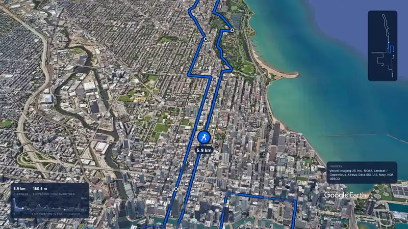 Imagery: Google Earth3:59 filmBallot open
Chicago, United States
Sun 10 Oct 202742.2 kmClimb 20 m
Climb summed after smoothing the heights over 1 km. The edge is this course's height profile on one scale for every race: 250 m above its lowest point fills it.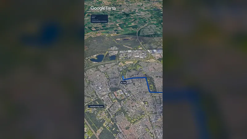 Imagery: Google Earth0:58 film
Eindhoven, Netherlands
Sun 10 Oct 202742.2 kmClimb 17 m
Climb summed after smoothing the heights over 1 km. The edge is this course's height profile on one scale for every race: 250 m above its lowest point fills it.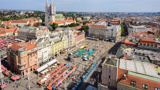
Zagreb, Croatia
Oct 202742.2 kmClimb 104 m
Climb summed after smoothing the heights over 1 km. The edge is this course's height profile on one scale for every race: 250 m above its lowest point fills it. Photo: Ban Jelačić Square, by Nick Savchenko from Kiev, Ukraine, CC BY-SA 2.0, via Wikimedia Commons.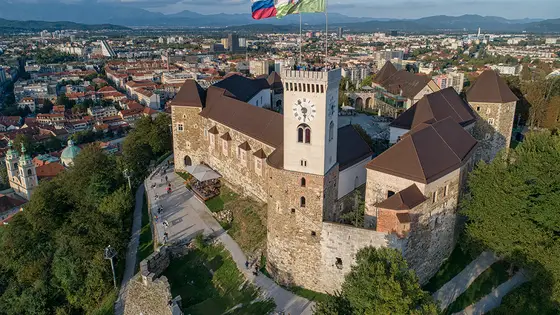
Ljubljana, Slovenia
Sun 17 Oct 202742.2 kmClimb 70 m
Climb summed after smoothing the heights over 1 km. The edge is this course's height profile on one scale for every race: 250 m above its lowest point fills it. Photo: Ljubljana Castle, by LjGrad, CC BY-SA 4.0, via Wikimedia Commons.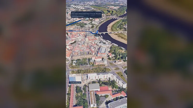 Imagery: Google Earth0:58 film
Dresden, Germany
Oct 202742.2 kmClimb 73 m
Climb summed after smoothing the heights over 1 km. The edge is this course's height profile on one scale for every race: 250 m above its lowest point fills it.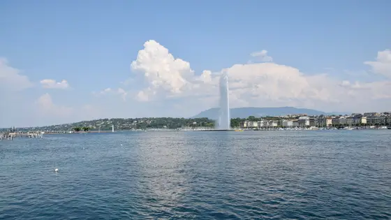
Geneva, Switzerland
Sun 9 May 202742.2 kmClimb 79 m
Climb summed after smoothing the heights over 1 km. The edge is this course's height profile on one scale for every race: 250 m above its lowest point fills it. Photo: Jet d'Eau, by Ank Kumar, CC BY-SA 4.0, via Wikimedia Commons.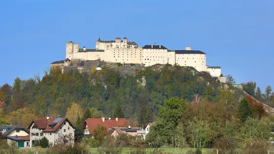
Salzburg, Austria
Sun 23 May 202742.2 kmClimb 79 m
Climb summed after smoothing the heights over 1 km. The edge is this course's height profile on one scale for every race: 250 m above its lowest point fills it. Photo: Hohensalzburg Fortress, by C.Stadler/Bwag, CC BY-SA 4.0, via Wikimedia Commons.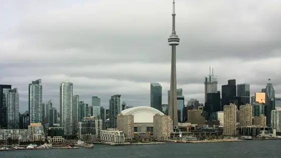
Toronto, Canada
Sun 17 Oct 202742.2 kmClimb 80 m
Climb summed after smoothing the heights over 1 km. The edge is this course's height profile on one scale for every race: 250 m above its lowest point fills it. Photo: CN Tower, by ImagePerson, CC BY 4.0, via Wikimedia Commons.Not entirely. It has 75.3 m of climbing over 42.2 km. The highest point is 22 m above the lowest.
Sunday 10 October 2027.
Entry for the 2027 race is open. It opened on 14 October 2026. Entry fee: €95 (for the 2027 race). Entry details on the organiser’s site
Runners have 5 h 30 min to finish.
7,406 runners finished in 2026.
Yes. A 3D flyover film of the whole course, start to finish (0:58), plays at the top of this page.