
Entry through the organiser
Entry details on the organiser’s site →
The organiser, a third party. We take no entries and have no part in the race.
 Marathon Trip
Your trips on every device: sign in, or make a free account when you save one.
Signed in on this browser.
Sign in My marathons Account and dataLocked out? An export link you keep still opens your list in any browser.
No account: email it to me
One email with this trip and a link to open it again. We do not keep the address and send nothing else.
Only a race from our list can be emailed. An account keeps this one.
What we keep, and what we do notCheck your inbox at to confirm it.
Browse the racesEach edition the day it comes out, and nothing else. Off again with one click. How it is kept.
Flat from start to finish: 9 m between the lowest and the highest point.
© OpenStreetMap contributors
km 36.8mile 22.9
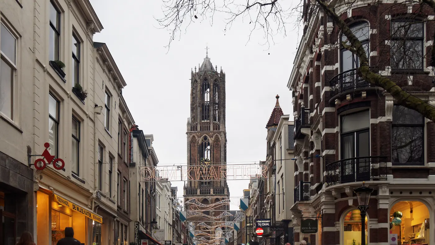
The course passes the Dom Tower in the historic city centre, at about 36.8 km.
Photo: Massimo Catarinella, CC BY 3.0
Height drawn many times taller than life. Heights: GEDTM30.
Dashed: bridge

Your 5 gels, at the orange marksFor a 4:00 finish, one every 40 minutes
Get them on AmazonAmazon partner link
The lowest point is at km 26.2, 0.7 m above sea level. The highest is 9.8 m, at km 36.8, which is also where the course passes the Dom Tower in the city centre. Nine tenths of the course is at 5 m or lower.
In all the marathon climbs 25.9 m. A watch on the day will count more small rises than that, from bridges and underpasses. These figures are for the 2026 course.
Measured
The organiser describes the race as running along the highlights of the “Domstad” and through the historic city centre. On the 2026 course the road passes within 30 m of the Dom Tower at 36.8 km, which leaves 5.4 km to the finish at the Utrecht Science Park.
Measured
The organiser puts the start and the finish of the HiPRO Utrecht Marathon on the Utrecht Science Park. The start is at P4 Aarhuslaan and the finish is on Sorbonnelaan, with the event area at car park P6 Padualaan. Bib collection and the help desk are at the car park at Padualaan 99. The marathon uses start waves, each lasting about ten minutes, and aid stations give drinks in cups; gel is handed out at 26 km and 33 km.
Sourced
The Utrecht Marathon is a flat course of 42.2 km with 25.9 m of climbing. Its lowest point is 1 m and its highest 10 m above sea level.
Entry through the organiser
The organiser, a third party. We take no entries and have no part in the race.
More races to look at after the Utrecht Marathon.
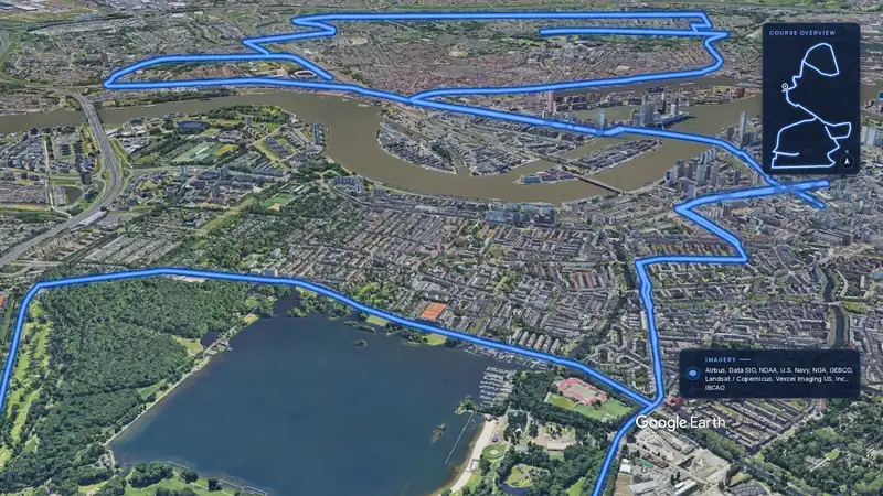 Imagery: Google Earth3:55 film
Rotterdam, Netherlands
Sun 11 Apr 202742.2 kmClimb 28 m
Climb summed after smoothing the heights over 1 km. The edge is this course's height profile on one scale for every race: 250 m above its lowest point fills it.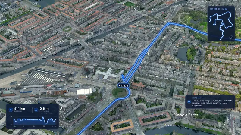 Imagery: Google Earth3:49 film
Amsterdam, Netherlands
Sun 31 Oct 202742.2 kmClimb 22 m
Climb summed after smoothing the heights over 1 km. The edge is this course's height profile on one scale for every race: 250 m above its lowest point fills it.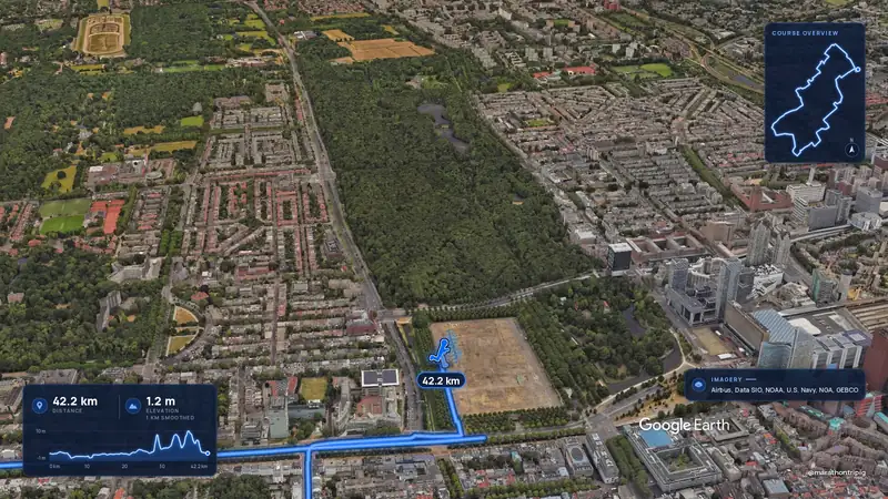 Imagery: Google Earth3:02 film
The Hague, Netherlands
Nov 202742.2 kmClimb 28 m
Climb summed after smoothing the heights over 1 km. The edge is this course's height profile on one scale for every race: 250 m above its lowest point fills it.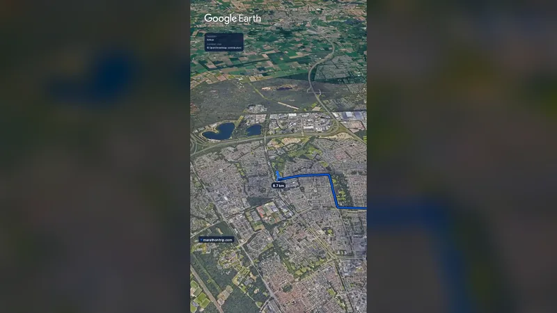 Imagery: Google Earth0:58 film
Eindhoven, Netherlands
Sun 10 Oct 202742.2 kmClimb 17 m
Climb summed after smoothing the heights over 1 km. The edge is this course's height profile on one scale for every race: 250 m above its lowest point fills it.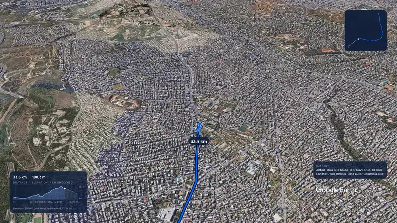 Imagery: Google Earth3:56 filmRace week
Athens, Greece
Sun 8 Nov42.2 kmClimb 281 m
Climb summed after smoothing the heights over 1 km. The edge is this course's height profile on one scale for every race: 250 m above its lowest point fills it.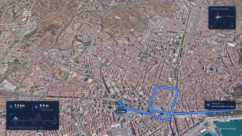 Imagery: Google Earth3:50 filmRace week
Malaga, Spain
Sun 8 Nov42.2 kmClimb 63 m
Climb summed after smoothing the heights over 1 km. The edge is this course's height profile on one scale for every race: 250 m above its lowest point fills it.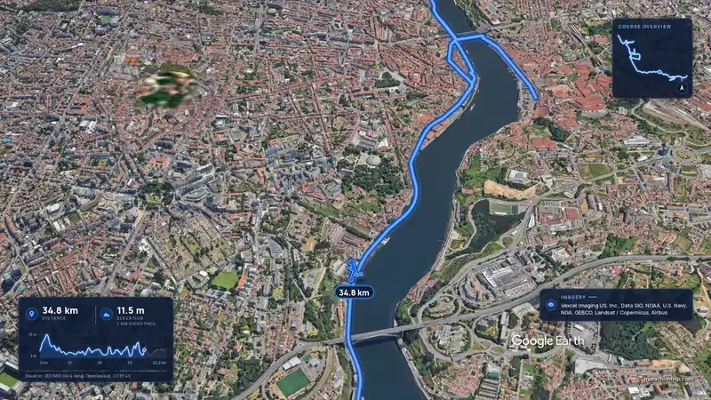 Imagery: Google Earth3:53 filmRace week
Porto, Portugal
Sun 8 Nov42.2 kmClimb 133 m
Climb summed after smoothing the heights over 1 km. The edge is this course's height profile on one scale for every race: 250 m above its lowest point fills it.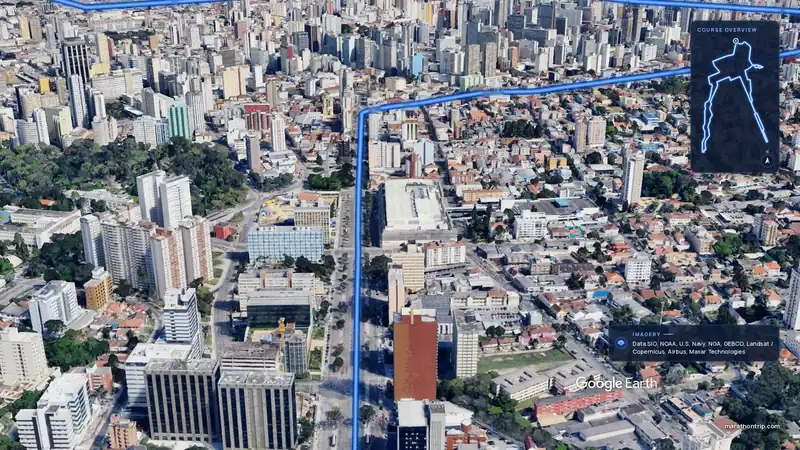 Imagery: Google Earth3:51 filmEntry open
Curitiba, Brazil
Sun 15 Nov42.2 kmClimb 128 m
Climb summed after smoothing the heights over 1 km. The edge is this course's height profile on one scale for every race: 250 m above its lowest point fills it.