
Entry through the organiser
Entry details on the organiser’s site →
The organiser, a third party. We take no entries and have no part in the race.
 Marathon Trip
Your trips on every device: sign in, or make a free account when you save one.
Signed in on this browser.
Sign in My marathons Account and dataLocked out? An export link you keep still opens your list in any browser.
No account: email it to me
One email with this trip and a link to open it again. We do not keep the address and send nothing else.
Only a race from our list can be emailed. An account keeps this one.
What we keep, and what we do notCheck your inbox at to confirm it.
Browse the racesEach edition the day it comes out, and nothing else. Off again with one click. How it is kept.
A slow rise of 16 m from km 3 to km 7, a climb of 15 m from km 24 to km 27, then downhill to km 40.
© OpenStreetMap contributors
km 0mile 0
The start is on the Salzach's Staatsbruecke; the line opens on its west end.
Photo: Eweht, CC0
km 0.3mile 0.2
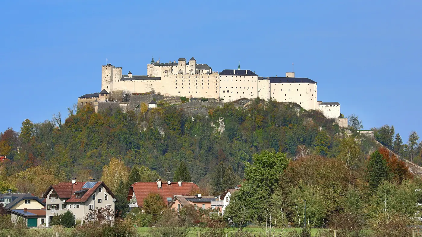
Seen across the old town in the first kilometre, 218 m from the line.
Photo: Flocci Nivis, CC BY 4.0
km 1mile 0.6
Above the old town; 396 m from the line at its nearest.
Photo: Jakub Hałun, CC BY 4.0
km 6.2mile 3.9
The turn of the course in the south, 72 m from the line.
Photo: Jakub Hałun, CC BY 4.0
km 11.8mile 7.4
Photo: Maxx82, CC BY 2.5
km 19.1mile 11.9
The Salzach crossing at the top of the loop, on the line.
Photo: Eweht, Public domain
km 20.1mile 12.5
The course runs along Mirabellplatz at the palace, 86 m from the line.
Photo: -wuppertaler, CC BY 4.0
km 41.8mile 26
On Getreidegasse, in the closing 400 m, 19 m from the line.
Photo: Hiroki Ogawa, CC BY 3.0
km 42.2mile 26.2
The finish is on Max-Reinhardt-Platz beside the Festival Hall, 104 m from the line's last vertex.
Photo: Photo: Andreas Praefcke, CC BY 3.0
Height drawn many times taller than life. Heights: GEDTM30.
Dashed: bridge

Your 5 gels, at the orange marksFor a 4:00 finish, one every 40 minutes
Get them on AmazonAmazon partner link
The 24th edition starts on the Staatsbrücke “with a wonderful view of the classic old town”. The organiser describes the finish limit and the course in the same breath: the marathon finish line is 5:45 hours, and “if this goal is in danger, you can run to the half-marathon finish after the first lap” and be ranked in the half marathon. That makes the course two laps of one loop, so a spectator in the old town can see the same runner twice. The route map on the organiser’s page is the 2026 one; the 2027 map is announced as coming soon.
Sourced
The organiser calls it “this flat and beautiful route through Mozart’s city” and gives “9 m maximum difference in height”. The elevation profile along the course is a little wider than that: 418.9 m at the lowest point, about km 19.1, to 437.8 m at the highest, about km 27.4, a spread of 18.9 m. Either way the road never asks for more than a gentle swell. The start sits at 422.3 m and the finish at 430.0 m, 7.7 m higher, and both laps cover much the same ground, between about 419 and 438 m.
In total the course climbs 79.3 m, about 1.9 m per kilometre, spread over two laps in small steps.
Measured
The 2027 marathon starts at 08:30 in several waves, with the starting block chosen at registration; it “should correspond to your expected performance”. A finish limit of 5:45 hours works out at about 8:10 per kilometre. The page does not say whether it is counted from the gun or from the mat. The organiser’s own advice for a day that is going slowly is to cross to the half-marathon finish after the first lap, in which case the result goes into the half-marathon ranking automatically.
Sourced
A point-to-point run through Mozart's old town, starting at the Staatsbrücke over the Salzach and finishing at Max-Reinhardt-Platz beneath the fortress.
The Salzburg Marathon is a point-to-point course of 42.2 km with 79.3 m of climbing. Its lowest point is 419 m and its highest 438 m above sea level. Next race: Sunday 23 May 2027, starting at 08:30.
Bib pickup at Volksgarten ice arena, Hermann-Bahr-Promenade 2
13:001:00 PM–19:007:00 PM
10:0010:00 AM–19:007:00 PM
08:308:30 AM
Time not published
Times as published by the organiser, in Salzburg time, checked .
The forecast for Sunday
Add to calendar .ics file, times in Salzburg time
Entry through the organiser
The organiser, a third party. We take no entries and have no part in the race.
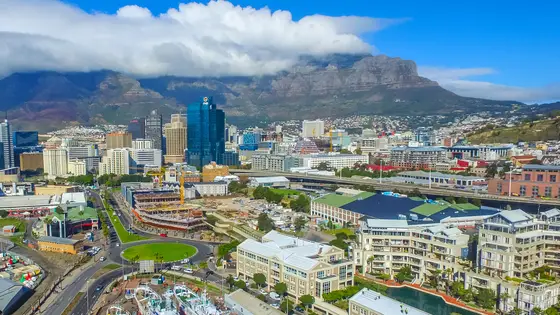
Cape Town, South Africa
Sun 23 May 202742.2 kmClimb 116 m
Climb summed after smoothing the heights over 1 km. The edge is this course's height profile on one scale for every race: 250 m above its lowest point fills it. Photo: Cape Town, by SkyPixels, CC BY-SA 4.0, via Wikimedia Commons.
Prague, Czechia
Sun 2 May 202742.2 kmClimb 98 m
Climb summed after smoothing the heights over 1 km. The edge is this course's height profile on one scale for every race: 250 m above its lowest point fills it. Photo: Charles Bridge, by Dietmar Rabich, CC BY-SA 4.0, via Wikimedia Commons.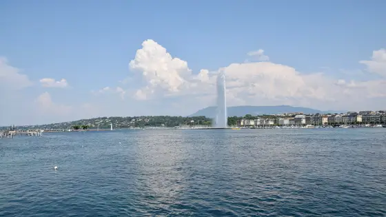
Geneva, Switzerland
Sun 9 May 202742.2 kmClimb 79 m
Climb summed after smoothing the heights over 1 km. The edge is this course's height profile on one scale for every race: 250 m above its lowest point fills it. Photo: Jet d'Eau, by Ank Kumar, CC BY-SA 4.0, via Wikimedia Commons.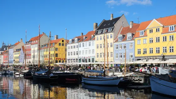
Copenhagen, Denmark
Sun 9 May 202742.2 kmClimb 69 m
Climb summed after smoothing the heights over 1 km. The edge is this course's height profile on one scale for every race: 250 m above its lowest point fills it. Photo: Nyhavn, by kallerna, CC BY-SA 4.0, via Wikimedia Commons.
Toronto, Canada
Sun 17 Oct 202742.2 kmClimb 80 m
Climb summed after smoothing the heights over 1 km. The edge is this course's height profile on one scale for every race: 250 m above its lowest point fills it. Photo: CN Tower, by ImagePerson, CC BY 4.0, via Wikimedia Commons.
Lisbon, Portugal
Oct 202742.2 kmClimb 81 m
Climb summed after smoothing the heights over 1 km. The edge is this course's height profile on one scale for every race: 250 m above its lowest point fills it. Photo: 25 de Abril Bridge, by Mike, CC BY 3.0, via Wikimedia Commons.
Cologne, Germany
Oct 202742.2 kmClimb 82 m
Climb summed after smoothing the heights over 1 km. The edge is this course's height profile on one scale for every race: 250 m above its lowest point fills it. Photo: Cologne Cathedral, by Jiuguang Wang, CC BY-SA 2.0, via Wikimedia Commons.Not entirely. It has 79.3 m of climbing over 42.2 km. The highest point is 19 m above the lowest.
Sunday 23 May 2027. The start is at 08:30.
Entry is through the organiser. Entry fee: €95 (for the 2027 race). Entry details on the organiser’s site
Runners have 5 h 45 min to finish.
Start: Staatsbrücke.