
Entry through the organiser
Entry details on the organiser’s site →
Gestev, a third party. We take no entries and have no part in the race.
 Marathon Trip
Your trips on every device: sign in, or make a free account when you save one.
Signed in on this browser.
Sign in My marathons Account and dataLocked out? An export link you keep still opens your list in any browser.
No account: email it to me
One email with this trip and a link to open it again. We do not keep the address and send nothing else.
Only a race from our list can be emailed. An account keeps this one.
What we keep, and what we do notCheck your inbox at to confirm it.
Browse the racesEach edition the day it comes out, and nothing else. Off again with one click. How it is kept.
A climb of 81 m to km 16, downhill to km 26, then flat home.
© OpenStreetMap contributors
km 0mile 0
The race starts and finishes by Place Jean-Béliveau, the square in front of the Centre Vidéotron.
Photo: Wilfredor, CC0
km 12.4mile 7.7
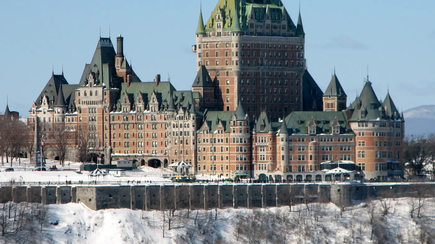
The route passes the Château Frontenac at about 12.5 km, between Rue des Remparts and Rue Saint-Louis.
Photo: Wilfredor, CC0
km 13mile 8.1
The route leaves the walled old town through Porte Saint-Louis on Rue Saint-Louis, at about 13 km.
km 14.4mile 9
The route crosses the Plains of Abraham on Avenue Ontario between about 13.5 and 16 km.
Photo: Wilfredor, CC0
km 17.1mile 10.6
The route passes the park on Grande Allée at about 17 km, just before it turns onto Chemin Saint-Louis.
Photo: Wilfredor, CC0
km 25.6mile 15.9
The route turns back by the Quai des Cageux at about 25.5 km, then follows the river towards the city.
km 34.1mile 21.2
The route runs below the Citadelle on the riverside at about 34 km.
km 34.8mile 21.6
The route passes below Place Royale in the Lower Town at about 35 km.
Photo: Wilfredor, CC0
Height drawn many times taller than life. Heights: GEDTM30.
Dashed: bridge upright dashes: cut-offs

Your 5 gels, at the orange marksFor a 4:00 finish, one every 40 minutes
Get them on AmazonAmazon partner link
The first 11 km stay low, on streets either side of the Rivière Saint-Charles and the paths along its banks. Then the route turns uphill on Côte de la Canoterie and climbs through the walled town to Porte Saint-Louis, about 71 m in 2 km. The high ground carries on across the Plains of Abraham and out along Grande Allée and Chemin Saint-Louis to Sillery, and the drop back to the St. Lawrence comes at about 25 km. From there the course runs low, along the St. Lawrence, back up the Saint-Charles and through Limoilou to the finish.
Measured
The 2026 course crossed three boroughs and nine neighbourhoods of the city. Certification by Athletics Canada means the distance is measured to international standards, so a time run here can be used to qualify for other marathons, Boston among them. The 2026 edition also held the Quebec championships over the distance.
Sourced
At a traffic box, officers on site guide runners onto an alternate section so that vehicles can cross the course. The detour is the same length as the stretch it replaces, so the total distance does not change. The three 2026 locations were the Quai Saint-André, 1st Avenue across from 10th Street and 18th Street.
Sourced
With the gun at 08:00, the first checkpoint at 16 km closed 2 hours 25 minutes later and the last, at 39 km, 5 hours 55 minutes later. A runner who missed one was out of the race.
Sourced
A city marathon that starts and finishes at Place Jean-Béliveau in Limoilou and crosses three boroughs and nine neighbourhoods of Quebec City, with the old walled town on the route.
The Quebec City Marathon is a hilly loop of 42.2 km with 161.6 m of climbing. Its lowest point is 4 m and its highest 89 m above sea level.
Entry through the organiser
Gestev, a third party. We take no entries and have no part in the race.
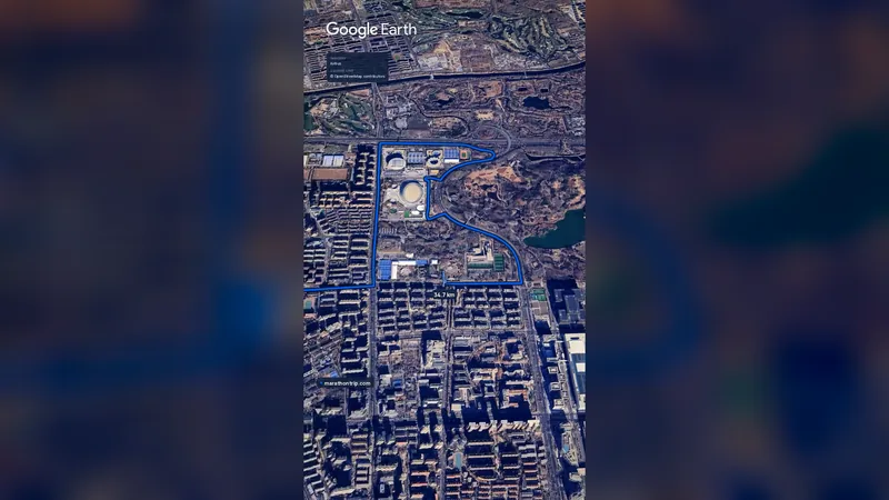 Imagery: Google Earth0:59 film
Beijing, China
Oct 202742.2 kmClimb 41 m
Climb summed after smoothing the heights over 1 km. The edge is this course's height profile on one scale for every race: 250 m above its lowest point fills it.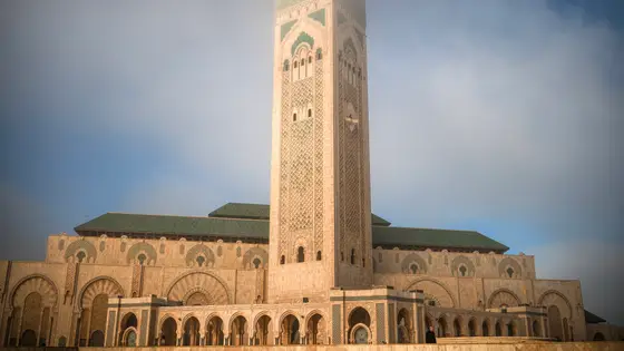
Casablanca, Morocco
Oct 202742.2 kmClimb 119 m
Climb summed after smoothing the heights over 1 km. The edge is this course's height profile on one scale for every race: 250 m above its lowest point fills it. Photo: Hassan II Mosque, by Tinuzzo, CC BY 4.0, via Wikimedia Commons.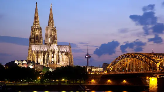
Cologne, Germany
Oct 202742.2 kmClimb 82 m
Climb summed after smoothing the heights over 1 km. The edge is this course's height profile on one scale for every race: 250 m above its lowest point fills it. Photo: Cologne Cathedral, by Jiuguang Wang, CC BY-SA 2.0, via Wikimedia Commons.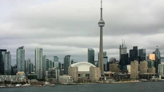
Toronto, Canada
Sun 17 Oct 202742.2 kmClimb 80 m
Climb summed after smoothing the heights over 1 km. The edge is this course's height profile on one scale for every race: 250 m above its lowest point fills it. Photo: CN Tower, by ImagePerson, CC BY 4.0, via Wikimedia Commons.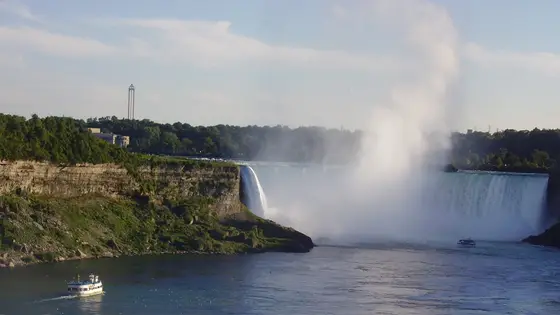
Niagara Falls, Canada
Oct 202742.2 km
Photo: Horseshoe Falls, by Leslie (Wikimedia Commons), CC BY-SA 2.5, via Wikimedia Commons.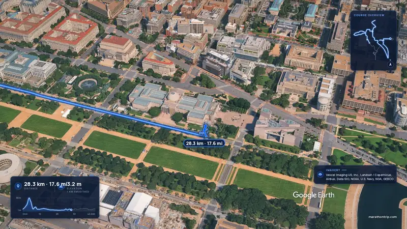 Imagery: Google Earth4:00 film
Washington, D.C., United States
Oct 202742.2 kmClimb 112 m
Climb summed after smoothing the heights over 1 km. The edge is this course's height profile on one scale for every race: 250 m above its lowest point fills it.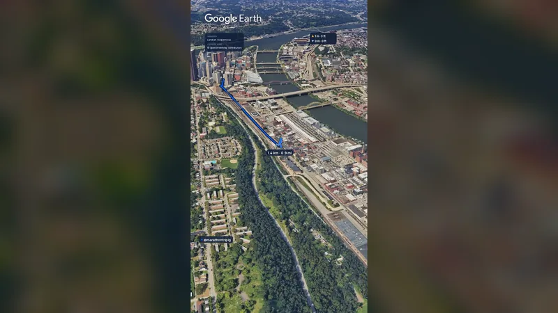 Imagery: Google Earth2:01 film
Pittsburgh, United States
Sun 2 May 202742.2 kmClimb 151 m
Climb summed after smoothing the heights over 1 km. The edge is this course's height profile on one scale for every race: 250 m above its lowest point fills it.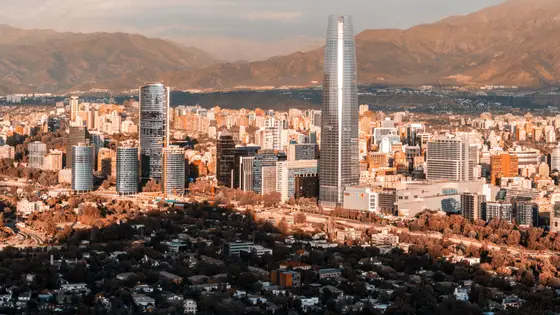
Santiago, Chile
Sun 16 May 202742.2 kmClimb 173 m
Climb summed after smoothing the heights over 1 km. The edge is this course's height profile on one scale for every race: 250 m above its lowest point fills it. Photo: Santiago, by Omnespsx ( D • ES ), CC BY-SA 4.0, via Wikimedia Commons.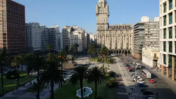
Montevideo, Uruguay
May 202742.2 kmClimb 149 m
Climb summed after smoothing the heights over 1 km. The edge is this course's height profile on one scale for every race: 250 m above its lowest point fills it. Photo: Palacio Salvo, by Mx. Granger, CC0, via Wikimedia Commons.No, it is a hilly course: 161.6 m of climbing over 42.2 km. The highest point is 85 m above the lowest.
Entry is through the organiser. Entry fee: CA$140 (for the 2027 race). Entry details on the organiser’s site
Runners have 6 hours to finish.