
Entry through the organiser
Entry details on the organiser’s site →
The organiser, a third party. We take no entries and have no part in the race.
 Marathon Trip
Your trips on every device: sign in, or make a free account when you save one.
Signed in on this browser.
Sign in My marathons Account and dataLocked out? An export link you keep still opens your list in any browser.
No account: email it to me
One email with this trip and a link to open it again. We do not keep the address and send nothing else.
Only a race from our list can be emailed. An account keeps this one.
What we keep, and what we do notCheck your inbox at to confirm it.
Browse the racesEach edition the day it comes out, and nothing else. Off again with one click. How it is kept.
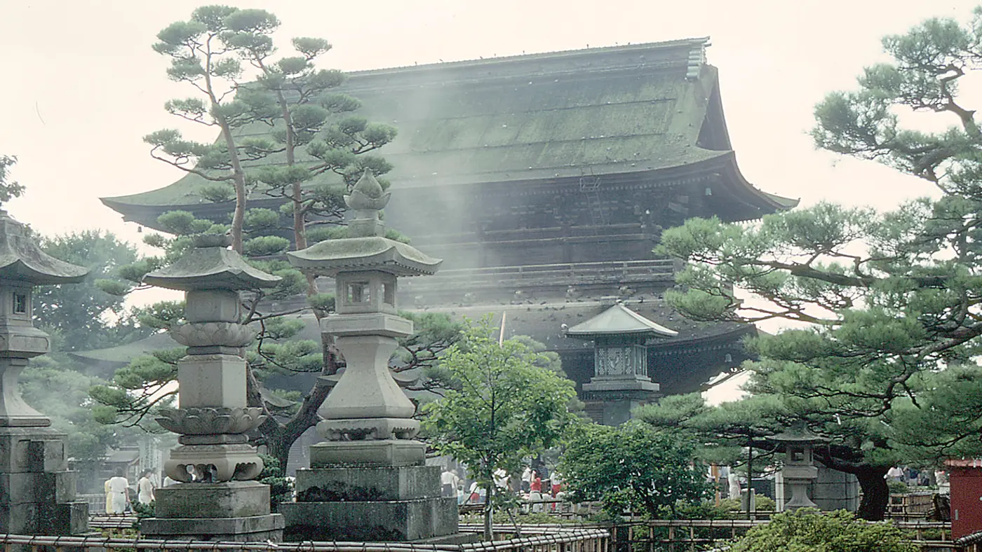
The organiser puts the highest point at 383 m by the Zenko-ji approach and the lowest at 340 m, a 43 m span, and says the race is decided after 30 km, where an up-and-down stretch called the two-humped camel comes before the dyke road.
The course tips page calls the course “relatively flat”: the highest point is 383 m at the Daimon intersection in front of Zenko-ji, the lowest 340 m, so 43 m of height difference. It says the race is decided after 30 km and advises holding back in the first half. Between the 30 km point and the Nakamichijima intersection comes the “two-humped camel” (futakobu rakuda), an up and down stretch, and then the runners return to the dyke road with the spring fields and the Northern Alps still holding snow in view. The page also warns that the last 4 km on the dyke road suffer in a strong wind.
Sourced
The organiser’s description runs as follows. After the start at Nagano Sports Park the course turns onto Route 19 heading west, passes Nagano City Hall and reaches the 5 km point on Nagano Odori. A left turn and a climb lead to the high point at Daimon intersection in front of Zenko-ji, and then onto Chuo-dori, 700 m of 6 m wide stone paving that is downhill and narrow, where the organiser expects crowding. After 10 km the course heads east past Big Hat to the Sai river dyke, turns near the M-Wave, the speed skating venue of the 1998 Olympics, and passes the White Ring at 25 km. It then follows the Chikuma river dyke past the Matsushiro bridge and finishes in the Nagano Olympic Stadium at Shinonoi.
Sourced
The race starts at Nagano Sports Park at 8:30 and must be finished within five hours, with nine cut-off gates, in principle one every 5 km. General entry ran first come first served from 12 September 2026 for 9,700 places, with 300 more in an accommodation package, at 14,300 yen including tax plus a registration fee. Entrants must be 18 or older on race day, and a fast declared time needed a certificate from a recent marathon.
Sourced
Time not published
08:308:30 AM
Time not published
Time not published
Times as published by the organiser, in Nagano time, checked .
The forecast for Sunday
Add to calendar .ics file, times in Nagano time
Entry through the organiser
The organiser, a third party. We take no entries and have no part in the race.
More races to look at after the 長野マラソン (Nagano Marathon).
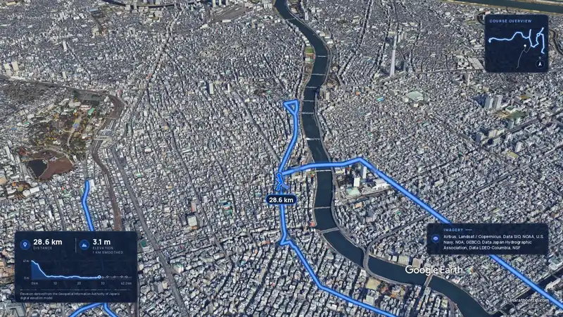 Imagery: Google Earth4:01 film
Tokyo, Japan
Sun 7 Mar 202742.2 kmClimb 16 m
Climb summed after smoothing the heights over 1 km. The edge is this course's height profile on one scale for every race: 250 m above its lowest point fills it.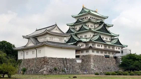
Nagoya, Japan
Sun 14 Mar 202742.2 kmClimb 52 m
Climb summed after smoothing the heights over 1 km. The edge is this course's height profile on one scale for every race: 250 m above its lowest point fills it. Photo: Nagoya Castle, by Base64, CC BY-SA 3.0, via Wikimedia Commons.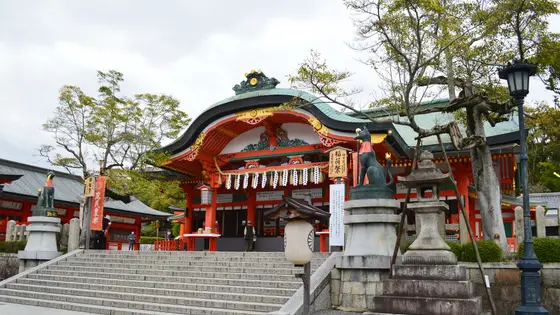 Entry open
Kyoto, Japan
Sun 21 Feb 202742.2 kmClimb 144 m
Climb summed after smoothing the heights over 1 km. The edge is this course's height profile on one scale for every race: 250 m above its lowest point fills it. Photo: Fushimi Inari-taisha, by Saigen Jiro, CC0, via Wikimedia Commons.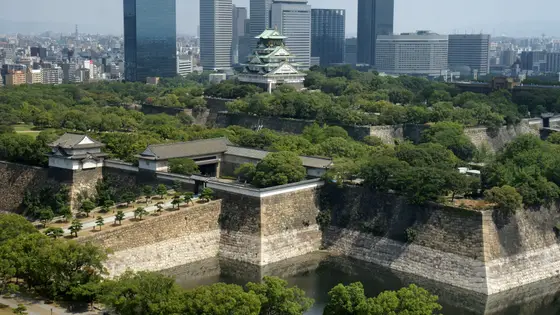
Osaka, Japan
Sun 28 Feb 202742.2 kmClimb 34 m
Climb summed after smoothing the heights over 1 km. The edge is this course's height profile on one scale for every race: 250 m above its lowest point fills it. Photo: Osaka Castle, by 663highland, CC BY 2.5, via Wikimedia Commons.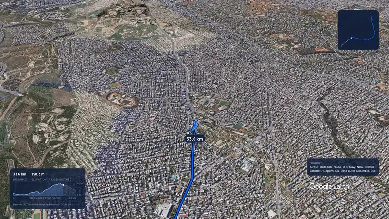 Imagery: Google Earth3:56 filmRace week
Athens, Greece
Sun 8 Nov42.2 kmClimb 281 m
Climb summed after smoothing the heights over 1 km. The edge is this course's height profile on one scale for every race: 250 m above its lowest point fills it.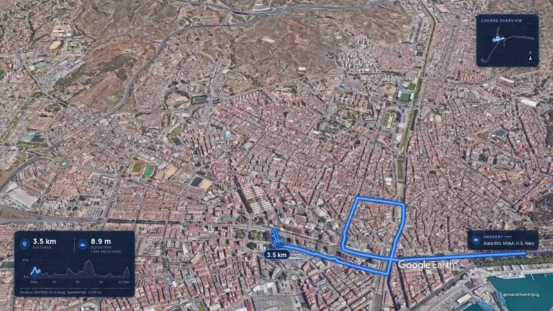 Imagery: Google Earth3:50 filmRace week
Malaga, Spain
Sun 8 Nov42.2 kmClimb 63 m
Climb summed after smoothing the heights over 1 km. The edge is this course's height profile on one scale for every race: 250 m above its lowest point fills it.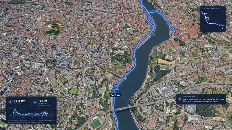 Imagery: Google Earth3:53 filmRace week
Porto, Portugal
Sun 8 Nov42.2 kmClimb 133 m
Climb summed after smoothing the heights over 1 km. The edge is this course's height profile on one scale for every race: 250 m above its lowest point fills it.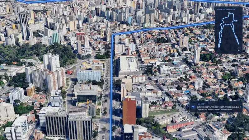 Imagery: Google Earth3:51 filmEntry open
Curitiba, Brazil
Sun 15 Nov42.2 kmClimb 128 m
Climb summed after smoothing the heights over 1 km. The edge is this course's height profile on one scale for every race: 250 m above its lowest point fills it.