Skip to content

Nagoya Women's Marathon

09:109:10 AM Vantelin Dome Nagoya
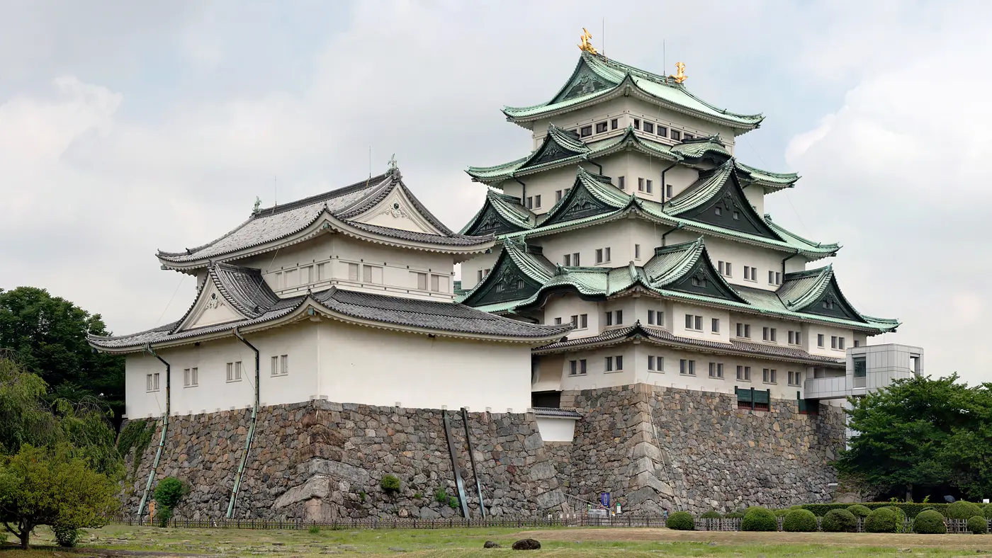
Nagoya Castle
© OpenStreetMap Nagoya Castle. Photograph by Base64, CC BY-SA 3.0 via Wikimedia Commons . Course line © OpenStreetMap contributors

The course

Pick a place, or drag along the profile

Downhill from km 5 to km 9, a slow rise of 17 m to km 16, then another slow rise of 15 m home from km 32.

Start, finish

© OpenStreetMap contributors

  1. Photo: ARICA13, CC BY 4.0
  2. Photo: Hyppolyte de Saint-Rambert, CC BY 4.0
  3. Photo: Emran Kassim, CC BY 2.0
  4. Photo: Evelyn-rose, CC0
  5. Photo: Evelyn-rose, CC0
  6. Photo: Kansai explorer, CC BY 3.0

km 24.1mile 15

Osu Kannon

The temple south-west of the Wakamiya Odori loop, a few hundred metres off the course.

Photo: Hyppolyte de Saint-Rambert, CC BY 4.0

Height drawn many times taller than life. Heights: Fundamental Geospatial Data digital elevation model.

Course elevation profile, 8× vertical exaggeration Elevation along the course from km 0 to km 42. The trace runs between 1 and 18 metres, a range of 18 metres, drawn at 8 times vertical exaggeration so the shape is legible. Smoothed over 1 km before this profile was derived. An unsmoothed urban surface carries the buildings and would assert a climb that is not there. The dashed stretches are bridge decks: Nishiki-dori, bridge, km 17.1 to 17.2. A bare-earth model reads the ground or the water beneath a bridge, not the deck the runner is on, so those runs are interpolated between the ground either side rather than measured, and they under-report the real climb across a span. Marked points: Cut-off 10:30 at km 6; Cut-off 11:55 at km 10.4; Cut-off 12:35 at km 15.7; Cut-off 12:52 at km 21.5; Cut-off 13:37 at km 26.2; Cut-off 14:11 at km 29.9; Cut-off 14:59 at km 35; Cut-off 15:32 at km 38.6; Cut-off 16:05 at km 41.7.
0 10 20 30 40 km
0 10 20 26.2 mi

Dashed: bridge upright dashes: cut-offs

  • downhill to 9
  • slow rise to 16
  • slow rise home

Your 5 gels, at the orange marksFor a 4:00 finish, one every 40 minutes

  1. km 7mile 4.4
  2. km 14.1mile 8.7
  3. km 21.1mile 13.1
  4. km 28.1mile 17.5
  5. km 35.2mile 21.8

Get them on AmazonAmazon partner link

The course in short 3 lines
  • Under nineteen metres above the sea, and the start is the high pointA flat course: it starts at 18.5 m, drops to sea level by km 9, and finishes at 18.2 m.
  • Inside the dome at both ends, with seven hours to finishStart and finish are both under the dome's roof; 96.6% finished in 2026.
  • The tower, the castle and City Hall, each seen twiceEach of the three sights is passed twice, once out and once back.
Course notes 3 short reads on the course
km 0 to 42.2GradientUnder nineteen metres above the sea, and the start is the high pointA flat course: it starts at 18.5 m, drops to sea level by km 9, and finishes at 18.2 m.

The start inside Vantelin Dome is the highest point of the course, at 18.5 m. The road then falls to 0.9 m at km 9.2, which is the lowest point, 17.6 m below the start. The high points after that are small: 16 m around km 15 and 16 m again around km 40.

The 51.9 m of climbing is spread over a course that never has a real hill. The finish, back at the dome, is at 18.2 m, so the last kilometres rise gently to meet the start. A bridge or underpass can be a few metres steeper than these figures.

Measured

km 0 to 42.2FinishInside the dome at both ends, with seven hours to finishStart and finish are both under the dome's roof; 96.6% finished in 2026.

The organiser describes the start and finish as “inside the dome”, and gives the 2027 start as “Sunday, March 14, 2027, starting at 9:10 JST”. The time limit is 7 hours, “based on the starting gun”, and its home page puts the 2026 finish rate at 96.6%.

Along the way the organiser sets tentative course closure times. The first is 9:40 at the start line, and the last checkpoint is the dome’s parking entrance at 41.7 km, closing at 16:05, five minutes before the finish line closes at 16:10. Runners who fall far behind the pace can be stopped at any point, not only at those checkpoints.

Sourced

km 19 to 36LandmarkThe tower, the castle and City Hall, each seen twiceEach of the three sights is passed twice, once out and once back.

On its course page the organiser lists the highlights by distance, and most come in pairs. “Twice during the race, just after the 19 km and 36 km marks, the course runs along Sakura-dori” with the Chubu Electric Power MIRAI TOWER beside it.

Between 27 km and 28 km, and again between 33 km and 34 km, runners pass the Aichi Prefectural Government Office and Nagoya City Hall, both Important Cultural Properties of Japan, and then the IG Arena, completed in 2025. Nagoya Castle “comes into view” at around the 26 km mark, and the organiser names the 35 km mark on the way back as the place for a photograph with the castle behind you.

Sourced

Race fuel

Energy gel
An energy gel sachet
Illustration · drag to turn

5 gels for Nagoya, plus 1 spare

Finish

One every 40 minutes, the orange marks on the profile. Nagoya stays within 18 m59 ft of height, so they go by the clock:

  1. km 7mile 4.4
  2. km 14.1mile 8.7
  3. km 21.1mile 13.1
  4. km 28.1mile 17.5
  5. km 35.2mile 21.8

Our pick: SiS BETA Fuel gel, box of 6, strawberry and lime. 40 g of carbohydrate a gel, about twice a usual gel, from two kinds of sugar your body takes up side by side.

Easy to forget on race morning: pack them with your bib the night before.

Get it on Amazon

We earn a small fee if you buy through these links. The price is the same.

In Canada the button opens GU Energy Gel, Salted Caramel, 24-pack, the best seller there.

Outside the Netherlands, Belgium, Germany, Austria and Switzerland, the UK and Ireland, Spain and Portugal, Italy, the rest of the EU and Canada the button opens GU Energy Gel, Chocolate Outrage, 24-pack on Amazon.com, the best seller there.

Anti-chafe
Compeed Anti-blister stick
Photo: Compeed

Compeed

Compeed anti-blister stick, 8 ml

Best selling on Amazon amazon.nl, read 2 Nov

An invisible layer before the start keeps seams, straps and shoes from rubbing skin raw.

Put it on before you leave for the start: heels and toes, inner thighs, under a bra or heart-rate strap.

Try it on a long run first, like everything you use on race day.

Get it on Amazon

We earn a small fee if you buy through these links. The price is the same.

Number belt
A race number belt
Illustration · drag to turn

Compressport Race Belt

Holds your bib without safety pins through your top, with loops for up to 8 gels.

Clip the bib on the night before, so it goes on with your shorts in the morning.

Keep the number on the front, where officials and photographers can see it.

Get it on Amazon

We earn a small fee if you buy through these links. The price is the same.

Electrolytes
A tube of electrolyte tablets
Illustration · drag to turn

SiS Hydro electrolyte tablets, tube of 20

One tablet in a bottle puts back some of the salt you sweat out.

One tablet in 500 ml of water in the hour before the start.

Only if you have used them in training: nothing new on race day.

Get it on Amazon

We earn a small fee if you buy through these links. The price is the same.

Blister plasters
Compeed Blister plasters, medium, 6
Photo: Compeed

Compeed

Compeed blister plasters, medium, 6

Best selling on Amazon amazon.nl, read 2 Nov

One in a pocket cushions a blister if one starts.

Put it on clean, dry skin and leave it until it comes off by itself.

Give a couple to whoever comes to cheer, so they are there at the km you need them.

Get it on Amazon

We earn a small fee if you buy through these links. The price is the same.

At a glance

distance
42.2 km26.2 mi
Loop, asphalt
climb
51.9 m170 ft
Highest point 18 m above lowest
cut-off
7:00 h
7 hours. Finish closes 16:10
first held
1980

A women-only marathon through central Nagoya, starting and finishing inside Vantelin Dome, one of the largest fields of any women's marathon anywhere.

The Nagoya Women's Marathon is a loop of 42.2 km with 51.9 m of climbing. Its lowest point is 1 m and its highest 18 m above sea level. Next race: Sunday 14 March 2027, starting at 09:10.

Race week

Bib pickup at Vantelin Dome Nagoya

Timetable

Friday 12 March Bib pickup

  1. 12:0012:00 PM–20:308:30 PM

    Number pickup Vantelin Dome Nagoya. General and elite entries. Valid ID required, nobody else can collect for you, and there is no pickup on race day.

Saturday 13 March Last bib day

  1. 10:0010:00 AM–19:307:30 PM

    Number pickup Vantelin Dome Nagoya. General and elite entries. Valid ID required, nobody else can collect for you, and there is no pickup on race day.

Sunday 14 March Race day

  1. 09:109:10 AM

    Marathon start Vantelin Dome Nagoya. Start and finish are both inside the dome. The organiser lists one start for the women's marathon.
  2. until 16:104:10 PM

    Finish closes Vantelin Dome Nagoya. Time limit 7 hours, counted from the starting gun. 7:00 limit: 9:57/km for 42.195 km7:00 limit: 16:01/mi for 26.2 mi
Cut-offs (10)
  1. until 09:409:40 AM

    Start line closes Course closure time at the start, tentative.
  2. until 10:3010:30 AM

    Course closure at 6.0 km, Nagoya City Museum Nagoya City Museum. Tentative closure time. Runners far behind the pace can be stopped at any time or place, not only here. 13:20/km from the 09:10 start to km 621:27/mi from the 9:10 AM start to mile 3.7
  3. until 11:5511:55 AM

    Course closure at 10.4 km, Myoon-dori 4 Intersection Myoon-dori 4 Intersection. Tentative closure time. Runners far behind the pace can be stopped at any time or place, not only here. 15:51/km from the 09:10 start to km 10.425:31/mi from the 9:10 AM start to mile 6.5
  4. until 12:3512:35 PM

    Course closure at 15.7 km, Okute Intersection Okute Intersection. Tentative closure time. Runners far behind the pace can be stopped at any time or place, not only here. 13:03/km from the 09:10 start to km 15.721:00/mi from the 9:10 AM start to mile 9.8
  5. until 12:5212:52 PM

    Course closure at 21.5 km, Wakamiya N. Intersection Wakamiya N. Intersection. Tentative closure time. Runners far behind the pace can be stopped at any time or place, not only here. 10:19/km from the 09:10 start to km 21.516:37/mi from the 9:10 AM start to mile 13.4
  6. until 13:371:37 PM

    Course closure at 26.2 km, Marunouchi Junior High School Marunouchi Junior High School. Tentative closure time. Runners far behind the pace can be stopped at any time or place, not only here. 10:11/km from the 09:10 start to km 26.216:24/mi from the 9:10 AM start to mile 16.3
  7. until 14:112:11 PM

    Course closure at 29.9 km, Chichibu-dori Intersection Chichibu-dori Intersection. Tentative closure time. Runners far behind the pace can be stopped at any time or place, not only here. 10:04/km from the 09:10 start to km 29.916:12/mi from the 9:10 AM start to mile 18.6
  8. until 14:592:59 PM

    Course closure at 35.0 km, Chunichi Shimbun Chunichi Shimbun. Tentative closure time. Runners far behind the pace can be stopped at any time or place, not only here. 9:58/km from the 09:10 start to km 3516:02/mi from the 9:10 AM start to mile 21.7
  9. until 15:323:32 PM

    Course closure at 38.6 km, Sakuradori Kurumamichi Intersection Sakuradori Kurumamichi Intersection. Tentative closure time. Runners far behind the pace can be stopped at any time or place, not only here. 9:53/km from the 09:10 start to km 38.615:55/mi from the 9:10 AM start to mile 24
  10. until 16:054:05 PM

    Course closure at 41.7 km, Dome Parking Entrance Dome Parking Entrance. Tentative closure time. Runners far behind the pace can be stopped at any time or place, not only here. 9:57/km from the 09:10 start to km 41.716:00/mi from the 9:10 AM start to mile 25.9

Times as published by the organiser, in Nagoya time, checked .

Add to calendar .ics file, times in Nagoya time

Trip

Getting a place

Entry through the organiser

Entry details on the organiser’s site →

The organiser, a third party. We take no entries and have no part in the race.

Make your postcard

Keep exploring

Same weekend

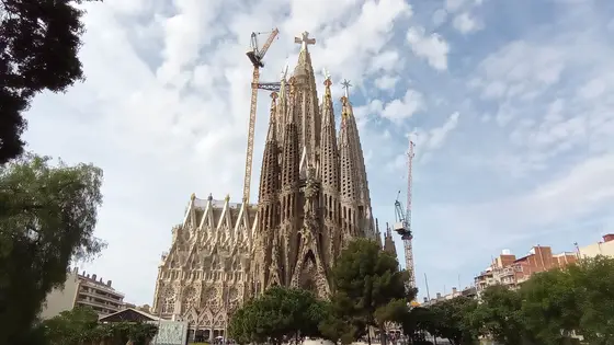
  • Sagrada Família, Barcelona

    Barcelona Marathon

    Barcelona, Spain

    Sun 14 Mar 202742.2 kmClimb 59 m

    Climb summed after smoothing the heights over 1 km. The edge is this course's height profile on one scale for every race: 250 m above its lowest point fills it. Photo: Sagrada Família, by Canaan, CC BY-SA 4.0, via Wikimedia Commons.
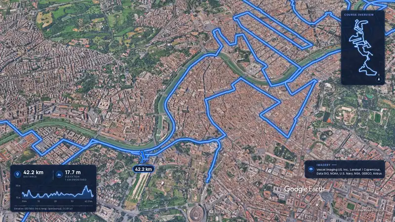
  • A frame from our Rome Marathon filmImagery: Google Earth3:56 filmEntry open

    Rome Marathon

    Rome, Italy

    Sun 14 Mar 202742.2 kmClimb 87 m

    Climb summed after smoothing the heights over 1 km. The edge is this course's height profile on one scale for every race: 250 m above its lowest point fills it.
Same month, nearby

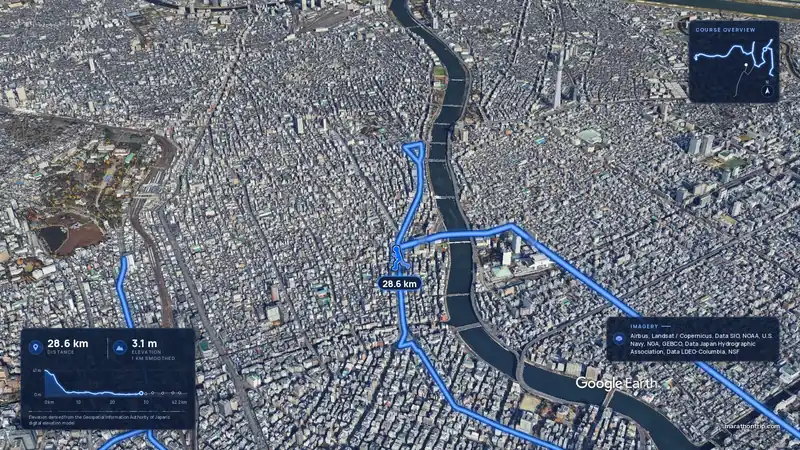
  • A frame from our Tokyo Marathon filmImagery: Google Earth4:01 film

    Tokyo Marathon

    Tokyo, Japan

    Sun 7 Mar 202742.2 kmClimb 16 m

    Climb summed after smoothing the heights over 1 km. The edge is this course's height profile on one scale for every race: 250 m above its lowest point fills it.
  • Gyeongbokgung, Seoul

    Seoul Marathon

    Seoul, South Korea

    Sun 21 Mar 202742.2 kmClimb 59 m

    Climb summed after smoothing the heights over 1 km. The edge is this course's height profile on one scale for every race: 250 m above its lowest point fills it. Photo: Gyeongbokgung, by Frank Schulenburg, CC BY-SA 4.0, via Wikimedia Commons.
A course like this

  • Doha

    Doha Marathon

    Doha, Qatar

    Fri 15 Jan 202742.2 kmClimb 50 m

    Climb summed after smoothing the heights over 1 km. The edge is this course's height profile on one scale for every race: 250 m above its lowest point fills it. Photo: Doha, by Francisco Anzola, CC BY 2.0, via Wikimedia Commons.
  • Main Square, Krakow

    Krakow Marathon

    Krakow, Poland

    Sun 18 Apr 202742.2 kmClimb 55 m

    Climb summed after smoothing the heights over 1 km. The edge is this course's height profile on one scale for every race: 250 m above its lowest point fills it. Photo: Main Square, by Ingo Mehling, CC BY-SA 4.0, via Wikimedia Commons.
  • Christchurch Botanic Gardens, Christchurch

    Christchurch Marathon

    Christchurch, New Zealand

    Sun 18 Apr 202742.2 kmClimb 49 m

    Climb summed after smoothing the heights over 1 km. The edge is this course's height profile on one scale for every race: 250 m above its lowest point fills it. Photo: Christchurch Botanic Gardens, by Szilas, Public domain, via Wikimedia Commons.

Questions about the Nagoya Women's Marathon

Is the Nagoya Women's Marathon course flat?

Not entirely. It has 51.9 m of climbing over 42.2 km. The highest point is 18 m above the lowest.

When is the Nagoya Women's Marathon 2027?

Sunday 14 March 2027. The start is at 09:10.

How do I enter the Nagoya Women's Marathon?

Entry is through the organiser. Entry fee: JP¥19,000 (for the 2027 race). Entry details on the organiser’s site

2 more questions
What is the time limit at the Nagoya Women's Marathon?

Runners have 7 hours to finish. The finish closes at 16:10.

Where does the Nagoya Women's Marathon start?

Start: Vantelin Dome Nagoya.

More about the race

In the news

All race news →

Sources and licence

Last checked.

Course line matched onto OpenStreetMap road geometry: (c) OpenStreetMap contributors, Open Database License 1.0 (ODbL). Elevation sampled from Fundamental Geospatial Data digital elevation model (kiban chizu joho suchi hyokou model), best available: 1 m airborne laser over central Tokyo: 出典:国土地理院ウェブサイト (https://maps.gsi.go.jp/development/ichiran.html) を加工して作成 / Elevation derived from the Geospatial Information Authority of Japan's digital elevation model, GSI content usage terms, applying the Public Data License 1.0.

Elevation gain computed by us from that line, smoothed over 1 kmsmoothed over 0.6 mi.

The line is drawn on the roads and measures 0.38% shorter than the certified distance.

Date and entry information from the organiser.

Every source and licence behind them →

More races in Japan and in March