
Registration closed for the 2027 race Going by the dates read 25 September 2026.
Past years and every way in
Entry details on the organiser’s site →
The organiser, a third party. We take no entries and have no part in the race.
 Marathon Trip
Your trips on every device: sign in, or make a free account when you save one.
Signed in on this browser.
Sign in My marathons Account and dataLocked out? An export link you keep still opens your list in any browser.
No account: email it to me
One email with this trip and a link to open it again. We do not keep the address and send nothing else.
Only a race from our list can be emailed. An account keeps this one.
What we keep, and what we do notCheck your inbox at to confirm it.
Browse the racesEach edition the day it comes out, and nothing else. Off again with one click. How it is kept.
A climb of 61 m to km 12, downhill from km 16 to km 35, then another climb of 28 m to km 39.
© OpenStreetMap contributors
km 0mile 0
The start, in front of Takebishi Stadium Kyoto, where the organiser's map puts the start line and the first stretch runs east on Gojo-dori.
Photo: Mr.ちゅらさん, CC BY 4.0
km 5.9mile 3.7
The bridge the organiser's map shows at Arashiyama; the course passes its east end on Prefectural Route 29 beside the Katsura river.
Photo: Tomomarusan, CC BY 2.5
km 8.3mile 5.2
The pond the organiser's map names beside the 10 km flag; the course runs along its south side on Route 29.
Photo: kajikawa, CC BY 3.0
km 10.7mile 6.6
One of the seven World Heritage sites the organiser lists along the course, a few hundred metres from the line on the road past the Omuro district.
Photo: Hyppolyte de Saint-Rambert, CC BY 4.0
km 17.1mile 10.6
The shrine the organiser lists among the seven World Heritage sites, east of the Kamo river near the turn at Nishigamo-bashi.
Photo: Immanuelle, CC BY 4.0
km 21.1mile 13.1
Photo: lumoplank, CC0
km 35.4mile 22
The City Hall the organiser's map shows at the Kawaramachi-dori turn, the 35 km flag.
Photo: Hyppolyte de Saint-Rambert, CC BY 4.0
km 42.2mile 26.2
The finish, on Reizei-dori beside the Heian-jingu approach, read from the picture on the organiser's map and good to about 100 m.
Photo: Immanuelle, CC BY 4.0
Height drawn many times taller than life. Heights: Fundamental Geospatial Data digital elevation model.
Dashed: bridge

Your 5 gels, at the orange marksFor a 4:00 finish, one every 40 minutes
Get them on AmazonAmazon partner link
The marathon starts at TAKEBISHI Stadium Kyoto at 24.8 m and then does not give anything back for a long time. The lowest point of the course is the first kilometre, 24.5 m. From there the road climbs, with a few short dips, to km 15.7, where it reaches 93.0 m, the highest point of the whole route.
The steepest stretch is between km 5 and km 10, which gains about 37 m on its own. Over the whole 16 km that is a little over 4 m per kilometre, a long drag rather than a hill.
Measured
From the 93 m high point the course gives height back, with a flat stretch around km 20 to 25. By km 35.5 the road is at 42.8 m, about 50 m lower than at km 16, and the stretch from km 25 to km 35 loses about 35 m, from 77.9 m to 43.0 m.
That makes the climb after km 35.5 easy to miss on a chart and hard to miss on the day: 28.5 m up to 71.2 m at km 39.2, with the legs already 35 km deep. After that the road comes back down 24 m to the finish in front of Heian-jingu Shrine at 47.1 m. In all, the marathon climbs 143.5 m by this measurement.
Measured
The organiser’s own description of the 2027 course lists the seven sites above, plus Umenomiya-taisha, Matsunoo-taisha, Seiryo-ji, Daikaku-ji, Hirano-jinja, Wara-tenjin, Daitoku-ji, Imamiya-jinja and Heian-jingu among the other attractions along the road.
Runners follow the Katsura River with a view of Togetsukyo Bridge in Arashiyama, pass through Sagano and Hirosawa-no-ike Pond, take Kinukake-no-michi Road and the Kyoto Botanical Gardens, run beside the Kamo River and through Kyoto Gyoen National Garden, and finish near Heian-jingu Shrine. The organiser also points to the view of the five mountains of the Gozan no Okuribi bonfire festival.
Sourced
A February route through Kyoto past seven UNESCO World Heritage temples and shrines, following the Katsura and Kamo rivers before finishing near Heian Shrine.
The Kyoto Marathon is a hilly point-to-point course of 42.2 km with 143.5 m of climbing. Its lowest point is 24 m and its highest 93 m above sea level. Next race: Sunday 21 February 2027, starting at 09:00.
Time not published
Time not published
08:558:55 AM
09:009:00 AM
15:003:00 PM
Times as published by the organiser, in Kyoto time, checked .
The forecast for Sunday
Add to calendar .ics file, times in Kyoto time
Registration closed for the 2027 race Going by the dates read 25 September 2026.
The organiser, a third party. We take no entries and have no part in the race.
 Sold out
Seville, Spain
Sun 21 Feb 202742.2 kmClimb 29 m
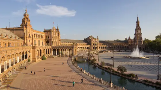
Climb summed after smoothing the heights over 1 km. The edge is this course's height profile on one scale for every race: 250 m above its lowest point fills it. Photo: Plaza de España, by Carlos Delgado, CC BY-SA 4.0, via Wikimedia Commons.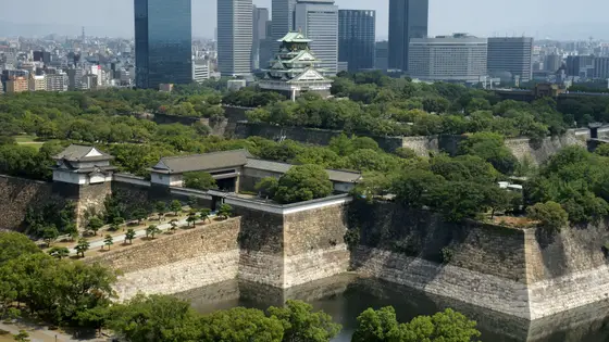
Osaka, Japan
Sun 28 Feb 202742.2 kmClimb 34 m
Climb summed after smoothing the heights over 1 km. The edge is this course's height profile on one scale for every race: 250 m above its lowest point fills it. Photo: Osaka Castle, by 663highland, CC BY 2.5, via Wikimedia Commons.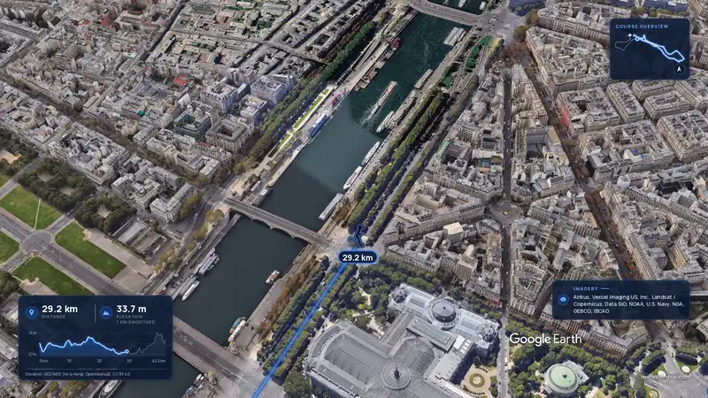 Imagery: Google Earth3:56 film
Paris, France
Sun 4 Apr 202742.2 kmClimb 142 m
Climb summed after smoothing the heights over 1 km. The edge is this course's height profile on one scale for every race: 250 m above its lowest point fills it.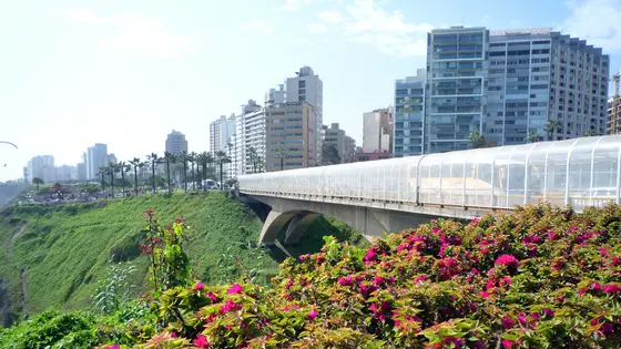
Lima, Peru
May 202742.2 kmClimb 140 m
Climb summed after smoothing the heights over 1 km. The edge is this course's height profile on one scale for every race: 250 m above its lowest point fills it. Photo: Miraflores District, by Mira4espina78y, CC BY-SA 3.0, via Wikimedia Commons.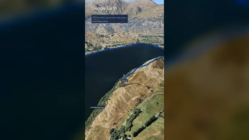 Imagery: Google Earth0:58 film
Queenstown, New Zealand
Sat 14 Nov42.2 kmClimb 139 m
Climb summed after smoothing the heights over 1 km. The edge is this course's height profile on one scale for every race: 250 m above its lowest point fills it.No, it is a hilly course: 143.5 m of climbing over 42.2 km. The highest point is 69 m above the lowest. It finishes 22 m higher than it starts.
Sunday 21 February 2027. The start is at 09:00.
Entry for the 2027 race has closed. It opened on 16 July 2026 and closed on 30 September. Entry fee: JP¥35,000 (from abroad, for the 2027 race). Entry details on the organiser’s site
Runners have 6 hours to finish. The finish closes at 15:00.
13,894 runners finished in 2020.