
Entry through the organiser
Entry details on the organiser’s site →
The organiser, a third party. We take no entries and have no part in the race.
 Marathon Trip
Your trips on every device: sign in, or make a free account when you save one.
Signed in on this browser.
Sign in My marathons Account and dataLocked out? An export link you keep still opens your list in any browser.
No account: email it to me
One email with this trip and a link to open it again. We do not keep the address and send nothing else.
Only a race from our list can be emailed. An account keeps this one.
What we keep, and what we do notCheck your inbox at to confirm it.
Browse the racesEach edition the day it comes out, and nothing else. Off again with one click. How it is kept.
A steep drop to km 6, then a climb of 166 m home.
© OpenStreetMap contributors
km 3.3mile 2.1
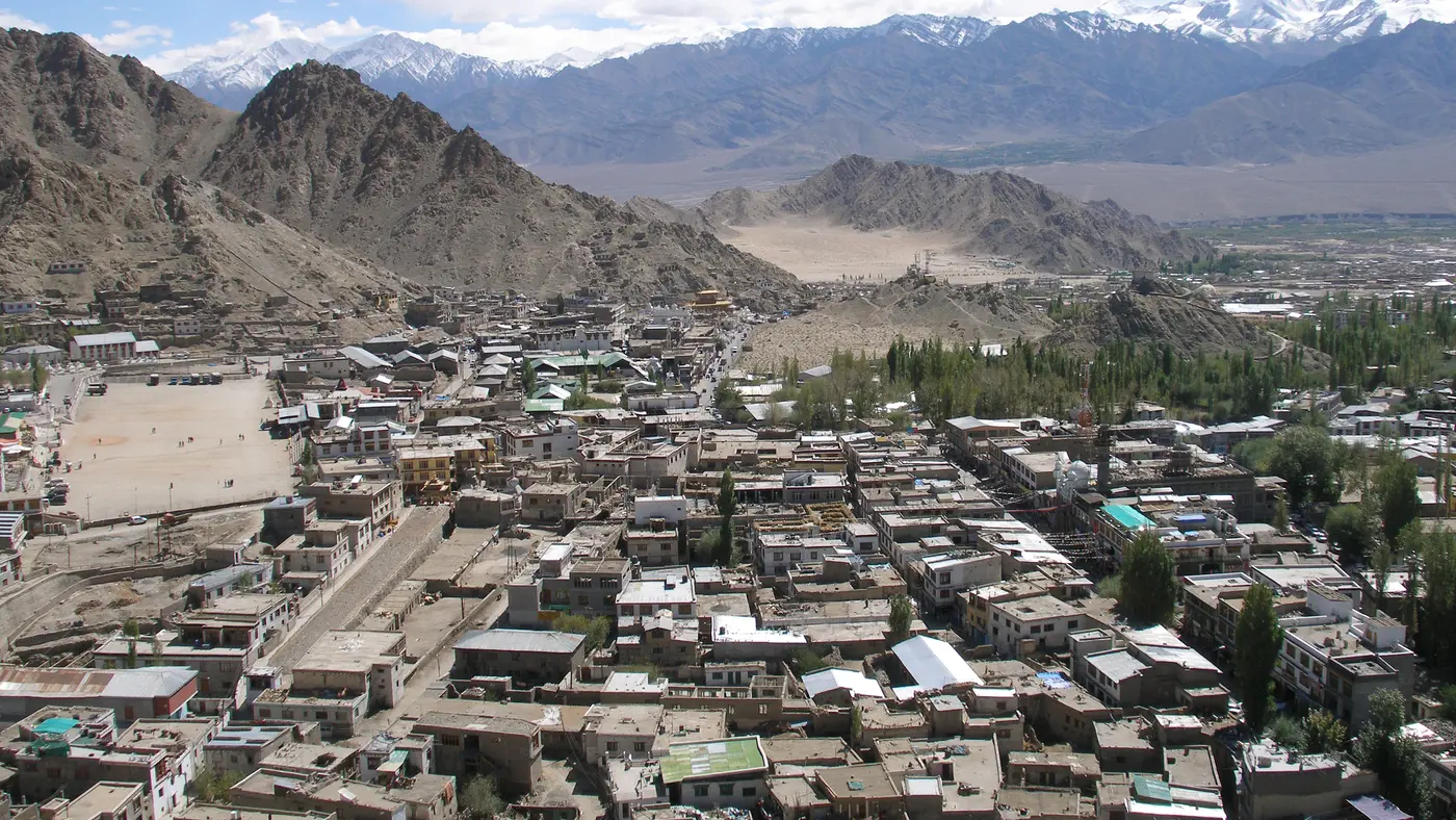
The organiser's route description takes the Leh-Manali highway down to the settlement of Choglamsar and turns right toward the Choglamsar bridge with its prayer flags.
Photo: Michael Day, CC BY 2.0
km 20.2mile 12.5
The organiser's route description turns left to Stakna village, where the monastery sits on a rock shaped like a leaping tiger.
Photo: Beefy SAFC, Public domain
Height drawn many times taller than life. Heights: GEDTM30.
Dashed: bridge

Your 5 gels, at the orange marksFor a 4:00 finish, one every 40 minutes
Get them on AmazonAmazon partner link
Leh sits above 3,300 m and the whole marathon is run between 3,218 m and 3,384 m. The first 6.4 km run downhill from the start at 3,380 m to the lowest point, 3,218 m, near Choglamsar. The course then rolls along the Indus valley and turns back toward Leh. From 35.1 km, where it is at 3,222 m, it climbs 161 m over the last 7.1 km to the finish, the highest point of the course at 3,384 m.
Altogether the course climbs 243 m. A watch on the day will count more small rises than this.
Measured
From the NDS Memorial Stadium the route follows the Leh-Manali highway past the ITBP camp to Choglamsar, a steady downhill, and turns right over the Choglamsar bridge with its prayer flags. It then takes the Chushot road with the Stok range on the right and the Indus on the left, turns left at 11.8 km toward Stakna, where the monastery sits on a rock shaped like a leaping tiger, and crosses the Stakna bridge to rejoin the highway at the half-way point. The next 10 km pass Thiksey monastery and the Shey Palace, and the final 6 km are described as the challenging part of the race, a long steady incline to the finish.
Sourced
For the 13th edition on Sunday 13 September 2026 the marathon went off at 06:00 from the NDS Memorial Stadium in Leh, with a cut-off at 12:45. The roads were closed at 1:15 p.m. Entrants had to be 18 or older on race day and show either one marathon under 6 hours since 1 January 2025 or two half marathons under 3 hours, with at least one of them after that date. The organiser calls it a tough race at high altitude for runners who have trained for several months.
Sourced
The Ladakh Marathon is a hilly course of 42.2 km with 243.1 m of climbing. Its lowest point is 3,218 m and its highest 3,384 m above sea level.
Entry through the organiser
The organiser, a third party. We take no entries and have no part in the race.
More races to look at after the Ladakh Marathon.
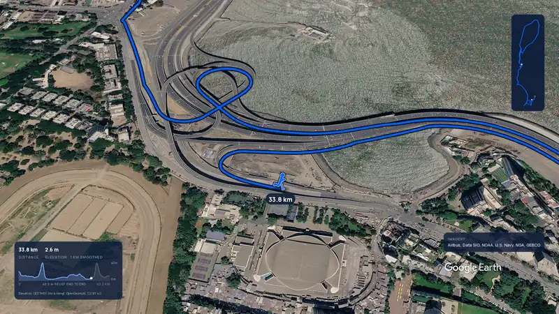 Imagery: Google Earth3:58 filmEntry closes 5 Nov
Mumbai, India
Sun 17 Jan 202742.2 kmClimb 104 m
Climb summed after smoothing the heights over 1 km. The edge is this course's height profile on one scale for every race: 250 m above its lowest point fills it.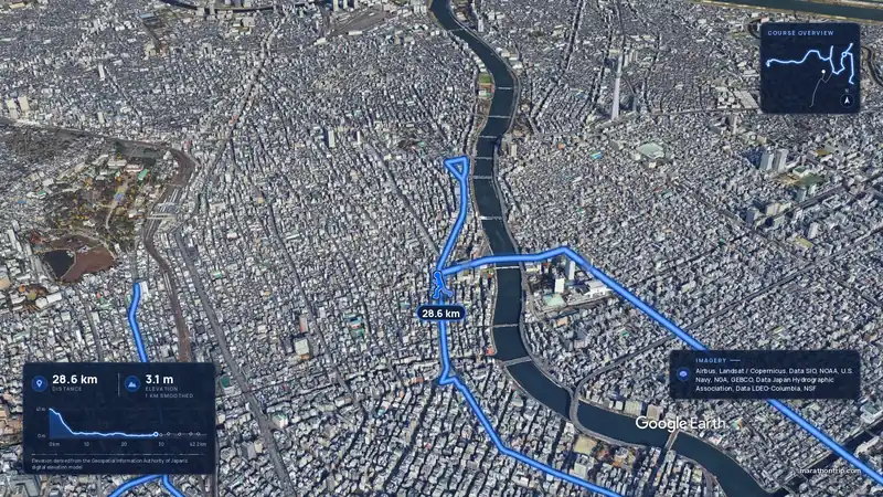 Imagery: Google Earth4:01 film
Tokyo, Japan
Sun 7 Mar 202742.2 kmClimb 16 m
Climb summed after smoothing the heights over 1 km. The edge is this course's height profile on one scale for every race: 250 m above its lowest point fills it.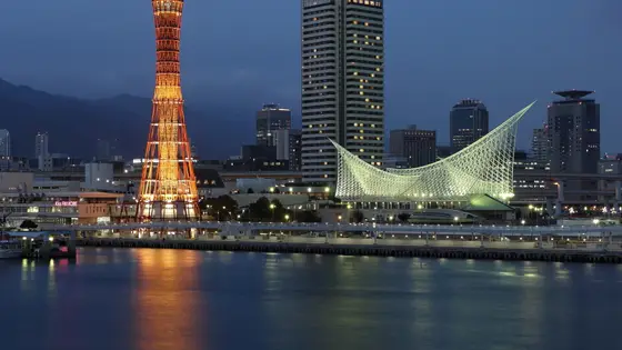
Kobe, Japan
Sun 15 Nov42.2 kmClimb 33 m
Climb summed after smoothing the heights over 1 km. The edge is this course's height profile on one scale for every race: 250 m above its lowest point fills it. Photo: Kobe, by Martin Falbisoner, CC BY-SA 4.0, via Wikimedia Commons.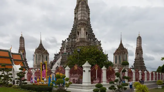
Bangkok, Thailand
Sun 29 Nov42.2 kmClimb 31 m
Climb summed after smoothing the heights over 1 km. The edge is this course's height profile on one scale for every race: 250 m above its lowest point fills it. Photo: Wat Arun, by Diego Delso, CC BY-SA 3.0, via Wikimedia Commons.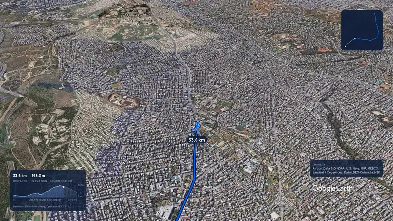 Imagery: Google Earth3:56 filmRace week
Athens, Greece
Sun 8 Nov42.2 kmClimb 281 m
Climb summed after smoothing the heights over 1 km. The edge is this course's height profile on one scale for every race: 250 m above its lowest point fills it.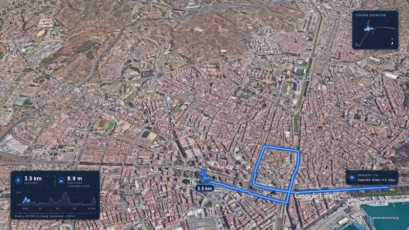 Imagery: Google Earth3:50 filmRace week
Malaga, Spain
Sun 8 Nov42.2 kmClimb 63 m
Climb summed after smoothing the heights over 1 km. The edge is this course's height profile on one scale for every race: 250 m above its lowest point fills it.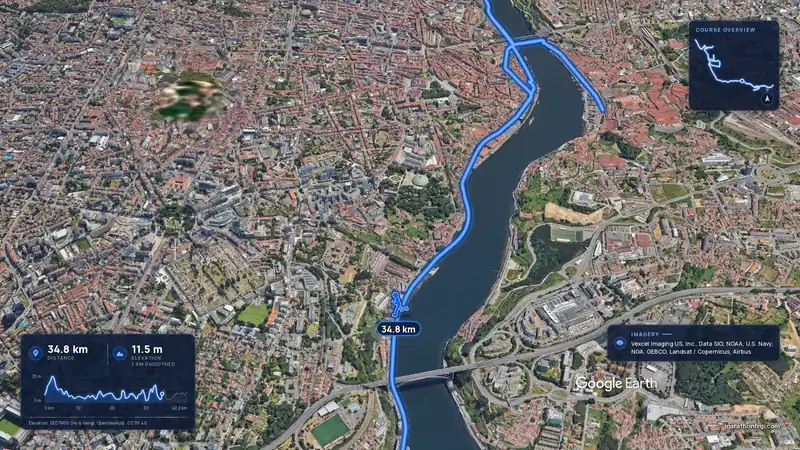 Imagery: Google Earth3:53 filmRace week
Porto, Portugal
Sun 8 Nov42.2 kmClimb 133 m
Climb summed after smoothing the heights over 1 km. The edge is this course's height profile on one scale for every race: 250 m above its lowest point fills it.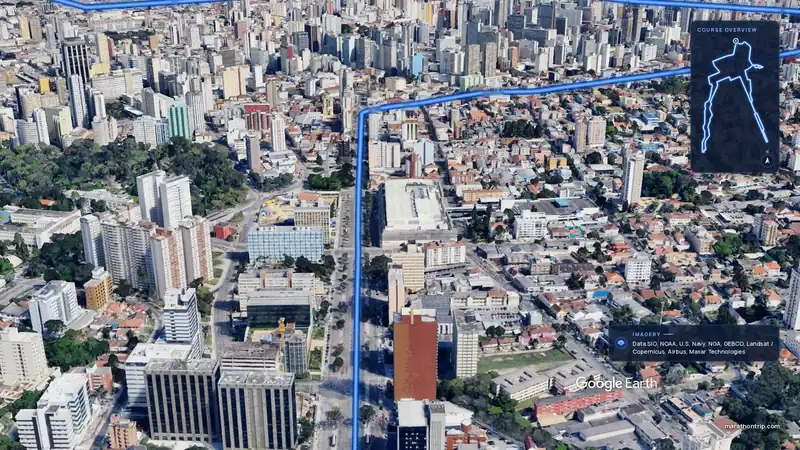 Imagery: Google Earth3:51 filmEntry open
Curitiba, Brazil
Sun 15 Nov42.2 kmClimb 128 m
Climb summed after smoothing the heights over 1 km. The edge is this course's height profile on one scale for every race: 250 m above its lowest point fills it.