
Entry through the organiser
Entry details on the organiser’s site →
Tourism Authority of Thailand, a third party. We take no entries and have no part in the race.
 Marathon Trip
Your trips on every device: sign in, or make a free account when you save one.
Signed in on this browser.
Sign in My marathons Account and dataLocked out? An export link you keep still opens your list in any browser.
No account: email it to me
One email with this trip and a link to open it again. We do not keep the address and send nothing else.
Only a race from our list can be emailed. An account keeps this one.
What we keep, and what we do notCheck your inbox at to confirm it.
Browse the racesEach edition the day it comes out, and nothing else. Off again with one click. How it is kept.
Flat from start to finish: 5 m between the lowest and the highest point.
© OpenStreetMap contributors
km 1mile 0.6
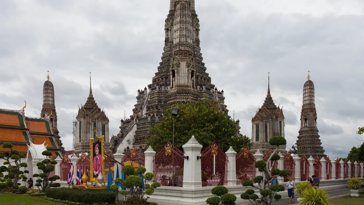
The Democracy Monument, on Ratchadamnoen Klang, commemorates the 1932 Siamese revolution that ended absolute monarchy; it was completed in 1939.
km 2.6mile 1.6
The Phra Pinklao Bridge carries Somdet Phra Pinklao Road over the Chao Phraya from Phra Nakhon to Thonburi; it opened in 1973. The course crosses it north-west, on the deck, km 2.20-2.82, the first of its two river crossings.
km 5.2mile 3.2
The Rama VIII Bridge, opened in 2002, is a cable-stayed bridge over the Chao Phraya hung from a single inverted-Y pylon on the Thonburi bank.
km 8.3mile 5.1
Wat Benchamabophit, the Marble Temple, was built from 1899 under King Chulalongkorn, its ordination hall faced in Italian Carrara marble. The course passes it on Si Ayutthaya Road just after the Royal Plaza, 105 m off the line at km 8.25.
km 11.6mile 7.2
The Victory Monument, an obelisk in the middle of Bangkok's busiest roundabout, was erected in 1941 after the Franco-Thai War.
km 18.2mile 11.3
Lumpini Park, opened in the 1920s on royal land given by King Vajiravudh, was Bangkok's first public park.
km 21.6mile 13.4
King Power Mahanakhon, 314 m and completed in 2016, is the 'pixelated' tower designed by Ole Scheeren, its facade cut by a spiralling band of open cubes.
km 39.1mile 24.3
The Golden Mount is the artificial hill of Wat Saket, crowned by a golden chedi, which was for decades the highest point in Bangkok. The course does not climb it: it sees it from Ratchadamnoen Nok over the Phan Fa Lilat bridge, 267 m off the line at km 39.1, past the Loha Prasat.
km 40.1mile 24.9
The Giant Swing, Sao Chingcha, a red teak frame in front of Wat Suthat, was first raised in 1784 for a Brahmin ceremony. The course comes down Dinso Road past Lan Khon Mueang and turns right onto Bamrung Mueang beside it, 49 m off the line at km 40.08.
km 41.8mile 26
The Grand Palace has been the official residence of the Kings of Siam since 1782, and Wat Phra Kaew within its walls holds the Emerald Buddha.
km 42.2mile 26.2
The race starts on Ratchadamnoen Nai in front of the Supreme Court and finishes on Na Phra That beside the Thavornwathu Building on the west side of Sanam Luang, about 300 m apart across the ground.
Height drawn many times taller than life. Heights: GEDTM30.
Dashed: bridge

Your 5 gels, at the orange marksFor a 4:00 finish, one every 40 minutes
Get them on AmazonAmazon partner link
The organiser’s FAQ lists the start and finish lines: “42K & 10K & 4.5K Start / All Finish Lines: Sanam Luang, Phra Nakhon District”, while “21K Start: MBK Center, Phayathai Road, Pathumwan District”. The 2026 marathon is on Sunday 29 November. Runners are released from 02:00 to 02:30, in the dark, and the finish is on Na Phra That Road in front of the red building at Sanam Luang. The half marathon is run the day before, on Saturday 28 November, from MBK Center.
Sourced
The organiser’s route text, in Thai, goes from the start past the Democracy Monument and the Four-Headed Elephant Monument, up the Phra Pinklao Bridge on to Borommaratchachonnani Road, onto the elevated parallel carriageway and back to Rama VIII Road and the Rama VIII Bridge. It then returns along Ratchadamnoen Nok to the Royal Plaza, takes Ratchawithi to the Victory Monument, and runs down Phaya Thai and Rama I past Siam Paragon and Ratchaprasong, then Rama IV along the side of Lumphini Park and onto Silom.
Sourced
Bangkok sits close to the sea. The elevation profile along the course runs from 3.2 m at about km 18.0 to 7.8 m at about km 22.4, and the start and finish are at 4.1 m and 3.9 m. The 31.4 m of total climb is made up of small steps rather than any hill.
The clock matters more than the road. The organiser’s rules give the marathon “7 hours 00 minute after last flag off” and the schedule shows the marathon cut-off at 09:30, counted from the last runner leaving the start at 02:30. The page adds that there may be staggered cut-off times at selected points on the route, to be released closer to race day.
Measured
A Bangkok loop that starts and finishes at Sanam Luang beside the Grand Palace, crosses the river on the Phra Pinklao and Rama VIII bridges and runs on through the Siam shopping streets and Silom.
The Amazing Thailand Marathon Bangkok is a flat loop of 42.2 km with 31.4 m of climbing. Its lowest point is 3 m and its highest 8 m above sea level. Next race: Sunday 29 November 2026, starting at 02:00.
Bib pickup at Queen Sirikit National Convention Center
11:0011:00 AM–20:008:00 PM
11:0011:00 AM–20:008:00 PM
04:004:00 AM
11:0011:00 AM–18:006:00 PM
01:001:00 AM–01:301:30 AM
01:001:00 AM–01:451:45 AM
01:451:45 AM–01:551:55 AM
02:002:00 AM–02:302:30 AM
07:307:30 AM–09:309:30 AM
09:309:30 AM
Times as published by Tourism Authority of Thailand, in Bangkok time, checked .
The forecast for Sunday
Add to calendar .ics file, times in Bangkok time
Entry through the organiser
Tourism Authority of Thailand, a third party. We take no entries and have no part in the race.
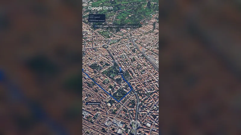 Imagery: Google Earth1:14 filmSold out
Florence, Italy
Sun 29 Nov42.2 kmClimb 86 m
Climb summed after smoothing the heights over 1 km. The edge is this course's height profile on one scale for every race: 250 m above its lowest point fills it.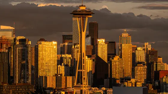
Seattle, United States
Sun 29 Nov42.2 km
Photo: Space Needle, by Guywelch2000, CC BY 4.0, via Wikimedia Commons.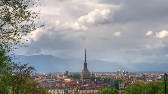
Turin, Italy
Sun 29 Nov42.2 km
Photo: Turin, by Uccio “Uccio2” D'Ago…, CC BY-SA 3.0, via Wikimedia Commons.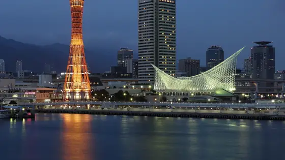
Kobe, Japan
Sun 15 Nov42.2 kmClimb 33 m
Climb summed after smoothing the heights over 1 km. The edge is this course's height profile on one scale for every race: 250 m above its lowest point fills it. Photo: Kobe, by Martin Falbisoner, CC BY-SA 4.0, via Wikimedia Commons.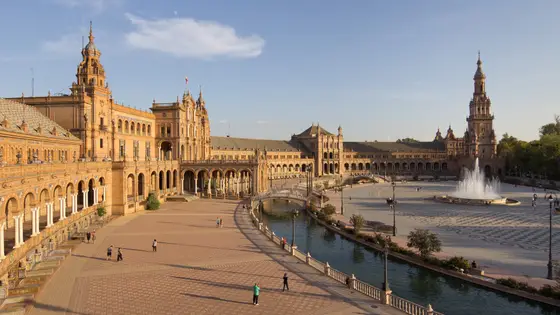 Sold out
Seville, Spain
Sun 21 Feb 202742.2 kmClimb 29 m
Climb summed after smoothing the heights over 1 km. The edge is this course's height profile on one scale for every race: 250 m above its lowest point fills it. Photo: Plaza de España, by Carlos Delgado, CC BY-SA 4.0, via Wikimedia Commons.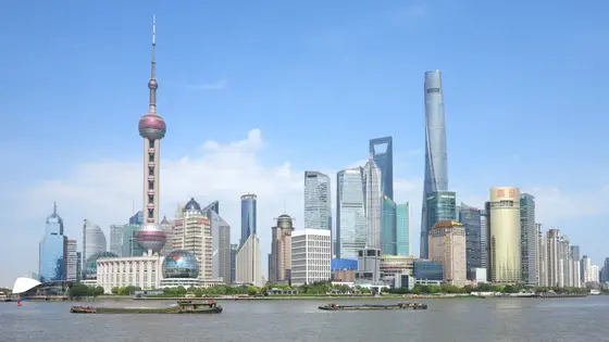
Shanghai, China
Sun 6 Dec42.2 kmClimb 29 m
Climb summed after smoothing the heights over 1 km. The edge is this course's height profile on one scale for every race: 250 m above its lowest point fills it. Photo: Pudong, by https://www.pxfuel.com/en/free-photo-ovozr, CC0, via Wikimedia Commons.Yes. It has 31.4 m of climbing over 42.2 km. The highest point is 5 m above the lowest.
Sunday 29 November 2026. The start is at 02:00.
Entry is through the organiser. Entry fee: THB 1,800 (for the 2026 race). Entry details on the organiser’s site
Runners have 7 hours to finish. The finish closes at 09:30.
Start: Sanam Luang, Ratchadamnoen Nai Road.
5,008 runners finished in 2025.