
Ballot closed for the 2026 race As read 25 September 2026.
Past years and every way in
Entry details on the organiser’s site →
Kobe Marathon Executive Committee, a third party. We take no entries and have no part in the race.
 Marathon Trip
Your trips on every device: sign in, or make a free account when you save one.
Signed in on this browser.
Sign in My marathons Account and dataLocked out? An export link you keep still opens your list in any browser.
No account: email it to me
One email with this trip and a link to open it again. We do not keep the address and send nothing else.
Only a race from our list can be emailed. An account keeps this one.
What we keep, and what we do notCheck your inbox at to confirm it.
Browse the racesEach edition the day it comes out, and nothing else. Off again with one click. How it is kept.
Flat from start to finish: 9 m between the lowest and the highest point.
© OpenStreetMap contributors
km 0mile 0
Kobe City Hall beside Higashi Yuenchi, where the start is. The organiser: Japan's first race called a 'marathon' ran on 21 March 1909 from Minatogawa in Kobe to Osaka, and a stone at City Hall marks it.
Photo: 663highland, CC BY 2.5
km 0.9mile 0.5
Photo: 663highland, CC BY 2.5
km 1.3mile 0.8
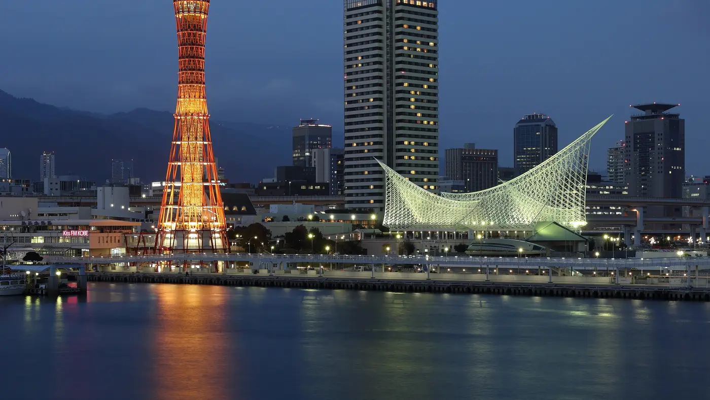
Kobe Port Tower, 108 m, completed 1963, its lattice shaped like a tsuzumi, a Japanese hand drum. 439 m left of the runner at km 1.34 and 621 m from the finish.
Photo: Balon Greyjoy, CC0
km 8.8mile 5.5
In the Tale of Genji the prince goes into exile at Suma.
Photo: jim212jim, CC BY 2.0
km 11.5mile 7.2
Photo: 663highland, CC BY 2.5
km 17.8mile 11.1
The Akashi Kaikyo Bridge: main span 1,991 m, the longest suspension span in the world from its opening in 1998 until the 1915 Canakkale Bridge in 2022; towers 298.3 m above the sea.
Photo: Pinqui, Public domain
km 20.8mile 12.9
The turn on the beach road at Okura Kaigan, Akashi, km 20.75, 697 m east of 135 degrees east: the course never reaches the meridian. Japan's standard time follows 135 E, which runs through Akashi; the Akashi Municipal Planetarium stands on it, 817 m from the turn.
Photo: 大蔵, CC0
km 24mile 14.9
Photograph: 663highland, CC BY 2.5.
Photo: 663highland, CC BY 2.5
km 31.9mile 19.8
Photo: 663highland, CC BY 2.5
km 42.1mile 26.1
Kobe Harborland, built on the site of a rail freight yard and opened in 1992.
Photo: 663highland, CC BY 2.5
Height drawn many times taller than life. Heights: Fundamental Geospatial Data digital elevation model.
Dashed: bridge

Your 5 gels, at the orange marksFor a 4:00 finish, one every 40 minutes
Get them on AmazonAmazon partner link
Kobe is squeezed between the mountains and the bay, and the course stays on the strip in between. The road runs between 0.6 m and 8.6 m above sea level, 8 m from the lowest point to the highest. The high point is at km 13.2, on the way out toward Akashi; the low point is at km 38.9, on the way home.
In all the marathon climbs 29.7 m, about 17.9 m of it before halfway and 11.7 m after. The road crosses bridge decks at about km 10, 22 and 33. A watch on the day will count more small rises than these figures do.
Measured
Kobe City Hall is the start, and within the first kilometre the road passes within 100 m of Nankinmachi, the city’s Chinatown. The course then heads west along the coast and into the neighbouring city of Akashi. The turn comes near Okura Coast, just past halfway, at about km 21.5.
The way back repeats the coast road, and the finish is at Kobe Harborland, on the Gas Lamp Street. The race is a World Athletics Label road race, and the course is certified by the Japan Association of Athletics Federations and by World Athletics and AIMS, the organiser says.
Sourced
From 35 km to the finish the organiser times the 7.195 km separately. The prize goes to the fastest man and woman living in Japan, of any nationality, who finish inside a set time: 2:45 for men, 3:30 for women.
It is the right place for a challenge. The last 7.2 km stay between 0.6 m and 2.6 m above the bay, so the closing kilometres cost no climbing at all.
Sourced
The turn comes just past halfway, at Okura Coast in Akashi, a curved sandy beach with the Akashi Kaikyo Bridge close at hand. The organiser picked it for the view: across the water are Awaji Island and the Akashi Strait.
From here every kilometre runs back toward Kobe along the same coast, so the bridge is behind you for the rest of the race. If you want a look at it, take it on the way in.
Sourced
A flat seaside route from Kobe City Hall west along the coast to a turn at Okura Coast in Akashi, then back to a finish at Kobe Harborland, in a port city known for its harbour views and hot springs.
The Kobe Marathon is a flat point-to-point course of 42.2 km with 32.6 m of climbing. Its lowest point is 1 m and its highest 10 m above sea level. Next race: Sunday 15 November 2026, starting at 09:00.
Bib pickup at Kobe International Exhibition Hall No. 1, first floor (the expo hall)
13:001:00 PM–20:008:00 PM
13:001:00 PM–20:008:00 PM
10:0010:00 AM–19:007:00 PM
10:0010:00 AM–19:007:00 PM
05:005:00 AM
07:007:00 AM–10:3010:30 AM
08:508:50 AM–15:003:00 PM
09:009:00 AM–17:005:00 PM
09:009:00 AM
09:159:15 AM
12:3012:30 PM
16:004:00 PM
Time not published
Times as published by Kobe Marathon Executive Committee, in Kobe time, checked .
The forecast for Sunday
Add to calendar .ics file, times in Kobe time
Ballot closed for the 2026 race As read 25 September 2026.
Kobe Marathon Executive Committee, a third party. We take no entries and have no part in the race.
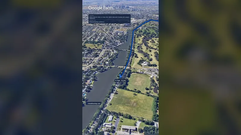 Imagery: Google Earth0:58 film
New Orleans, United States
Sat 14 Nov42.2 kmClimb 15 m
Climb summed after smoothing the heights over 1 km. The edge is this course's height profile on one scale for every race: 250 m above its lowest point fills it.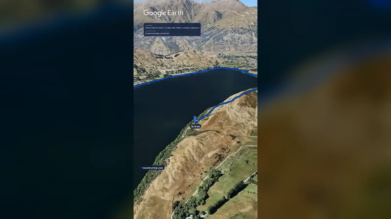 Imagery: Google Earth0:58 film
Queenstown, New Zealand
Sat 14 Nov42.2 kmClimb 139 m
Climb summed after smoothing the heights over 1 km. The edge is this course's height profile on one scale for every race: 250 m above its lowest point fills it.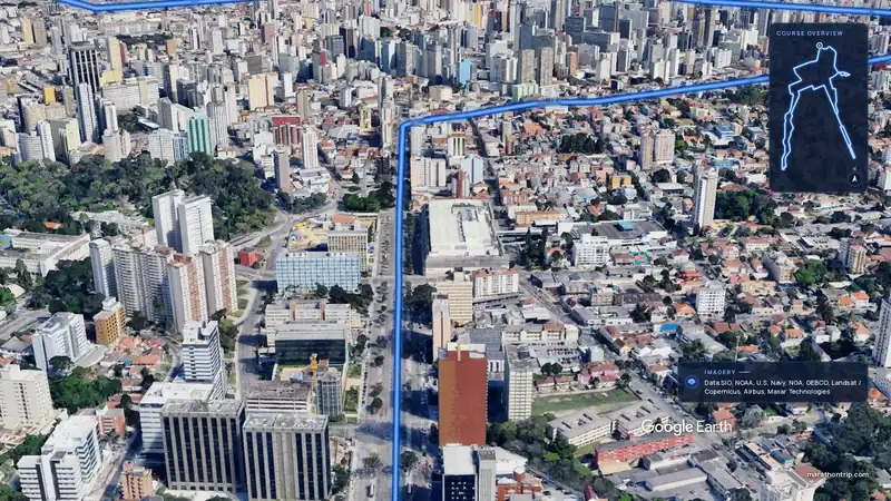 Imagery: Google Earth3:51 filmEntry open
Curitiba, Brazil
Sun 15 Nov42.2 kmClimb 128 m
Climb summed after smoothing the heights over 1 km. The edge is this course's height profile on one scale for every race: 250 m above its lowest point fills it.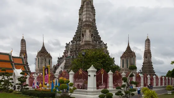
Bangkok, Thailand
Sun 29 Nov42.2 kmClimb 31 m
Climb summed after smoothing the heights over 1 km. The edge is this course's height profile on one scale for every race: 250 m above its lowest point fills it. Photo: Wat Arun, by Diego Delso, CC BY-SA 3.0, via Wikimedia Commons.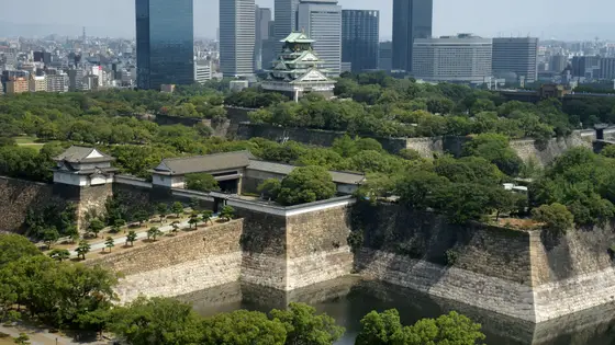
Osaka, Japan
Sun 28 Feb 202742.2 kmClimb 34 m
Climb summed after smoothing the heights over 1 km. The edge is this course's height profile on one scale for every race: 250 m above its lowest point fills it. Photo: Osaka Castle, by 663highland, CC BY 2.5, via Wikimedia Commons.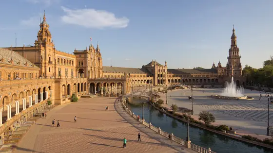 Sold out
Seville, Spain
Sun 21 Feb 202742.2 kmClimb 29 m
Climb summed after smoothing the heights over 1 km. The edge is this course's height profile on one scale for every race: 250 m above its lowest point fills it. Photo: Plaza de España, by Carlos Delgado, CC BY-SA 4.0, via Wikimedia Commons.Yes. It has 32.6 m of climbing over 42.2 km. The highest point is 9 m above the lowest.
Sunday 15 November 2026. The first wave starts at 09:00 and the last at 09:15.
The 2026 ballot has closed. It opened on 17 April 2026, closed on 1 June and the results came out on 2 July. There are 2 ways in: Ballot and Places for runners living outside Japan. Entry fee: JP¥18,000 (for the 2026 race). Entry details on the organiser’s site
Runners have 7 hours to finish. The finish closes at 16:00.
Start: In front of Kobe City Hall.
19,448 runners finished in 2019.