
Entry through the organiser
Entry details on the organiser’s site →
The organiser, a third party. We take no entries and have no part in the race.
 Marathon Trip
Your trips on every device: sign in, or make a free account when you save one.
Signed in on this browser.
Sign in My marathons Account and dataLocked out? An export link you keep still opens your list in any browser.
No account: email it to me
One email with this trip and a link to open it again. We do not keep the address and send nothing else.
Only a race from our list can be emailed. An account keeps this one.
What we keep, and what we do notCheck your inbox at to confirm it.
Browse the racesEach edition the day it comes out, and nothing else. Off again with one click. How it is kept.
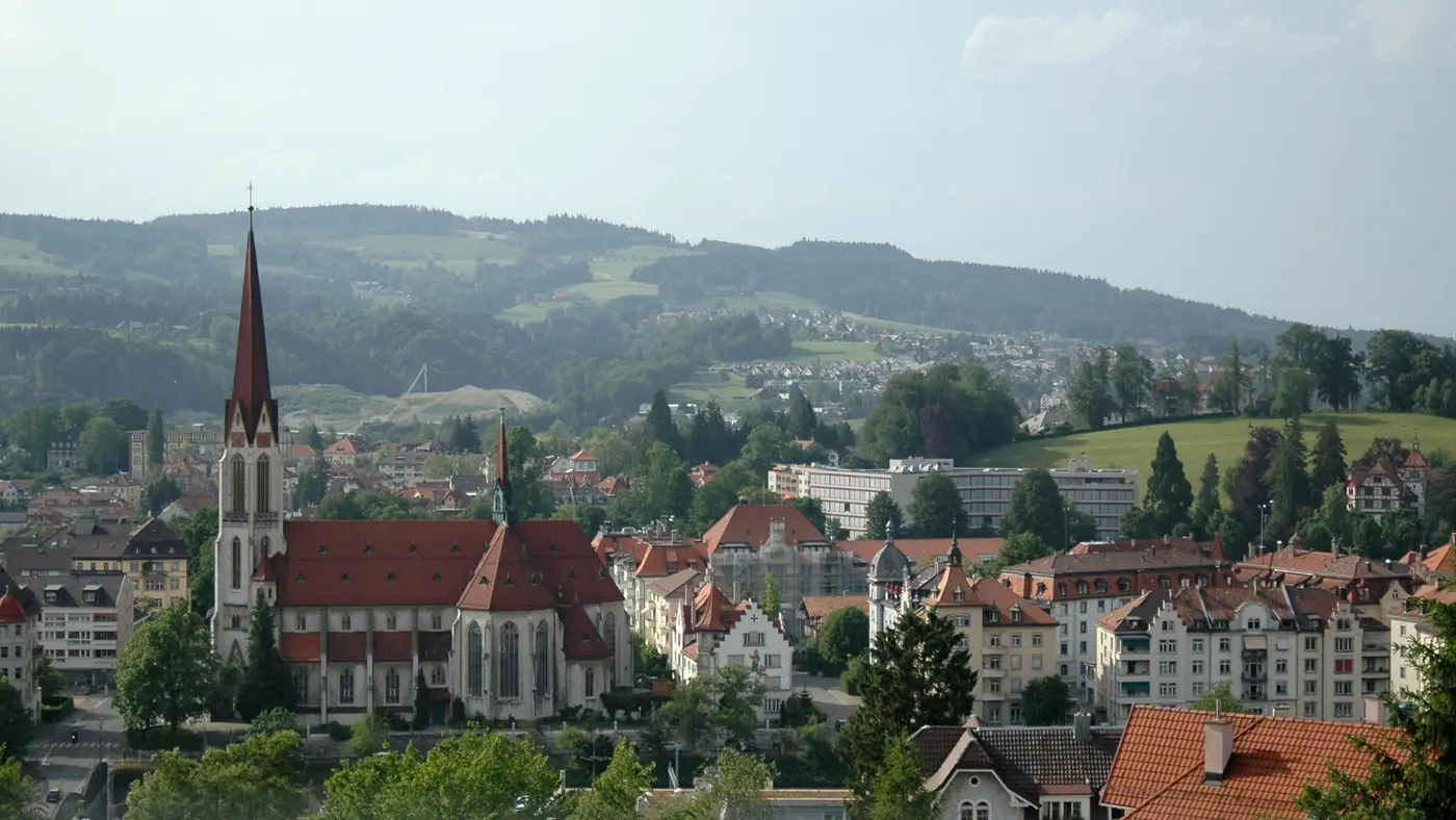
Downhill from km 4 to km 15, then a climb of 86 m home.
© OpenStreetMap contributors
km 2.1mile 1.3
The organiser's course page sends the half marathon east past the Gübsensee after the first kilometre, up the 260 m climb of its hill sprint.
km 9.1mile 5.6
The course reaches the old town centre after the goods yard, then runs through Multergasse and Spisergasse towards the Klosterplatz beside the abbey.
Photo: Jakub Hałun, CC BY 4.0
km 11.6mile 7.2
Past the Klosterplatz the course drops over the Kreuzbleiche down into the Sittertobel.
Height drawn many times taller than life. Heights: GEDTM30.
Dashed: bridge

Your 2 gels, at the orange marksFor a 1:55 finish, one every 40 minutes
Get them on AmazonAmazon partner link
The organiser’s course page starts the half marathon at the Stadion St.Gallen, the largest football stadium in eastern Switzerland, in the west of the city. After a kilometre the route turns east past the Gübsensee and on over the goods yard into the centre. It passes the Roter Platz, runs through Multergasse and Spisergasse, crosses the Klosterplatz and goes down over the Kreuzbleiche into the Sittertobel. The Siebenbrückenweg and the open-air grounds lead back to the stadium, where the finish is.
Sourced
On the 2026 half marathon the organiser scored a mountain-sprint classification, the New Balance Hill Challenge, over the 260 m climb up to the Gübsensee, with a CHF 200 voucher for the fastest woman and man on each distance. Its course page gives the whole half marathon as 319 m up and 321 m down.
Sourced
The road starts at 656 m and finishes at 653 m above sea level and spans 122 m from its lowest point to its highest. The high point, 689 m, comes at 5.7 km, and the low point, 567 m, at 14.5 km. The climb totals 172 m; the organiser’s own figure is 319 m.
Measured
The Auffahrtslauf St. Gallen is a hilly course of 21.1 km with 172.2 m of climbing. Its lowest point is 567 m and its highest 689 m above sea level.
Entry through the organiser
The organiser, a third party. We take no entries and have no part in the race.
More races to look at after the Auffahrtslauf St. Gallen.
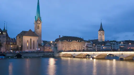
Zurich, Switzerland
Sun 11 Apr 202742.2 kmClimb 27 m
Climb summed after smoothing the heights over 1 km. The edge is this course's height profile on one scale for every race: 250 m above its lowest point fills it. Photo: Zürich, by Ikiwaner, CC BY-SA 3.0, via Wikimedia Commons.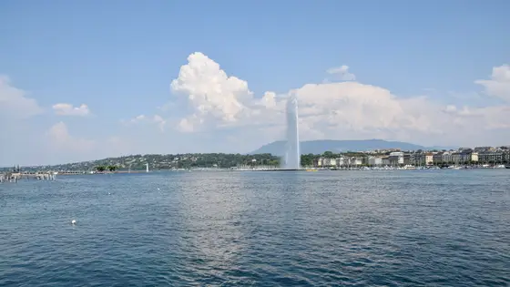
Geneva, Switzerland
Sun 9 May 202742.2 kmClimb 79 m
Climb summed after smoothing the heights over 1 km. The edge is this course's height profile on one scale for every race: 250 m above its lowest point fills it. Photo: Jet d'Eau, by Ank Kumar, CC BY-SA 4.0, via Wikimedia Commons.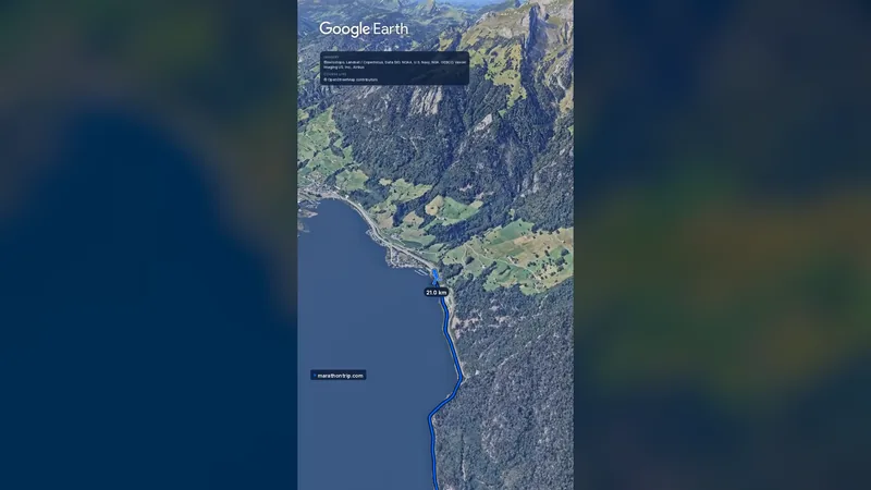 Imagery: Google Earth0:58 film
Lucerne, Switzerland
Sun 31 Oct 202742.2 kmClimb 105 m
Climb summed after smoothing the heights over 1 km. The edge is this course's height profile on one scale for every race: 250 m above its lowest point fills it.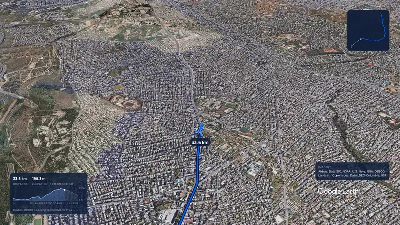 Imagery: Google Earth3:56 filmRace week
Athens, Greece
Sun 8 Nov42.2 kmClimb 281 m
Climb summed after smoothing the heights over 1 km. The edge is this course's height profile on one scale for every race: 250 m above its lowest point fills it.Imagery: Google Earth3:56 filmRace weekAthens, Greece
Sun 8 Nov42.2 kmClimb 281 m
Climb summed after smoothing the heights over 1 km. The edge is this course's height profile on one scale for every race: 250 m above its lowest point fills it.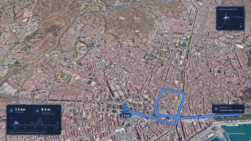 Imagery: Google Earth3:50 filmRace week
Malaga, Spain
Sun 8 Nov42.2 kmClimb 63 m
Climb summed after smoothing the heights over 1 km. The edge is this course's height profile on one scale for every race: 250 m above its lowest point fills it.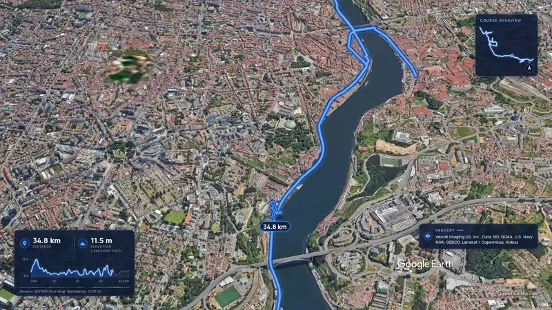 Imagery: Google Earth3:53 filmRace week
Porto, Portugal
Sun 8 Nov42.2 kmClimb 133 m
Climb summed after smoothing the heights over 1 km. The edge is this course's height profile on one scale for every race: 250 m above its lowest point fills it.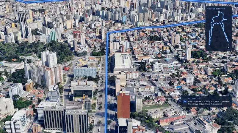 Imagery: Google Earth3:51 filmEntry open
Curitiba, Brazil
Sun 15 Nov42.2 kmClimb 128 m
Climb summed after smoothing the heights over 1 km. The edge is this course's height profile on one scale for every race: 250 m above its lowest point fills it.