
Entry through the organiser
Entry details on the organiser’s site →
The organiser, a third party. We take no entries and have no part in the race.
 Marathon Trip
Your trips on every device: sign in, or make a free account when you save one.
Signed in on this browser.
Sign in My marathons Account and dataLocked out? An export link you keep still opens your list in any browser.
No account: email it to me
One email with this trip and a link to open it again. We do not keep the address and send nothing else.
Only a race from our list can be emailed. An account keeps this one.
What we keep, and what we do notCheck your inbox at to confirm it.
Browse the racesEach edition the day it comes out, and nothing else. Off again with one click. How it is kept.
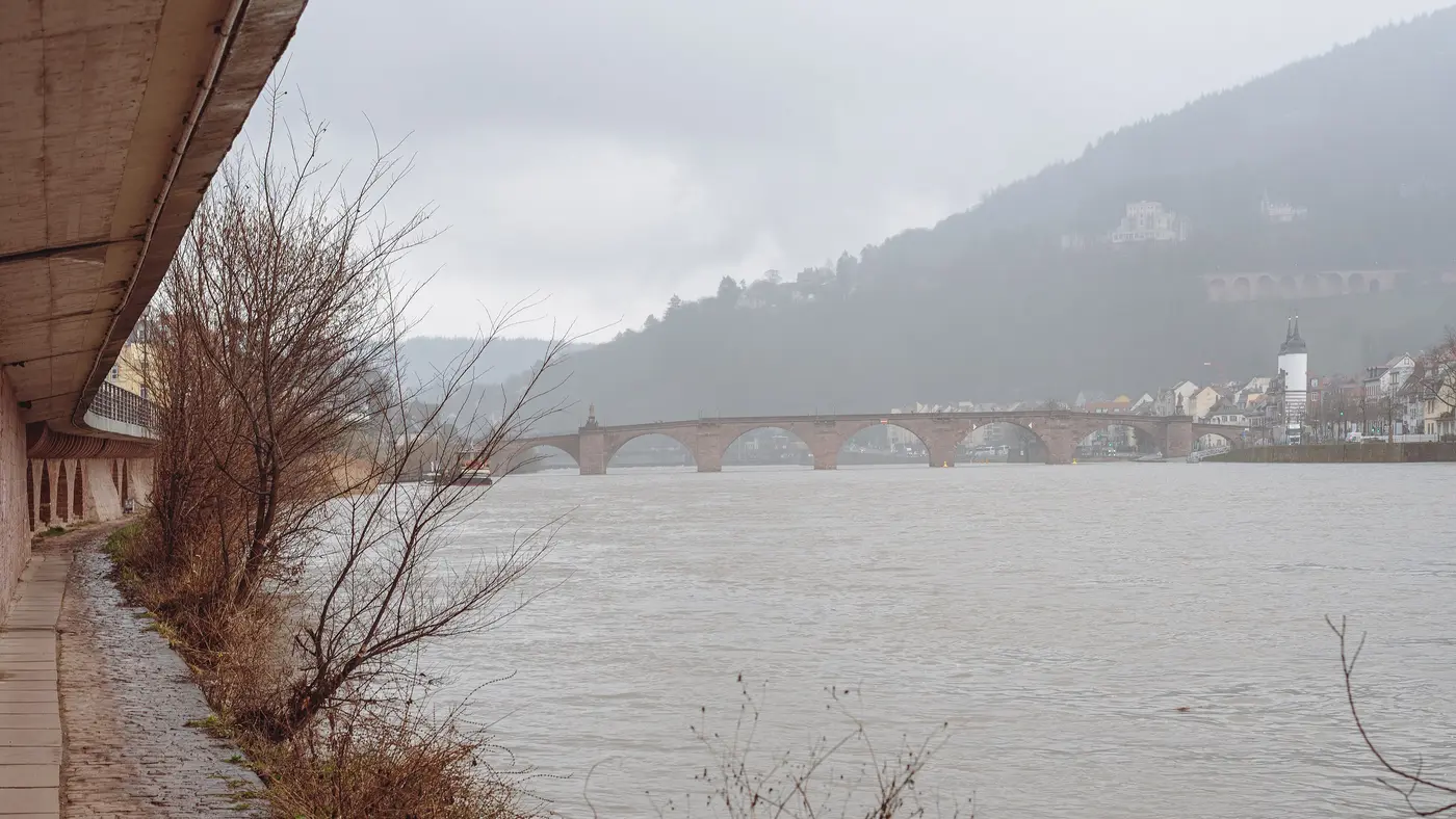
Flat to km 6, a steep climb of 158 m to km 10, then downhill home.
© OpenStreetMap contributors
km 2.1mile 1.3
The course runs along the Hauptstrasse past the church in the first 2 km.
Photo: No machine-readable author provided. Hlohning assumed (based on copyright claims)., CC BY 2.5
km 19.1mile 11.9
km 21.1mile 13.1
The finish is on the Uniplatz in front of the university buildings.
Height drawn many times taller than life. Heights: GEDTM30.
Dashed: bridge

Your 2 gels, at the orange marksFor a 1:55 finish, one every 40 minutes
Get them on AmazonAmazon partner link
The first 6.5 km stay between 110 and 121 m beside the Neckar. The road then climbs 158 m in 3.7 km. A second, shorter rise takes the road from 124.6 m at 16 km to about 219 m at 18.5 km before the final descent to the finish at 121 m. Climbing totals 275.9 m.
Measured
The route runs Friedrich-Ebert-Anlage, Sofienstraße, Hauptstraße, Fischmarkt, Steingasse and the Alte Brücke, then Neuenheimer Landstraße and Uferstraße on the north bank. It takes the Philosophenweg, Haarlassweg and Stiftweg out toward Kleingemünd. The 2026 start was on the Friedrich-Ebert-Anlage at the university library, with the finish party on the Uniplatz.
Sourced
The ATOS Halbmarathon Heidelberg is a hilly course of 21.1 km with 275.9 m of climbing. Its lowest point is 110 m and its highest 276 m above sea level.
Entry through the organiser
The organiser, a third party. We take no entries and have no part in the race.
More races to look at after the ATOS Halbmarathon Heidelberg.
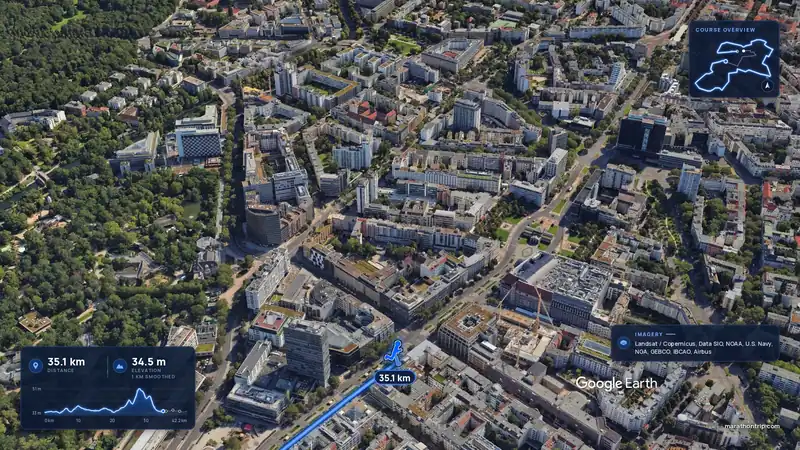 Imagery: Google Earth4:01 filmEntry closes 12 Nov
Berlin, Germany
Sun 26 Sep 202742.2 kmClimb 36 m
Climb summed after smoothing the heights over 1 km. The edge is this course's height profile on one scale for every race: 250 m above its lowest point fills it.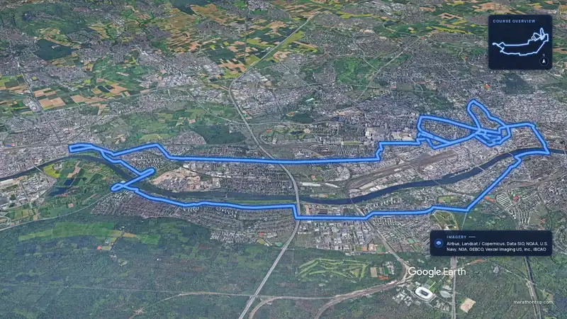 Imagery: Google Earth4:00 filmEntry open
Frankfurt, Germany
Sun 31 Oct 202742.2 kmClimb 44 m
Climb summed after smoothing the heights over 1 km. The edge is this course's height profile on one scale for every race: 250 m above its lowest point fills it.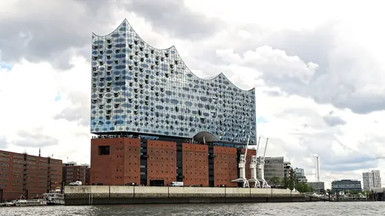
Hamburg, Germany
Sun 25 Apr 202742.2 kmClimb 98 m
Climb summed after smoothing the heights over 1 km. The edge is this course's height profile on one scale for every race: 250 m above its lowest point fills it. Photo: Elbphilharmonie, by Burkhard Mücke, CC BY-SA 4.0, via Wikimedia Commons.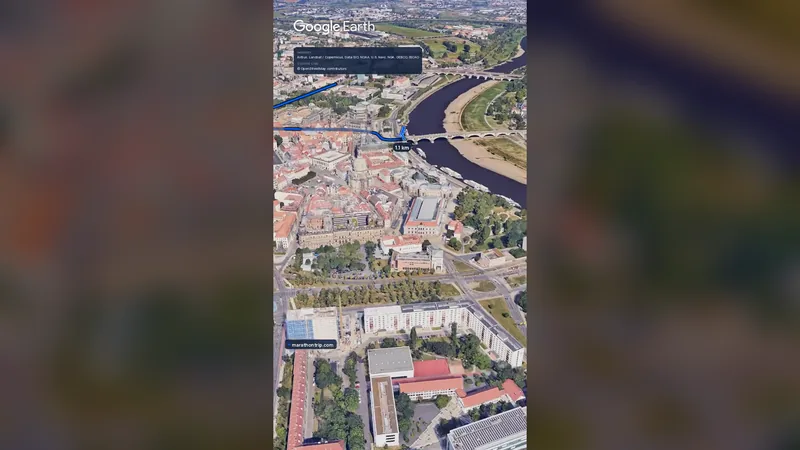 Imagery: Google Earth0:58 film
Dresden, Germany
Oct 202742.2 kmClimb 73 m
Climb summed after smoothing the heights over 1 km. The edge is this course's height profile on one scale for every race: 250 m above its lowest point fills it.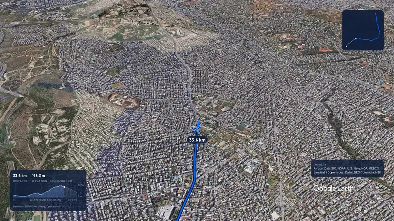 Imagery: Google Earth3:56 filmRace week
Athens, Greece
Sun 8 Nov42.2 kmClimb 281 m
Climb summed after smoothing the heights over 1 km. The edge is this course's height profile on one scale for every race: 250 m above its lowest point fills it.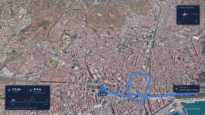 Imagery: Google Earth3:50 filmRace week
Malaga, Spain
Sun 8 Nov42.2 kmClimb 63 m
Climb summed after smoothing the heights over 1 km. The edge is this course's height profile on one scale for every race: 250 m above its lowest point fills it.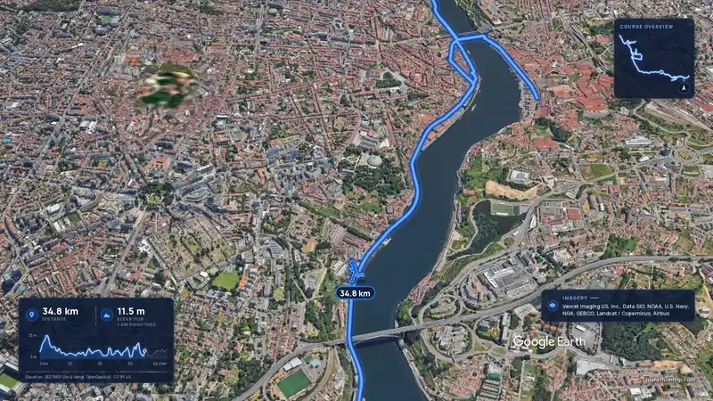 Imagery: Google Earth3:53 filmRace week
Porto, Portugal
Sun 8 Nov42.2 kmClimb 133 m
Climb summed after smoothing the heights over 1 km. The edge is this course's height profile on one scale for every race: 250 m above its lowest point fills it.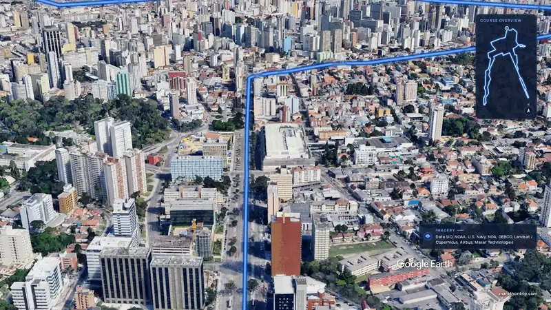 Imagery: Google Earth3:51 filmEntry open
Curitiba, Brazil
Sun 15 Nov42.2 kmClimb 128 m
Climb summed after smoothing the heights over 1 km. The edge is this course's height profile on one scale for every race: 250 m above its lowest point fills it.