
Entry through the organiser
Entry details on the organiser’s site →
The organiser, a third party. We take no entries and have no part in the race.
 Marathon Trip
Your trips on every device: sign in, or make a free account when you save one.
Signed in on this browser.
Sign in My marathons Account and dataLocked out? An export link you keep still opens your list in any browser.
No account: email it to me
One email with this trip and a link to open it again. We do not keep the address and send nothing else.
Only a race from our list can be emailed. An account keeps this one.
What we keep, and what we do notCheck your inbox at to confirm it.
Browse the racesEach edition the day it comes out, and nothing else. Off again with one click. How it is kept.
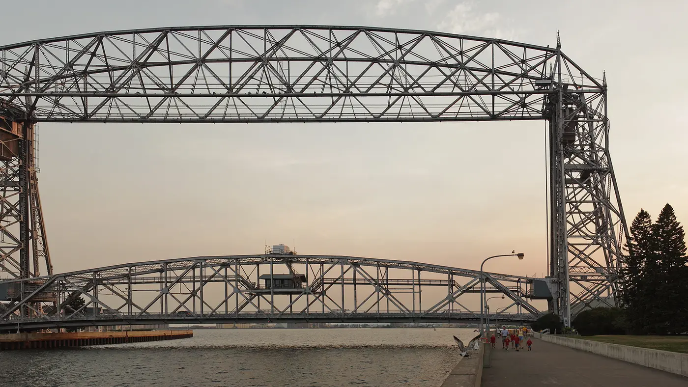
The marathon is a point-to-point course that starts north of Duluth near Two Harbors, runs along Scenic Highway 61 beside Lake Superior, then goes through downtown Duluth to finish in Canal Park.
The organiser describes a “picturesque, point-to-point 26.2-mile stretch along the beautiful shores of Lake Superior”, starting north of Duluth near Two Harbors and “hugging the shores of Lake Superior” on Scenic Highway 61. The road then takes runners through the heart of downtown Duluth to the finish in historic Canal Park.
Sourced
The organiser calls the course “rolling hills and a net downhill elevation” and publishes an elevation for every mile marker, noting that the figures are approximate and relative to sea level. Mile by mile the road is not a straight slide: the biggest single-mile drop in that table is 57 feet (about 17 m) between mile 9 and mile 10, and there are short rises in between. The table totals the whole course at minus 130 feet.
Sourced
The table shows 625 feet at mile 19, 655 at mile 20 and 672 at mile 21, a rise of 47 feet (about 14 m) over those two miles. After mile 21 the table reads 651, 657, 645, 636 and 611 feet at the mile 26 marker, and 610 feet at the finish, so from mile 21 to the finish the road loses 62 feet (about 19 m) with one small rise in the middle.
Sourced
Time not published
07:357:35 AM
07:407:40 AM
07:457:45 AM
Times as published by the organiser, in Duluth time, checked .
The forecast for Saturday
We hold no start time for this race, so the record is read at 09:009:00 AM, local time.
Add to calendar .ics file, times in Duluth time
Entry through the organiser
The organiser, a third party. We take no entries and have no part in the race.
More races to look at after the Grandma's Marathon.
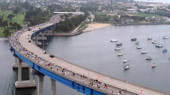
San Diego, United States
Sun 6 Jun 202742.2 km
Photo: San Diego–Coronado Bridge, by U.S. Navy photo by Photographer's Mate 2nd Class Larry S. Carlson, Public domain, via Wikimedia Commons.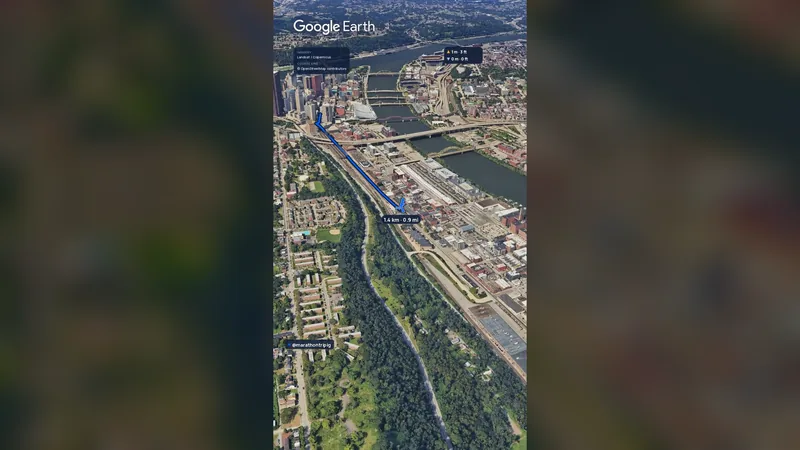 Imagery: Google Earth2:01 film
Pittsburgh, United States
Sun 2 May 202742.2 kmClimb 151 m
Climb summed after smoothing the heights over 1 km. The edge is this course's height profile on one scale for every race: 250 m above its lowest point fills it.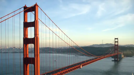
San Francisco, United States
Sun 25 Jul 202742.2 kmClimb 247 m
Climb summed after smoothing the heights over 1 km. The edge is this course's height profile on one scale for every race: 250 m above its lowest point fills it. Photo: Golden Gate Bridge, by Rich Niewiroski Jr., CC BY 2.5, via Wikimedia Commons.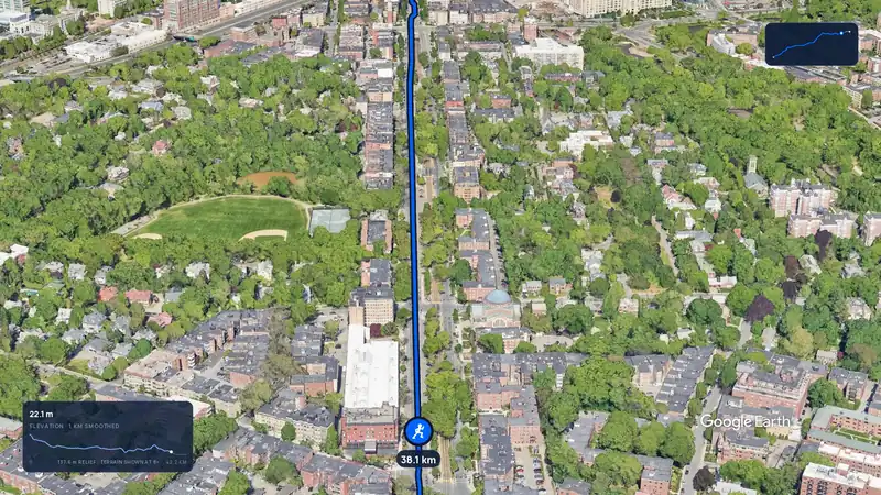 Imagery: Google Earth3:12 film
Boston, United States
Mon 19 Apr 202742.2 kmClimb 105 m
Climb summed after smoothing the heights over 1 km. The edge is this course's height profile on one scale for every race: 250 m above its lowest point fills it.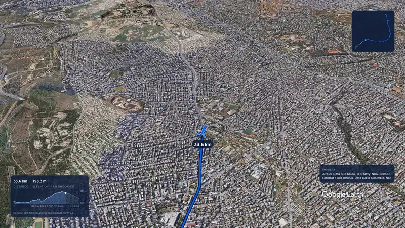 Imagery: Google Earth3:56 filmRace week
Athens, Greece
Sun 8 Nov42.2 kmClimb 281 m
Climb summed after smoothing the heights over 1 km. The edge is this course's height profile on one scale for every race: 250 m above its lowest point fills it.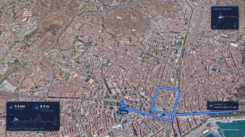 Imagery: Google Earth3:50 filmRace week
Malaga, Spain
Sun 8 Nov42.2 kmClimb 63 m
Climb summed after smoothing the heights over 1 km. The edge is this course's height profile on one scale for every race: 250 m above its lowest point fills it.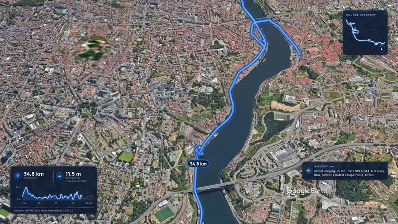 Imagery: Google Earth3:53 filmRace week
Porto, Portugal
Sun 8 Nov42.2 kmClimb 133 m
Climb summed after smoothing the heights over 1 km. The edge is this course's height profile on one scale for every race: 250 m above its lowest point fills it. Imagery: Google Earth3:51 filmEntry open
Curitiba, Brazil
Sun 15 Nov42.2 kmClimb 128 m
Climb summed after smoothing the heights over 1 km. The edge is this course's height profile on one scale for every race: 250 m above its lowest point fills it.