Skip to content

San Francisco Marathon

05:155:15 AM San Francisco
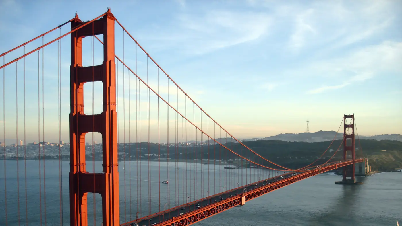
Golden Gate Bridge
© OpenStreetMap Golden Gate Bridge. Photograph by Rich Niewiroski Jr., CC BY 2.5 via Wikimedia Commons . Course line © OpenStreetMap contributors

The course

Pick a place, or drag along the profile

A climb of 73 m to km 14, another climb of 49 m from km 23 to km 27, then a steep drop from km 32 to km 35.

Start, finish

© OpenStreetMap contributors

  1. Photo: Rich Niewiroski Jr., CC BY 2.5

km 2.6mile 1.6

Fisherman's Wharf

The course runs through Fisherman's Wharf in the first 3 km, along the waterfront.

Height drawn many times taller than life. Heights: GEDTM30.

Course elevation profile, 8× vertical exaggeration Elevation along the course from km 0 to km 42. The trace runs between 2 and 86 metres, a range of 84 metres, drawn at 8 times vertical exaggeration so the shape is legible. Smoothed over 1 km before this profile was derived. An unsmoothed urban surface carries the buildings and would assert a climb that is not there. The dashed stretches are bridge decks: Golden Gate Bridge East Sidewalk, km 10.5 to 13.2; Golden Gate Bridge West Sidewalk, km 18.3 to 20.9; (unnamed span), km 40.1 to 40.2. A bare-earth model reads the ground or the water beneath a bridge, not the deck the runner is on, so those runs are interpolated between the ground either side rather than measured, and they under-report the real climb across a span.
0 10 20 30 40 km
0 10 20 26.2 mi

Dashed: bridge

  • climb to 14
  • climb to 27
  • steep drop to 35

Your 5 gels, at the orange marksFor a 4:00 finish, one every 40 minutes

  1. km 7mile 4.4
  2. km 14.1mile 8.7
  3. km 21.1mile 13.1
  4. km 28.1mile 17.5
  5. km 35.2mile 21.8

Get them on AmazonAmazon partner link

The course in short 3 lines
  • Nine flat kilometres along the waterfront, then the bridgeFlat for 9 km along the bay, then the road starts to climb toward the Golden Gate Bridge.
  • The Golden Gate Bridge, crossed out and backOut to the north side, a turn, and back across.
  • Golden Gate Park and the high point on Haight StreetEight km at height through the park, then 73 m of descent in the next 4 km.
Course notes 4 short reads on the course
km 0 to 10GradientNine flat kilometres along the waterfront, then the bridgeFlat for 9 km along the bay, then the road starts to climb toward the Golden Gate Bridge.

The race starts at Embarcadero at Market and runs along the bay. Past Fisherman’s Wharf, Marina Green and Crissy Field the road is never more than 11.4 m above the water.

The climb begins around km 9, where the road leaves the shore for the south end of the Golden Gate Bridge. By km 9.8 it is 26 m above sea level. This is the 2026 course.

Measured

km 10 to 21LandmarkThe Golden Gate Bridge, crossed out and backOut to the north side, a turn, and back across.

On the north side the road is 71 m above sea level at km 13.2 and tops out at 75.7 m at km 13.7. From there it falls 69 m to a low of 6.7 m at km 16.9, then climbs again to meet the bridge for the return.

After the second crossing the road is at 56 m at km 21.0 and reaches 76.5 m a kilometre later before dropping to 26 m by km 23.2. This is the 2026 course.

Measured

km 23 to 36GradientGolden Gate Park and the high point on Haight StreetEight km at height through the park, then 73 m of descent in the next 4 km.

After the bridge the road dips to 26 m at km 23.2, then climbs steadily into Golden Gate Park and stays up: 80 m at km 28, about 70 m from km 29 to km 30.5, and the top of the course at km 32.0.

Haight Street then goes downhill. The road is 56 m at km 33.0 and 13.4 m by km 36, a drop of about 73 m in four kilometres. This is the 2026 course.

Measured

km 36 to 42.2FinishA flat last 6 km past the ballpark to the Bay BridgeDown from Haight Street and flat to the finish by the Bay Bridge.

The last 6 km are the flattest stretch since the opening kilometres. The route passes the home of the Golden State Warriors around km 38.9 and the home of the San Francisco Giants around km 40.3, then follows the Embarcadero to the finish at Embarcadero at Howard, near where it began. The finish is under the Bay Bridge. This is the 2026 course.

Measured

Race fuel

Energy gel
An energy gel sachet
Illustration · drag to turn

5 gels for San Francisco, plus 1 spare

Finish

One every 40 minutes, the orange marks on the profile, by the clock:

  1. km 7mile 4.4
  2. km 14.1mile 8.7
  3. km 21.1mile 13.1
  4. km 28.1mile 17.5
  5. km 35.2mile 21.8

Our pick: SiS BETA Fuel gel, box of 6, strawberry and lime. 40 g of carbohydrate a gel, about twice a usual gel, from two kinds of sugar your body takes up side by side.

Easy to forget on race morning: pack them with your bib the night before.

Get it on Amazon

We earn a small fee if you buy through these links. The price is the same.

In Canada the button opens GU Energy Gel, Salted Caramel, 24-pack, the best seller there.

Outside the Netherlands, Belgium, Germany, Austria and Switzerland, the UK and Ireland, Spain and Portugal, Italy, the rest of the EU and Canada the button opens GU Energy Gel, Chocolate Outrage, 24-pack on Amazon.com, the best seller there.

Anti-chafe
Compeed Anti-blister stick
Photo: Compeed

Compeed

Compeed anti-blister stick, 8 ml

Best selling on Amazon amazon.nl, read 2 Nov

An invisible layer before the start keeps seams, straps and shoes from rubbing skin raw.

Put it on before you leave for the start: heels and toes, inner thighs, under a bra or heart-rate strap.

Try it on a long run first, like everything you use on race day.

Get it on Amazon

We earn a small fee if you buy through these links. The price is the same.

Number belt
A race number belt
Illustration · drag to turn

Compressport Race Belt

Holds your bib without safety pins through your top, with loops for up to 8 gels.

Clip the bib on the night before, so it goes on with your shorts in the morning.

Keep the number on the front, where officials and photographers can see it.

Get it on Amazon

We earn a small fee if you buy through these links. The price is the same.

Electrolytes
A tube of electrolyte tablets
Illustration · drag to turn

SiS Hydro electrolyte tablets, tube of 20

One tablet in a bottle puts back some of the salt you sweat out.

One tablet in 500 ml of water in the hour before the start.

Only if you have used them in training: nothing new on race day.

Get it on Amazon

We earn a small fee if you buy through these links. The price is the same.

Blister plasters
Compeed Blister plasters, medium, 6
Photo: Compeed

Compeed

Compeed blister plasters, medium, 6

Best selling on Amazon amazon.nl, read 2 Nov

One in a pocket cushions a blister if one starts.

Put it on clean, dry skin and leave it until it comes off by itself.

Give a couple to whoever comes to cheer, so they are there at the km you need them.

Get it on Amazon

We earn a small fee if you buy through these links. The price is the same.

At a glance

distance
42.2 km26.2 mi
Loop, asphalt
climb
247.4 m812 ft
Highest point 84 m above lowest
cut-off
6:00 h
6 hours
finishers
6,614
Finishers in 2025
first held
1977

From the Embarcadero along the bay, over the Golden Gate Bridge and back, through Golden Gate Park and down Haight Street to a finish under the Bay Bridge.

The San Francisco Marathon is a hilly loop of 42.2 km (26.2 miles) with 247.4 m (812 ft) of climbing. Its lowest point is 2 m (7 ft) and its highest 86 m (282 ft) above sea level. Next race: Sunday 25 July 2027, starting at 5:15 AM.

Race week

Timetable

Sunday 25 July Race day

  1. 05:155:15 AM

    Marathon start, corral A Embarcadero at Market. The four corrals leave five minutes apart.
  2. 05:205:20 AM

    Corral B
  3. 05:255:25 AM

    Corral C
  4. 05:305:30 AM

    Corral D
Cut-offs (6)
  1. until 08:258:25 AM

    Golden Gate Bridge: east sidewalk All Full and 1st Half runners must be on the east sidewalk of the Golden Gate Bridge. The cut-off is at the Golden Gate Welcome Center Gate.
  2. until 08:508:50 AM

    Golden Gate Bridge: North Vista Point All Full and 1st Half Marathon runners must be at North Vista Point. Later participants take the catwalk underneath the bridge.
  3. until 09:459:45 AM

    Golden Gate Bridge: west sidewalk All Full and 1st Half Marathon runners must be on the west sidewalk. The cut-off is at Dillingham Lot, where a SAG bus is in place.
  4. until 10:0010:00 AM

    Out of the Presidio All Full Marathon runners must be out of the Presidio at Lincoln Blvd. and El Camino Del Mar.
  5. until 10:3510:35 AM

    Out of Golden Gate Park All Full and 2nd Half runners must be at Haight Street and out of Golden Gate Park.
  6. Time not published

    Overall time limit 6 hours to finish as an official finisher. The finish is at Embarcadero at Howard.

Times as published by The San Francisco Marathon, in San Francisco time, checked .

Add to calendar .ics file, times in San Francisco time

Trip

Getting a place

Entry through the organiser

Entry details on the organiser’s site →

The San Francisco Marathon, a third party. We take no entries and have no part in the race.

Make your postcard

Keep exploring

A course like this

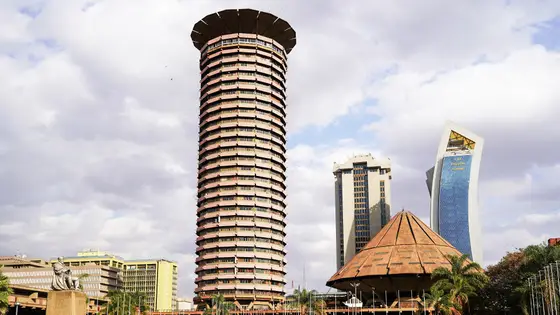
  • Kenyatta International Convention Centre, Nairobi

    Nairobi Marathon

    Nairobi, Kenya

    Oct 202742.2 kmClimb 238 m

    Climb summed after smoothing the heights over 1 km. The edge is this course's height profile on one scale for every race: 250 m above its lowest point fills it. Photo: Kenyatta International Convention Centre, by IndicibleEspace, CC BY-SA 4.0, via Wikimedia Commons.
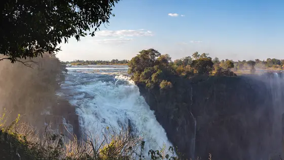
  • Victoria Falls

    Victoria Falls Marathon

    Victoria Falls, Zimbabwe

    Sun 4 Jul 202742.2 kmClimb 270 m

    Climb summed after smoothing the heights over 1 km. The edge is this course's height profile on one scale for every race: 250 m above its lowest point fills it. Photo: Victoria Falls, by Diego Delso, CC BY-SA 4.0, via Wikimedia Commons.
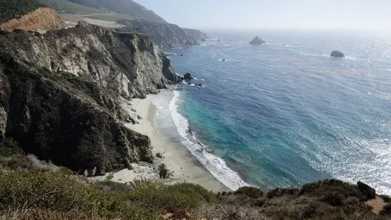
  • Bixby Creek Bridge, Big Sur

    Big Sur International Marathon

    Big Sur, United States

    Sun 25 Apr 202742.2 kmClimb 288 m

    Climb summed after smoothing the heights over 1 km. The edge is this course's height profile on one scale for every race: 250 m above its lowest point fills it. Photo: Bixby Creek Bridge, by Tuxyso, CC BY-SA 3.0, via Wikimedia Commons.

Questions about the San Francisco Marathon

Is the San Francisco Marathon course flat?

No, it is a hilly course: 247.4 m (812 ft) of climbing over 42.2 km (26.2 miles). The highest point is 84 m (276 ft) above the lowest.

When is the San Francisco Marathon 2027?

Sunday 25 July 2027. The start is at 5:15 AM.

What is the time limit at the San Francisco Marathon?

Runners have 6 hours to finish.

1 more question
How many runners finish the San Francisco Marathon?

6,614 runners finished in 2025.

More about the race

Sources and licence

Last checked.

Course line matched onto OpenStreetMap road geometry: (c) OpenStreetMap contributors, Open Database License 1.0 (ODbL). Elevation sampled from GEDTM30, Global Ensemble Digital Terrain Model at 30 m (v1.2): Elevation: GEDTM30 (Ho & Hengl, OpenGeoHub), CC BY 4.0, Creative Commons Attribution 4.0 International (CC BY 4.0).

Elevation gain computed by us from that line, smoothed over 1 kmsmoothed over 0.6 mi.

The line follows the road down its middle, so it measures 2.19% longer than the certified distance, which is measured on the shortest legal line through every bend.

Date and entry information from The San Francisco Marathon.

Every source and licence behind them →

More races in the United States and in July