
Entry through the organiser
Entry details on the organiser’s site →
GSi Events Ltd, a third party. We take no entries and have no part in the race.
 Marathon Trip
Your trips on every device: sign in, or make a free account when you save one.
Signed in on this browser.
Sign in My marathons Account and dataLocked out? An export link you keep still opens your list in any browser.
No account: email it to me
One email with this trip and a link to open it again. We do not keep the address and send nothing else.
Only a race from our list can be emailed. An account keeps this one.
What we keep, and what we do notCheck your inbox at to confirm it.
Browse the racesEach edition the day it comes out, and nothing else. Off again with one click. How it is kept.
Downhill to km 8, then flat home.
© OpenStreetMap contributors
km 0mile 0
km 0.3mile 0.2
Photo: RGuy02, CC0
km 0.6mile 0.4
Photo: rboed*, CC BY 2.0
km 0.9mile 0.5
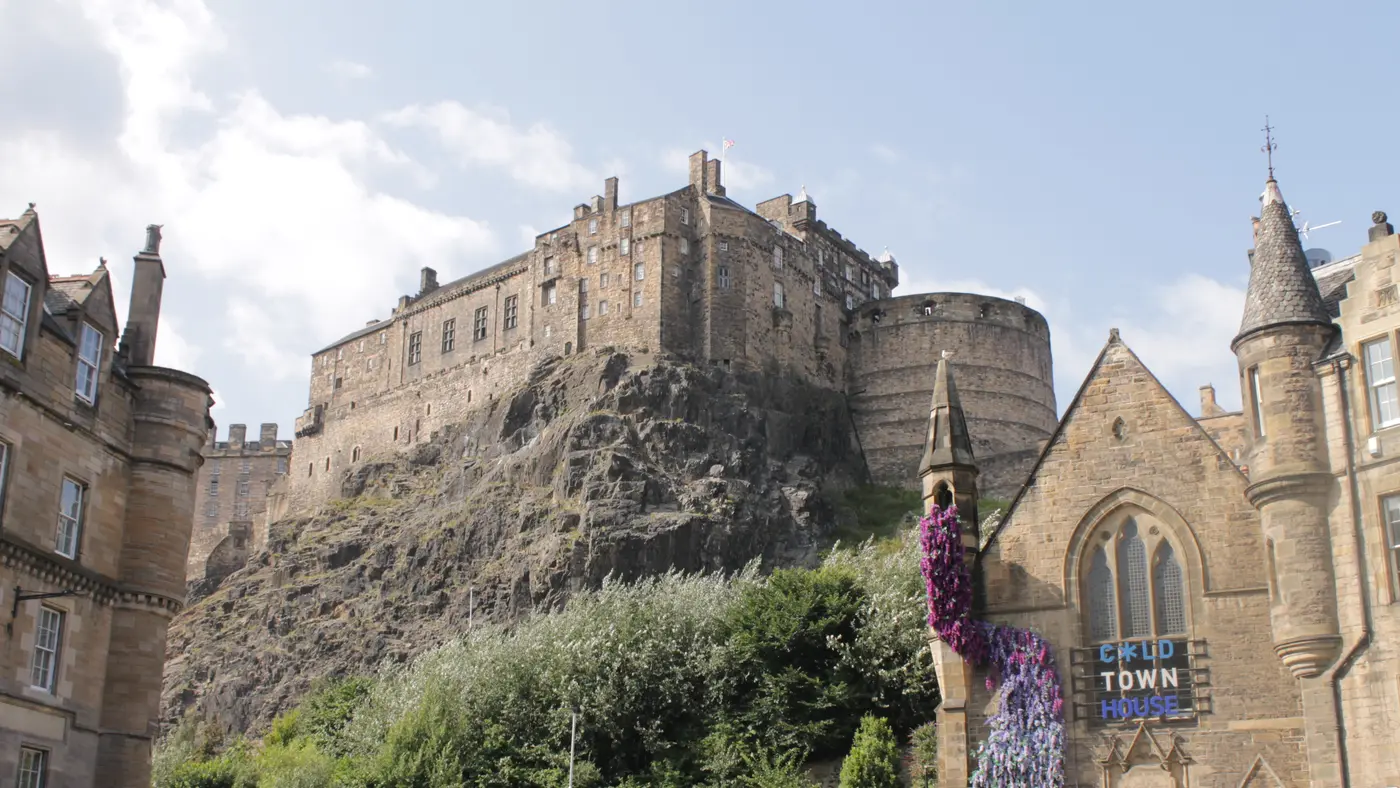
The castle is 331 m from the line, seen across the Mound and Princes Street Gardens.
Photo: Peulle, CC BY 4.0
km 1.3mile 0.8
Photo: No machine-readable author provided. Schatir assumed (based on copyright claims)., Public domain
km 2.6mile 1.6
Photo: Darren J. Prior, CC BY 4.0
km 2.9mile 1.8
Photo: Saffron Blaze, CC BY 3.0
km 9.8mile 6.1
km 16.4mile 10.2
Photo: Renata ( talk ), Public domain
km 29.1mile 18.1
Photo: Unoquha, CC0
km 42.2mile 26.2
Height drawn many times taller than life. Heights: GEDTM30.
Dashed: bridge

Your 5 gels, at the orange marksFor a 4:00 finish, one every 40 minutes
Get them on AmazonAmazon partner link
Most of what this course has in the way of hills is in its first few kilometres, and all of it is downhill. The elevation profile starts at 89.7 m in the Old Town, is at 35.6 m by km 5 and at 4.3 m by km 10. From there to the finish on the Musselburgh shore the road stays between 3.1 m and 11.4 m above sea level, and it finishes at 5.0 m, 84.7 m below where it began.
In total the course climbs 38.8 m, which is all in small steps along the coast. The organiser calls it “fast & flat” and says Runners World voted it the fastest marathon in the UK.
Measured
From the organiser’s FAQ: “The Marathon and Half Marathon courses has been measured by an AIMS certified measurer and meets all domestic and international measure criteria. Therefore, times from the Marathon and Half Marathon can be submitted as qualifying times for other international marathons with full confidence.” The same answer adds that the organisers of the other marathons have the final say on whether they accept a qualifying time.
Sourced
The FAQ is plain on three points. “No. There are no pacers at this event.” The marathon has “a strict maximum cut off time of 6 hours 30 minutes”, counted “from when the back of the race crosses the start line”. And a sweeper bus follows the back of the race at the pace of the course time limit: a runner passed by it is asked to get on and is taken back to the finish area. A runner who misses the limit gets no result and no finisher’s pack or medal.
Sourced
A point to point course from Edinburgh's Old Town past the Castle and Holyrood Park, then east along the coast to a finish on the Musselburgh shore, on one of the flattest routes in the UK.
The Edinburgh Marathon is a flat point-to-point course of 42.2 km with 38.8 m of climbing. Its lowest point is 3 m and its highest 91 m above sea level. Next race: Sunday 30 May 2027, starting at 10:00.
10:0010:00 AM
Time not published
Times as published by GSi Events Ltd, in Edinburgh time, checked .
The forecast for Sunday
Add to calendar .ics file, times in Edinburgh time
Entry through the organiser
GSi Events Ltd, a third party. We take no entries and have no part in the race.
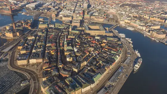
Stockholm, Sweden
Sat 29 May 202742.2 kmClimb 138 m
Climb summed after smoothing the heights over 1 km. The edge is this course's height profile on one scale for every race: 250 m above its lowest point fills it. Photo: Gamla stan, by Arild Vågen, CC BY-SA 3.0, via Wikimedia Commons.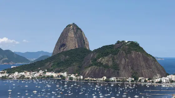
Rio de Janeiro, Brazil
Sun 30 May 202742.2 kmClimb 110 m
Climb summed after smoothing the heights over 1 km. The edge is this course's height profile on one scale for every race: 250 m above its lowest point fills it. Photo: Sugarloaf Mountain, by Arne Müseler, CC BY-SA 3.0 de, via Wikimedia Commons.
Ottawa, Canada
Sun 30 May 202742.2 kmClimb 99 m
Climb summed after smoothing the heights over 1 km. The edge is this course's height profile on one scale for every race: 250 m above its lowest point fills it. Photo: Parliament Hill, by David Samuel, User:Hellodavey1902, CC BY-SA 3.0, via Wikimedia Commons.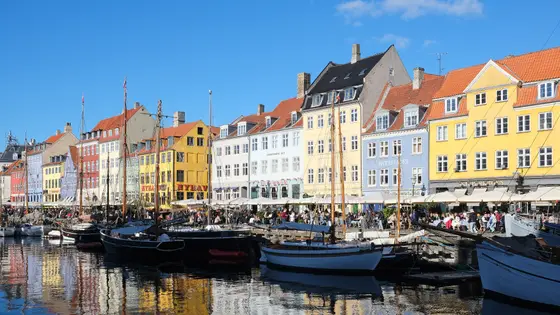
Copenhagen, Denmark
Sun 9 May 202742.2 kmClimb 69 m
Climb summed after smoothing the heights over 1 km. The edge is this course's height profile on one scale for every race: 250 m above its lowest point fills it. Photo: Nyhavn, by kallerna, CC BY-SA 4.0, via Wikimedia Commons.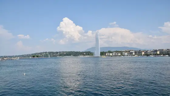
Geneva, Switzerland
Sun 9 May 202742.2 kmClimb 79 m
Climb summed after smoothing the heights over 1 km. The edge is this course's height profile on one scale for every race: 250 m above its lowest point fills it. Photo: Jet d'Eau, by Ank Kumar, CC BY-SA 4.0, via Wikimedia Commons.
Prague, Czechia
Sun 2 May 202742.2 kmClimb 98 m
Climb summed after smoothing the heights over 1 km. The edge is this course's height profile on one scale for every race: 250 m above its lowest point fills it. Photo: Charles Bridge, by Dietmar Rabich, CC BY-SA 4.0, via Wikimedia Commons.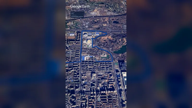 Imagery: Google Earth0:59 film
Beijing, China
Oct 202742.2 kmClimb 41 m
Climb summed after smoothing the heights over 1 km. The edge is this course's height profile on one scale for every race: 250 m above its lowest point fills it.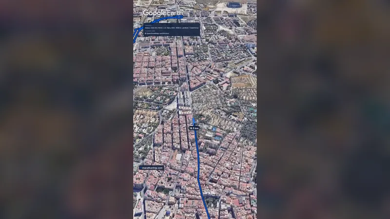 Imagery: Google Earth1:16 filmEntry open
Alicante, Spain
Sun 13 Dec42.2 kmClimb 41 m
Climb summed after smoothing the heights over 1 km. The edge is this course's height profile on one scale for every race: 250 m above its lowest point fills it.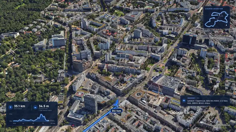 Imagery: Google Earth4:01 filmEntry closes 12 Nov
Berlin, Germany
Sun 26 Sep 202742.2 kmClimb 36 m
Climb summed after smoothing the heights over 1 km. The edge is this course's height profile on one scale for every race: 250 m above its lowest point fills it.Yes. It has 38.8 m of climbing over 42.2 km. The highest point is 88 m above the lowest. It finishes 85 m lower than it starts.
Sunday 30 May 2027. The start is at 10:00.
Entry is through the organiser. Entry fee: £84.50 (for the 2027 race). Entry details on the organiser’s site
Runners have 6 h 30 min to finish.
6,596 runners finished in 2016.