
 Sold out
Walt Disney World Marathon
Orlando, United States
Sun 10 Jan 202742.2 km
Photo: Lake Eola Park, by OrlandoThings.com, CC BY-SA 4.0, via Wikimedia Commons. Marathon Trip
Your trips on every device: sign in, or make a free account when you save one.
Signed in on this browser.
Sign in My marathons Account and dataLocked out? An export link you keep still opens your list in any browser.
No account: email it to me
One email with this trip and a link to open it again. We do not keep the address and send nothing else.
Only a race from our list can be emailed. An account keeps this one.
What we keep, and what we do notCheck your inbox at to confirm it.
Browse the racesEach edition the day it comes out, and nothing else. Off again with one click. How it is kept.
Downhill home.
© OpenStreetMap contributors
km 19.5mile 12.1
The organiser sends the last miles through the University of Texas campus, and the course passes the Gregory Gym around 19.5 km.
Photo: Enoch Lai at English Wikipedia, Public domain
km 21.1mile 13.1
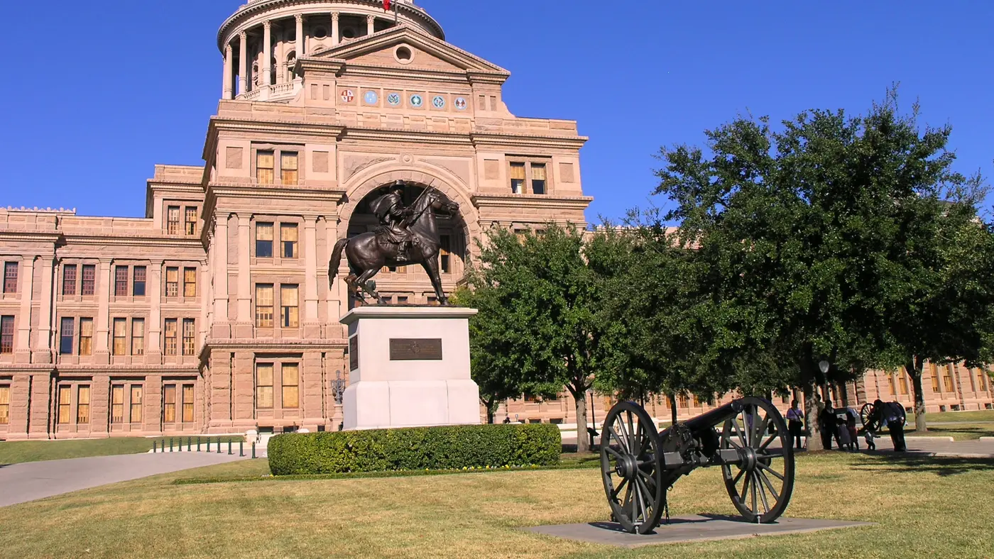
The finish line is at 14th and San Jacinto, right next to the Texas State Capitol.
Photo: LoneStarMike, CC BY 3.0
Height drawn many times taller than life. Heights: GEDTM30.
Dashed: bridge

Your 2 gels, at the orange marksFor a 1:55 finish, one every 40 minutes
Get them on AmazonAmazon partner link
The route runs from 260.9 m to 158.9 m, with its high point of 262.0 m at 0.8 km and its low point of 158.6 m near the finish. Climbing totals 13.7 m, so almost every kilometre either descends or is flat. The organiser’s own description, Downhill to Downtown, sets the same shape: a gentle descent from Stonelake Boulevard in miles 1 to 3, the downhill trend down Shoal Creek in miles 4 to 6, and a steady decline through the University of Texas campus to the finish.
Measured
The organiser splits the route into four parts: a gentle descent from Stonelake Boulevard in miles 1 to 3; north Austin and then down Shoal Creek in miles 4 to 6; tree-lined streets and local spots after a gel at the Energy Zone in miles 7 to 9; and the University of Texas campus in miles 10 to 13.1, finishing beside the Texas State Capitol. The finish has an after party, spinner finisher medals and a PR Gong. The start is in front of the Regal Gateway Theater.
Sourced
The wheelchair start is at 7:25 and the half marathon at 7:30, with the first finisher expected at 8:30. Walkers are welcome if they can finish within the four hours, which the organiser puts at about an 18 minute per mile pace. Shuttle buses carry runners from the finish back to the start area from 8:45, the last leaving at 12:15. The race was known as the 3M Half Marathon before it became the Spurs Austin International Half.
Sourced
The 3M Half Marathon is a flat course of 21.1 km (13.1 miles) with 13.7 m (45 ft) of climbing. Its lowest point is 159 m (522 ft) and its highest 262 m (860 ft) above sea level.
13:001:00 PM–19:007:00 PM
10:0010:00 AM–17:005:00 PM
06:006:00 AM
08:008:00 AM
08:308:30 AM
08:458:45 AM
11:3011:30 AM
07:257:25 AM
07:307:30 AM
Times as published by the organiser, in Austin time, checked .
Add to calendar .ics file, times in Austin time
More races to look at after the 3M Half Marathon.
Sold outOrlando, United States
Sun 10 Jan 202742.2 km
Photo: Lake Eola Park, by OrlandoThings.com, CC BY-SA 4.0, via Wikimedia Commons.
Miami, United States
Sun 31 Jan 202742.2 kmClimb 28 m
Climb summed after smoothing the heights over 1 km. The edge is this course's height profile on one scale for every race: 250 m above its lowest point fills it. Photo: South Beach, by Phillip Pessar, CC BY 4.0, via Wikimedia Commons.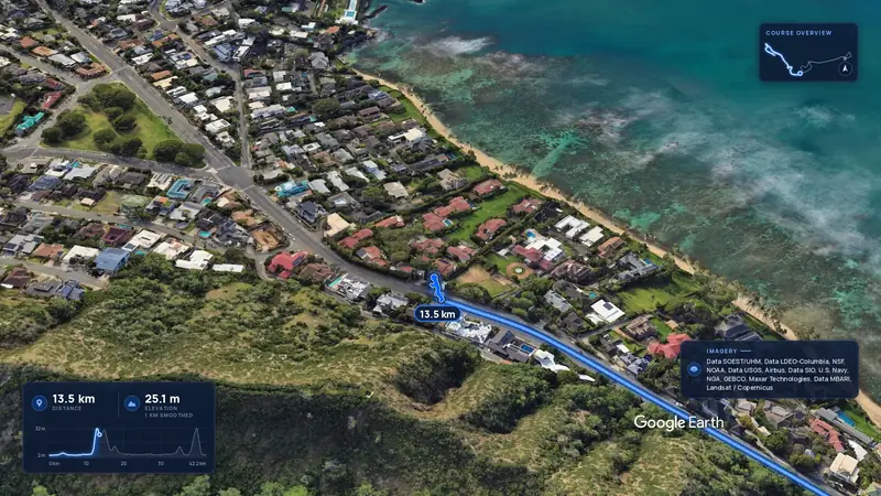 Imagery: Google Earth4:00 film
Honolulu, United States
Sun 13 Dec42.2 kmClimb 88 m
Climb summed after smoothing the heights over 1 km. The edge is this course's height profile on one scale for every race: 250 m above its lowest point fills it.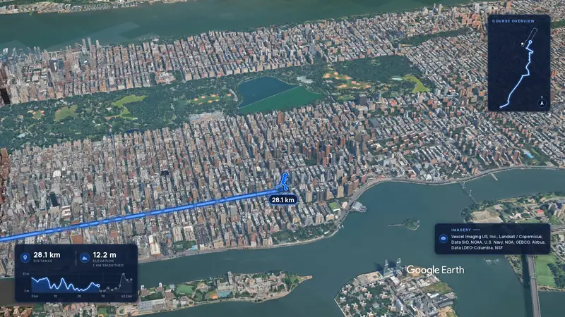 Imagery: Google Earth4:02 film
New York, United States
Nov 202742.2 kmClimb 104 m
Climb summed after smoothing the heights over 1 km. The edge is this course's height profile on one scale for every race: 250 m above its lowest point fills it.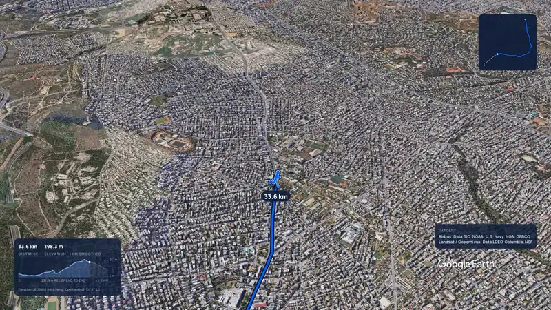 Imagery: Google Earth3:56 filmRace week
Athens, Greece
Sun 8 Nov42.2 kmClimb 281 m
Climb summed after smoothing the heights over 1 km. The edge is this course's height profile on one scale for every race: 250 m above its lowest point fills it.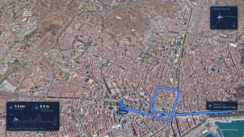 Imagery: Google Earth3:50 filmRace week
Malaga, Spain
Sun 8 Nov42.2 kmClimb 63 m
Climb summed after smoothing the heights over 1 km. The edge is this course's height profile on one scale for every race: 250 m above its lowest point fills it.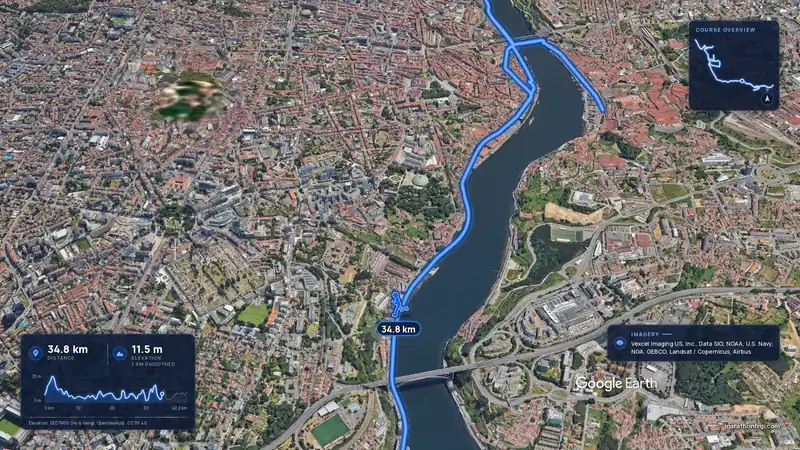 Imagery: Google Earth3:53 filmRace week
Porto, Portugal
Sun 8 Nov42.2 kmClimb 133 m
Climb summed after smoothing the heights over 1 km. The edge is this course's height profile on one scale for every race: 250 m above its lowest point fills it.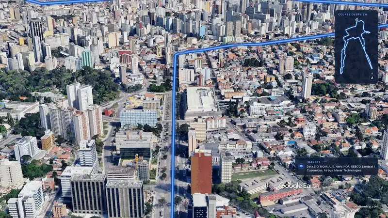 Imagery: Google Earth3:51 filmEntry open
Curitiba, Brazil
Sun 15 Nov42.2 kmClimb 128 m
Climb summed after smoothing the heights over 1 km. The edge is this course's height profile on one scale for every race: 250 m above its lowest point fills it.