
Entry through the organiser
Entry details on the organiser’s site →
Fundacja "Maraton Warszawski", a third party. We take no entries and have no part in the race.
 Marathon Trip
Your trips on every device: sign in, or make a free account when you save one.
Signed in on this browser.
Sign in My marathons Account and dataLocked out? An export link you keep still opens your list in any browser.
No account: email it to me
One email with this trip and a link to open it again. We do not keep the address and send nothing else.
Only a race from our list can be emailed. An account keeps this one.
What we keep, and what we do notCheck your inbox at to confirm it.
Browse the racesEach edition the day it comes out, and nothing else. Off again with one click. How it is kept.
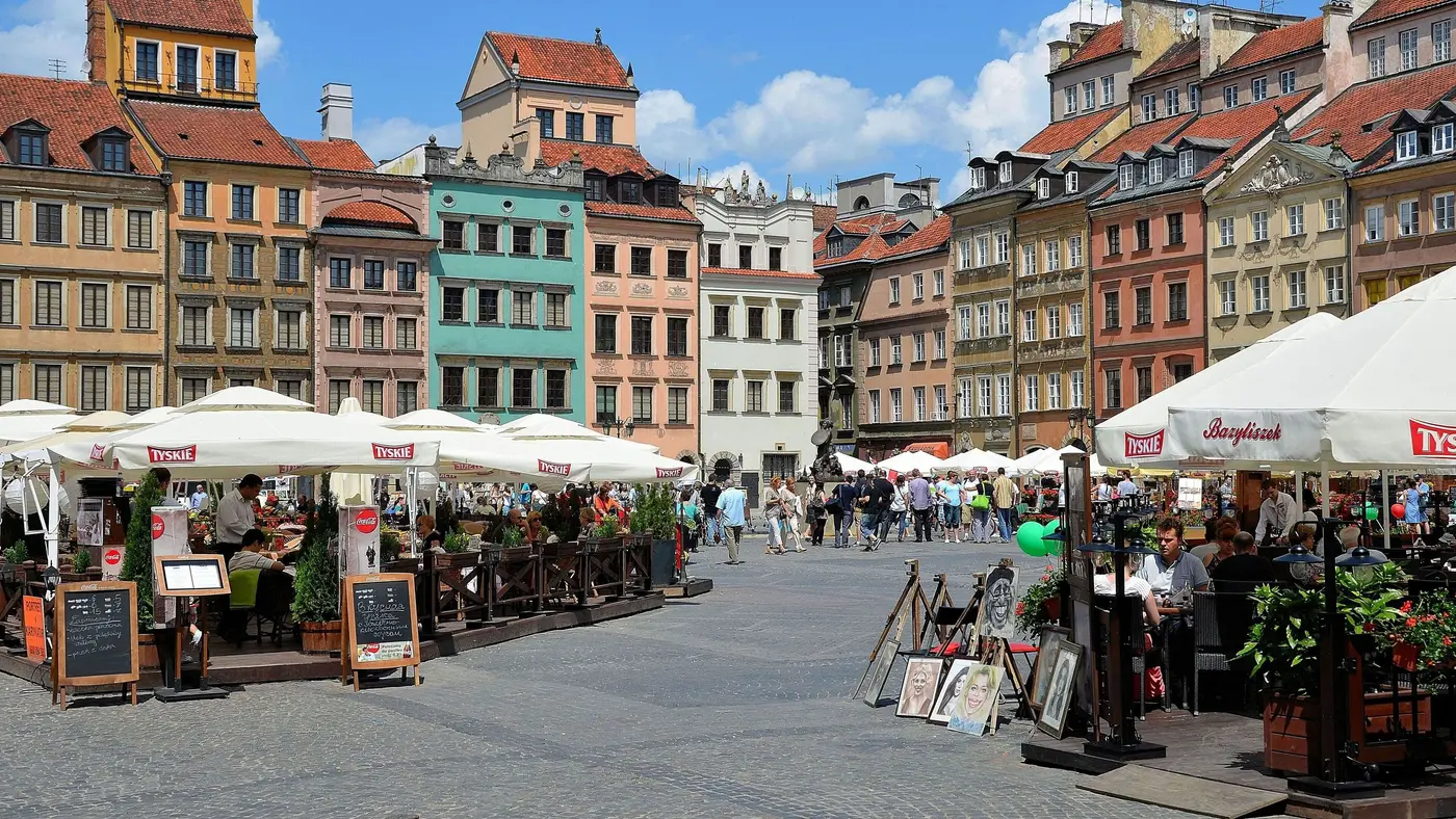
Downhill to km 5, a climb of 26 m from km 15 to km 21, then a slow rise of 15 m home from km 37.
© OpenStreetMap contributors
km 2.8mile 1.8
The course crosses the Vistula on the Poniatowski Bridge a little under 3 km in.
km 11.5mile 7.2
On the east bank of the Vistula the course passes the National Stadium, near km 11.5.
Photo: Igor123121, CC BY 4.0
km 16.8mile 10.5
The course crosses the Vistula back to the west bank on the Gdański Bridge, near km 17.
Photo: Cybularny, CC0
km 40.8mile 25.3
The Presidential Palace stands on Krakowskie Przedmieście, which the course runs late in the race.
km 40.9mile 25.4
Near km 41 the course runs along Krakowskie Przedmieście, the Royal Route.
Photo: Igor123121, CC BY 4.0
Height drawn many times taller than life. Heights: GEDTM30.
Dashed: bridge upright dashes: cut-offs

Your 5 gels, at the orange marksFor a 4:00 finish, one every 40 minutes
Get them on AmazonAmazon partner link
The start on Świętokrzyska sits on the high ground of the city centre, at about 112 m. The road runs down through Nowy Świat and across the Poniatowski Bridge near km 2.8, and the lowest point of the whole course, 81.1 m, comes at km 4.8 on the far bank. These figures are for the 2026 course.
Measured
After the bridge the course stays low on the east side of the Vistula. Between km 5 and km 15 the height barely moves, between about 81 and 86 m, and the National Stadium comes up near km 11.5. These figures are for the 2026 course.
Measured
The Gdański Bridge takes the course back to the west bank near km 17, and the ground rises with it: about 17 m between km 15 and km 18, the largest climb on the course. After that the road holds between about 100 and 109 m up to km 30. These figures are for the 2026 course.
Measured
Near km 41 the course is on Krakowskie Przedmieście, the Royal Route, close to the Presidential Palace. The road rises from about 97 m at km 38 to the course’s highest point at km 41.6. The finish is on Świętokrzyska, where the race started. These figures are for the 2026 course.
Measured
A flat late-September loop through central Warsaw, starting at the Palace of Culture and Science and running the historic Royal Route past the Old Town, over the Vistula on the Poniatowski Bridge and back through the city centre.
The Warsaw Marathon is a loop of 42.2 km with 66 m of climbing. Its lowest point is 81 m and its highest 113 m above sea level.
Entry through the organiser
Fundacja "Maraton Warszawski", a third party. We take no entries and have no part in the race.
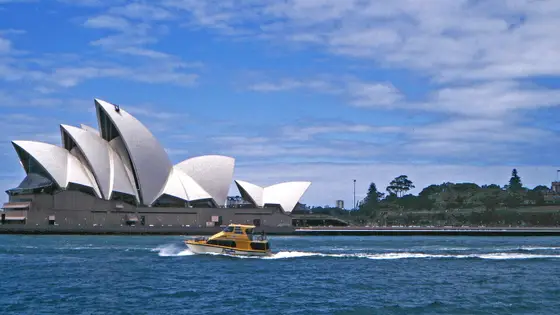 Ballot open
Sydney, Australia
Sun 29 Aug 202742.2 kmClimb 188 m
Climb summed after smoothing the heights over 1 km. The edge is this course's height profile on one scale for every race: 250 m above its lowest point fills it. Photo: Sydney Opera House, by W. Bulach, CC BY-SA 4.0, via Wikimedia Commons.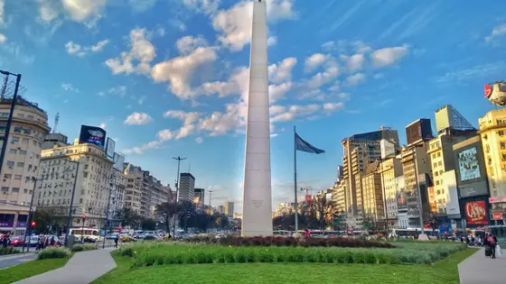
Buenos Aires, Argentina
Sep 202742.2 kmClimb 90 m
Climb summed after smoothing the heights over 1 km. The edge is this course's height profile on one scale for every race: 250 m above its lowest point fills it. Photo: Obelisco de Buenos Aires, by Sebastianalmaraz, CC BY-SA 4.0, via Wikimedia Commons.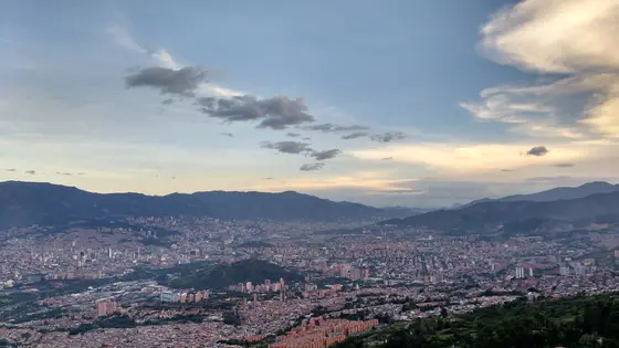
Medellín, Colombia
Sep 202742.2 kmClimb 191 m
Climb summed after smoothing the heights over 1 km. The edge is this course's height profile on one scale for every race: 250 m above its lowest point fills it. Photo: Medellín, by Luis90f, CC BY-SA 4.0, via Wikimedia Commons.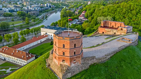
Vilnius, Lithuania
Sun 12 Sep 202742.2 kmClimb 116 m
Climb summed after smoothing the heights over 1 km. The edge is this course's height profile on one scale for every race: 250 m above its lowest point fills it. Photo: Gediminas' Tower, by BigHead, CC BY-SA 4.0, via Wikimedia Commons.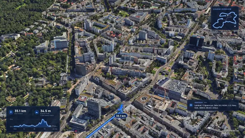 Imagery: Google Earth4:01 filmEntry closes 12 Nov
Berlin, Germany
Sun 26 Sep 202742.2 kmClimb 36 m
Climb summed after smoothing the heights over 1 km. The edge is this course's height profile on one scale for every race: 250 m above its lowest point fills it.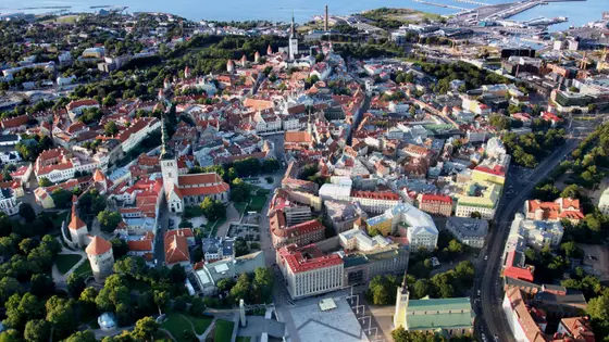
Tallinn, Estonia
Sun 12 Sep 202742.2 km
Photo: Tallinn, by Hiiumaamudeliklubi, CC BY-SA 4.0, via Wikimedia Commons.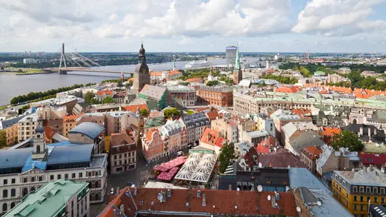 Entry open
Riga, Latvia
Sun 16 May 202742.2 kmClimb 65 m
Climb summed after smoothing the heights over 1 km. The edge is this course's height profile on one scale for every race: 250 m above its lowest point fills it. Photo: Riga, by Diego Delso, CC BY-SA 3.0, via Wikimedia Commons.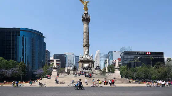
Mexico City, Mexico
Aug 202742.2 kmClimb 68 m
Climb summed after smoothing the heights over 1 km. The edge is this course's height profile on one scale for every race: 250 m above its lowest point fills it. Photo: Angel of Independence, by Carlos Valenzuela, CC BY-SA 4.0, via Wikimedia Commons.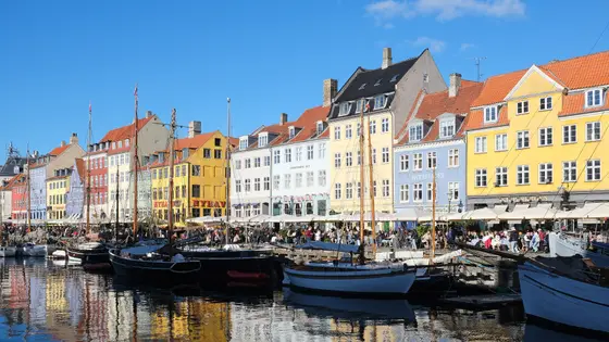
Copenhagen, Denmark
Sun 9 May 202742.2 kmClimb 69 m
Climb summed after smoothing the heights over 1 km. The edge is this course's height profile on one scale for every race: 250 m above its lowest point fills it. Photo: Nyhavn, by kallerna, CC BY-SA 4.0, via Wikimedia Commons.Not entirely. It has 66 m of climbing over 42.2 km. The highest point is 31 m above the lowest.
Entry is through the organiser. Entry fee: €120 (for the 2026 race). Entry details on the organiser’s site
Runners have 6 h 30 min to finish.