
Entry through the organiser
Entry details on the organiser’s site →
Instituto del Deporte de la Ciudad de México, a third party. We take no entries and have no part in the race.
 Marathon Trip
Your trips on every device: sign in, or make a free account when you save one.
Signed in on this browser.
Sign in My marathons Account and dataLocked out? An export link you keep still opens your list in any browser.
No account: email it to me
One email with this trip and a link to open it again. We do not keep the address and send nothing else.
Only a race from our list can be emailed. An account keeps this one.
What we keep, and what we do notCheck your inbox at to confirm it.
Browse the racesEach edition the day it comes out, and nothing else. Off again with one click. How it is kept.
Downhill to km 10, a slow rise of 26 m to km 26, then downhill home.
© OpenStreetMap contributors
km 0mile 0
The 2025 course starts on Avenida Insurgentes Sur in front of the stadium's flagpoles.
Photo: ProtoplasmaKid, CC BY 4.0
km 4.9mile 3.1
Insurgentes Sur runs past the sunken park at about km 5.
Photo: Daniel Santos, CC BY 3.0
km 6.8mile 4.2
The tower stands beside Insurgentes Sur at about km 7.
Photo: Lui Piquee from Mexico City, Mexico, CC BY 2.0
km 10.1mile 6.3
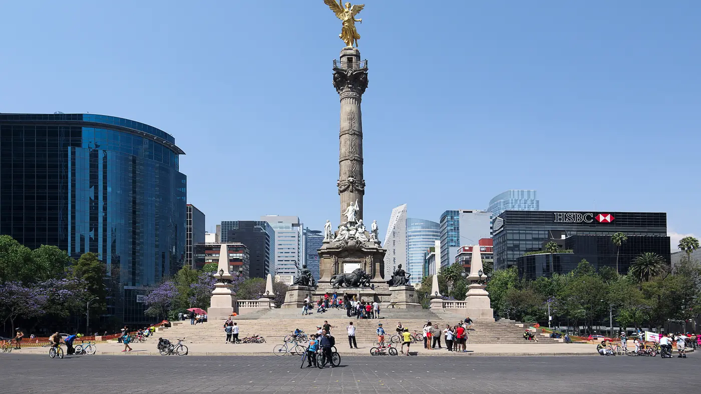
At about km 10.5 the course runs round the Glorieta de los Insurgentes and leaves it on Avenida Oaxaca.
Photo: Gobierno CDMX, CC0
km 11.1mile 6.9
Avenida Oaxaca runs round the Cibeles fountain in the Plaza de Madrid at about km 11.
Photo: Flickr user 54815043@N06, CC BY 2.0
km 11.9mile 7.4
The course passes the park twice, before and after the out-and-back on Avenida Nuevo León.
Photo: Secretaría de Cultura CDMX, CC BY 2.0
km 20.5mile 12.8
Calzada Chivatito brings the course out of the Bosque de Chapultepec onto Paseo de la Reforma beside the Auditorio Nacional.
Photo: Pierre-Selim Huard, CC BY 4.0
km 26.7mile 16.6
The loop off Ejército Nacional runs along Boulevard Miguel de Cervantes Saavedra past the museum.
Photo: TonyBallioni, CC0
km 32mile 19.9
Calzada Mahatma Gandhi takes the course along the museum's side back onto Paseo de la Reforma.
Photo: Nan Palmero from San Antonio, TX, USA, CC BY 2.0
km 36.9mile 22.9
From Ignacio Ramírez the course runs round the Plaza de la República and the monument.
Photo: ismael villafranco, CC BY 2.0
km 40.4mile 25.1
Avenida Juárez passes the Palacio de Bellas Artes before the course turns onto Madero.
Photo: JUAN CARLOS GONZALEZ, CC0
km 42.1mile 26.1
The 2025 course finishes on the Zócalo, the Plaza de la Constitución.
Photo: Gobierno CDMX, CC0
km 42.2mile 26.2
The finish line is on the Zócalo in front of the Palacio Nacional.
Height drawn many times taller than life. Heights: GEDTM30.
Dashed: bridge

Your 5 gels, at the orange marksFor a 4:00 finish, one every 40 minutes
Get them on AmazonAmazon partner link
The organiser’s call for the 2026 race, run on Sunday 30 August, puts the start line on “Insurgentes Avenue, Central Library, and the UNAM Olympic Stadium” and the finish at the “Zócalo, Constitution Square”. It lists “30,000 runners” and a route of 42,195 metres.
The organiser’s 2025 course map, the latest it has published, has the same two ends: the start on Avenida Insurgentes Sur in front of the Estadio Olímpico Universitario’s flagpoles, and the finish on the Zócalo in front of the Palacio Nacional.
The start times in that call: the wheelchair and visually impaired block at 5:45 a.m., the elite women at 5:50, the elite men at 6:00, then Block A at 6:00, Block B at 6:15 and Block C at 6:30.
A runner’s block comes from the registration details, and “if you enter from a different block, you’ll be disqualified”.
Sourced
The organiser’s call for the 2026 race (the 43rd edition) says runners “can run at a pace of up to 8 minutes and 30 seconds per kilometer, which means you’ll finish the route within 6 hours at the most”.
Anyone slower is “asked to hop on the sweep vehicle that trails behind and will take them to the finish line”. Those runners “will be disqualified and won’t be part of the official results”.
The call also asks runners to cross every timing mat on the way, “so it’s really important to go through all the checkpoints to steer clear of disqualification”.
Sourced
Measured along the 2025 course, the start on Avenida Insurgentes Sur, at 2,285 m, is the highest point of the race. Insurgentes runs downhill from there: by km 9.8, just before the Glorieta de los Insurgentes, the road is 50 m lower, and the first 10 km hold only 3.7 m of climbing.
The climbing comes in the middle. Between km 10 and km 27, through the Bosque de Chapultepec and Polanco, the course gains 43.6 m of its 68 m total and tops out at 2,260 m at km 25.6, on Molière just past Presidente Masaryk.
From there it is mostly down again. The lowest point, 2,228 m, is at km 38.9 on Paseo de la Reforma Norte, just after the turn at the Glorieta Simón Bolívar, and the finish on the Zócalo is at 2,234 m, 51 m below the start.
Measured
Point to point across Mexico City at over 2,200 metres of altitude, from the university campus at UNAM to a finish on the Zócalo in the historic centre.
The Mexico City Marathon is a point-to-point course of 42.2 km with 68.1 m of climbing. Its lowest point is 2,228 m and its highest 2,285 m above sea level.
Entry through the organiser
Instituto del Deporte de la Ciudad de México, a third party. We take no entries and have no part in the race.
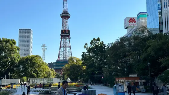
Sapporo, Japan
Aug 202742.2 km
Photo: Sapporo TV Tower, by ノボホショコロトソ, CC BY 4.0, via Wikimedia Commons.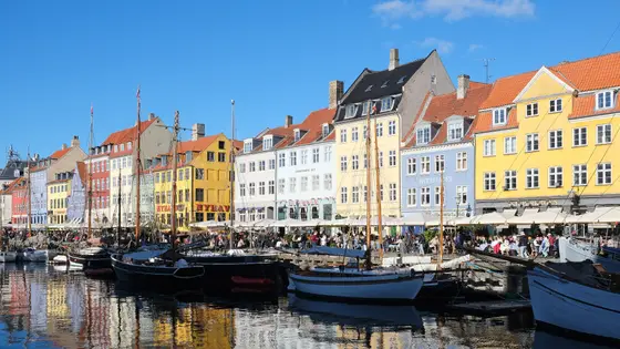
Copenhagen, Denmark
Sun 9 May 202742.2 kmClimb 69 m
Climb summed after smoothing the heights over 1 km. The edge is this course's height profile on one scale for every race: 250 m above its lowest point fills it. Photo: Nyhavn, by kallerna, CC BY-SA 4.0, via Wikimedia Commons.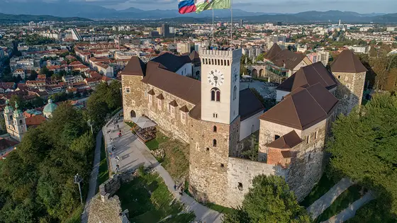
Ljubljana, Slovenia
Sun 17 Oct 202742.2 kmClimb 70 m
Climb summed after smoothing the heights over 1 km. The edge is this course's height profile on one scale for every race: 250 m above its lowest point fills it. Photo: Ljubljana Castle, by LjGrad, CC BY-SA 4.0, via Wikimedia Commons.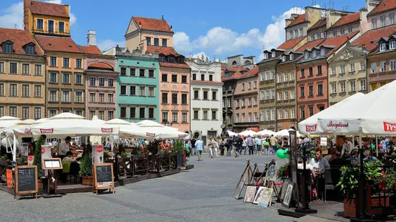
Warsaw, Poland
Sep 202742.2 kmClimb 66 m
Climb summed after smoothing the heights over 1 km. The edge is this course's height profile on one scale for every race: 250 m above its lowest point fills it. Photo: Old Town Market Place, by Adrian Grycuk, CC BY-SA 3.0 pl, via Wikimedia Commons.Not entirely. It has 68.1 m of climbing over 42.2 km. The highest point is 57 m above the lowest. It finishes 51 m lower than it starts.
10,051 runners finished in 2021.