
Entry through the organiser
Entry details on the organiser’s site →
MCM Operador de Eventos, a third party. We take no entries and have no part in the race.
 Marathon Trip
Your trips on every device: sign in, or make a free account when you save one.
Signed in on this browser.
Sign in My marathons Account and dataLocked out? An export link you keep still opens your list in any browser.
No account: email it to me
One email with this trip and a link to open it again. We do not keep the address and send nothing else.
Only a race from our list can be emailed. An account keeps this one.
What we keep, and what we do notCheck your inbox at to confirm it.
Browse the racesEach edition the day it comes out, and nothing else. Off again with one click. How it is kept.
A climb of 59 m to km 4, a long climb of 111 m from km 18 to km 29, then downhill home.
© OpenStreetMap contributors
km 0mile 0
The marathon starts here, on Avenida San Juan beside the park, at 5:00 a.m. with the runners in two start pens.
Photo: SajoR, Public domain
km 42.2mile 26.2
The finish line is at the EPM building beside this park.
Photo: SajoR, Public domain
Height drawn many times taller than life. Heights: GEDTM30.
Dashed: bridge

Your 5 gels, at the orange marksFor a 4:00 finish, one every 40 minutes
Get them on AmazonAmazon partner link
Medellín lies in a valley of the Andes, and the marathon never leaves it. The lowest road is the start at about 1,468 m; the highest is the Sabaneta turn near km 28.5 at about 1,592 m. The finish comes in at about 1,469 m, level with the start.
In all the course climbs about 190 m, 107 m of it in the first half and 82 m in the second. These figures are for the 2026 course.
Measured
After a rolling middle section around 1,480 to 1,490 m, the road goes from about 1,492 m at km 19 to about 1,592 m at the Sabaneta turn at km 28.5, an average of about 1% over 9.5 km. It is a long steady drag rather than a hill: no kilometre in it is steeper than about 2%.
There is an early rise too. In the first 5.4 km the road lifts about 60 m to about 1,528 m, the steepest kilometre of the course (about 27 m, from km 1.75), and then drops back to about 1,478 m by km 13.
Measured
From about 1,592 m at the turn the course steps down to about 1,469 m at the finish, a net fall of about 124 m. Nothing in these 13.7 km rises, and the steepest descent is about 16 m in a kilometre, around km 30.8, which is under 2%.
The drop is not even: about 53 m falls between km 30 and 35, then about 38 m in the next five, and only about 9 m over the final 2.2 km.
Measured
The organiser’s 2026 course starts at Parque de las Luces, with the pens on Avenida San Juan, and finishes at the Parque de los Pies Descalzos. It runs along avenues in Medellín, Envigado and Sabaneta, and is certified by World Athletics and a Boston qualifier.
The 2026 marathon went off at 5:00 a.m. with a 6-hour limit. On the way it had two cut-off points: the Sabaneta turn (km 28.5), closing at 9:00 a.m., and Aguacatala (km 35.7), closing at 10:00 a.m.
Sourced
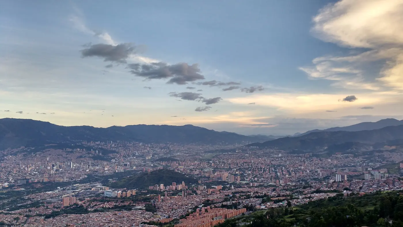
Out from central Medellín through Envigado to a turn in Sabaneta and back, in the Colombian city known as the City of Eternal Spring.
The Maratón Medellín is a hilly out-and-back course of 42.2 km with 191.3 m of climbing. Its lowest point is 1,468 m and its highest 1,592 m above sea level.
Entry through the organiser
MCM Operador de Eventos, a third party. We take no entries and have no part in the race.
 Ballot open
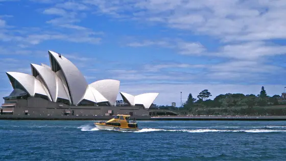
Sydney, Australia
Sun 29 Aug 202742.2 kmClimb 188 m
Climb summed after smoothing the heights over 1 km. The edge is this course's height profile on one scale for every race: 250 m above its lowest point fills it. Photo: Sydney Opera House, by W. Bulach, CC BY-SA 4.0, via Wikimedia Commons.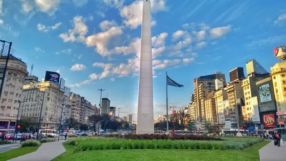
Buenos Aires, Argentina
Sep 202742.2 kmClimb 90 m
Climb summed after smoothing the heights over 1 km. The edge is this course's height profile on one scale for every race: 250 m above its lowest point fills it. Photo: Obelisco de Buenos Aires, by Sebastianalmaraz, CC BY-SA 4.0, via Wikimedia Commons.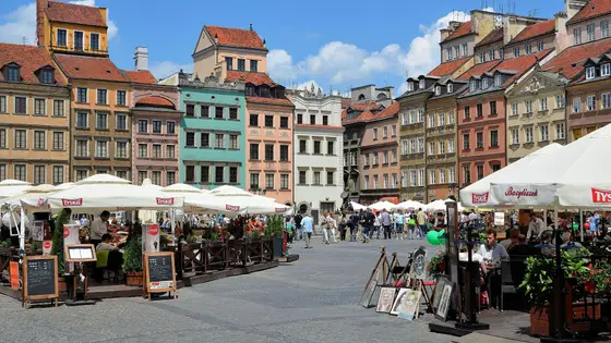
Warsaw, Poland
Sep 202742.2 kmClimb 66 m
Climb summed after smoothing the heights over 1 km. The edge is this course's height profile on one scale for every race: 250 m above its lowest point fills it. Photo: Old Town Market Place, by Adrian Grycuk, CC BY-SA 3.0 pl, via Wikimedia Commons.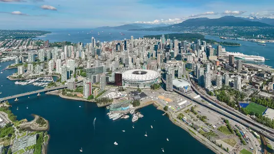
Vancouver, Canada
Sun 2 May 202742.2 kmClimb 198 m
Climb summed after smoothing the heights over 1 km. The edge is this course's height profile on one scale for every race: 250 m above its lowest point fills it. Photo: Vancouver, by Quintin Soloviev, CC BY 4.0, via Wikimedia Commons.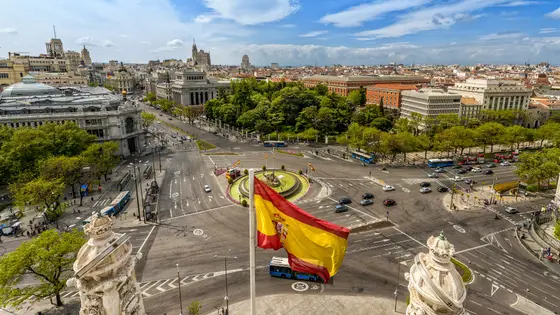
Madrid, Spain
Sun 25 Apr 202742.2 kmClimb 206 m
Climb summed after smoothing the heights over 1 km. The edge is this course's height profile on one scale for every race: 250 m above its lowest point fills it. Photo: Plaza de Cibeles, by Miguel Diaz from Boadilla del Monte, España-Spain, CC BY-SA 2.0, via Wikimedia Commons.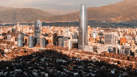
Santiago, Chile
Sun 16 May 202742.2 kmClimb 173 m
Climb summed after smoothing the heights over 1 km. The edge is this course's height profile on one scale for every race: 250 m above its lowest point fills it. Photo: Santiago, by Omnespsx ( D • ES ), CC BY-SA 4.0, via Wikimedia Commons.No, it is a hilly course: 191.3 m of climbing over 42.2 km. The highest point is 125 m above the lowest.
Runners have 6 hours to finish.