
Entry through the organiser
Entry details on the organiser’s site →
The organiser, a third party. We take no entries and have no part in the race.
 Marathon Trip
Your trips on every device: sign in, or make a free account when you save one.
Signed in on this browser.
Sign in My marathons Account and dataLocked out? An export link you keep still opens your list in any browser.
No account: email it to me
One email with this trip and a link to open it again. We do not keep the address and send nothing else.
Only a race from our list can be emailed. An account keeps this one.
What we keep, and what we do notCheck your inbox at to confirm it.
Browse the racesEach edition the day it comes out, and nothing else. Off again with one click. How it is kept.
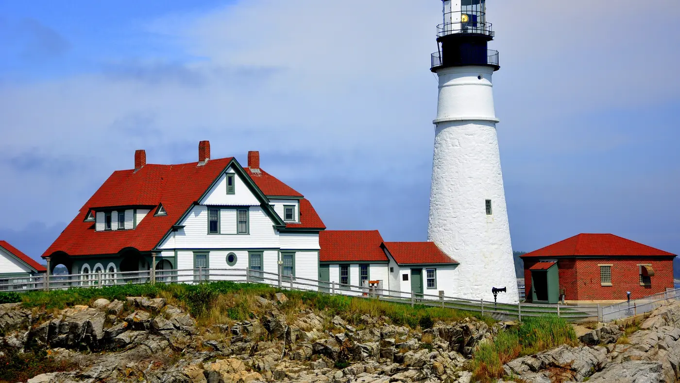
The 10K starts on Route 77 near Crescent Beach State Park in Cape Elizabeth and finishes in Fort Williams at the Portland Head Light, along Old Ocean House Road, Route 77 and Smugglers Cove.
The organiser describes 6.2 miles of scenic views of historic Cape Elizabeth, Casco Bay, Fort Williams and the Portland Head Light. The race begins near Crescent Beach State Park on Route 77, runs along Old Ocean House Road, Route 77 and through Smugglers Cove, and finishes in Fort Williams with views over Casco Bay. The race, held on the first Saturday of August, drew almost 6,500 runners and more than 800 volunteers. There is no parking for runners at the finish, and shuttles run from three satellite locations to the start.
Sourced
The organiser’s own elevation figures for the course are a start altitude of 50 feet above sea level and a finish altitude of 25 feet. The highest point on the course is 100 feet and the lowest is 20 feet, so the race drops 25 feet from start to finish.
Sourced
Entry through the organiser
The organiser, a third party. We take no entries and have no part in the race.
More races to look at after the TD Beach to Beacon 10K.
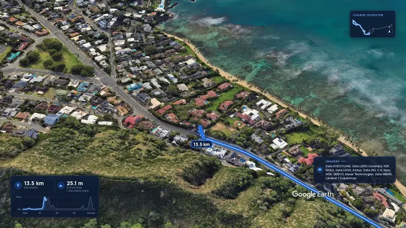 Imagery: Google Earth4:00 film
Honolulu, United States
Sun 13 Dec42.2 kmClimb 88 m
Climb summed after smoothing the heights over 1 km. The edge is this course's height profile on one scale for every race: 250 m above its lowest point fills it.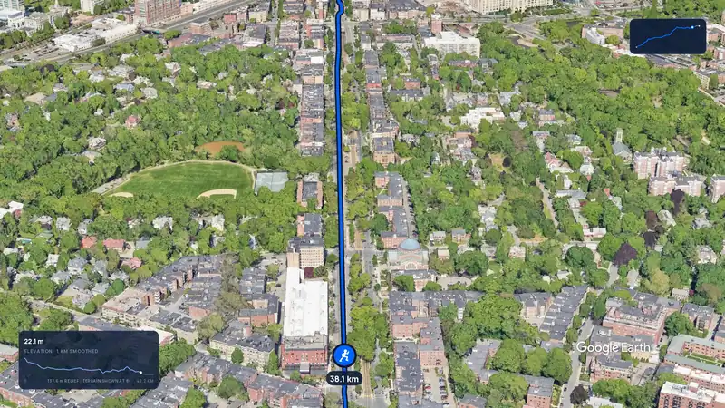 Imagery: Google Earth3:12 film
Boston, United States
Mon 19 Apr 202742.2 kmClimb 105 m
Climb summed after smoothing the heights over 1 km. The edge is this course's height profile on one scale for every race: 250 m above its lowest point fills it.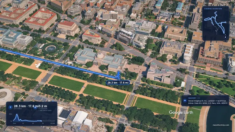 Imagery: Google Earth4:00 film
Washington, D.C., United States
Oct 202742.2 kmClimb 112 m
Climb summed after smoothing the heights over 1 km. The edge is this course's height profile on one scale for every race: 250 m above its lowest point fills it.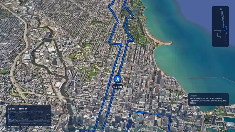 Imagery: Google Earth3:59 filmBallot open
Chicago, United States
Sun 10 Oct 202742.2 kmClimb 20 m
Climb summed after smoothing the heights over 1 km. The edge is this course's height profile on one scale for every race: 250 m above its lowest point fills it.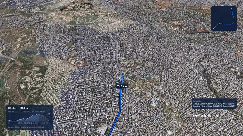 Imagery: Google Earth3:56 filmRace week
Athens, Greece
Sun 8 Nov42.2 kmClimb 281 m
Climb summed after smoothing the heights over 1 km. The edge is this course's height profile on one scale for every race: 250 m above its lowest point fills it.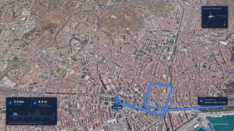 Imagery: Google Earth3:50 filmRace week
Malaga, Spain
Sun 8 Nov42.2 kmClimb 63 m
Climb summed after smoothing the heights over 1 km. The edge is this course's height profile on one scale for every race: 250 m above its lowest point fills it.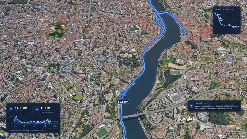 Imagery: Google Earth3:53 filmRace week
Porto, Portugal
Sun 8 Nov42.2 kmClimb 133 m
Climb summed after smoothing the heights over 1 km. The edge is this course's height profile on one scale for every race: 250 m above its lowest point fills it.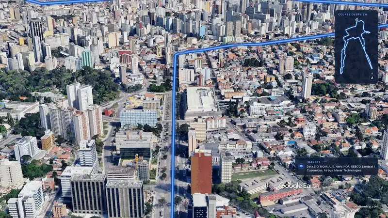 Imagery: Google Earth3:51 filmEntry open
Curitiba, Brazil
Sun 15 Nov42.2 kmClimb 128 m
Climb summed after smoothing the heights over 1 km. The edge is this course's height profile on one scale for every race: 250 m above its lowest point fills it.