Skip to content

Run the Bluegrass

The organiser has not published a date. Lexington
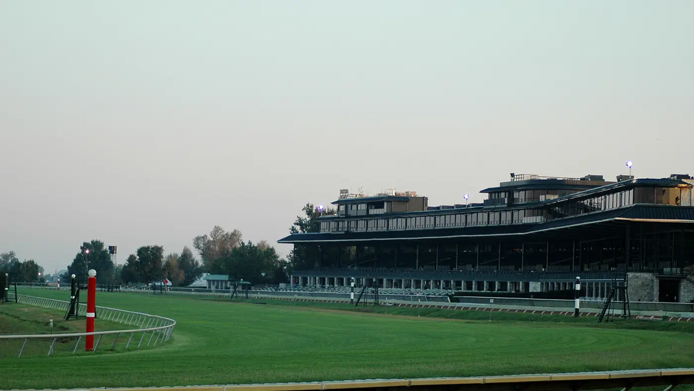
Keeneland
© OpenStreetMap Keeneland. Photograph by Jason Phillips ( user:Wildcat~commonswiki ), CC BY 2.5 via Wikimedia Commons . Course line © OpenStreetMap contributors

The course

Drag along the profile

A climb of 14 m from km 5 to km 8, downhill from km 13 to km 16, then a slow rise of 10 m home.

Start, finish

© OpenStreetMap contributors

Height drawn many times taller than life. Heights: GEDTM30.

Course elevation profile, 8× vertical exaggeration Elevation along the course from km 0 to km 21. The trace runs between 271 and 309 metres, a range of 38 metres, drawn at 8 times vertical exaggeration so the shape is legible. Smoothed over 1 km before this profile was derived. An unsmoothed urban surface carries the buildings and would assert a climb that is not there.
0 5 10 15 20 km
0 5 10 13.1 mi

  • climb to 8
  • downhill to 16
  • slow rise home

Your 2 gels, at the orange marksFor a 1:55 finish, one every 40 minutes

  1. km 7.3mile 4.6
  2. km 14.7mile 9.1

Get them on AmazonAmazon partner link

The course in short 3 lines
  • Country roads from Talon WineryStart and finish at Talon Winery, by the Kentucky River.
  • A 14 minute mile cutoff and a sweeper busA strict 14 min/mile cutoff, swept from 8:45.
  • Rolling country, highest at the turnBetween 271 m and 309 m, highest at the turn.
Course notes 3 short reads on the course
Whole courseGeometryCountry roads from Talon WineryStart and finish at Talon Winery, by the Kentucky River.

The organiser points runners to the Kentucky Palisades, Raven Run Nature Sanctuary and Clays Ferry nearby. Run the Bluegrass is the spring half of its Horse Country Classic, paired with the Iron Horse half marathon in the fall.

Sourced

Whole courseTacticsA 14 minute mile cutoff and a sweeper busA strict 14 min/mile cutoff, swept from 8:45.

The 2026 race was on Saturday 16 May, with a 7:00 start and every runner on site by 6:30, when the road closures began.

Sourced

km 0 to 21.1GradientRolling country, highest at the turnBetween 271 m and 309 m, highest at the turn.

The road runs 38 m from its lowest point to its highest. The course is an out-and-back, so the second half of the race covers the same road in the other direction.

Measured

Race fuel

Energy gel
An energy gel sachet
Illustration · drag to turn

2 gels for Lexington, plus 1 spare

Finish

One every 40 minutes, the orange marks on the profile. Lexington stays within 38 m125 ft of height, so they go by the clock:

  1. km 7.3mile 4.6
  2. km 14.7mile 9.1

Our pick: SiS BETA Fuel gel, box of 6, strawberry and lime. 40 g of carbohydrate a gel, about twice a usual gel, from two kinds of sugar your body takes up side by side.

Easy to forget on race morning: pack them with your bib the night before.

Get it on Amazon

We earn a small fee if you buy through these links. The price is the same.

In Canada the button opens GU Energy Gel, Salted Caramel, 24-pack, the best seller there.

Outside the Netherlands, Belgium, Germany, Austria and Switzerland, the UK and Ireland, Spain and Portugal, Italy, the rest of the EU and Canada the button opens GU Energy Gel, Chocolate Outrage, 24-pack on Amazon.com, the best seller there.

Anti-chafe
Compeed Anti-blister stick
Photo: Compeed

Compeed

Compeed anti-blister stick, 8 ml

Best selling on Amazon amazon.nl, read 2 Nov

An invisible layer before the start keeps seams, straps and shoes from rubbing skin raw.

Put it on before you leave for the start: heels and toes, inner thighs, under a bra or heart-rate strap.

Try it on a long run first, like everything you use on race day.

Get it on Amazon

We earn a small fee if you buy through these links. The price is the same.

Number belt
A race number belt
Illustration · drag to turn

Compressport Race Belt

Holds your bib without safety pins through your top, with loops for up to 8 gels.

Clip the bib on the night before, so it goes on with your shorts in the morning.

Keep the number on the front, where officials and photographers can see it.

Get it on Amazon

We earn a small fee if you buy through these links. The price is the same.

Electrolytes
A tube of electrolyte tablets
Illustration · drag to turn

SiS Hydro electrolyte tablets, tube of 20

One tablet in a bottle puts back some of the salt you sweat out.

One tablet in 500 ml of water in the hour before the start.

Only if you have used them in training: nothing new on race day.

Get it on Amazon

We earn a small fee if you buy through these links. The price is the same.

Blister plasters
Compeed Blister plasters, medium, 6
Photo: Compeed

Compeed

Compeed blister plasters, medium, 6

Best selling on Amazon amazon.nl, read 2 Nov

One in a pocket cushions a blister if one starts.

Put it on clean, dry skin and leave it until it comes off by itself.

Give a couple to whoever comes to cheer, so they are there at the km you need them.

Get it on Amazon

We earn a small fee if you buy through these links. The price is the same.

At a glance

distance
21.1 km13.1 mi
Half marathon
climb
108.4 m356 ft
Highest point 38 m above lowest

The Run the Bluegrass is a course of 21.1 km (13.1 miles) with 108.4 m (356 ft) of climbing. Its lowest point is 271 m (889 ft) and its highest 309 m (1,014 ft) above sea level.

Trip

Getting a place

Entry through the organiser

Entry details on the organiser’s site →

The organiser, a third party. We take no entries and have no part in the race.

More about the race

Sources and licence

Last checked.

Course line matched onto OpenStreetMap road geometry: (c) OpenStreetMap contributors, Open Database License 1.0 (ODbL). Elevation sampled from GEDTM30, Global Ensemble Digital Terrain Model at 30 m (v1.2): Elevation: GEDTM30 (Ho & Hengl, OpenGeoHub), CC BY 4.0, Creative Commons Attribution 4.0 International (CC BY 4.0).

Elevation gain computed by us from that line, smoothed over 1 kmsmoothed over 0.6 mi.

The line follows the road down its middle, so it measures 0.71% longer than the certified distance, which is measured on the shortest legal line through every bend.

Date and entry information from the organiser.

Every source and licence behind them →

Keep exploring

More races to look at after the Run the Bluegrass.
Marathons people fly to

Races in North America
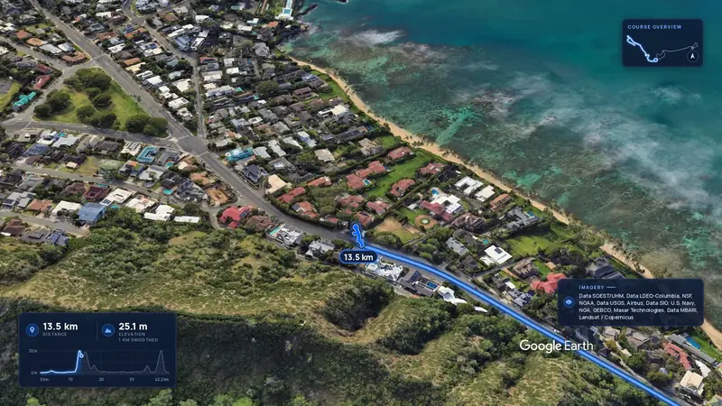
  • A frame from our Honolulu Marathon filmImagery: Google Earth4:00 film

    Honolulu Marathon

    Honolulu, United States

    Sun 13 Dec42.2 kmClimb 88 m

    Climb summed after smoothing the heights over 1 km. The edge is this course's height profile on one scale for every race: 250 m above its lowest point fills it.
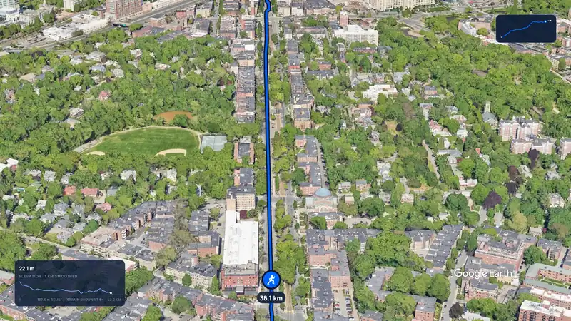
  • A frame from our Boston Marathon filmImagery: Google Earth3:12 film

    Boston Marathon

    Boston, United States

    Mon 19 Apr 202742.2 kmClimb 105 m

    Climb summed after smoothing the heights over 1 km. The edge is this course's height profile on one scale for every race: 250 m above its lowest point fills it.
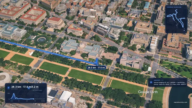
  • A frame from our Marine Corps Marathon filmImagery: Google Earth4:00 film

    Marine Corps Marathon

    Washington, D.C., United States

    Oct 202742.2 kmClimb 112 m

    Climb summed after smoothing the heights over 1 km. The edge is this course's height profile on one scale for every race: 250 m above its lowest point fills it.
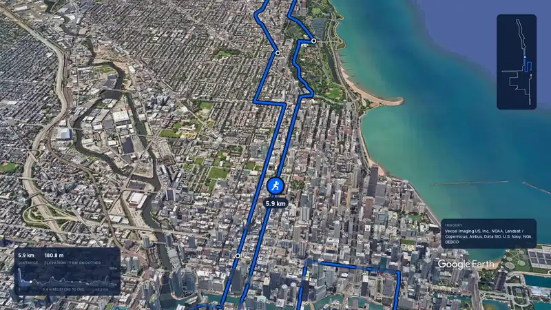
  • A frame from our Chicago Marathon filmImagery: Google Earth3:59 filmBallot open

    Chicago Marathon

    Chicago, United States

    Sun 10 Oct 202742.2 kmClimb 20 m

    Climb summed after smoothing the heights over 1 km. The edge is this course's height profile on one scale for every race: 250 m above its lowest point fills it.
Courses on film

All races on film
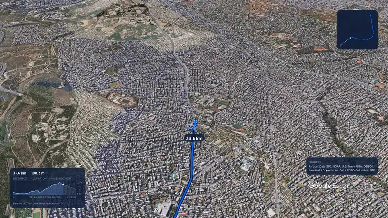
  • A frame from our Athens Marathon filmImagery: Google Earth3:56 filmRace week

    Athens Marathon

    Athens, Greece

    Sun 8 Nov42.2 kmClimb 281 m

    Climb summed after smoothing the heights over 1 km. The edge is this course's height profile on one scale for every race: 250 m above its lowest point fills it.
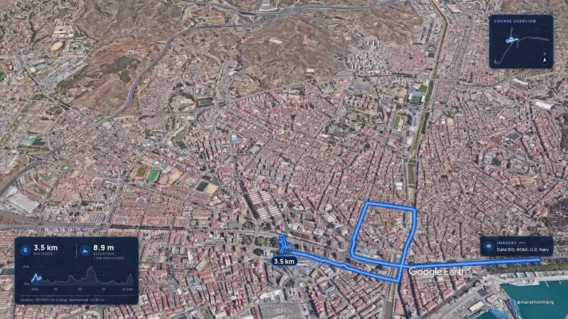
  • A frame from our Malaga Marathon filmImagery: Google Earth3:50 filmRace week

    Malaga Marathon

    Malaga, Spain

    Sun 8 Nov42.2 kmClimb 63 m

    Climb summed after smoothing the heights over 1 km. The edge is this course's height profile on one scale for every race: 250 m above its lowest point fills it.
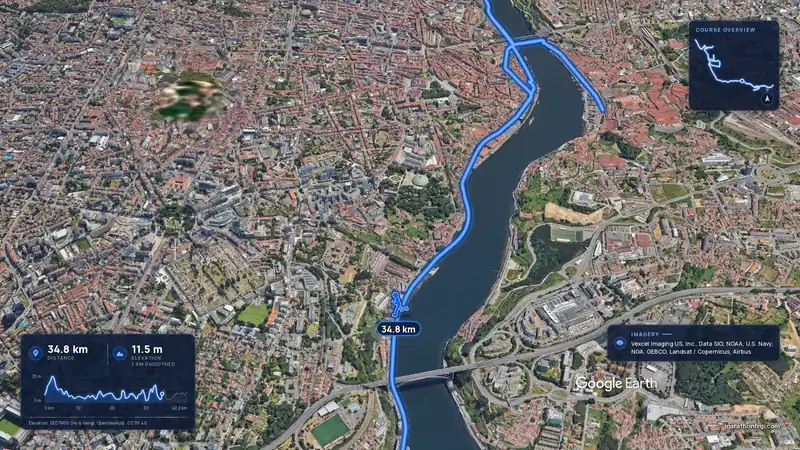
  • A frame from our Porto Marathon filmImagery: Google Earth3:53 filmRace week

    Porto Marathon

    Porto, Portugal

    Sun 8 Nov42.2 kmClimb 133 m

    Climb summed after smoothing the heights over 1 km. The edge is this course's height profile on one scale for every race: 250 m above its lowest point fills it.
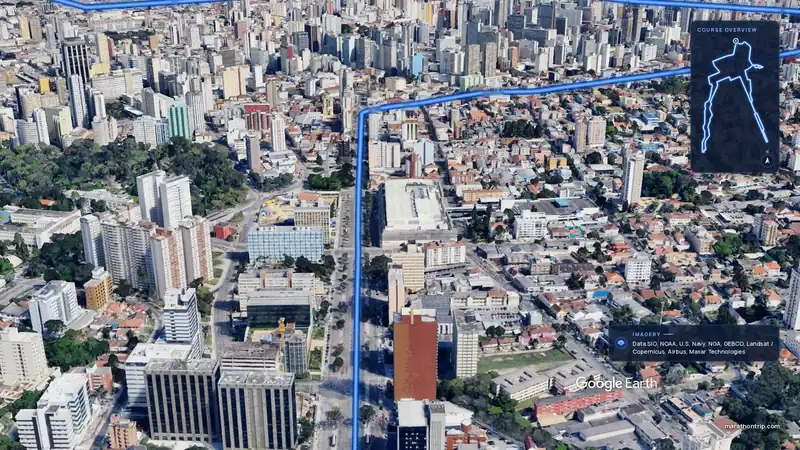
  • A frame from our Curitiba Marathon filmImagery: Google Earth3:51 filmEntry open

    Curitiba Marathon

    Curitiba, Brazil

    Sun 15 Nov42.2 kmClimb 128 m

    Climb summed after smoothing the heights over 1 km. The edge is this course's height profile on one scale for every race: 250 m above its lowest point fills it.
More races in the United States