
Entry through the organiser
Entry details on the organiser’s site →
The organiser, a third party. We take no entries and have no part in the race.
 Marathon Trip
Your trips on every device: sign in, or make a free account when you save one.
Signed in on this browser.
Sign in My marathons Account and dataLocked out? An export link you keep still opens your list in any browser.
No account: email it to me
One email with this trip and a link to open it again. We do not keep the address and send nothing else.
Only a race from our list can be emailed. An account keeps this one.
What we keep, and what we do notCheck your inbox at to confirm it.
Browse the racesEach edition the day it comes out, and nothing else. Off again with one click. How it is kept.
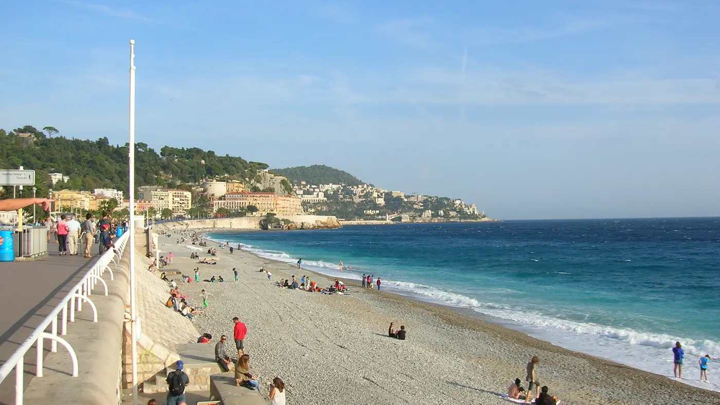
Flat from start to finish: 7 m between the lowest and the highest point.
© OpenStreetMap contributors
km 0mile 0
All the starts are on the Promenade des Anglais facing the Le Méridien hotel.
km 12.5mile 7.8
The finish line is on the Promenade des Anglais facing the Jardin Albert 1er.
Height drawn many times taller than life. Heights: GEDTM30.

Your 2 gels, at the orange marksFor a 1:55 finish, one every 40 minutes
Get them on AmazonAmazon partner link
The organiser’s 2026 course runs between 4.1 m and 10.9 m above sea level, a spread of 6.8 m. The highest point is at 8.7 km and the lowest at 17.0 km. Altogether the half marathon climbs 19.8 m. The organiser gives 65 m of positive climb, which counts every short rise from underpasses and kerbs.
Measured
For the 34th edition, on 19 April 2026, the organiser put the 21.1 km start on the Promenade des Anglais facing the Le Méridien hotel and the finish on the same promenade facing the Jardin Albert 1er. The time limit was 3 hours. The French athletics federation gives the race its gold label, which makes it a qualifier for the French championships, and in 2025 9,000 runners took part in the 21.1 km, 16% of them international.
Sourced
The Nice Half Marathon is a flat course of 21.1 km with 19.8 m of climbing. Its lowest point is 4 m and its highest 11 m above sea level.
Entry through the organiser
The organiser, a third party. We take no entries and have no part in the race.
More races to look at after the Nice Half Marathon.
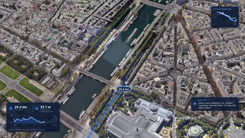 Imagery: Google Earth3:56 film
Paris, France
Sun 4 Apr 202742.2 kmClimb 142 m
Climb summed after smoothing the heights over 1 km. The edge is this course's height profile on one scale for every race: 250 m above its lowest point fills it.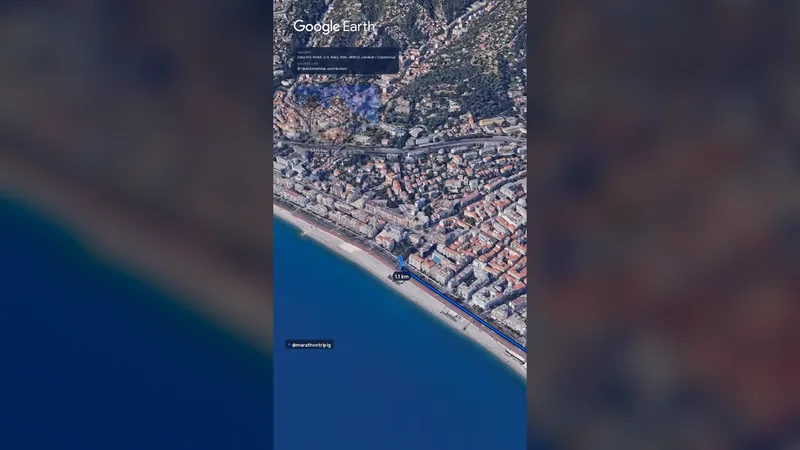 Imagery: Google Earth1:14 filmRace week
Nice, France
Sun 8 Nov42.2 kmClimb 71 m
Climb summed after smoothing the heights over 1 km. The edge is this course's height profile on one scale for every race: 250 m above its lowest point fills it.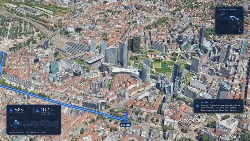 Imagery: Google Earth3:52 film
Milan, Italy
Sun 4 Apr 202742.2 kmClimb 88 m
Climb summed after smoothing the heights over 1 km. The edge is this course's height profile on one scale for every race: 250 m above its lowest point fills it.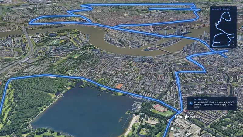 Imagery: Google Earth3:55 film
Rotterdam, Netherlands
Sun 11 Apr 202742.2 kmClimb 28 m
Climb summed after smoothing the heights over 1 km. The edge is this course's height profile on one scale for every race: 250 m above its lowest point fills it.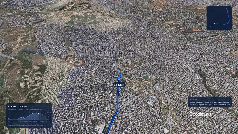 Imagery: Google Earth3:56 filmRace week
Athens, Greece
Sun 8 Nov42.2 kmClimb 281 m
Climb summed after smoothing the heights over 1 km. The edge is this course's height profile on one scale for every race: 250 m above its lowest point fills it.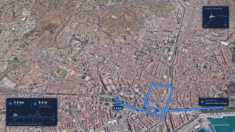 Imagery: Google Earth3:50 filmRace week
Malaga, Spain
Sun 8 Nov42.2 kmClimb 63 m
Climb summed after smoothing the heights over 1 km. The edge is this course's height profile on one scale for every race: 250 m above its lowest point fills it.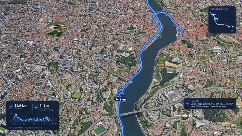 Imagery: Google Earth3:53 filmRace week
Porto, Portugal
Sun 8 Nov42.2 kmClimb 133 m
Climb summed after smoothing the heights over 1 km. The edge is this course's height profile on one scale for every race: 250 m above its lowest point fills it.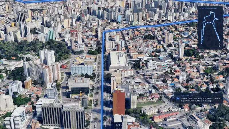 Imagery: Google Earth3:51 filmEntry open
Curitiba, Brazil
Sun 15 Nov42.2 kmClimb 128 m
Climb summed after smoothing the heights over 1 km. The edge is this course's height profile on one scale for every race: 250 m above its lowest point fills it.