
Entry through the organiser
Entry details on the organiser’s site →
The Dong-A Ilbo, a third party. We take no entries and have no part in the race.
 Marathon Trip
Your trips on every device: sign in, or make a free account when you save one.
Signed in on this browser.
Sign in My marathons Account and dataLocked out? An export link you keep still opens your list in any browser.
No account: email it to me
One email with this trip and a link to open it again. We do not keep the address and send nothing else.
Only a race from our list can be emailed. An account keeps this one.
What we keep, and what we do notCheck your inbox at to confirm it.
Browse the racesEach edition the day it comes out, and nothing else. Off again with one click. How it is kept.
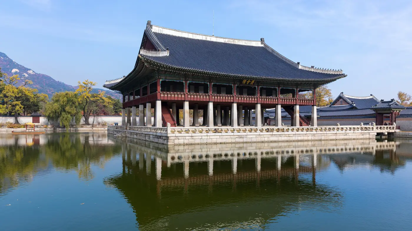
Downhill from km 8 to km 13, a slow rise of 14 m to km 20, then downhill again to km 26.
© OpenStreetMap contributors
km 0mile 0
The palace gate at the head of Gwanghwamun Square, 370 m north of the start line on Sejong-daero.
Photo: Huntsmanleader, CC0
km 1.4mile 0.9
Seoul's old south gate, which the course reaches at km 1.4 where Sejong-daero ends, 60 m from the line.
Photo: Bernard Gagnon, CC0
km 4.7mile 2.9
Zaha Hadid's design hall beside Eulji-ro, 183 m from the line where the course turns at the Dongdaemun History and Culture Park.
Photo: Nestor Lacle, CC BY 2.0
km 7.7mile 4.8
The 1926 City Hall building on Seoul Plaza, now the Seoul Metropolitan Library, 52 m from the line on Sejong-daero at km 7.7.
Photo: by ddol-mang (a flickr user), Public domain
km 8.1mile 5
The restored stream that starts at Cheonggye Plaza, where the course joins Cheonggyecheon-ro at km 8.1 and runs beside it out to Gosanja Bridge and back.
Photo: lumoplank, CC0
km 19.9mile 12.4
The bell pavilion on Jong-ro, 29 m from the line at km 19.9, just before the half way mark.
Photo: Jjw, CC BY 4.0
km 22.3mile 13.9
Dongdaemun, the east gate, on Jong-ro at km 22.3, 27 m from the line.
Photo: Richard Mortel from Riyadh, Saudi Arabia, CC BY 2.0
km 30.4mile 18.9
The park whose gate the course passes at Children's Grand Park Station, km 30.4, on Neungdong-ro and Gwangnaru-ro.
km 38.3mile 23.8
The Han River crossing from Gwangjin to Songpa, on the course at km 38.3 for 1.4 km, the last climb.
Photo: Glabb, Public domain
km 39.8mile 24.7
The 555 m tower over Jamsil Station, 267 m from the line at km 39.8.
Photo: mauveine.kim, CC0
km 42.2mile 26.2
The Olympic Stadium and Sports Complex the race finishes at; the finish line itself is on Olympic-ro by the east gate, about 530 m from the stadium's centre.
Photo: Seoul Institute, CC BY 4.0
Height drawn many times taller than life. Heights: GEDTM30.
Dashed: bridge

Your 5 gels, at the orange marksFor a 4:00 finish, one every 40 minutes
Get them on AmazonAmazon partner link
The race starts at 30.9 m on Sejong-daero and the course reaches its highest ground, 36.2 m, at km 1.7, still in the first block of streets.
The lowest reading is 12.8 m at km 27.9, and the climbing over the full distance adds up to about 60 m. The finish, in Jamsil, is at 15.1 m.
The street order is the 2026 race’s, run on 15 March 2026.
Measured
The city’s table names Cheonggyecheon-ro (청계천로) for two consecutive sections: out from the junction with Sejong-daero at about km 7.9, a turn at about km 13.7, and the same street back to Sejong-daero at about km 19.3. That is 11.4 km on one road, half of it going out and half coming back.
The stream road lies well below the streets either side of it. The outward half falls about 13 m, from 29.6 m at km 7.9 to 16.3 m at km 12.9, and the way back climbs about 13 m, from 16.8 m at km 14.4 to 29.3 m at km 19.3. That is a steady rise of about 13 m over 4.9 km, from the turn to Sejong-daero.
The street order is the 2026 race’s, run on 15 March 2026.
Measured
The first 19 km stay in the centre and are laid out as two loops off one avenue. From the start the course follows Sejong-daero (세종대로) for about 1.4 km, then Namdaemun-ro (남대문로) and Eulji-ro (을지로). It turns on Eulji-ro at about km 4.7 and comes back along it to Sejong-daero at km 7.5.
The second loop is the Cheonggyecheon-ro one, from km 7.9 to km 19.3. Only after that does the course turn onto Jong-ro (종로, from km 19.4) and head east toward Jamsil, with no further turnaround in the city’s table until the finish.
The street order is the 2026 race’s, run on 15 March 2026.
Measured
After the second loop the table lists nine sections in a row: Jong-ro (종로) from about km 19.4, Cheonho-daero (천호대로) from about km 23.7 to 29.3, Neungdong-ro (능동로), Gwangnaru-ro (광나루로), Seongsuil-ro (성수일로), Ttukseom-ro (뚝섬로), Jayang-ro (자양로), Songpa-daero (송파대로), and Olympic-ro (올림픽로) for the final 2.4 km from about km 39.8. The organiser describes the finish as the Olympic Stadium in Jamsil.
The highest point of this stretch is 30.7 m at km 19.8, just after the turn east. From km 32.2 it stays between 13.3 m and 25.3 m, and the finish reads 15.1 m.
The street order is the 2026 race’s, run on 15 March 2026.
Measured
A point to point route through central Seoul from Gwanghwamun Square, past Gyeongbokgung Palace and along the Cheonggyecheon stream, finishing at the Olympic Stadium in Jamsil.
The Seoul Marathon is a point-to-point course of 42.2 km with 59 m of climbing. Its lowest point is 13 m and its highest 36 m above sea level. Next race: Sunday 21 March 2027.
06:306:30 AM
Time not published
Time not published
Time not published
Times as published by The Dong-A Ilbo, in Seoul time, checked .
The forecast for Sunday
We hold no start time for this race, so the record is read at 09:009:00 AM, local time.
Add to calendar .ics file, times in Seoul time
Entry through the organiser
The Dong-A Ilbo, a third party. We take no entries and have no part in the race.
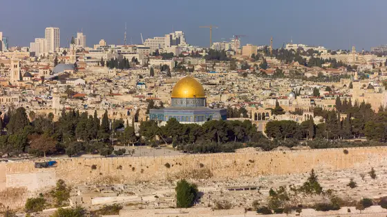
Jerusalem, Israel
Fri 19 Mar 202742.2 kmClimb 337 m
Climb summed after smoothing the heights over 1 km. The edge is this course's height profile on one scale for every race: 250 m above its lowest point fills it. Photo: Dome of the Rock, by Godot13, CC BY-SA 4.0, via Wikimedia Commons.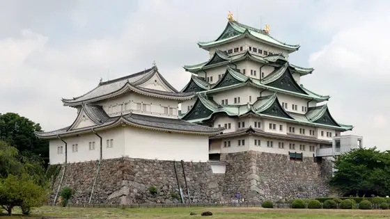
Nagoya, Japan
Sun 14 Mar 202742.2 kmClimb 52 m
Climb summed after smoothing the heights over 1 km. The edge is this course's height profile on one scale for every race: 250 m above its lowest point fills it. Photo: Nagoya Castle, by Base64, CC BY-SA 3.0, via Wikimedia Commons.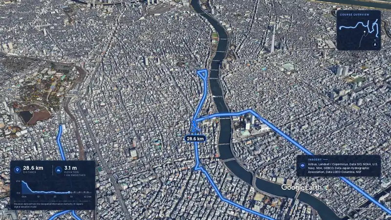 Imagery: Google Earth4:01 film
Tokyo, Japan
Sun 7 Mar 202742.2 kmClimb 16 m
Climb summed after smoothing the heights over 1 km. The edge is this course's height profile on one scale for every race: 250 m above its lowest point fills it.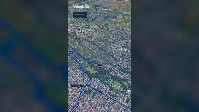 Imagery: Google Earth1:00 film
Munich, Germany
Oct 202742.2 kmClimb 59 m
Climb summed after smoothing the heights over 1 km. The edge is this course's height profile on one scale for every race: 250 m above its lowest point fills it.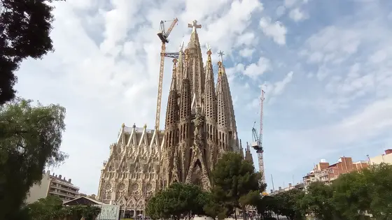
Barcelona, Spain
Sun 14 Mar 202742.2 kmClimb 59 m
Climb summed after smoothing the heights over 1 km. The edge is this course's height profile on one scale for every race: 250 m above its lowest point fills it. Photo: Sagrada Família, by Canaan, CC BY-SA 4.0, via Wikimedia Commons.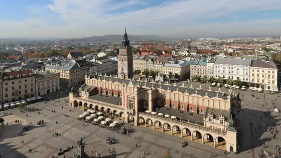
Krakow, Poland
Sun 18 Apr 202742.2 kmClimb 55 m
Climb summed after smoothing the heights over 1 km. The edge is this course's height profile on one scale for every race: 250 m above its lowest point fills it. Photo: Main Square, by Ingo Mehling, CC BY-SA 4.0, via Wikimedia Commons.Not entirely. It has 59 m of climbing over 42.2 km. The highest point is 23 m above the lowest. It finishes 16 m lower than it starts.
Sunday 21 March 2027.
Runners have 5 hours to finish.