
Entry through the organiser
Entry details on the organiser’s site →
The organiser, a third party. We take no entries and have no part in the race.
 Marathon Trip
Your trips on every device: sign in, or make a free account when you save one.
Signed in on this browser.
Sign in My marathons Account and dataLocked out? An export link you keep still opens your list in any browser.
No account: email it to me
One email with this trip and a link to open it again. We do not keep the address and send nothing else.
Only a race from our list can be emailed. An account keeps this one.
What we keep, and what we do notCheck your inbox at to confirm it.
Browse the racesEach edition the day it comes out, and nothing else. Off again with one click. How it is kept.
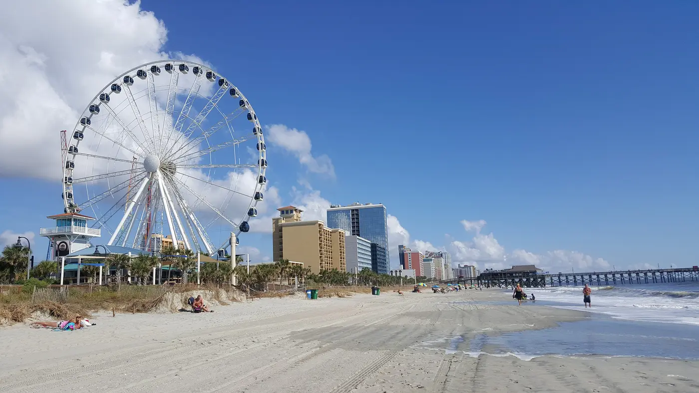
Flat from start to finish: 8 m between the lowest and the highest point.
© OpenStreetMap contributors
km 18.2mile 11.3
The course runs along North Ocean Boulevard, within about 55 m of the wheel; the organiser puts an aid station on that road at 8th Avenue North, at mile 11.5.
Photo: Claire P. from Northern Virginia, USA, CC BY 2.0
km 18.3mile 11.4
The course follows North Ocean Boulevard along the oceanfront; the organiser puts an aid station at 8th Avenue North, at mile 11.5.
Photo: U.S. Air Force photo/Tech. Sgt. Louis L. Rivers, Public domain
km 41.4mile 25.7
The organiser starts the race in the parking lot at 1251 21st Avenue North and puts the finish line at the ballpark.
Photo: transplanted mountaineer from Myrtle Beach, SC, U.S.A., CC BY 2.0
Height drawn many times taller than life. Heights: GEDTM30.

Your 5 gels, at the orange marksFor a 4:00 finish, one every 40 minutes
Get them on AmazonAmazon partner link
The organiser’s homepage describes the routes as “flat, fast, certified, and scenic”, and its FAQ says the full and half marathon are both USATF certified and that the marathon is a Boston Qualifier.
Along the 2026 course map the ground runs between 2.4 m, at km 13.1, and 10.7 m, at km 27.0. The start and finish by the stadium both sit at about 7 m. The whole race climbs 42.0 m, and the gap between the highest and the lowest point of the course is 8.3 m. In every 3 km stretch the ground changes by less than 8 m. A watch may add a little more than this on overpasses and short ramps.
Measured
The organiser’s 2026 timeline for Saturday 7 March has the elite invitational starting at 6:20 AM, the marathon and half marathon at 6:35 AM, and wheelchair and handcycle participants at 6:30 AM. The start line is in the stadium parking lot, 1251 21st Avenue North, and the finish line is at the stadium. The half marathon course closed at 10:00 AM, the marathon course at 1:15 PM, and the post-race party ended at 1:30 PM.
The FAQ puts the marathon time limit at 6 hours 30 minutes, “a 15-minute per mile pace”, and says it comes from the event permit: once the permitted period ends the roads reopen and runners still on the course must move to the sidewalk.
Sourced
The organiser lists the 2026 aid stations by street and mile. Mile 2 is at North Kings Highway and 5th Avenue North, mile 4 at South Kings Highway and Harrelson Boulevard, mile 6 at Farrow Parkway and Howard Avenue, and mile 8.5 at South Ocean Boulevard and 29th Avenue South. From there the stations follow Ocean Boulevard north: 9th Avenue South at mile 10, 8th Avenue North at mile 11.5, 49th Avenue North at mile 14.5 and 67th Avenue North at mile 16.
The last four are Grand Dunes Boulevard at mile 18.5, North Kings Highway and 72nd Avenue North at mile 20.5, Perrin’s Path and Granddaddy Drive at mile 22.5, and a parking lot at mile 24.5. The first six serve both the full and the half marathon; the stations from mile 14.5 on are for the full.
Sourced
The Myrtle Beach Marathon is a flat course of 42.2 km (26.2 miles) with 42 m (138 ft) of climbing. Its lowest point is 2 m (7 ft) and its highest 11 m (36 ft) above sea level.
Entry through the organiser
The organiser, a third party. We take no entries and have no part in the race.
More races to look at after the Myrtle Beach Marathon.
 Imagery: Google Earth4:00 film
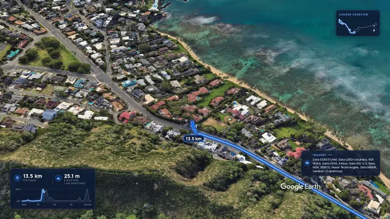
Honolulu, United States
Sun 13 Dec42.2 kmClimb 88 m
Climb summed after smoothing the heights over 1 km. The edge is this course's height profile on one scale for every race: 250 m above its lowest point fills it.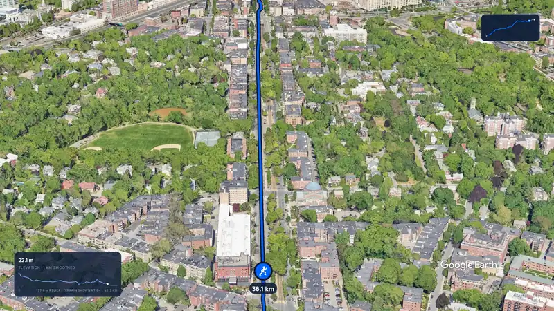 Imagery: Google Earth3:12 film
Boston, United States
Mon 19 Apr 202742.2 kmClimb 105 m
Climb summed after smoothing the heights over 1 km. The edge is this course's height profile on one scale for every race: 250 m above its lowest point fills it.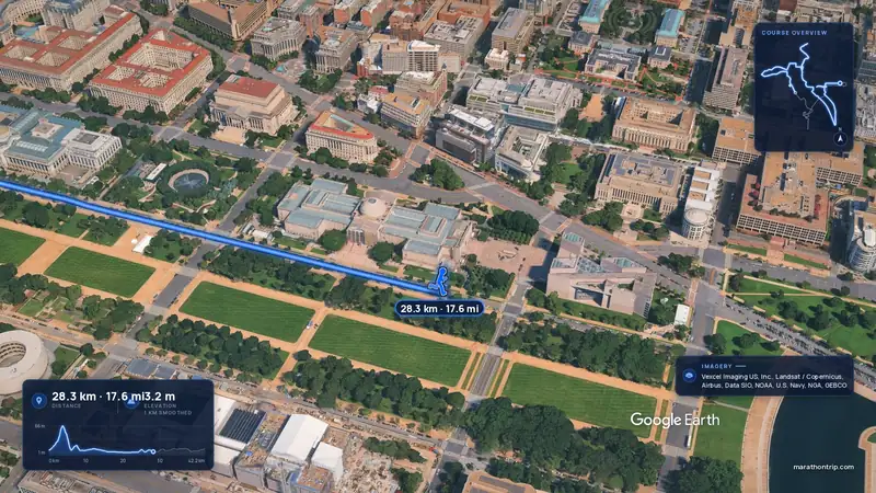 Imagery: Google Earth4:00 film
Washington, D.C., United States
Oct 202742.2 kmClimb 112 m
Climb summed after smoothing the heights over 1 km. The edge is this course's height profile on one scale for every race: 250 m above its lowest point fills it.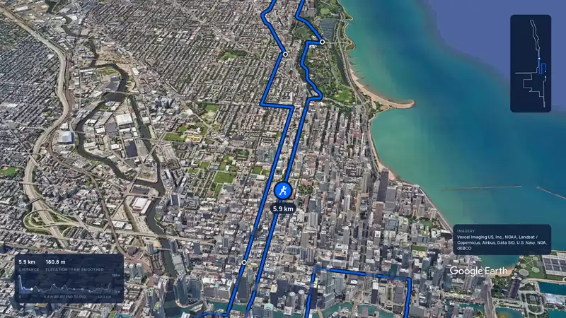 Imagery: Google Earth3:59 filmBallot open
Chicago, United States
Sun 10 Oct 202742.2 kmClimb 20 m
Climb summed after smoothing the heights over 1 km. The edge is this course's height profile on one scale for every race: 250 m above its lowest point fills it.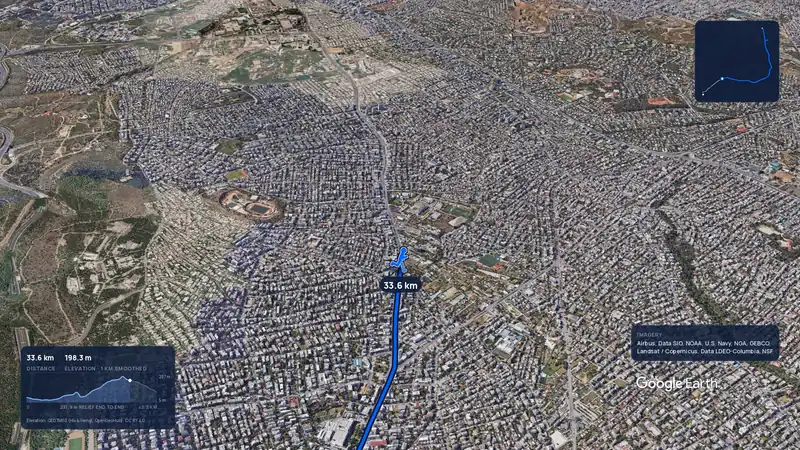 Imagery: Google Earth3:56 filmRace week
Athens, Greece
Sun 8 Nov42.2 kmClimb 281 m
Climb summed after smoothing the heights over 1 km. The edge is this course's height profile on one scale for every race: 250 m above its lowest point fills it.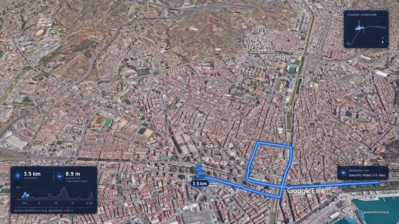 Imagery: Google Earth3:50 filmRace week
Malaga, Spain
Sun 8 Nov42.2 kmClimb 63 m
Climb summed after smoothing the heights over 1 km. The edge is this course's height profile on one scale for every race: 250 m above its lowest point fills it.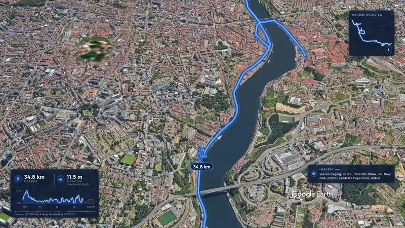 Imagery: Google Earth3:53 filmRace week
Porto, Portugal
Sun 8 Nov42.2 kmClimb 133 m
Climb summed after smoothing the heights over 1 km. The edge is this course's height profile on one scale for every race: 250 m above its lowest point fills it.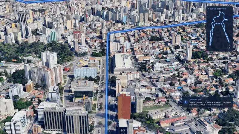 Imagery: Google Earth3:51 filmEntry open
Curitiba, Brazil
Sun 15 Nov42.2 kmClimb 128 m
Climb summed after smoothing the heights over 1 km. The edge is this course's height profile on one scale for every race: 250 m above its lowest point fills it.