
Entry through the organiser
Entry details on the organiser’s site →
The organiser, a third party. We take no entries and have no part in the race.
 Marathon Trip
Your trips on every device: sign in, or make a free account when you save one.
Signed in on this browser.
Sign in My marathons Account and dataLocked out? An export link you keep still opens your list in any browser.
No account: email it to me
One email with this trip and a link to open it again. We do not keep the address and send nothing else.
Only a race from our list can be emailed. An account keeps this one.
What we keep, and what we do notCheck your inbox at to confirm it.
Browse the racesEach edition the day it comes out, and nothing else. Off again with one click. How it is kept.
A climb of 57 m to km 10, a long climb of 526 m from km 12 to km 22, then a steep drop home from km 28.
© OpenStreetMap contributors
km 0.6mile 0.3
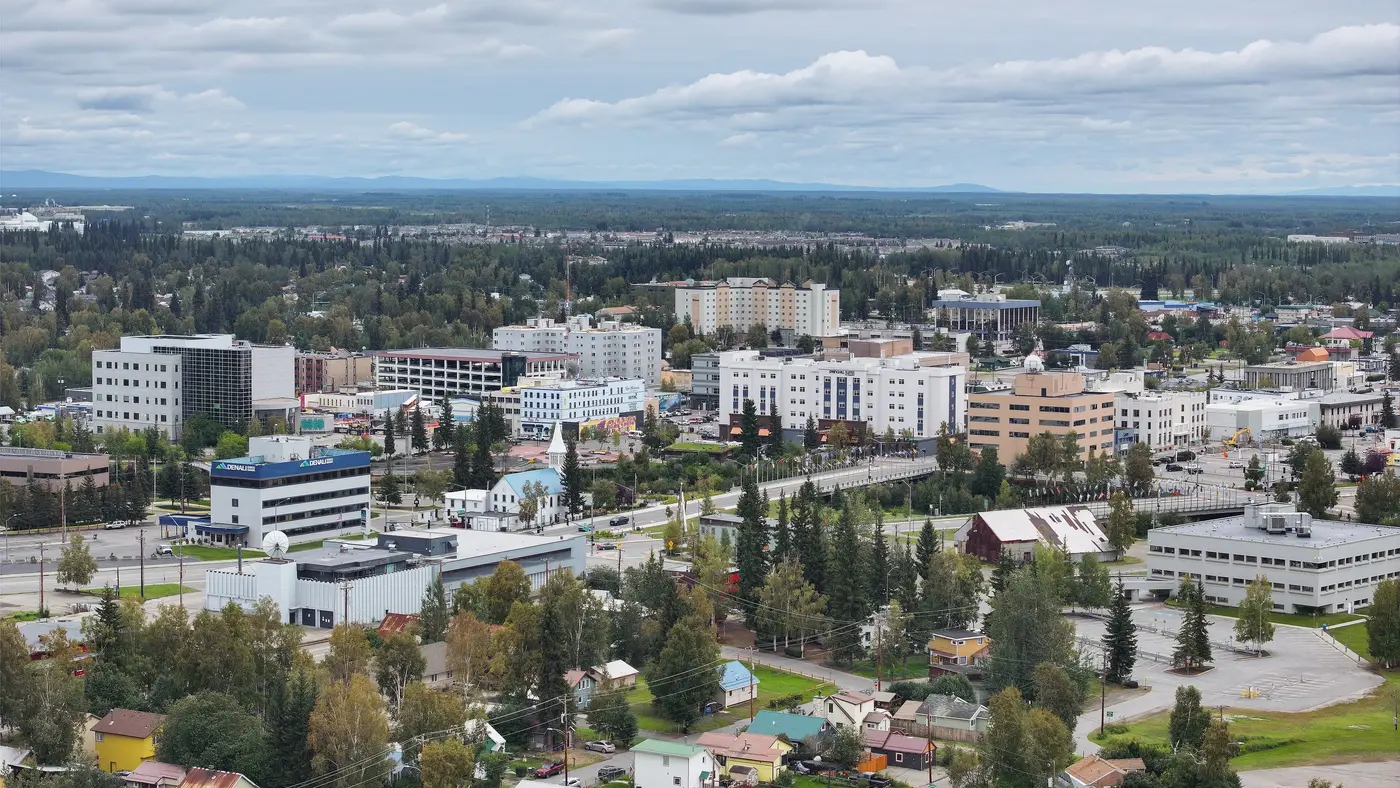
The organiser starts and ends the marathon on the soccer field near the Student Recreation Center on the university campus.
Photo: Quintin Soloviev, CC BY 4.0
km 21.2mile 13.2
The organiser calls Ester Dome the pinnacle of the race: the course climbs it from about mile 9, runs the ridge out and back, and descends it after mile 17.
Height drawn many times taller than life. Heights: GEDTM30.

Your 5 gels, at the orange marksFor a 4:00 finish, one every 40 minutes
Get them on AmazonAmazon partner link
The marathon starts and finishes on the athletic field at the University of Alaska Fairbanks. The FAQ says “The majority of our course is on trails and gravel roads, although there are some sections on road shoulders and bike paths”, which is why the course is not certified and “is NOT certified as a Boston Marathon qualifier”. It adds: “Plan on adding 45 to 90 seconds a mile to your ‘normal’ marathon time.” The organiser measures the distance with calibrated bicycles and says a GPS watch will read short.
The time limit is ten hours, a limit the home page calls “great even for hikers who can keep a steady pace”.
The course crosses the Alaska Railroad twice. At the first crossing, at about mile 8, a runner who meets a train must wait and the clock keeps running. At the second, almost 25 miles in, the clock stops for any runner held by a train and the delay is deducted from the finish time.
The 2026 race, the 63rd, was run on Saturday 19 September and started at 8:00 a.m.
Sourced
For the first 14 km the course stays between about 150 and 245 m, across the UAF trails and the Ballaine and Yankovich roads. The organiser’s FAQ says the ascent of Ester Dome “begins ‘officially’ near the 9-mile mark” and reaches the first summit, Ullrhavn, 3.4 miles and “about 1500 vertical feet/450 vertical meters later”. The road is at 222 m at mile 9 (km 14.5) and 641 m at Ullrhavn (km 20.0), a rise of about 420 m, and the line keeps rising to 710 m at km 21.7, the highest point of the course.
In all the course climbs about 750 m on its long rises. The organiser’s own figure is “about 3,300 feet of elevation gain and the same amount of descent”, roughly 1,000 m, counting every short rise on the trails.
Measured
The FAQ describes the out-and-back as the section that “begins at the saddle between the two Ester Dome peaks, at mile 13.7. It goes west along the summit ridge of Ester Dome to the turnaround (approximately mile 14.75), then returns by the same route to mile 16.6.” It “involves ascending four summits on the way out, and the same four summits on the return”, mostly on gravel and mining road that “can often have many puddles and will likely be rutted in places”.
The detailed course description adds that the turnaround is on a downhill, so a runner who has just descended has to stop and climb back, and that “awesome views of Denali” are sometimes there, “and sometimes not as runners may be engulfed in the clouds”. The aid station at the turnaround serves water and food.
Sourced
The FAQ calls the Chute “the semi-suicidal plummet”, which “drops several hundred feet in about 1/3 of a mile of rutted, loose gravel”. After it the course turns onto a trail that keeps descending, comes out on Henderson Road past mile 19, and picks up pavement just past mile 20. By the power lines before Gold Hill Road, the FAQ says, “you have put ‘the Dome’ behind you”.
The course is at 664 m at km 27.7 and 215 m at km 34.6, about 450 m lower, and the final 8 km stay between 146 m and 220 m. The detailed course description puts one more steep half-mile climb after mile 24.8, then rolling double track below the Butrovich Building and the finish on the soccer field.
Measured
The Equinox Marathon is a hilly course of 42.2 km (26.2 miles) with 750.1 m (2,461 ft) of climbing. Its lowest point is 146 m (479 ft) and its highest 710 m (2,329 ft) above sea level.
Entry through the organiser
The organiser, a third party. We take no entries and have no part in the race.
More races to look at after the Equinox Marathon.
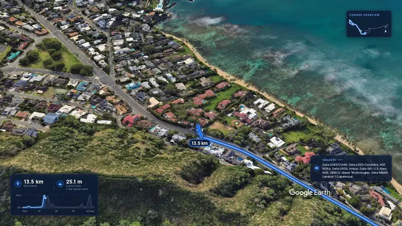 Imagery: Google Earth4:00 film
Honolulu, United States
Sun 13 Dec42.2 kmClimb 88 m
Climb summed after smoothing the heights over 1 km. The edge is this course's height profile on one scale for every race: 250 m above its lowest point fills it.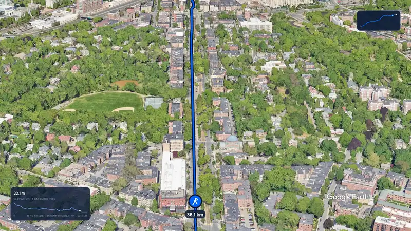 Imagery: Google Earth3:12 film
Boston, United States
Mon 19 Apr 202742.2 kmClimb 105 m
Climb summed after smoothing the heights over 1 km. The edge is this course's height profile on one scale for every race: 250 m above its lowest point fills it.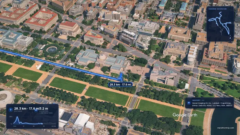 Imagery: Google Earth4:00 film
Washington, D.C., United States
Oct 202742.2 kmClimb 112 m
Climb summed after smoothing the heights over 1 km. The edge is this course's height profile on one scale for every race: 250 m above its lowest point fills it.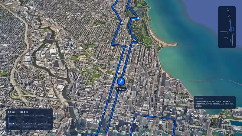 Imagery: Google Earth3:59 filmBallot open
Chicago, United States
Sun 10 Oct 202742.2 kmClimb 20 m
Climb summed after smoothing the heights over 1 km. The edge is this course's height profile on one scale for every race: 250 m above its lowest point fills it.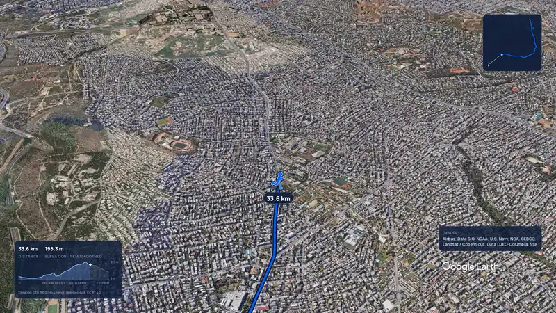 Imagery: Google Earth3:56 filmRace week
Athens, Greece
Sun 8 Nov42.2 kmClimb 281 m
Climb summed after smoothing the heights over 1 km. The edge is this course's height profile on one scale for every race: 250 m above its lowest point fills it.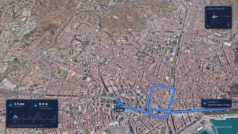 Imagery: Google Earth3:50 filmRace week
Malaga, Spain
Sun 8 Nov42.2 kmClimb 63 m
Climb summed after smoothing the heights over 1 km. The edge is this course's height profile on one scale for every race: 250 m above its lowest point fills it.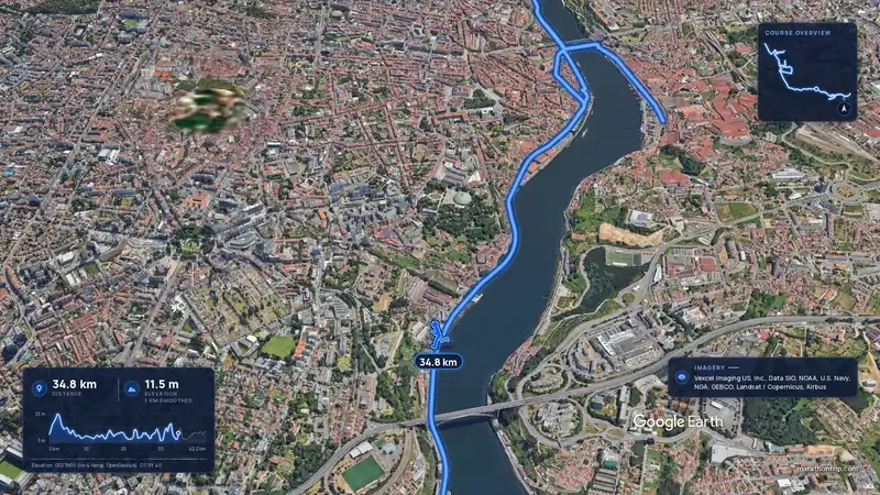 Imagery: Google Earth3:53 filmRace week
Porto, Portugal
Sun 8 Nov42.2 kmClimb 133 m
Climb summed after smoothing the heights over 1 km. The edge is this course's height profile on one scale for every race: 250 m above its lowest point fills it.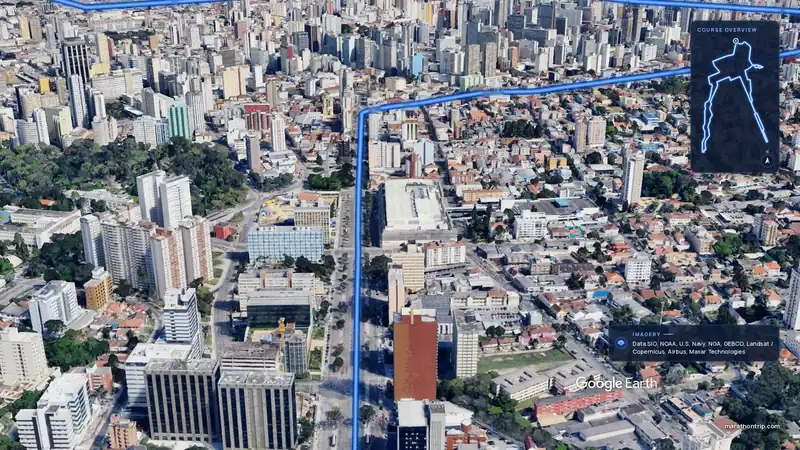 Imagery: Google Earth3:51 filmEntry open
Curitiba, Brazil
Sun 15 Nov42.2 kmClimb 128 m
Climb summed after smoothing the heights over 1 km. The edge is this course's height profile on one scale for every race: 250 m above its lowest point fills it.