
Entry through the organiser
Entry details on the organiser’s site →
RUNVAN (The Vancouver International Marathon Society), a third party. We take no entries and have no part in the race.
 Marathon Trip
Your trips on every device: sign in, or make a free account when you save one.
Signed in on this browser.
Sign in My marathons Account and dataLocked out? An export link you keep still opens your list in any browser.
No account: email it to me
One email with this trip and a link to open it again. We do not keep the address and send nothing else.
Only a race from our list can be emailed. An account keeps this one.
What we keep, and what we do notCheck your inbox at to confirm it.
Browse the racesEach edition the day it comes out, and nothing else. Off again with one click. How it is kept.
Downhill from km 4 to km 8, a steep climb of 75 m to km 13, then downhill again to km 20.
© OpenStreetMap contributors
km 0.1mile 0.1
Photo: GoToVan from Vancouver, Canada, CC BY 2.0
km 22mile 13.7
The halfway mark is at Spanish Banks West beach, beside Northwest Marine Drive.
Photo: Jester7777, Public domain
km 27.6mile 17.1
The course runs Cornwall Avenue along the north edge of Kitsilano Beach Park.
Photo: dronepicr, CC BY 2.0
km 29.1mile 18.1
Photo: Thomas Quine, CC BY 2.0
km 31.1mile 19.3
The course leaves Beach Avenue for the seawall at the Inukshuk statue.
Photo: Peter Graham, CC BY 2.0
km 35mile 21.8
The seawall passes at the foot of Siwash Rock.
Photo: Ccyyrree, CC0
km 36mile 22.4
The seawall runs under the south end of the bridge.
Photo: Wilfried Bock from Fin, CC0
km 38.6mile 24
The seawall rounds Brockton Point at the lighthouse; the line is on it.
Photo: Andrea Schaffer, CC BY 2.0
km 42.2mile 26.2
The cauldron stands in Jack Poole Plaza on the Coal Harbour waterfront, 437 m east of the finish on West Pender Street.
Photo: Jc1599, CC BY 4.0
Height drawn many times taller than life. Heights: GEDTM30.
Dashed: bridge

Your 5 gels, at the orange marksFor a 4:00 finish, one every 40 minutes
Get them on AmazonAmazon partner link
The first half is two descents with a hill between them. The start is inside Queen Elizabeth Park, on Midlothian Avenue, about 79 m above sea level, and the road first goes up a little: the highest point of the whole course is 97 m at km 1.4, 95 m above the lowest. Then it comes down, falling about 70 m between km 4.3 and km 7.8, to 13 m.
From there it climbs back. Between km 8 and km 13 the road rises from under 15 m to about 88 m through the university campus and Pacific Spirit Park, where the organiser’s route runs along Imperial Drive. That is the real hill of the race, and it comes after only a quarter of the distance.
The second descent is the long one. From km 18.4 the road falls from 77 m to about 9 m by km 21, around Spanish Banks, where the organiser puts the halfway point. After that, with one bridge, it stays near sea level to the end.
The whole course climbs about 198 m.
Measured
After Spanish Banks the course stays low, mostly between 5 m and 12 m, on its way along Point Grey Road and Cornwall Avenue toward Kitsilano Point. The one structure on the way is the Burrard Bridge, which the organiser’s route crosses on Cornwall Avenue. On the profile it lifts the road from about 7 m to 24 m between km 28.9 and km 29.8, a climb that is over in under a kilometre.
Past the bridge the route turns onto Beach Avenue and enters “the entire length of the Seawall around Stanley Park”, in the organiser’s words. The seawall is the lowest part of the day: the lowest point on the course is 2.4 m, at km 40.7.
The last 1.5 km go up. The finish is on W Pender Street between Bute and Thurlow, and the profile rises about 27 m from km 40.7 to the line, from 2 m to 30 m. It is a short finishing climb after 40 km at sea level, not a hill.
Measured
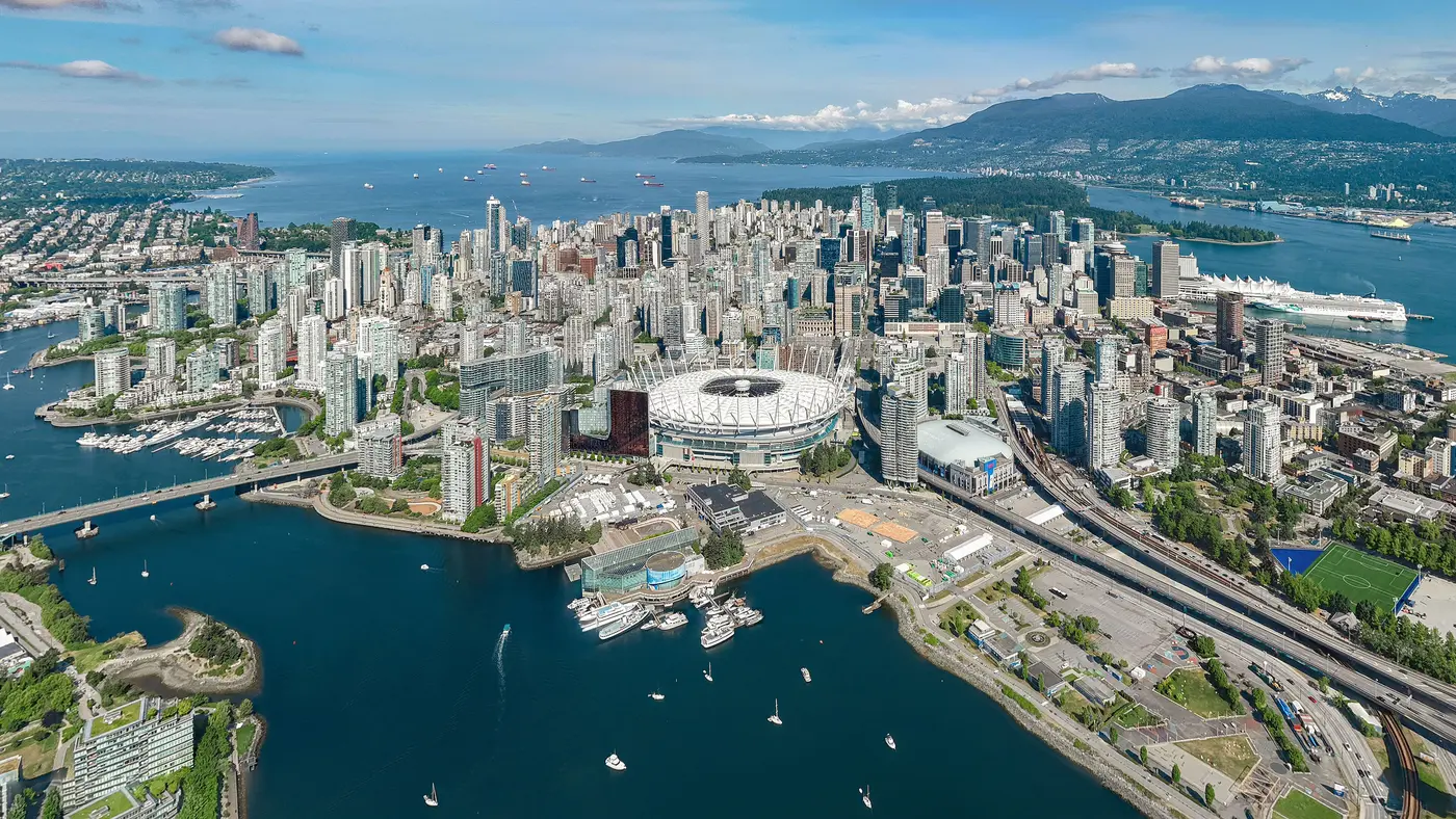
Point to point past mountains and the Stanley Park seawall, crossing the Burrard Bridge before finishing in downtown Vancouver.
The Vancouver Marathon is a hilly point-to-point course of 42.2 km with 198 m of climbing. Its lowest point is 2 m and its highest 97 m above sea level. Next race: Sunday 2 May 2027, starting at 08:30.
10:0010:00 AM–19:007:00 PM
09:009:00 AM–17:005:00 PM
08:008:00 AM–15:003:00 PM
08:308:30 AM
Time not published
Time not published
Times as published by RUNVAN (The Vancouver International Marathon Society), in Vancouver time, checked .
The forecast for Sunday
We hold no start time for this race, so the record is read at 09:009:00 AM, local time.
Add to calendar .ics file, times in Vancouver time
Entry through the organiser
RUNVAN (The Vancouver International Marathon Society), a third party. We take no entries and have no part in the race.
Lima, Peru
May 202742.2 kmClimb 140 m
Climb summed after smoothing the heights over 1 km. The edge is this course's height profile on one scale for every race: 250 m above its lowest point fills it. Photo: Miraflores District, by Mira4espina78y, CC BY-SA 3.0, via Wikimedia Commons.
Montevideo, Uruguay
May 202742.2 kmClimb 149 m
Climb summed after smoothing the heights over 1 km. The edge is this course's height profile on one scale for every race: 250 m above its lowest point fills it. Photo: Palacio Salvo, by Mx. Granger, CC0, via Wikimedia Commons. Imagery: Google Earth2:01 film
Pittsburgh, United States
Sun 2 May 202742.2 kmClimb 151 m
Climb summed after smoothing the heights over 1 km. The edge is this course's height profile on one scale for every race: 250 m above its lowest point fills it.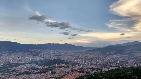
Medellín, Colombia
Sep 202742.2 kmClimb 191 m
Climb summed after smoothing the heights over 1 km. The edge is this course's height profile on one scale for every race: 250 m above its lowest point fills it. Photo: Medellín, by Luis90f, CC BY-SA 4.0, via Wikimedia Commons.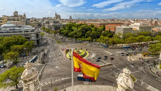
Madrid, Spain
Sun 25 Apr 202742.2 kmClimb 206 m
Climb summed after smoothing the heights over 1 km. The edge is this course's height profile on one scale for every race: 250 m above its lowest point fills it. Photo: Plaza de Cibeles, by Miguel Diaz from Boadilla del Monte, España-Spain, CC BY-SA 2.0, via Wikimedia Commons.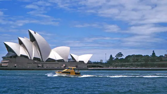 Ballot open
Sydney, Australia
Sun 29 Aug 202742.2 kmClimb 188 m
Climb summed after smoothing the heights over 1 km. The edge is this course's height profile on one scale for every race: 250 m above its lowest point fills it. Photo: Sydney Opera House, by W. Bulach, CC BY-SA 4.0, via Wikimedia Commons.No, it is a hilly course: 198 m of climbing over 42.2 km. The highest point is 95 m above the lowest. It finishes 49 m lower than it starts.
Sunday 2 May 2027. The start is at 08:30.
Runners have 6 hours to finish.