
Entry through the organiser
Entry details on the organiser’s site →
Intendencia de Montevideo, a third party. We take no entries and have no part in the race.
 Marathon Trip
Your trips on every device: sign in, or make a free account when you save one.
Signed in on this browser.
Sign in My marathons Account and dataLocked out? An export link you keep still opens your list in any browser.
No account: email it to me
One email with this trip and a link to open it again. We do not keep the address and send nothing else.
Only a race from our list can be emailed. An account keeps this one.
What we keep, and what we do notCheck your inbox at to confirm it.
Browse the racesEach edition the day it comes out, and nothing else. Off again with one click. How it is kept.
A slow rise of 42 m from km 7 to km 18, downhill from km 22 to km 39, then a climb of 37 m home.
© OpenStreetMap contributors
km 0mile 0
The race starts on Avenida 18 de Julio beside the municipal government's brick tower.
Photo: Ypsilon from Finland, CC0
km 2.5mile 1.6
The marble parliament building at the end of Avenida de las Leyes.
Photo: Marcelomenezes96, CC BY 4.0
km 19.3mile 12
The bronze ox-cart monument in Parque Batlle, beside the Avenida Centenario stretch.
Photo: Mx. Granger, CC0
km 19.6mile 12.2
Site of the first World Cup final in 1930, a short way off the course near Avenida Ricaldoni.
Photo: Ypsilon from Finland, CC0
km 33.3mile 20.7
The city's busiest beach, run along the Rambla Mahatma Gandhi.
Photo: Ypsilon from Finland, CC0
km 34.1mile 21.2
The alchemist-architect's castle in Punta Carretas, beside the Rambla.
km 37.4mile 23.3
The beach below Parque Rodo on the Rambla Wilson.
km 40.8mile 25.3
Uruguay's oldest theatre, beside Plaza Independencia.
Photo: Ypsilon from Finland, CC0
km 40.9mile 25.4
The old city's gate onto Plaza Independencia, just before the finish stretch.
Photo: Jbuxedas, CC BY 4.0
km 41mile 25.5
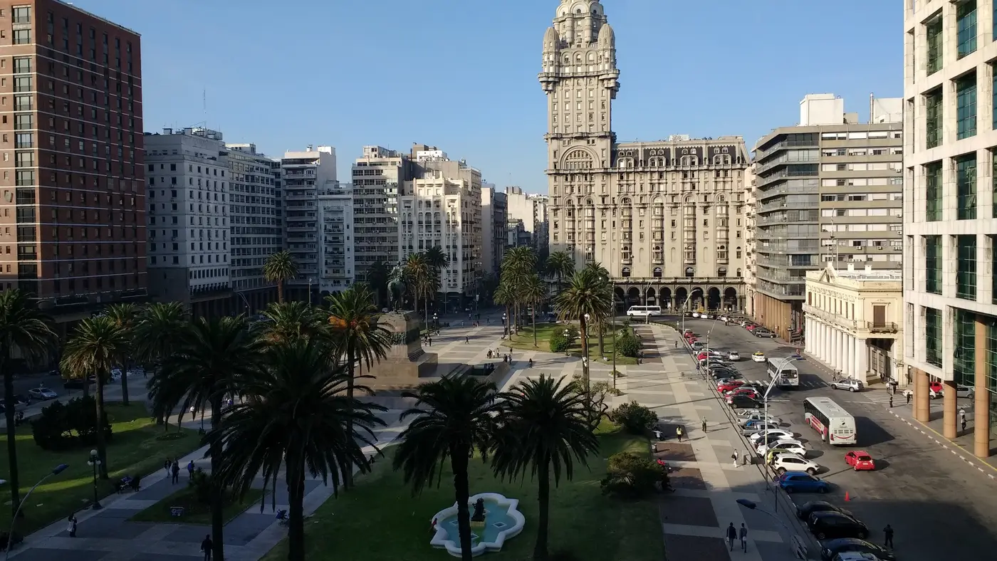
The 1928 tower on Plaza Independencia, passed in the last 1.2 km.
Photo: Ypsilon from Finland, CC0
km 42.2mile 26.2
The finish is on Avenida 18 de Julio, where the race started.
Height drawn many times taller than life. Heights: GEDTM30.

Your 5 gels, at the orange marksFor a 4:00 finish, one every 40 minutes
Get them on AmazonAmazon partner link
The profile of the organiser’s 2026 course file shows one rise worth the name. From about 12.6 m at km 10.3 the road climbs to about 51.5 m at km 17.8, then falls to about 4.8 m at km 25.4. The ground from there to km 40 stays between about 2.7 m and 8.3 m, so the stretch before the finish runs close to sea level.
No 2027 course is published yet, so this is the 2026 course.
Measured
The organiser puts the start and finish on Avenida 18 de Julio opposite the forecourt of the Intendencia de Montevideo. The 2026 course returns there from the low ground: it is at about 2.7 m at km 38.8, about 7.4 m at km 40, and about 39.5 m at the finish, with most of the 37 m gained in the last 2 km.
The course is the 2026 file; no 2027 course is published yet.
Measured
A run along Avenida 18 de Julio past Montevideo's city hall, part of a marathon circuit spanning Argentina, Brazil, Paraguay, Peru and Uruguay.
The Maratón de Montevideo is a hilly loop of 42.2 km with 149.3 m of climbing. Its lowest point is 3 m and its highest 52 m above sea level.
Entry through the organiser
Intendencia de Montevideo, a third party. We take no entries and have no part in the race.
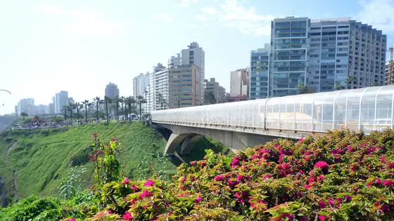
Lima, Peru
May 202742.2 kmClimb 140 m
Climb summed after smoothing the heights over 1 km. The edge is this course's height profile on one scale for every race: 250 m above its lowest point fills it. Photo: Miraflores District, by Mira4espina78y, CC BY-SA 3.0, via Wikimedia Commons.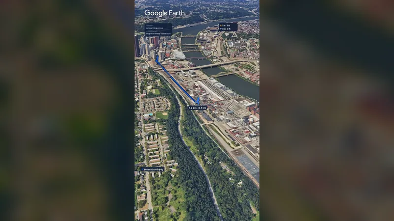 Imagery: Google Earth2:01 film
Pittsburgh, United States
Sun 2 May 202742.2 kmClimb 151 m
Climb summed after smoothing the heights over 1 km. The edge is this course's height profile on one scale for every race: 250 m above its lowest point fills it.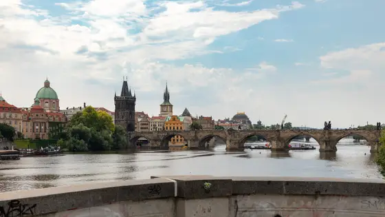
Prague, Czechia
Sun 2 May 202742.2 kmClimb 98 m
Climb summed after smoothing the heights over 1 km. The edge is this course's height profile on one scale for every race: 250 m above its lowest point fills it. Photo: Charles Bridge, by Dietmar Rabich, CC BY-SA 4.0, via Wikimedia Commons.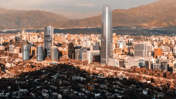
Santiago, Chile
Sun 16 May 202742.2 kmClimb 173 m
Climb summed after smoothing the heights over 1 km. The edge is this course's height profile on one scale for every race: 250 m above its lowest point fills it. Photo: Santiago, by Omnespsx ( D • ES ), CC BY-SA 4.0, via Wikimedia Commons.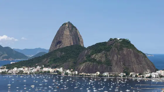
Rio de Janeiro, Brazil
Sun 30 May 202742.2 kmClimb 110 m
Climb summed after smoothing the heights over 1 km. The edge is this course's height profile on one scale for every race: 250 m above its lowest point fills it. Photo: Sugarloaf Mountain, by Arne Müseler, CC BY-SA 3.0 de, via Wikimedia Commons.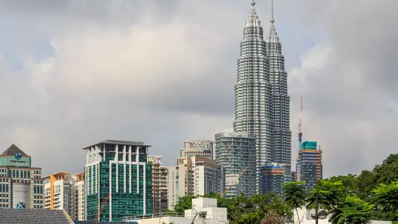
Kuala Lumpur, Malaysia
Oct 202742.2 kmClimb 147 m
Climb summed after smoothing the heights over 1 km. The edge is this course's height profile on one scale for every race: 250 m above its lowest point fills it. Photo: Petronas Towers, by CEphoto, Uwe Aranas, CC BY-SA 3.0, via Wikimedia Commons.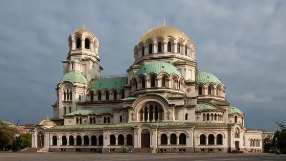
Sofia, Bulgaria
Oct 202742.2 kmClimb 146 m
Climb summed after smoothing the heights over 1 km. The edge is this course's height profile on one scale for every race: 250 m above its lowest point fills it. Photo: Alexander Nevsky Cathedral, by Plamen Agov ( user:MrPanyGoff ), CC BY-SA 4.0, via Wikimedia Commons.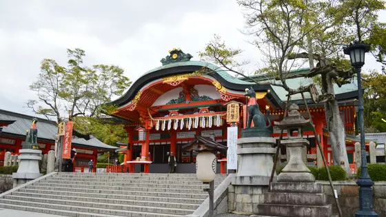 Entry open
Kyoto, Japan
Sun 21 Feb 202742.2 kmClimb 144 m
Climb summed after smoothing the heights over 1 km. The edge is this course's height profile on one scale for every race: 250 m above its lowest point fills it. Photo: Fushimi Inari-taisha, by Saigen Jiro, CC0, via Wikimedia Commons.No, it is a hilly course: 149.3 m of climbing over 42.2 km. The highest point is 49 m above the lowest.
Entry is through the organiser. Entry fee: UYU 1,700 (UYU 2,000 from abroad, for the 2026 race). Entry details on the organiser’s site