
Entry through the organiser
Entry details on the organiser’s site →
Peru Runners, a third party. We take no entries and have no part in the race.
 Marathon Trip
Your trips on every device: sign in, or make a free account when you save one.
Signed in on this browser.
Sign in My marathons Account and dataLocked out? An export link you keep still opens your list in any browser.
No account: email it to me
One email with this trip and a link to open it again. We do not keep the address and send nothing else.
Only a race from our list can be emailed. An account keeps this one.
What we keep, and what we do notCheck your inbox at to confirm it.
Browse the racesEach edition the day it comes out, and nothing else. Off again with one click. How it is kept.
A climb of 55 m to km 7, downhill to km 21, then another climb of 52 m to km 31.
© OpenStreetMap contributors
km 0mile 0
The start is beside Parque Kennedy in Miraflores, on Avenida Jose Larco, with the Municipalidad de Miraflores and the Virgen Milagrosa church on the park's edge.
Photo: Francisco Anzola, CC BY 2.0
km 5.7mile 3.5
The lit fountain park beside Avenida Arequipa, passed on the way north at km 5.7.
Photo: Avodrocc, CC BY 2.0
km 6.1mile 3.8
Photo: Christian Córdova, CC BY 2.0
km 6.9mile 4.3
The Palacio de la Exposicion, home of the art museum, in the Parque de la Exposicion beside Avenida Garcilaso de la Vega at km 6.9.
Photo: UE en Perú, CC BY 2.0
km 7.2mile 4.5
The Palace of Justice on Paseo de la Republica, a block east of Garcilaso de la Vega on the way to the turn at km 7.2.
Photo: comicpie, CC BY 2.0
km 8.7mile 5.4
The roundabout in the old city that the course runs round on its way back south at km 8.7.
Photo: Ministerio de Defensa del Perú from Perú, Perú, CC BY 2.0
km 9.2mile 5.7
The roundabout where Avenida Guzman Blanco rejoins Avenida Arequipa at km 9.2, the end of the northern loop.
km 17.7mile 11
A pre-Inca adobe pyramid in Miraflores, a few blocks east of Avenida Arequipa where the course runs south at km 17.7.
Photo: McKay Savage, CC BY 2.0
km 21.9mile 13.6
The clifftop Love Park with its mosaic wall, on the Malecon the course follows at km 21.9.
Photo: David Berkowitz from New York, NY, USA, CC BY 2.0
km 22mile 13.7
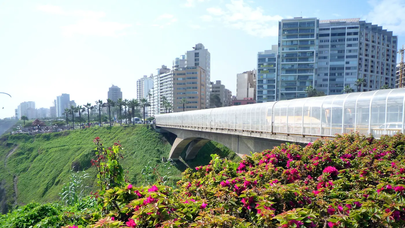
The bridge over the Bajada Balta road beside the Malecon at km 22.0.
Photo: Avodrocc, CC BY 2.0
km 42.2mile 26.2
Photo: David Bush, CC BY 2.0
Height drawn many times taller than life. Heights: GEDTM30.
Dashed: bridge

Your 5 gels, at the orange marksFor a 4:00 finish, one every 40 minutes
Get them on AmazonAmazon partner link
The start and the finish are both beside Parque Kennedy, on Avenida José Larco in Miraflores. From there the course goes north along the Avenida Arequipa corridor and back south twice, so about 41% of the distance is road that is run in both directions.
The two laps are not the same. The first goes farthest north: it reaches Plaza Bolognesi in the old city at km 8.7 and ends its northern loop at Plaza Jorge Chávez at km 9.2. The second lap’s high point, at km 30.6, is 21 m lower than the first lap’s. Between them, around km 22, the course leaves the corridor for the clifftop sea road before turning inland again for the second lap.
This is the 2026 course.
Measured
The marathon starts at 89 m, climbs steadily to 144 m at km 7.4, and then falls back to the coast. The lowest point is 69.7 m, at km 22.0 on the sea road. The second lap climbs again to 123 m at km 30.6, falls to 71 m around km 38, and then rises about 15 m over the last 4 km to a finish at 86 m.
The 140.3 m of climbing is split almost evenly: 68.7 m before the half-marathon mark and 71.6 m after it. The effort is in the long swells, not in any single hill. These figures are for the 2026 course.
Measured
The sea road is the only stretch of the course that is not on the avenues, and it comes at the halfway mark. It passes Parque del Amor, the clifftop park with its mosaic wall, at km 21.9, and crosses the Villena Rey bridge at km 22.0, before the course turns away from the sea along Avenida Armendáriz at about km 23.
The course is also at its lowest here, 69.7 m above sea level at km 22.0, so the second lap starts with a climb back up toward the avenues. These figures are for the 2026 course.
Measured
A run through Lima's historic centre and along the Miraflores malecón above the Pacific, in Peru's capital city.
The Lima 42K is a hilly multi-lap course of 42.2 km with 140.3 m of climbing. Its lowest point is 70 m and its highest 144 m above sea level.
Entry through the organiser
Peru Runners, a third party. We take no entries and have no part in the race.
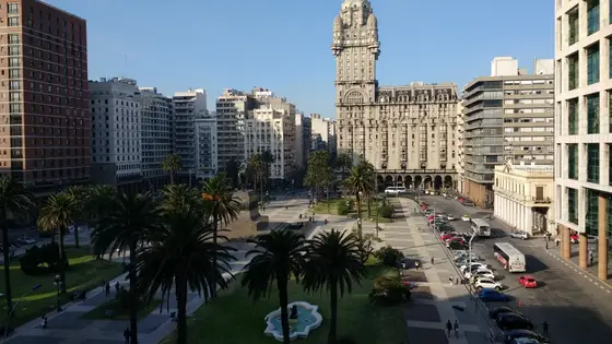
Montevideo, Uruguay
May 202742.2 kmClimb 149 m
Climb summed after smoothing the heights over 1 km. The edge is this course's height profile on one scale for every race: 250 m above its lowest point fills it. Photo: Palacio Salvo, by Mx. Granger, CC0, via Wikimedia Commons.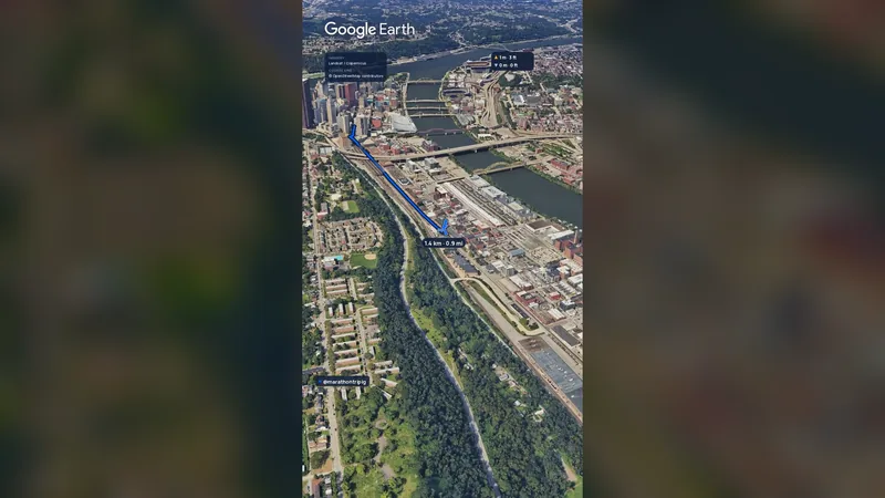 Imagery: Google Earth2:01 film
Pittsburgh, United States
Sun 2 May 202742.2 kmClimb 151 m
Climb summed after smoothing the heights over 1 km. The edge is this course's height profile on one scale for every race: 250 m above its lowest point fills it.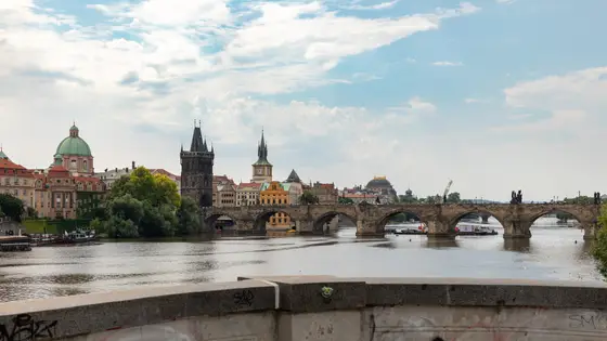
Prague, Czechia
Sun 2 May 202742.2 kmClimb 98 m
Climb summed after smoothing the heights over 1 km. The edge is this course's height profile on one scale for every race: 250 m above its lowest point fills it. Photo: Charles Bridge, by Dietmar Rabich, CC BY-SA 4.0, via Wikimedia Commons.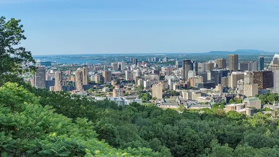
Montreal, Canada
Sun 19 Sep 202742.2 kmClimb 141 m
Climb summed after smoothing the heights over 1 km. The edge is this course's height profile on one scale for every race: 250 m above its lowest point fills it. Photo: Mount Royal, by Wilfredor, CC0, via Wikimedia Commons.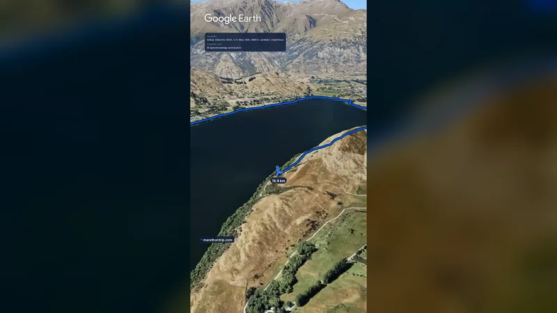 Imagery: Google Earth0:58 film
Queenstown, New Zealand
Sat 14 Nov42.2 kmClimb 139 m
Climb summed after smoothing the heights over 1 km. The edge is this course's height profile on one scale for every race: 250 m above its lowest point fills it.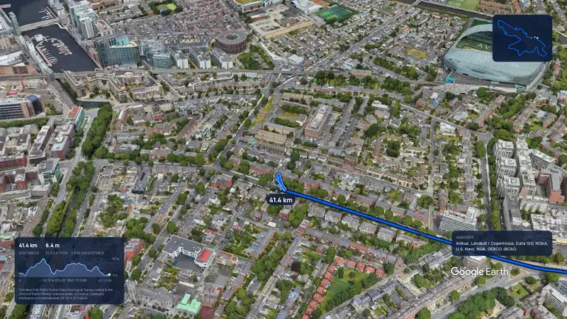 Imagery: Google Earth3:56 filmEntry closes 17 Nov
Dublin, Ireland
Sun 24 Oct 202742.2 kmClimb 142 m
Climb summed after smoothing the heights over 1 km. The edge is this course's height profile on one scale for every race: 250 m above its lowest point fills it.No, it is a hilly course: 140.3 m of climbing over 42.2 km. The highest point is 74 m above the lowest.
In 2026 runners had 6 hours to finish.