
Entry through the organiser
Entry details on the organiser’s site →
The organiser, a third party. We take no entries and have no part in the race.
 Marathon Trip
Your trips on every device: sign in, or make a free account when you save one.
Signed in on this browser.
Sign in My marathons Account and dataLocked out? An export link you keep still opens your list in any browser.
No account: email it to me
One email with this trip and a link to open it again. We do not keep the address and send nothing else.
Only a race from our list can be emailed. An account keeps this one.
What we keep, and what we do notCheck your inbox at to confirm it.
Browse the racesEach edition the day it comes out, and nothing else. Off again with one click. How it is kept.
Downhill to km 7, a long climb of 217 m from km 12 to km 29, then downhill home.
© OpenStreetMap contributors
km 41.1mile 25.6
The organiser finishes the 42 km, 21 km and 10 km races in Uhuru Gardens, off Lang'ata Road beside the start on the Southern Bypass.
Height drawn many times taller than life. Heights: GEDTM30.
Dashed: bridge

Your 5 gels, at the orange marksFor a 4:00 finish, one every 40 minutes
Get them on AmazonAmazon partner link
The first leg heads east, with Nairobi National Park on the right, past the Mombasa Road interchange to the turn by the ICD, which the organiser puts 7.9 km from the start. The same road brings runners back past the start at about km 15.7.
The second leg goes west, past the Lang’ata Road and Ngong Road interchanges, to the turning point short of the Dagoretti Road interchange at km 28.7. The last 13.5 km come back the same way, leave the bypass at the Lang’ata Road interchange and finish inside Uhuru Gardens.
Measured
The first 8 km fall 47 m to the low point of the race at the eastern turn. From there the road climbs for 21 km: gently back past the start, then harder west of it, with 87 m gained between km 16 and km 20 alone, up to 1,873 m at the western turn.
After km 29 there are only 3 m of climbing left. The way home drops from 1,873 m to 1,692 m at the finish, so the last third of the race is nearly all downhill.
Measured
The 2026 race runs along the Southern Bypass, with Nairobi National Park beside the road: the only national park inside a capital city. The marathon, the half marathon, the 10 km and the wheelchair race all finish at Uhuru Gardens.
Sourced
On Sunday 25 October 2026 the full marathon goes off at 5:45 am, with runners asked to arrive at 4:45 am and assemble at 5:35 am. The half marathon follows at 7:05 am, the 10 km at 8:45 am and the 5 km family fun run at 10:00 am; only the half-marathon wheelchair race, at 5:30 am, starts earlier. Roads along the route close from 11:00 pm on Saturday 24 October, and every race starts promptly at its scheduled time.
The 2026 race has twenty water stations along the route and in the marathon village, with water, fruit and oral rehydration salts at designated points.
Sourced
A run from Southern Bypass Road on the edge of Nairobi National Park to Uhuru Gardens, through the capital of a country synonymous with distance running.
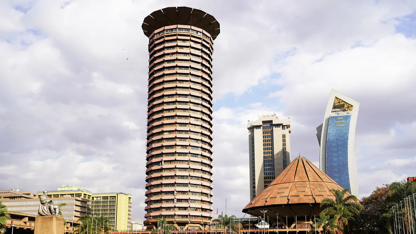
The Nairobi Marathon is a hilly out-and-back course of 42.2 km with 238 m of climbing. Its lowest point is 1,641 m and its highest 1,873 m above sea level.
Entry through the organiser
The organiser, a third party. We take no entries and have no part in the race.
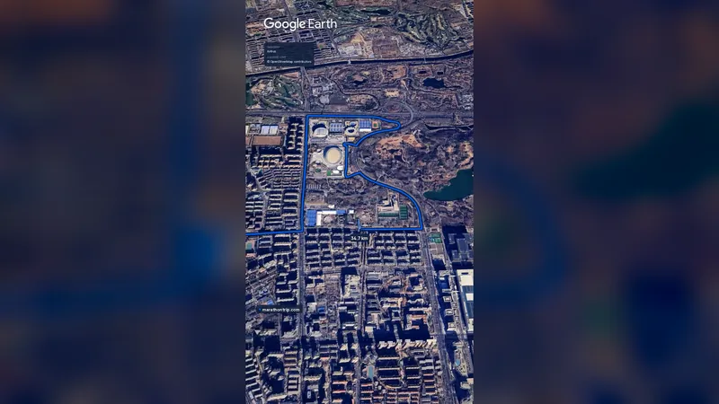 Imagery: Google Earth0:59 film
Beijing, China
Oct 202742.2 kmClimb 41 m
Climb summed after smoothing the heights over 1 km. The edge is this course's height profile on one scale for every race: 250 m above its lowest point fills it.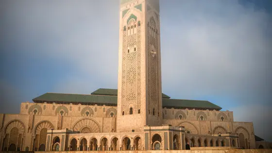
Casablanca, Morocco
Oct 202742.2 kmClimb 119 m
Climb summed after smoothing the heights over 1 km. The edge is this course's height profile on one scale for every race: 250 m above its lowest point fills it. Photo: Hassan II Mosque, by Tinuzzo, CC BY 4.0, via Wikimedia Commons.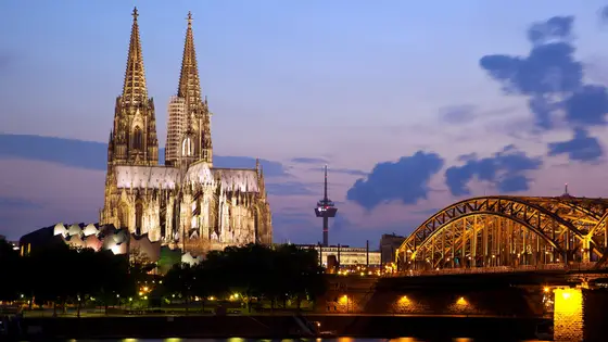
Cologne, Germany
Oct 202742.2 kmClimb 82 m
Climb summed after smoothing the heights over 1 km. The edge is this course's height profile on one scale for every race: 250 m above its lowest point fills it. Photo: Cologne Cathedral, by Jiuguang Wang, CC BY-SA 2.0, via Wikimedia Commons.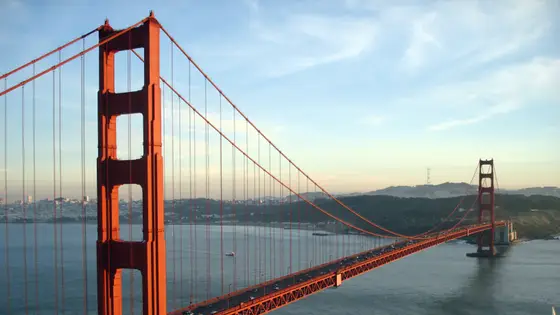
San Francisco, United States
Sun 25 Jul 202742.2 kmClimb 247 m
Climb summed after smoothing the heights over 1 km. The edge is this course's height profile on one scale for every race: 250 m above its lowest point fills it. Photo: Golden Gate Bridge, by Rich Niewiroski Jr., CC BY 2.5, via Wikimedia Commons.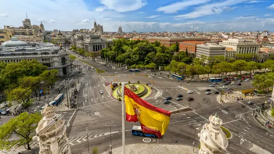
Madrid, Spain
Sun 25 Apr 202742.2 kmClimb 206 m
Climb summed after smoothing the heights over 1 km. The edge is this course's height profile on one scale for every race: 250 m above its lowest point fills it. Photo: Plaza de Cibeles, by Miguel Diaz from Boadilla del Monte, España-Spain, CC BY-SA 2.0, via Wikimedia Commons.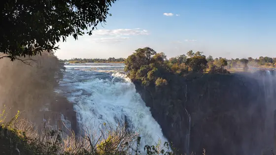
Victoria Falls, Zimbabwe
Sun 4 Jul 202742.2 kmClimb 270 m
Climb summed after smoothing the heights over 1 km. The edge is this course's height profile on one scale for every race: 250 m above its lowest point fills it. Photo: Victoria Falls, by Diego Delso, CC BY-SA 4.0, via Wikimedia Commons.No, it is a hilly course: 238 m of climbing over 42.2 km. The highest point is 232 m above the lowest.
Entry is through the organiser. Entry fee: KES 2,500 (for the 2026 race). Entry details on the organiser’s site