
Entry open for the 2027 race As read 14 October 2026.
Next: entry closes, 2027 race, .
Past years and every way in
Entry details on the organiser’s site →
Yescom, a third party. We take no entries and have no part in the race.
 Marathon Trip
Your trips on every device: sign in, or make a free account when you save one.
Signed in on this browser.
Sign in My marathons Account and dataLocked out? An export link you keep still opens your list in any browser.
No account: email it to me
One email with this trip and a link to open it again. We do not keep the address and send nothing else.
Only a race from our list can be emailed. An account keeps this one.
What we keep, and what we do notCheck your inbox at to confirm it.
Browse the racesEach edition the day it comes out, and nothing else. Off again with one click. How it is kept.
Downhill from km 3 to km 12, flat from km 12 to km 37, then a climb of 27 m home.
© OpenStreetMap contributors
km 0mile 0
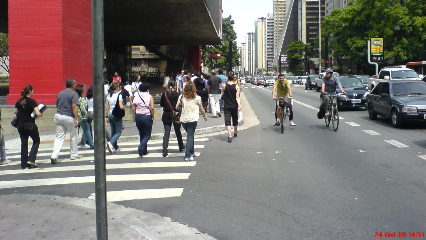
The race starts and finishes at the Obelisk in Ibirapuera Park, in front of the Ibirapuera Auditorium. The first 3 km run out along Avenida Pedro Alvares Cabral and Avenida Professor Ascendino Reis.
Photo: Rodrigo Soldon from Rio de Janeiro, Brazil, CC BY 2.0
km 4.8mile 3
The viaduct on Avenida Rubem Berta that the organiser's map names for its water station at km 5. The line runs under or over it at km 4.8, 6 m away.
km 7.1mile 4.4
Victor Brecheret's monument to the bandeirantes, on Praca General Estilac Leal beside Ibirapuera Park. The line passes it at km 7.1, 39 m away.
Photo: Dornicke (Lucas B. Salles), Public domain
km 11.9mile 7.4
The bridge over the Pinheiros river, crossed at km 11.9.
km 19.3mile 12
A square in Alto de Pinheiros, 20 m from the line at km 19.3, on the way to the university campus.
km 31.5mile 19.5
The Cidade Universitaria campus of the University of Sao Paulo, where the organiser's map marks two campus sections of the course. The pin sits at the Reitoria, 81 m from the line at km 31.5.
km 36.4mile 22.6
The Presidente Janio Quadros tunnel, which the organiser's map names for a water station at its exit and a motorbike medical post. The line runs through it at km 36.4, and the course passes near it again at km 38.0.
km 42.2mile 26.2
The finish is beside the Obelisk, where the start was, on Praca Ibrahim Nobre.
Photo: Rodrigo Soldon from Rio de Janeiro, Brazil, CC BY 2.0
Height drawn many times taller than life. Heights: GEDTM30.
Dashed: bridge upright dashes: cut-offs

Your 5 gels, at the orange marksFor a 4:00 finish, one every 40 minutes
Get them on AmazonAmazon partner link
The race starts at the Obelisco in Ibirapuera at about 755 m above sea level and the first kilometres go up: 27 m in 3.2 km, to 782 m at km 3.2, the highest point of the course. The organiser’s kilometre table puts that stretch on Avenida Rubem Berta. It is the only hill that matters, and it comes while the legs are fresh.
Then the road falls. From km 5.4 to km 10.5 it loses about 38 m, to 725 m, and from there to km 37.5 it barely moves: the whole 27 km between 723 m and 730 m, in a loop that crosses the Ponte Cidade Jardim at km 12 and runs the avenues of the University of São Paulo campus. The whole course is 59 m from lowest to highest point and climbs about 94 m in total.
Measured
The marathon ends where it starts, at the Obelisco in Ibirapuera Park, but not at the same height. The lowest point of the course is 723 m at about km 37.5. The finish is at 750 m, five metres below the start line.
The rise is gradual: 10 m by km 39.5 (733 m) and then 17 m in the last 2.7 km, climbing to 750 m. The organiser’s kilometre table runs the end of the race through two road tunnels, the Túnel Dr. Euricledes de Jesus Zerbini and the Túnel Presidente Jânio Quadros, and back along Avenida Presidente Juscelino Kubitschek and Avenida República do Líbano to the park.
Averaged, that is a gain of about 0.6% over the last 4.7 km. It is not a wall, but it is the first sustained climb since the start, and it comes after 37 km of flat.
Measured
A loop starting and finishing in Ibirapuera Park, passing the University of São Paulo campus and the city's tunnels and avenues.
The São Paulo International Marathon is a loop of 42.2 km with 93.5 m of climbing. Its lowest point is 723 m and its highest 782 m above sea level. Next race: Sunday 4 April 2027, starting at 05:55.
Bib pickup at Parque Ibirapuera, Oca (Pavilhão Lucas Nogueira Garcez)
10:0010:00 AM–19:007:00 PM
10:0010:00 AM–19:007:00 PM
07:007:00 AM
08:008:00 AM–17:305:30 PM
05:555:55 AM
06:156:15 AM
Time not published
05:445:44 AM
05:455:45 AM
06:056:05 AM
until 07:187:18 AM
until 07:457:45 AM
until 07:537:53 AM
until 08:378:37 AM
until 09:389:38 AM
until 11:1011:10 AM
Times as published by Yescom, in São Paulo time, checked .
The forecast for Sunday
Add to calendar .ics file, times in São Paulo time
Entry open for the 2027 race As read 14 October 2026.
Next: entry closes, 2027 race, .
Yescom, a third party. We take no entries and have no part in the race.
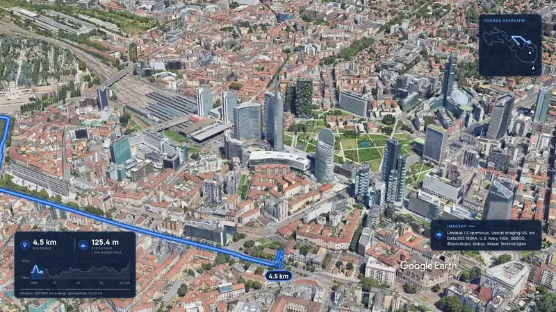 Imagery: Google Earth3:52 film
Milan, Italy
Sun 4 Apr 202742.2 kmClimb 88 m
Climb summed after smoothing the heights over 1 km. The edge is this course's height profile on one scale for every race: 250 m above its lowest point fills it.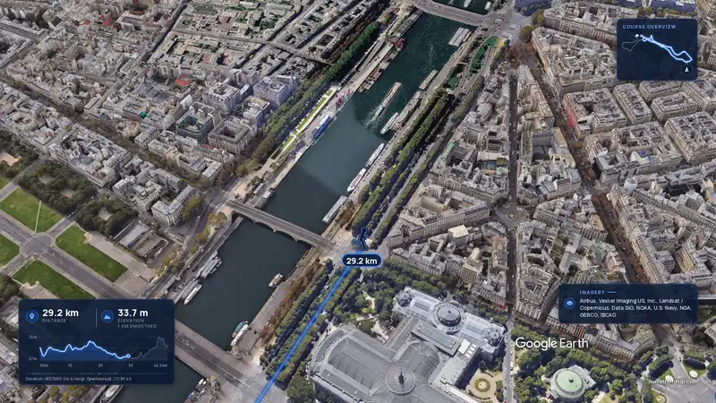 Imagery: Google Earth3:56 film
Paris, France
Sun 4 Apr 202742.2 kmClimb 142 m
Climb summed after smoothing the heights over 1 km. The edge is this course's height profile on one scale for every race: 250 m above its lowest point fills it.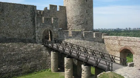
Belgrade, Serbia
Sun 18 Apr 202742.2 kmClimb 92 m
Climb summed after smoothing the heights over 1 km. The edge is this course's height profile on one scale for every race: 250 m above its lowest point fills it. Photo: Belgrade Fortress, by CrniBombarder!!!, CC BY-SA 3.0, via Wikimedia Commons.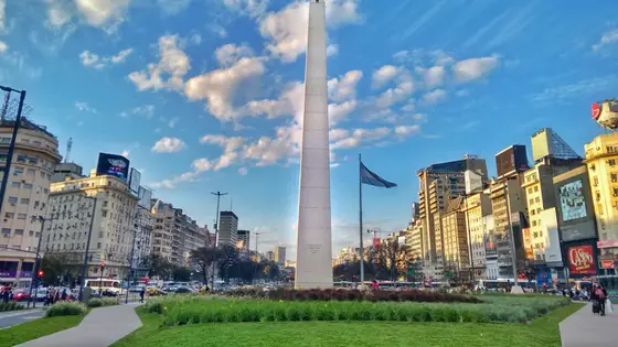
Buenos Aires, Argentina
Sep 202742.2 kmClimb 90 m
Climb summed after smoothing the heights over 1 km. The edge is this course's height profile on one scale for every race: 250 m above its lowest point fills it. Photo: Obelisco de Buenos Aires, by Sebastianalmaraz, CC BY-SA 4.0, via Wikimedia Commons.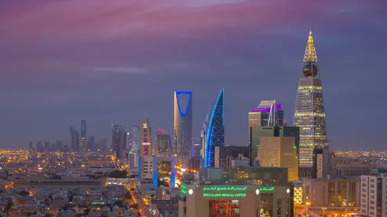
Riyadh, Saudi Arabia
Jan 202742.2 kmClimb 97 m
Climb summed after smoothing the heights over 1 km. The edge is this course's height profile on one scale for every race: 250 m above its lowest point fills it. Photo: Kingdom Centre, by B.alotaby, CC BY-SA 4.0, via Wikimedia Commons.Not entirely. It has 93.5 m of climbing over 42.2 km. The highest point is 59 m above the lowest.
Sunday 4 April 2027. The first wave starts at 05:55 and the last at 06:15.
Entry for the 2027 race is open. It opened on 3 June 2026 and closes on 10 March 2027. Entry details on the organiser’s site
Runners have 6 hours to finish.