
Entry through the organiser
Entry details on the organiser’s site →
Prokart Producciones, a third party. We take no entries and have no part in the race.
 Marathon Trip
Your trips on every device: sign in, or make a free account when you save one.
Signed in on this browser.
Sign in My marathons Account and dataLocked out? An export link you keep still opens your list in any browser.
No account: email it to me
One email with this trip and a link to open it again. We do not keep the address and send nothing else.
Only a race from our list can be emailed. An account keeps this one.
What we keep, and what we do notCheck your inbox at to confirm it.
Browse the racesEach edition the day it comes out, and nothing else. Off again with one click. How it is kept.
A climb of 74 m from km 5 to km 15, another climb of 94 m from km 19 to km 32, then downhill home.
© OpenStreetMap contributors
km 0mile 0
The marathon starts on the Alameda in front of the palace and finishes at the same place.
km 3.8mile 2.3
The course passes the park on Avenida Beaucheff, near km 3.8.
Photo: Andrés de la Cruz Bauerle, CC BY 2.5
km 10.9mile 6.8
The course follows Avenida Grecia past the stadium and turns onto Avenida Campos de Deportes near km 11.
Photo: Gobierno de Chile, CC BY 2.0
km 24mile 14.9
The marathon runs through Plaza Egaña on Américo Vespucio, around km 24.
km 36.5mile 22.7
The course passes the tower on Avenida Andrés Bello, around km 36.5.
km 40.1mile 24.9
The course comes through Plaza Baquedano around km 40 and turns onto the Alameda for the last two kilometres.
km 41mile 25.5
On the Alameda the course passes the foot of Cerro Santa Lucía near km 41.
Photo: Jorge Láscar from Australia, CC BY 2.0
Height drawn many times taller than life. Heights: GEDTM30.

Your 5 gels, at the orange marksFor a 4:00 finish, one every 40 minutes
Get them on AmazonAmazon partner link
The course starts at about 549 m and gives a little of that away first: the lowest point is 530 m, at km 5. From there it rises almost the whole way, 139 m in 27 km, to the highest point at km 32, 669 m. Over the whole marathon the climbing adds up to about 173 m.
Measured
After km 32 the road turns over and the road runs down for the rest of the race, from 669 m at km 32 to about 550 m at the finish. The start and finish are the same place on the Alameda, so the course ends at the height it began at. The way home goes along Avenida Andrés Bello, then Avenida Providencia and Plaza Baquedano, and on to the Alameda.
Measured
The organiser’s FAQ puts the start at the front of the Palacio de la Moneda, and the 2026 event rules start the marathon on the Alameda’s north carriageway and finish it at the palace, in the Plaza de la Ciudadanía.
Sourced
The 2026 event rules describe the marathon as a list of avenues, in order. From the start the course goes west along the Alameda, then Avenida España, Almirante Blanco Encalada, Beaucheff, Rondizzoni, Viel and Manuel Antonio Matta before it reaches Avenida Grecia and Campos de Deportes. It then runs Antonio Varas, Pocuro and Los Leones, and Artigas, Chile España, José Pedro Alessandri, Rodrigo de Araya and Monckeberg bring it back to Grecia and its roundabout. After Plaza Egaña on Américo Vespucio come Francisco de Aguirre, Luis Carrera, Escrivá de Balaguer, Nueva Costanera, Isabel Montt and Avenida Bicentenario, then Avenida Andrés Bello, Providencia, Plaza Baquedano and the Alameda again. The organiser gives 16 May 2027 as the race day.
Sourced
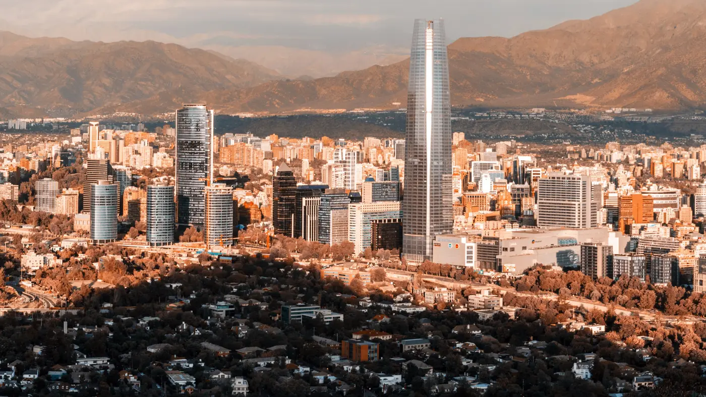
A loop from La Moneda below the Andes that climbs a steady 139 m over 27 km to km 32, then runs 114 m back down to the finish.
The Maratón de Santiago is a hilly loop of 42.2 km with 172.6 m of climbing. Its lowest point is 530 m and its highest 669 m above sea level. Next race: Sunday 16 May 2027.
Time not published
Time not published
Times as published by Prokart Producciones, in Santiago time, checked .
The forecast for Sunday
We hold no start time for this race, so the record is read at 09:009:00 AM, local time.
Add to calendar .ics file, times in Santiago time
Entry through the organiser
Prokart Producciones, a third party. We take no entries and have no part in the race.
 Entry open
Riga, Latvia
Sun 16 May 202742.2 kmClimb 65 m
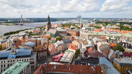
Climb summed after smoothing the heights over 1 km. The edge is this course's height profile on one scale for every race: 250 m above its lowest point fills it. Photo: Riga, by Diego Delso, CC BY-SA 3.0, via Wikimedia Commons.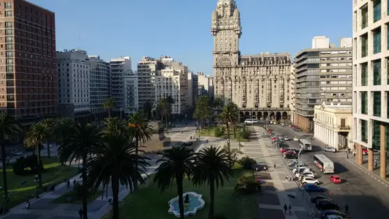
Montevideo, Uruguay
May 202742.2 kmClimb 149 m
Climb summed after smoothing the heights over 1 km. The edge is this course's height profile on one scale for every race: 250 m above its lowest point fills it. Photo: Palacio Salvo, by Mx. Granger, CC0, via Wikimedia Commons.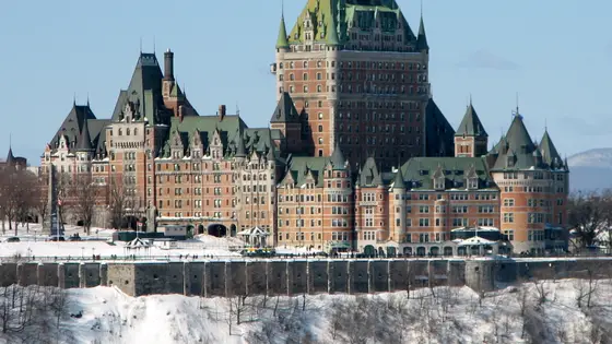
Quebec City, Canada
Oct 202742.2 kmClimb 162 m
Climb summed after smoothing the heights over 1 km. The edge is this course's height profile on one scale for every race: 250 m above its lowest point fills it. Photo: Château Frontenac, by Bernard Gagnon, CC BY-SA 3.0, via Wikimedia Commons.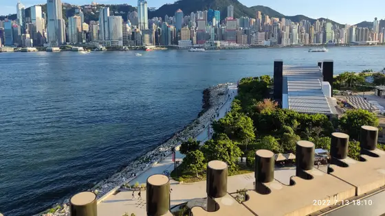
Hong Kong, Hong Kong
Sun 17 Jan 202742.2 kmClimb 161 m
Climb summed after smoothing the heights over 1 km. The edge is this course's height profile on one scale for every race: 250 m above its lowest point fills it. Photo: Victoria Harbour, by Bkemaoe HOMA, CC BY-SA 4.0, via Wikimedia Commons.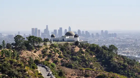
Los Angeles, United States
Sun 7 Mar 202742.2 kmClimb 160 m
Climb summed after smoothing the heights over 1 km. The edge is this course's height profile on one scale for every race: 250 m above its lowest point fills it. Photo: Hollywood Sign, by The Fun Chronicles, CC0, via Wikimedia Commons.No, it is a hilly course: 172.6 m of climbing over 42.2 km. The highest point is 139 m above the lowest.
Sunday 16 May 2027.
Runners have 6 hours to finish.