
Entry through the organiser
Entry details on the organiser’s site →
Dirigo Events Sdn. Bhd., a third party. We take no entries and have no part in the race.
 Marathon Trip
Your trips on every device: sign in, or make a free account when you save one.
Signed in on this browser.
Sign in My marathons Account and dataLocked out? An export link you keep still opens your list in any browser.
No account: email it to me
One email with this trip and a link to open it again. We do not keep the address and send nothing else.
Only a race from our list can be emailed. An account keeps this one.
What we keep, and what we do notCheck your inbox at to confirm it.
Browse the racesEach edition the day it comes out, and nothing else. Off again with one click. How it is kept.
A climb of 34 m to km 4, downhill from km 26 to km 29, then flat home.
© OpenStreetMap contributors
km 0mile 0
The organiser puts the start and finish at Dataran Merdeka, the square this building overlooks.
Photo: Ahmad Rithauddin from Ampang, malaysia, CC BY 2.0
km 10.3mile 6.4
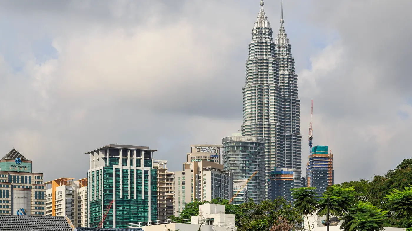
The course passes about 200 m from the towers, around 10 km in.
km 41.6mile 25.8
The last kilometre runs within about 300 m of the National Mosque.
Height drawn many times taller than life. Heights: GEDTM30.
Dashed: bridge

Your 5 gels, at the orange marksFor a 4:00 finish, one every 40 minutes
Get them on AmazonAmazon partner link
On the 2026 course the road starts at about 34 m and finishes at about 37 m. The lowest ground, 33 m, is near km 39.7. Between km 3 and 12 the road sits around 40 to 68 m, and from km 12 to 24 it stays within 41 to 50 m.
The one real rise comes after that: from about 49 m at km 24 to 86 m near km 26, then back down to about 45 m by km 30. The last 12 km are low again, between 33 and 50 m.
Measured
Along the 2026 route, the longest bridged stretch is the elevated Ampang to Kuala Lumpur highway, which the course follows from km 13.5 to km 22.9. Later come shorter stretches on another elevated expressway between km 27.6 and 34.1, then two short ones on Jalan Kuching near km 36 and one just after km 40.6.
In all, eleven stretches add up to about 14 km.
Measured
For 2026 the organiser listed the full marathon flag-off at 3:30 am on Sunday 4 October, with the half marathon following at 4:45 am. Start and finish for every category are at Dataran Merdeka.
The schedule recommends arriving at the start area at least 20 minutes before flag-off and says a runner who is not there when the gun fires may not be allowed to start. The marathon prize presentations began at 8:45 am.
Sourced
A loop through Kuala Lumpur starting and finishing at Dataran Merdeka, the square where Malaysian independence was declared.
The Kuala Lumpur Marathon is a hilly loop of 42.2 km with 147.4 m of climbing. Its lowest point is 34 m and its highest 85 m above sea level.
Entry through the organiser
Dirigo Events Sdn. Bhd., a third party. We take no entries and have no part in the race.
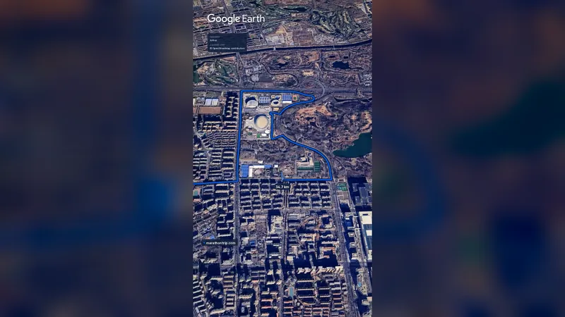 Imagery: Google Earth0:59 film
Beijing, China
Oct 202742.2 kmClimb 41 m
Climb summed after smoothing the heights over 1 km. The edge is this course's height profile on one scale for every race: 250 m above its lowest point fills it.
Casablanca, Morocco
Oct 202742.2 kmClimb 119 m
Climb summed after smoothing the heights over 1 km. The edge is this course's height profile on one scale for every race: 250 m above its lowest point fills it. Photo: Hassan II Mosque, by Tinuzzo, CC BY 4.0, via Wikimedia Commons.
Cologne, Germany
Oct 202742.2 kmClimb 82 m
Climb summed after smoothing the heights over 1 km. The edge is this course's height profile on one scale for every race: 250 m above its lowest point fills it. Photo: Cologne Cathedral, by Jiuguang Wang, CC BY-SA 2.0, via Wikimedia Commons.
Sofia, Bulgaria
Oct 202742.2 kmClimb 146 m
Climb summed after smoothing the heights over 1 km. The edge is this course's height profile on one scale for every race: 250 m above its lowest point fills it. Photo: Alexander Nevsky Cathedral, by Plamen Agov ( user:MrPanyGoff ), CC BY-SA 4.0, via Wikimedia Commons.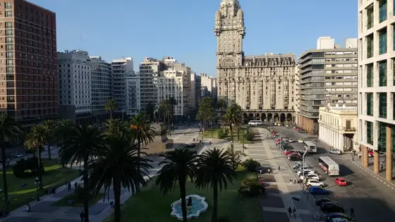
Montevideo, Uruguay
May 202742.2 kmClimb 149 m
Climb summed after smoothing the heights over 1 km. The edge is this course's height profile on one scale for every race: 250 m above its lowest point fills it. Photo: Palacio Salvo, by Mx. Granger, CC0, via Wikimedia Commons.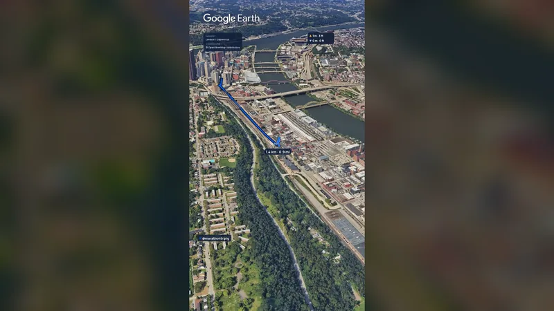 Imagery: Google Earth2:01 film
Pittsburgh, United States
Sun 2 May 202742.2 kmClimb 151 m
Climb summed after smoothing the heights over 1 km. The edge is this course's height profile on one scale for every race: 250 m above its lowest point fills it.No, it is a hilly course: 147.4 m of climbing over 42.2 km. The highest point is 52 m above the lowest.
Entry is through the organiser. Entry fee: MYR 150 (MYR 430 from abroad, for the 2026 race). Entry details on the organiser’s site