
Entry through the organiser
Entry details on the organiser’s site →
The organiser, a third party. We take no entries and have no part in the race.
 Marathon Trip
Your trips on every device: sign in, or make a free account when you save one.
Signed in on this browser.
Sign in My marathons Account and dataLocked out? An export link you keep still opens your list in any browser.
No account: email it to me
One email with this trip and a link to open it again. We do not keep the address and send nothing else.
Only a race from our list can be emailed. An account keeps this one.
What we keep, and what we do notCheck your inbox at to confirm it.
Browse the racesEach edition the day it comes out, and nothing else. Off again with one click. How it is kept.
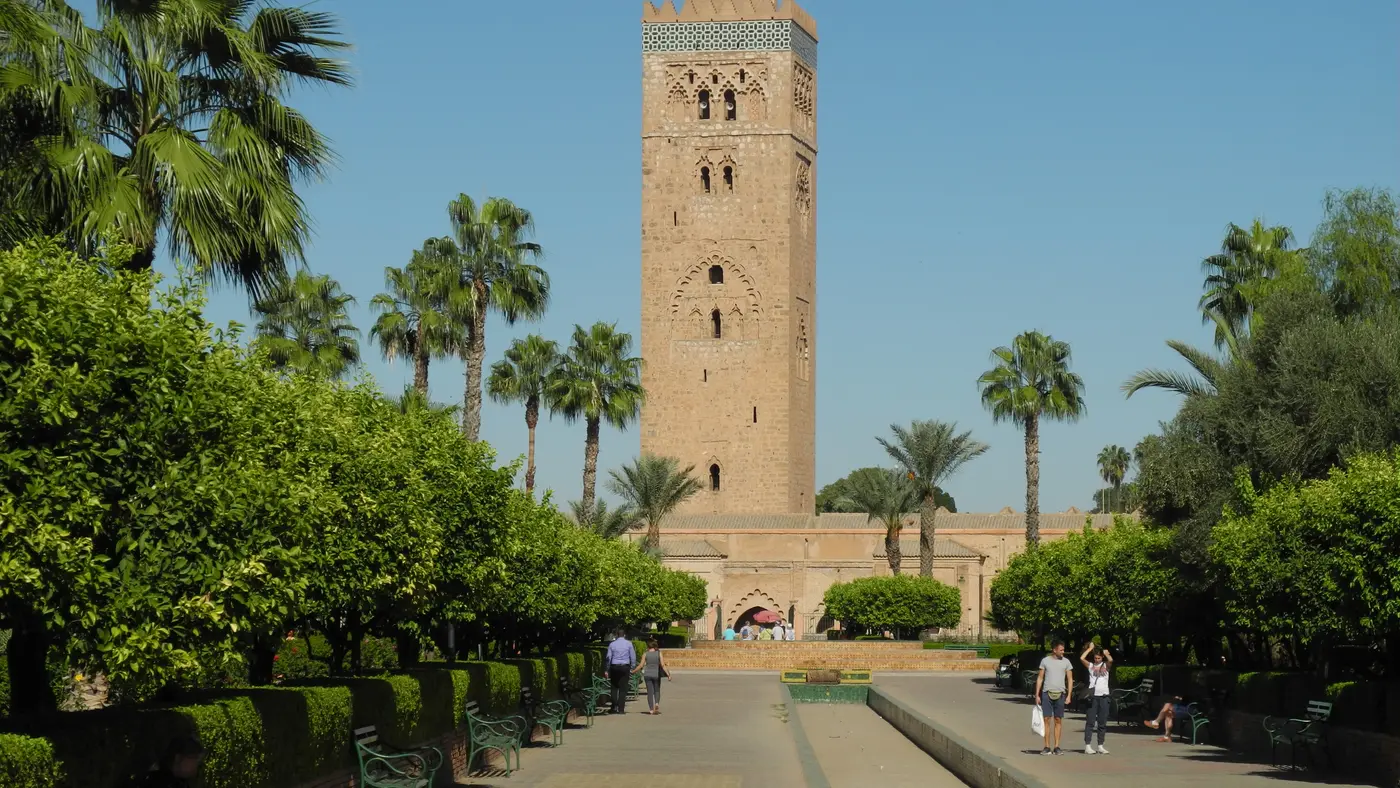
Downhill to km 9, a climb of 87 m to km 23, then downhill home.
© OpenStreetMap contributors
km 0mile 0
km 1.3mile 0.8
km 1.9mile 1.2
Passed again at km 40.3 on the way back to the finish.
Photo: Martin Furtschegger, CC BY 3.0
km 2mile 1.3
Passed again at km 40.2 on the way back to the finish.
Photo: راشراش, CC BY 3.0
km 8.9mile 5.5
The far north-east end of the course.
km 15.5mile 9.6
Photo: Jorge Láscar from Australia, CC BY 2.0
km 22.8mile 14.1
km 37.8mile 23.5
The pavilion and its basin lie 450 m south-west of the line; the course runs the Avenue de la Menara along the gardens' edge.
Photo: Mustang Joe, CC0
km 42.2mile 26.2
The finish is the start line again, on Avenue de la Menara.
Height drawn many times taller than life. Heights: GEDTM30.

Your 5 gels, at the orange marksFor a 4:00 finish, one every 40 minutes
Get them on AmazonAmazon partner link
The start on Avenue de la Menara is at 464.3 m, and the first nine kilometres lose height steadily: 449.8 m at km 3, 428.1 m at km 6, 406.7 m at km 9.1, the lowest point of the course. From there the road goes uphill for the next 14 km, 411.6 m at km 10, 456.3 m at km 15, 482.8 m at km 20, and reaches the course’s high point of 494.2 m at km 23.1.
The organiser calls the course “flat and fast, despite some slight inclines in the palm grove”. The profile agrees on the grove being where the climbing is: the total climb is 116.1 m, and most of it comes in this stretch, which gains about 83 m between km 10 and km 23.
Measured
Once past the top at km 23.1, the second half is mostly downhill: 477.9 m at km 30. The one interruption is a climb to 487.6 m at km 33.4, about 10 m above the km 30 level. After it the road drops to 470.0 m at km 37 and 455.0 m at km 39.5.
The last 2.7 km rise a little, 9 m, to the finish, which is on Avenue de la Menara, behind the Sofitel hotel, next to the start. The finish elevation is 464.3 m, the same as the start, which is what a single lap should give.
Measured
Start and finish are on Avenue de la Menara, behind the Sofitel hotel and close to La Mamounia. The organiser’s description of the route mentions the 12th-century ramparts, the Menara gardens and the thousand-year-old palm groves, and the marathon distance is certified by an official international expert for IAAF (now World Athletics) and AIMS.
On the course the organiser lists refreshment points every 5 km with water and orange slices, sponging points every 5 km from km 7, and split times at 10 km and 30 km. A medal goes to every ranked runner.
Sourced
A single lap around Marrakech's red ramparts and through the Menara gardens, with the Atlas Mountains visible on a clear day.
The Marrakech Marathon is a loop of 42.2 km with 116.1 m of climbing. Its lowest point is 407 m and its highest 494 m above sea level. Next race: Sunday 31 January 2027, starting at 07:45.
Expo and bib pickup at Marathon Village, Koutoubia Square (Jemaa El Fna)
16:004:00 PM
16:004:00 PM–20:008:00 PM
10:0010:00 AM–20:008:00 PM
09:309:30 AM
10:0010:00 AM–20:008:00 PM
18:006:00 PM
07:307:30 AM
07:457:45 AM
11:3011:30 AM
13:001:00 PM
Time not published
Times as published by the organiser, in Marrakech time, checked .
The forecast for Sunday
Add to calendar .ics file, times in Marrakech time
Entry through the organiser
The organiser, a third party. We take no entries and have no part in the race.
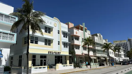
Miami, United States
Sun 31 Jan 202742.2 kmClimb 28 m
Climb summed after smoothing the heights over 1 km. The edge is this course's height profile on one scale for every race: 250 m above its lowest point fills it. Photo: South Beach, by Phillip Pessar, CC BY 4.0, via Wikimedia Commons.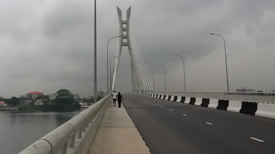
Lagos, Nigeria
Feb 202742.2 kmClimb 20 m
Climb summed after smoothing the heights over 1 km. The edge is this course's height profile on one scale for every race: 250 m above its lowest point fills it. Photo: Lekki-Ikoyi Link Bridge, by Chippla, CC BY-SA 3.0, via Wikimedia Commons.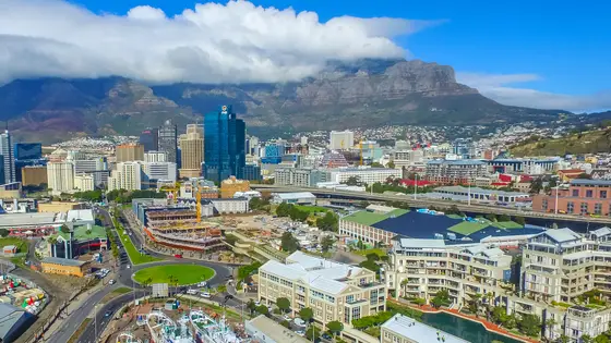
Cape Town, South Africa
Sun 23 May 202742.2 kmClimb 116 m
Climb summed after smoothing the heights over 1 km. The edge is this course's height profile on one scale for every race: 250 m above its lowest point fills it. Photo: Cape Town, by SkyPixels, CC BY-SA 4.0, via Wikimedia Commons.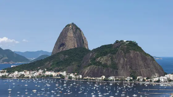
Rio de Janeiro, Brazil
Sun 30 May 202742.2 kmClimb 110 m
Climb summed after smoothing the heights over 1 km. The edge is this course's height profile on one scale for every race: 250 m above its lowest point fills it. Photo: Sugarloaf Mountain, by Arne Müseler, CC BY-SA 3.0 de, via Wikimedia Commons.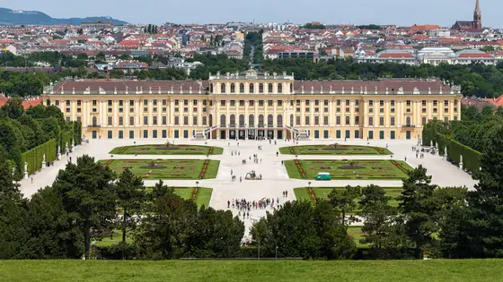
Vienna, Austria
Sun 18 Apr 202742.2 kmClimb 110 m
Climb summed after smoothing the heights over 1 km. The edge is this course's height profile on one scale for every race: 250 m above its lowest point fills it. Photo: Schönbrunn Palace, by Thomas Wolf, www.foto-tw.de, CC BY-SA 3.0 de, via Wikimedia Commons.Not entirely. It has 116.1 m of climbing over 42.2 km. The highest point is 88 m above the lowest.
Sunday 31 January 2027. The start is at 07:45.
Runners have 5 h 30 min to finish.
Start: Avenue de la Menara, behind the Sofitel and close to La Mamounia.