
Entry through the organiser
Entry details on the organiser’s site →
The organiser, a third party. We take no entries and have no part in the race.
 Marathon Trip
Your trips on every device: sign in, or make a free account when you save one.
Signed in on this browser.
Sign in My marathons Account and dataLocked out? An export link you keep still opens your list in any browser.
No account: email it to me
One email with this trip and a link to open it again. We do not keep the address and send nothing else.
Only a race from our list can be emailed. An account keeps this one.
What we keep, and what we do notCheck your inbox at to confirm it.
Browse the racesEach edition the day it comes out, and nothing else. Off again with one click. How it is kept.
Flat to km 14, a slow rise of 12 m to km 19, then another slow rise of 15 m home from km 31.
© OpenStreetMap contributors
km 0.3mile 0.2
Manchester United's stadium in Stretford, 300 m south-west of the line near the start at km 0.3.
Photo: Ank Kumar, CC0
km 3.2mile 2
The brick railway arches over Deansgate Locks at Castlefield, near the Deansgate turn at km 3.2 and 4.2.
Photo: Tim Green from Bradford, CC BY 2.0
km 3.6mile 2.2
Glass tower on Deansgate seen from the Deansgate turn at km 3.6.
Photo: Tony Grist, Public domain
km 6.8mile 4.2
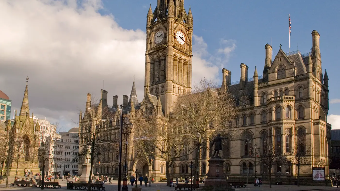
The brick town hall with its clock tower on Talbot Road, passed at km 6.8.
Photo: Mikey, CC BY 2.0
km 6.9mile 4.3
The Lancashire county cricket ground beside Talbot Road at km 6.9.
km 8.7mile 5.4
On Chester Road at Stretford, passed at km 8.7 and again near km 32.2, the organiser's cheer-point site.
km 19.7mile 12.3
Half-timbered building on Altrincham's Old Market Place, near the turn at km 19.7.
Photo: User:Andreeg2001, Public domain
km 39.5mile 24.6
The steel arch over Stretford Road in Hulme, crossed at km 39.5.
Photo: Mikey from Wythenshawe, Manchester, UK, CC BY 2.0
km 42.2mile 26.2
The finish is on Oxford Road outside Whitworth Hall, 20 m from the line at km 42.2.
Photo: MichaelDavidBeckwith, CC0
Height drawn many times taller than life. Heights: LIDAR Composite Digital Terrain Model (DTM).
Dashed: bridge

Your 5 gels, at the orange marksFor a 4:00 finish, one every 40 minutes
Get them on AmazonAmazon partner link
The organiser sells the race as the UK’s flattest major marathon, and the road backs it. The lowest point is about 22.8 m, near km 31 and again near km 10; the highest is 38.2 m, at the finish. Nothing in between is more than 15.5 m above the lowest road.
The steepest stretch is the rise of about 5 m over the kilometre from km 18.4 to km 19.5, a gradient of roughly 0.5%. In total the course climbs about 48 m.
Measured
The first 6 km sit level at about 31 m. The road then falls to about 23 m by km 10, climbs back to roughly 34 m around km 22 and falls again to its lowest point, about 22.8 m, near km 31.
From there it is one long, easy lift to the end: about 15 m over the last 11 km, to the finish at 38 m. The finish is about 7 m higher than the start, so the last third asks for slightly more than the first.
Measured
On the 2026 route the race starts outside Old Trafford, runs through Sale and comes back into the city centre to finish on Oxford Road.
Sourced
The organiser puts the crowd at over 150,000 supporters. In 2026 it asked spectators not to go to the start, and sent them instead on foot to Deansgate, just over a mile in, for a supporter send-off there.
Sourced
A point-to-point route from Old Trafford through Sale and Altrincham into Manchester city centre, on one of the flattest courses in the country.
The Manchester Marathon is a flat point-to-point course of 42.2 km with 47.9 m of climbing. Its lowest point is 23 m and its highest 38 m above sea level. Next race: Sunday 18 April 2027.
Time not published
Time not published
Times as published by the organiser, in Manchester time, checked .
The forecast for Sunday
We hold no start time for this race, so the record is read at 09:009:00 AM, local time.
Add to calendar .ics file, times in Manchester time
Entry through the organiser
The organiser, a third party. We take no entries and have no part in the race.
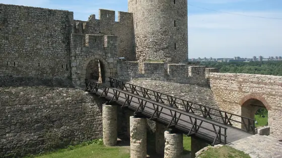
Belgrade, Serbia
Sun 18 Apr 202742.2 kmClimb 92 m
Climb summed after smoothing the heights over 1 km. The edge is this course's height profile on one scale for every race: 250 m above its lowest point fills it. Photo: Belgrade Fortress, by CrniBombarder!!!, CC BY-SA 3.0, via Wikimedia Commons.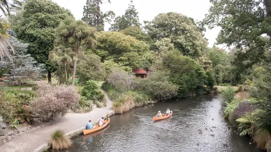
Christchurch, New Zealand
Sun 18 Apr 202742.2 kmClimb 49 m
Climb summed after smoothing the heights over 1 km. The edge is this course's height profile on one scale for every race: 250 m above its lowest point fills it. Photo: Christchurch Botanic Gardens, by Szilas, Public domain, via Wikimedia Commons.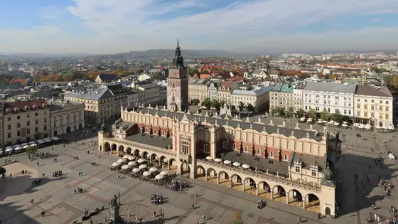
Krakow, Poland
Sun 18 Apr 202742.2 kmClimb 55 m
Climb summed after smoothing the heights over 1 km. The edge is this course's height profile on one scale for every race: 250 m above its lowest point fills it. Photo: Main Square, by Ingo Mehling, CC BY-SA 4.0, via Wikimedia Commons.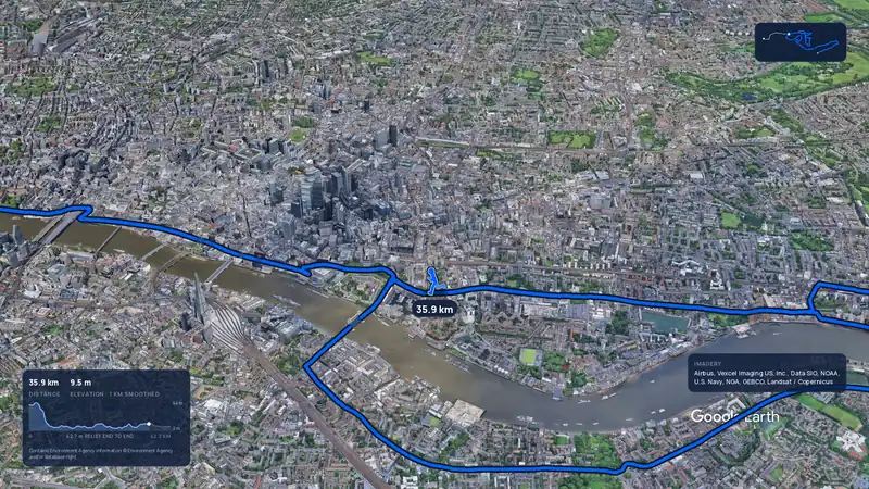 Imagery: Google Earth4:02 film
London, United Kingdom
Sun 25 Apr 202742.2 kmClimb 42 m
Climb summed after smoothing the heights over 1 km. The edge is this course's height profile on one scale for every race: 250 m above its lowest point fills it.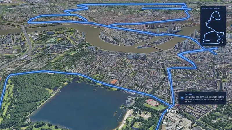 Imagery: Google Earth3:55 film
Rotterdam, Netherlands
Sun 11 Apr 202742.2 kmClimb 28 m
Climb summed after smoothing the heights over 1 km. The edge is this course's height profile on one scale for every race: 250 m above its lowest point fills it.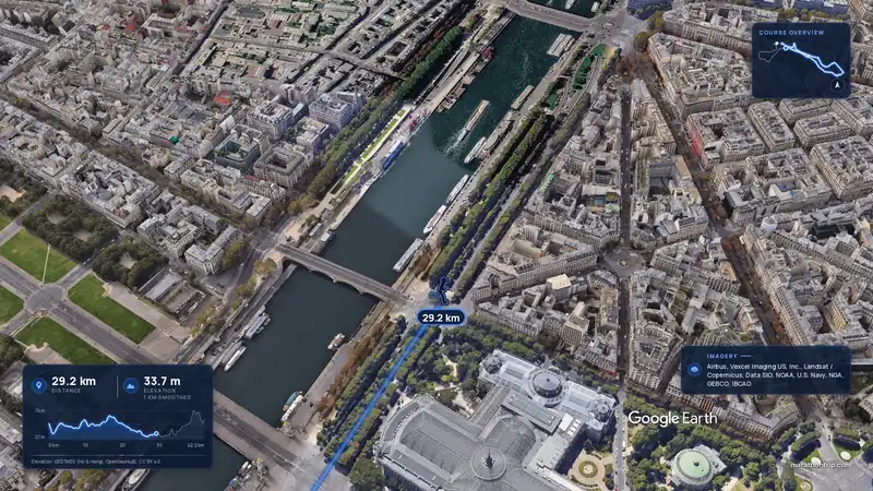 Imagery: Google Earth3:56 film
Paris, France
Sun 4 Apr 202742.2 kmClimb 142 m
Climb summed after smoothing the heights over 1 km. The edge is this course's height profile on one scale for every race: 250 m above its lowest point fills it.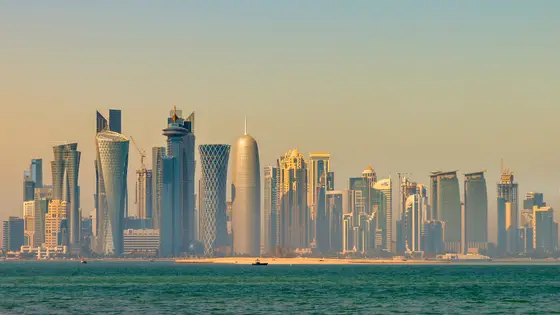
Doha, Qatar
Fri 15 Jan 202742.2 kmClimb 50 m
Climb summed after smoothing the heights over 1 km. The edge is this course's height profile on one scale for every race: 250 m above its lowest point fills it. Photo: Doha, by Francisco Anzola, CC BY 2.0, via Wikimedia Commons.
Taipei, Taiwan
Sun 20 Dec42.2 kmClimb 45 m
Climb summed after smoothing the heights over 1 km. The edge is this course's height profile on one scale for every race: 250 m above its lowest point fills it. Photo: Taipei 101, by Another Believer, CC BY-SA 4.0, via Wikimedia Commons.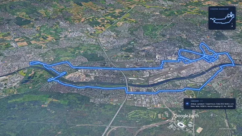 Imagery: Google Earth4:00 filmEntry open
Frankfurt, Germany
Sun 31 Oct 202742.2 kmClimb 44 m
Climb summed after smoothing the heights over 1 km. The edge is this course's height profile on one scale for every race: 250 m above its lowest point fills it.Yes. It has 47.9 m of climbing over 42.2 km. The highest point is 15 m above the lowest.
Sunday 18 April 2027.
Runners have 6 hours to finish.
21,887 runners finished in 2024.