
Ballot closed for the 2026 race As read 25 September 2026.
Past years and every way in
Entry details on the organiser’s site →
Taipei City Government, a third party. We take no entries and have no part in the race.
 Marathon Trip
Your trips on every device: sign in, or make a free account when you save one.
Signed in on this browser.
Sign in My marathons Account and dataLocked out? An export link you keep still opens your list in any browser.
No account: email it to me
One email with this trip and a link to open it again. We do not keep the address and send nothing else.
Only a race from our list can be emailed. An account keeps this one.
What we keep, and what we do notCheck your inbox at to confirm it.
Browse the racesEach edition the day it comes out, and nothing else. Off again with one click. How it is kept.
Flat from start to finish: 10 m between the lowest and the highest point.
© OpenStreetMap contributors
km 0mile 0
The start, on Ren'ai Road in front of Taipei City Hall and its plaza.
Photo: Jiang, Public domain
km 0mile 0
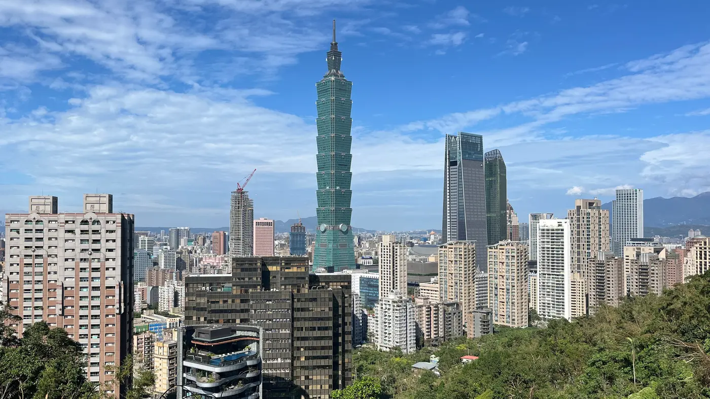
The tower stands 420 m south of the start line and is the skyline of the opening kilometres.
Photo: Balon Greyjoy, CC0
km 0.3mile 0.2
The memorial hall just north of the start on Ren'ai Road, with Taipei 101 behind it.
Photo: tomscoffin, CC BY 2.0
km 4.6mile 2.9
The east gate of the old city wall, the roundabout at the Ketagalan Boulevard and Zhongshan South Road turn.
Photo: No machine-readable author provided. Jiang assumed (based on copyright claims)., Public domain
km 6.1mile 3.8
The memorial hall and its plaza, beside the Zhongshan South Road and Aiguo Road section.
Photo: Balon Greyjoy, CC0
km 8mile 5
The red-brick Ximen theatre by the Zhonghua Road turn.
Photo: Rutger van der Maar, CC BY 2.0
km 8.9mile 5.5
The restored north gate of old Taipei, at the Zhongxiao West Road turn by the main station.
km 9.9mile 6.2
The Japanese-era building on Ketagalan Boulevard, passed around the 10 km point.
Photo: Rutger van der Maar, CC BY 2.0
km 15mile 9.3
The red-and-gold hotel on its hill across the Keelung River from Beian Road.
Photo: Photographer: Mosbatho, CC BY 4.0
km 15.5mile 9.6
The shrine and its guard post on the north side of Beian Road.
Photo: No machine-readable author provided. Jiang assumed (based on copyright claims)., Public domain
km 16.7mile 10.4
The cable-stayed bridge over the Keelung River by the Lequn 1st Road stretch.
Photo: 玄史生, CC0
km 27.7mile 17.2
The exhibition hall beside the Jingmao turnaround, the eastern end of the course.
Photo: 玄史生, Public domain
km 33.9mile 21.1
The arched footbridge over the Keelung River, passed on the riverside path on the way back.
km 42.2mile 26.2
The arena beside the finish on Nanjing East Road.
Photo: Pedro Angelini, CC BY 2.0
km 42.2mile 26.2
The finish, inside the stadium on Nanjing East Road Section 4.
Photo: lienyuan lee, CC BY 3.0
Height drawn many times taller than life. Heights: GEDTM30.
Dashed: bridge upright dashes: cut-offs

Your 5 gels, at the orange marksFor a 4:00 finish, one every 40 minutes
Get them on AmazonAmazon partner link
Taipei sits on a basin floor and the course never leaves it. The road starts at Taipei City Hall Square at 12.3 m, settles near 8 m within the first 5 km, and stays between about 6 m and 10 m for most of the way out to the Keelung River and back.
The highest point is 13.7 m at km 28.6, and the lowest is 3.5 m at km 36.2, a spread of 10.2 m. The 44.9 m of total climbing is made of many small rises of a few metres each, not of any hill. The elevation here is the ground height beneath the route; where the course takes a bridge or the elevated Huandong road, the deck is higher than the ground under it.
Measured
The regulations list six gates for the marathon: 10 km at 07:48, 14.1 km at 08:19, 20.4 km at 09:09, the turnaround at 26.8 km at 09:59, 38.6 km at 11:31 and 40 km at 11:42. Counted from the 06:30 gun, that is 78 minutes for the first 10 km and 209 minutes for the first 26.8 km, both 7:48 per km. The 40 km gate at 11:42 is 312 minutes in.
A runner who misses a gate is stopped and taken to the finish by the organiser’s vehicle. The overall limit is 330 minutes, which is 5:30 on the clock and 12:00 at the finish. Because the course is flat, the gates are a question of pace, not of terrain.
Measured
The start is Taipei City Hall Square, and the route heads north up Zhongshan North Road and over Zhongshan Bridge. After Dingdi Avenue the regulations send the marathon up the Huandong elevated road and down to Jingmao 1st Road, where it turns round on its own line and comes back. The organiser’s cut-off table puts that turnaround at about 26.8 km.
From the turnaround the course leaves the road for the riverside parks, Nanhu, Chengmei, Guanshan and Yingfeng, then rejoins the street at Tayou Road and Nanjing East Road for the finish inside Taipei Track and Field Stadium. The lowest point of the course, 3.5 m, is on the riverbank at km 36.2, and the road rises about 7 m to km 40 on the way into the stadium.
Sourced
A December route through central Taipei from City Hall Square, north to the Keelung River and back along its banks to the Municipal Stadium.
The Taipei Marathon is a flat point-to-point course of 42.2 km with 44.9 m of climbing. Its lowest point is 4 m and its highest 14 m above sea level. Next race: Sunday 20 December 2026, starting at 06:30.
Bib pickup at Marathon expo, Zhengyan Hall (花博爭豔館), 1 Yumen Street, Zhongshan District
13:001:00 PM–20:008:00 PM
13:001:00 PM–20:008:00 PM
11:0011:00 AM–18:006:00 PM
04:304:30 AM–06:006:00 AM
06:006:00 AM
06:306:30 AM
Time not published
07:487:48 AM
08:198:19 AM
09:099:09 AM
09:599:59 AM
11:3111:31 AM
11:4211:42 AM
Times as published by Taipei City Government, in Taipei time, checked .
The forecast for Sunday
Add to calendar .ics file, times in Taipei time
Ballot closed for the 2026 race As read 25 September 2026.
Taipei City Government, a third party. We take no entries and have no part in the race.
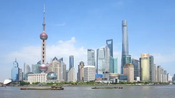
Shanghai, China
Sun 6 Dec42.2 kmClimb 29 m
Climb summed after smoothing the heights over 1 km. The edge is this course's height profile on one scale for every race: 250 m above its lowest point fills it. Photo: Pudong, by https://www.pxfuel.com/en/free-photo-ovozr, CC0, via Wikimedia Commons.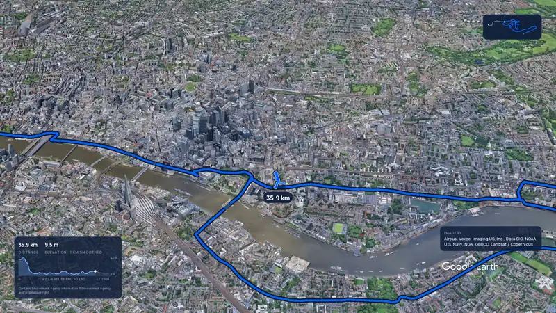 Imagery: Google Earth4:02 film
London, United Kingdom
Sun 25 Apr 202742.2 kmClimb 42 m
Climb summed after smoothing the heights over 1 km. The edge is this course's height profile on one scale for every race: 250 m above its lowest point fills it.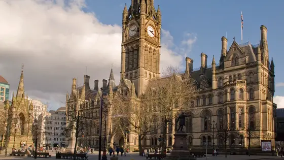
Manchester, United Kingdom
Sun 18 Apr 202742.2 kmClimb 48 m
Climb summed after smoothing the heights over 1 km. The edge is this course's height profile on one scale for every race: 250 m above its lowest point fills it. Photo: Manchester Town Hall, by Mark Andrew., CC BY 2.0, via Wikimedia Commons.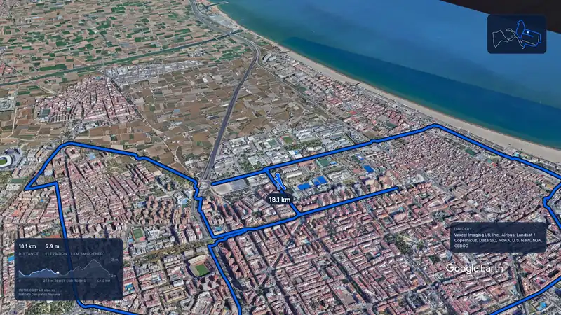 Imagery: Google Earth3:44 filmSold out
Valencia, Spain
Sun 6 Dec42.2 kmClimb 42 m
Climb summed after smoothing the heights over 1 km. The edge is this course's height profile on one scale for every race: 250 m above its lowest point fills it.Yes. It has 44.9 m of climbing over 42.2 km. The highest point is 10 m above the lowest.
Sunday 20 December 2026. The start is at 06:30.
The 2026 ballot has closed. It opened on 3 July 2026, closed on 15 July and the results came out on 17 July. Entry fee: NT$2,200 (for the 2026 race). Entry details on the organiser’s site
Runners have 5 h 30 min to finish.
Start: Taipei City Hall Square (臺北市市民廣場).
12,614 runners finished in 2024.