
Entry through the organiser
Entry details on the organiser’s site →
Hong Kong, China Association of Athletics Affiliates Limited, a third party. We take no entries and have no part in the race.
 Marathon Trip
Your trips on every device: sign in, or make a free account when you save one.
Signed in on this browser.
Sign in My marathons Account and dataLocked out? An export link you keep still opens your list in any browser.
No account: email it to me
One email with this trip and a link to open it again. We do not keep the address and send nothing else.
Only a race from our list can be emailed. An account keeps this one.
What we keep, and what we do notCheck your inbox at to confirm it.
Browse the racesEach edition the day it comes out, and nothing else. Off again with one click. How it is kept.
A climb of 69 m from km 8 to km 21, downhill to km 31, then flat home.
© OpenStreetMap contributors
km 0mile 0
The marathon starts on Nathan Road in Tsim Sha Tsui, Kowloon, and runs north up the road to Mong Kok before turning west on Argyle Street.
km 0.2mile 0.1
Kowloon Park, the green block beside Nathan Road a few hundred metres from the start, drawn on the organiser's course map.
km 10.1mile 6.3
Stonecutters Bridge, the cable-stayed crossing of the Rambler Channel that opened in December 2009, with a main span of 1,018 m. The course crosses it at about km 10 towards Tsing Yi; the organiser's map names it.
km 15mile 9.3
Tsing Ma Bridge, the suspension bridge to Lantau that opened in 1997, with a main span of 1,377 m. The course does not cross it: it turns at the North West Tsing Yi interchange at about km 15 with the bridge in view, and the organiser's map draws it.
km 19.9mile 12.4
Ting Kau Bridge, the three-tower cable-stayed bridge that opened in 1998. The course runs out over it to the turnaround beyond Ting Kau and back, so it crosses the bridge twice, at about km 16 and km 20; the organiser's map names it.
km 34.5mile 21.5
The Western Harbour Crossing, the immersed-tube road tunnel under Victoria Harbour that opened in 1997. The course runs through its Hong Kong-bound tube from Kowloon to Sai Ying Pun, coming out near km 35; the organiser's map names it.
km 37.1mile 23
The International Finance Centre in Central, whose second tower is 415.8 m tall and was completed in 2003; the organiser's map draws it.
km 38.1mile 23.7
The Central Piers on the Central waterfront, drawn on the organiser's map beside the zigzag the course makes through Man Kwong, Man Fai and Man Yiu Streets.
km 39.8mile 24.8
The Hong Kong Convention and Exhibition Centre on the Wan Chai waterfront, whose extension hosted the 1997 handover ceremony; the organiser's map draws it.
km 42.2mile 26.2
The marathon finishes at Victoria Park, Causeway Bay, on Hong Kong Island.
Height drawn many times taller than life. Heights: GEDTM30.
Dashed: bridge

Your 5 gels, at the orange marksFor a 4:00 finish, one every 40 minutes
Get them on AmazonAmazon partner link
The organiser lists the start as Nathan Road, Tsim Sha Tsui, Kowloon, and the finish as Victoria Park, Hong Kong. Between the two, marathon and half marathon runners “are required to run through the Western Harbour Crossing according to the race route layout”, the road tunnel under the harbour.
The FAQ answers the obvious worry about running inside it. The southbound tube is closed to traffic from 00:45 on race day, fresh air is pumped in, and the air quality is monitored during the race. Traffic is shut along the whole route for the event.
Sourced
From Nathan Road the route turns onto the West Kowloon Highway at about 3.9 km and stays on major highways for most of the next 28 km. Stonecutters Bridge carries it from about 9.3 to 10.8 km, and the Nam Wan Tunnel follows at about 11.7 to 12.9 km.
Ting Kau Bridge is crossed at about 15.7 to 16.8 km on the way out and again from 19.2 to 20.2 km on the way back. The turn is at about 17.9 km on Tsing Long Highway. After the second crossing the route returns by the Cheung Tsing and Tsing Kwai highways rather than by the road it went out on, and rejoins the West Kowloon Highway at about 28 km, four kilometres before the harbour tunnel.
Measured
Asked whether the course is very hilly, the organiser answers with a range: “The elevation range of the Marathon course is 120 metres, from 30 metres below sea level to 90 metres above sea level.” The lowest point is inside the Western Harbour Crossing and the highest is the Tsing Ma Bridge section.
That is the spread between the two extremes, not the amount climbed. The low point is inside a tunnel and the high point on a bridge section, so both describe the road itself rather than the ground it crosses.
Sourced
In the organiser’s 2027 schedule the Marathon Challenge, the category that competes for the prize money, starts at 6:00, Marathon Run 1 at 6:25 and Marathon Run 2 at 6:50. Every runner submits an estimated finishing time at registration, and the organiser uses it “when the Organiser allocates the race category and start time to participants”. The time limit for the full course is 6 hours.
The FAQ gives the reason for the hour: “To avoid running under humid and hot weather conditions and reducing the risks of injury, early starts would be favourable to distance running.” It adds that the races start early so the roads can go back to normal traffic as early as possible and the public transport system is disturbed as little as possible.
Sourced
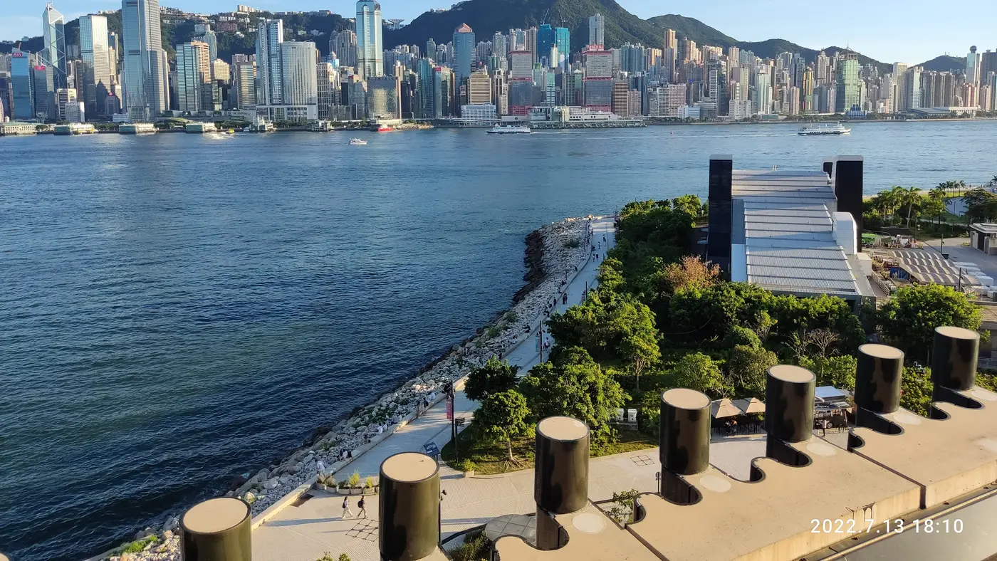
A route that starts on Nathan Road in Kowloon, crosses the harbour by tunnel and bridge, and finishes at Victoria Park on Hong Kong Island.
The Hong Kong Marathon is a hilly point-to-point course of 42.2 km with 160.6 m of climbing. Its lowest point is 3 m and its highest 95 m above sea level. Next race: Sunday 17 January 2027, starting at 06:00.
31 Aug 2026
4 Sept 2026 · 16:004:00 PM
7 Sept 2026 · 19:007:00 PM
11 Sept 2026 · 10:0010:00 AM
11 Sept 2026 · 14:002:00 PM
14 Sept 2026 · 23:5911:59 PM
20 Sept 2026 · 19:007:00 PM
25 Sept 2026 · 14:002:00 PM
2 Oct 2026 · 23:5911:59 PM
7 Oct 2026 · 14:002:00 PM
10 Oct 2026 · 23:5911:59 PM
30 Oct 2026 · 19:007:00 PM
6 Nov 2026 · 23:5911:59 PM
Time not published
Time not published
Time not published
until 23:0011:00 PM
Time not published
Time not published
00:4512:45 AM
06:006:00 AM
06:506:50 AM
22:0010:00 PM
Time not published
Time not published
06:256:25 AM
Time not published
Times as published by Hong Kong, China Association of Athletics Affiliates Limited, in Hong Kong time, checked .
The forecast for Sunday
Add to calendar .ics file, times in Hong Kong time
Entry through the organiser
Hong Kong, China Association of Athletics Affiliates Limited, a third party. We take no entries and have no part in the race.
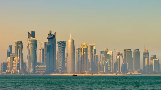
Doha, Qatar
Fri 15 Jan 202742.2 kmClimb 50 m
Climb summed after smoothing the heights over 1 km. The edge is this course's height profile on one scale for every race: 250 m above its lowest point fills it. Photo: Doha, by Francisco Anzola, CC BY 2.0, via Wikimedia Commons.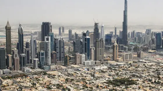
Dubai, United Arab Emirates
Sun 17 Jan 202742.2 kmClimb 13 m
Climb summed after smoothing the heights over 1 km. The edge is this course's height profile on one scale for every race: 250 m above its lowest point fills it. Photo: Burj Khalifa, by Tim.Reckmann, CC BY-SA 3.0, via Wikimedia Commons.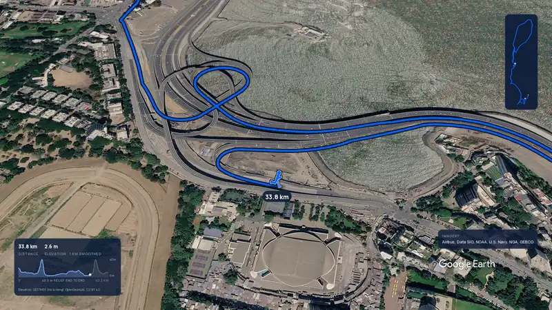 Imagery: Google Earth3:58 filmEntry closes 5 Nov
Mumbai, India
Sun 17 Jan 202742.2 kmClimb 104 m
Climb summed after smoothing the heights over 1 km. The edge is this course's height profile on one scale for every race: 250 m above its lowest point fills it.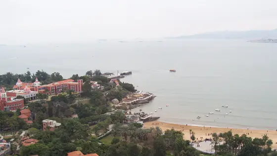
Xiamen, China
Sun 10 Jan 202742.2 kmClimb 75 m
Climb summed after smoothing the heights over 1 km. The edge is this course's height profile on one scale for every race: 250 m above its lowest point fills it. Photo: Xiamen, by 螺钉, CC BY-SA 3.0, via Wikimedia Commons.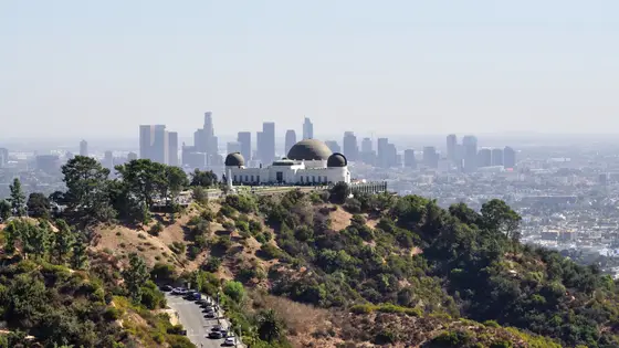
Los Angeles, United States
Sun 7 Mar 202742.2 kmClimb 160 m
Climb summed after smoothing the heights over 1 km. The edge is this course's height profile on one scale for every race: 250 m above its lowest point fills it. Photo: Hollywood Sign, by The Fun Chronicles, CC0, via Wikimedia Commons.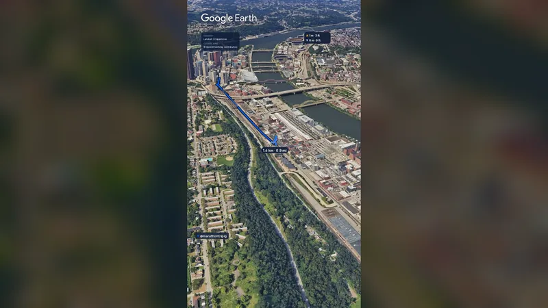 Imagery: Google Earth2:01 film
Pittsburgh, United States
Sun 2 May 202742.2 kmClimb 151 m
Climb summed after smoothing the heights over 1 km. The edge is this course's height profile on one scale for every race: 250 m above its lowest point fills it.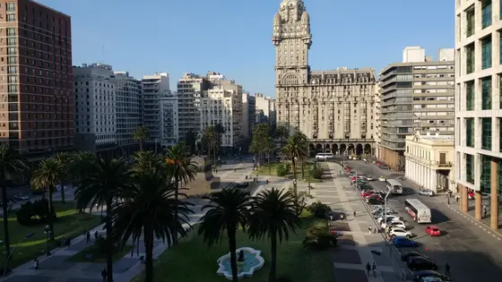
Montevideo, Uruguay
May 202742.2 kmClimb 149 m
Climb summed after smoothing the heights over 1 km. The edge is this course's height profile on one scale for every race: 250 m above its lowest point fills it. Photo: Palacio Salvo, by Mx. Granger, CC0, via Wikimedia Commons.No, it is a hilly course: 160.6 m of climbing over 42.2 km. The highest point is 92 m above the lowest. It finishes 13 m lower than it starts.
Sunday 17 January 2027. The first wave starts at 06:00 and the last at 06:50.
Entry is through the organiser. Entry fee: HK$600 (US$90 from abroad, for the 2027 race). Entry details on the organiser’s site
Runners have 6 hours to finish.
Start: Nathan Road, Tsim Sha Tsui, Kowloon.