

Skip to content
0 102030405060 80.5 km

Height drawn at 1/5 of the usual scale

Course: © OpenStreetMap contributors

JFK 50 Mile

Sat 21 Nov Washington County, United States

  • 80.5 km (50 mi)
  • 540 m (1,772 ft) climb

The course

A long climb of 345 m1132 ft to km 9mile 6, a steep drop to km 25mile 16, then flat from km 25mile 16 to km 67mile 42. The hardest part is the start to km 9 (mile 5).

Start Finish

Course: © OpenStreetMap contributors

Highest 519 m1703 ft Height drawn many times taller than life. Heights: USGS 3DEP 1 m digital elevation model.

Course elevation profile, 8× vertical exaggeration Elevation along the course from km 0 to km 81. The trace runs between 77 and 519 metres, a range of 442 metres, drawn at 8 times vertical exaggeration so the shape is legible. Smoothed over 1 km before this profile was derived. An unsmoothed urban surface carries the buildings and would assert a climb that is not there.
0 20 40 60 80 km
0 20 40 50.2 mi

  1. 43.627.1 Antietam Aqueduct
  2. 67.541.9 Dam No. 4

Your 11 gels, at the orange marks For a 7:55 finish, one every 40 minutes

  1. km 6.8mile 4.2
  2. km 13.6mile 8.4
  3. km 20.3mile 12.6
  4. km 27.1mile 16.8
  5. km 33.9mile 21.1
  6. km 40.7mile 25.3
  7. km 47.4mile 29.5
  8. km 54.2mile 33.7
  9. km 61mile 37.9
  10. km 67.8mile 42.1
  11. km 74.5mile 46.3

Get them on Amazon Amazon partner link

Course notes 4 places, km by km
  1. Organiser's A-Z page: Townsend built the arch in 1896 for the Civil War's correspondents and artists.

  2. The lower town across the Potomac from the towpath, nearest approach 311 m at mile 18.5. Organiser's A-Z page: founded in 1733 as a ferry crossing; John Brown's raid, 1859.

  3. Organiser's A-Z page: triple-arch stone aqueduct built in 1833.

  4. Organiser's A-Z page: an 18-foot masonry dam, one of seven built on the Potomac to feed the canal.

Race fuel

Energy gel
An energy gel sachet
Illustration · drag to turn

11 gels for Washington County, plus 1 spare

Finish

One every 40 minutes, the orange marks on the profile, by the clock:

Over this distance most runners mix in real food at the aid stations; the gels cover the hours between.

  1. km 6.8mile 4.2
  2. km 13.6mile 8.4
  3. km 20.3mile 12.6
  4. km 27.1mile 16.8
  5. km 33.9mile 21.1
  6. km 40.7mile 25.3
  7. km 47.4mile 29.5
  8. km 54.2mile 33.7
  9. km 61mile 37.9
  10. km 67.8mile 42.1
  11. km 74.5mile 46.3

Our pick: SiS BETA Fuel gel, box of 6, strawberry and lime. 40 g of carbohydrate a gel, about twice a usual gel, from two kinds of sugar your body takes up side by side.

Easy to forget on race morning: pack them with your bib the night before.

Only the gel you trained with. Nothing new on race day.

Get it on Amazon

We earn a small fee if you buy through these links. The price is the same.

In Canada the button opens GU Energy Gel, Salted Caramel, 24-pack, the best seller there.

Outside the Netherlands, Belgium, Germany, Austria and Switzerland, the UK and Ireland, Spain and Portugal, Italy, the rest of the EU and Canada the button opens GU Energy Gel, Chocolate Outrage, 24-pack on Amazon.com, the best seller there.

Anti-chafe
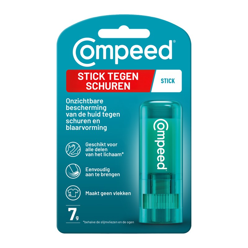
Compeed Anti-blister stick
Photo: Compeed

Compeed

Compeed anti-blister stick, 8 ml

Best selling on Amazon amazon.nl, read 2 Nov

An invisible layer before the start keeps seams, straps and shoes from rubbing skin raw.

Put it on before you leave for the start: heels and toes, inner thighs, under a bra or heart-rate strap.

Try it on a long run first, like everything you use on race day.

Get it on Amazon

We earn a small fee if you buy through these links. The price is the same.

Number belt
A race number belt
Illustration · drag to turn

Compressport Race Belt

Holds your bib without safety pins through your top, with loops for up to 8 gels.

Clip the bib on the night before, so it goes on with your shorts in the morning.

Keep the number on the front, where officials and photographers can see it.

Get it on Amazon

We earn a small fee if you buy through these links. The price is the same.

Electrolytes
A tube of electrolyte tablets
Illustration · drag to turn

SiS Hydro electrolyte tablets, tube of 20

One tablet in a bottle puts back some of the salt you sweat out.

One tablet in 500 ml of water in the hour before the start.

Only if you have used them in training: nothing new on race day.

Get it on Amazon

We earn a small fee if you buy through these links. The price is the same.

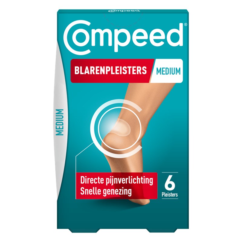
Blister plasters
Compeed Blister plasters, medium, 6
Photo: Compeed

Compeed

Compeed blister plasters, medium, 6

Best selling on Amazon amazon.nl, read 2 Nov

One in a pocket cushions a blister if one starts.

Put it on clean, dry skin and leave it until it comes off by itself.

Give a couple to whoever comes to cheer, so they are there at the km you need them.

Get it on Amazon

We earn a small fee if you buy through these links. The price is the same.

Plan the whole trip

Say where you start from and we line up a flight, a hotel and your race kit in three budgets. The hotel and race kit links pay us a small fee; the flight search pays nothing. Your price stays the same.

How long

    Your trip so far, per person

    Book everything, step by step

      Hotels near the finish

      This map is Stay22's. It sets its own cookies.

      Questions

      The hills. 4 questions.

      Questions about the JFK 50 Mile

      Is the JFK 50 Mile course flat?
      No, it is a hilly course: 540.2 m (1,772 ft) of climbing over 80.5 km (50 miles). The highest point is 442 m (1,450 ft) above the lowest. It finishes 40 m (131 ft) lower than it starts.
      Where is the hardest part of the JFK 50 Mile?
      The hardest part of the JFK 50 Mile is a long climb of 345 m (1,132 ft) from the start to km 9 (mile 5).
      When is the JFK 50 Mile 2026?
      Saturday 21 November 2026.
      Is there a video of the JFK 50 Mile course?
      Yes. A 3D flyover film of the whole course, start to finish (5:07), plays at the top of this page.

      About this race

      Facts and sources.

      At a glance

      The JFK 50 Mile is a hilly course of 80.5 km (50 miles) with 540.2 m (1,772 ft) of climbing. Its lowest point is 77 m (253 ft) and its highest 519 m (1,703 ft) above sea level. Next race: Saturday 21 November 2026.

      Last checked .

      Course line matched onto OpenStreetMap road geometry: (c) OpenStreetMap contributors, Open Database License 1.0 (ODbL). Elevation sampled from USGS 3DEP 1 m digital elevation model (bare earth).

      Elevation gain computed by us from that line, smoothed over 1 kmsmoothed over 0.6 mi.

      The line follows the road down its middle, so it measures 2.20% longer than the certified distance, which is measured on the shortest legal line through every bend.

      Date and entry information from the organiser. We take no entries and have no part in the race.

      Film built from Google Earth imagery, credited on screen.

      Rendered from USGS 3DEP 1 m digital elevation model (bare earth) (Public domain (work of the United States Government)), OpenStreetMap (Open Database License 1.0 (ODbL)).

      Keep exploring

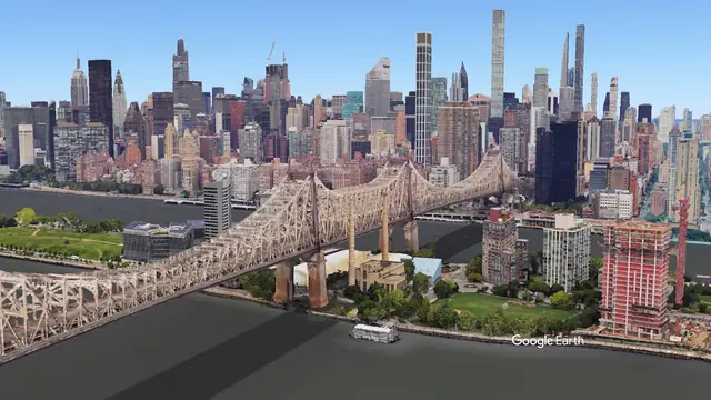
      Queensboro Bridge, New York from the air

      Marathons people fly to

      New York City Marathon

      Sun 7 Nov 2027New York, United States

      Film available 4:02Google Earth

      Watch the course 4:02
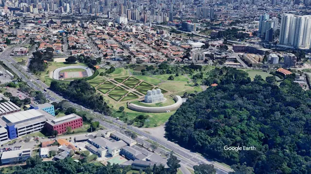
      Jardim Botânico, Curitiba from the airGoogle Earth

      Courses on film

      Curitiba Marathon

      Sun 15 NovCuritiba, Brazil

      Race weekFilm available 3:51

      Imagery: Google Earth and its imagery providers.

      All races in the United StatesRaces in North AmericaMarathons in NovemberAll films
      More races in the United States and in November Before and after, races like this one, the same country, the same month

      Most sold for runners

      Amazon partner link