Skip to content
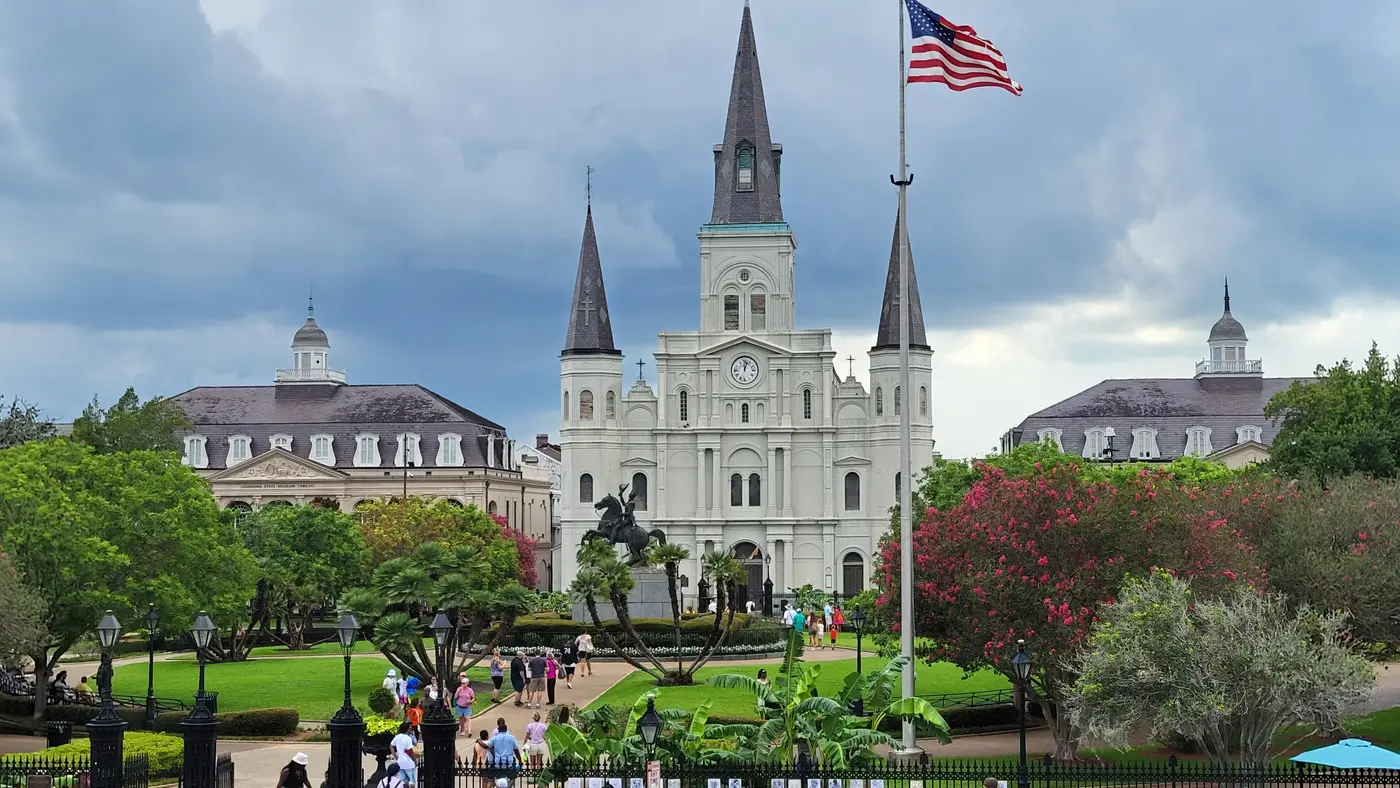
Jackson Square, New OrleansAthens, same scale
0 102030 42.2 km
5.6Jackson Square13.4City Park19.7Bayou St. John

Course: © OpenStreetMap contributors Photo: Jackson Square, by Spatms, CC BY-SA 4.0, via Wikimedia Commons.

Every Woman's Marathon

Sun 28 Feb New Orleans, United States

  • 42.2 km (26.2 mi)
  • 17 m (55 ft) climb
  • Point to point
  • 8 hours to finish
US$165

The course

Flat from start to finish: 4 m13 ft between the lowest and the highest point.

On bare ground the whole course stays between 1.5 m below sea level at km 38.3 and 2.8 m above it at km 23.4, so the climbing that counts is the ramps and bridges, not the land.

Start Finish

Course: © OpenStreetMap contributors

-1.5 m-5 ft to 2.8 m9 ft Height drawn many times taller than life. Heights: USGS 3DEP 1 m digital elevation model.

Course elevation profile, 8× vertical exaggeration Elevation along the course from km 0 to km 42. The trace runs between -1 and 3 metres, a range of 4 metres, drawn at 8 times vertical exaggeration so the shape is legible. Smoothed over 1 km before this profile was derived. An unsmoothed urban surface carries the buildings and would assert a climb that is not there. Sea level
0 10 20 30 40 km
0 10 20 26.2 mi

  1. 19.712.3 Bayou St. John
  2. 42.226.2 Tad Gormley Stadium

Your 5 gels, at the orange marks For a 4:00 finish, one every 40 minutes

  1. km 7mile 4.4
  2. km 14.1mile 8.7
  3. km 21.1mile 13.1
  4. km 28.1mile 17.5
  5. km 35.2mile 21.8

Get them on Amazon Amazon partner link

Course notes 8 places, km by km, 4 short reads
  1. Photo: Glimmergloss, CC0

    The start is in Champions Square on Sugar Bowl Drive, and the organiser's course page has the field set off past the Superdome, home of the New Orleans Saints.

  2. Photo: Clark Mills, Public domain

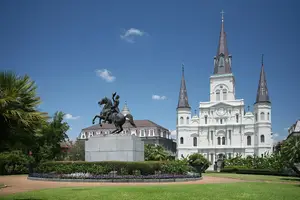
    The organiser puts Jackson Square at mile 3.5, in the French Quarter with Mississippi River views nearby.

  3. The course runs up Esplanade Avenue, past what the organiser calls the historic Creole mansions at mile 6, toward Bayou St. John.

  4. Photo: Infrogmation, New Orleans, CC BY 2.5

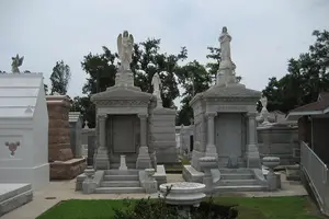
    At mile 7 the organiser has the course run within St. Louis Cemetery No. 3, known for its above-ground tombs.

  5. Past the cemetery the course enters City Park on Lelong Drive, in front of the museum.

  6. City Park carries the course north to the lake and back, and the finish line and finish festival are both in the park.

  7. Photo: bropho, CC BY 2.0

    The lakefront out-and-back passes the mouth of Bayou St. John on Lake Pontchartrain, where the organiser warns of potential wind.

  8. The last stretch comes back through City Park to a finish near Tad Gormley Stadium.

The course in short
  • Never more than 3 metres above the sea No hills at all: the land under the line varies by about 4 metres in 42 km.
  • Eighteen kilometres beside Lake Pontchartrain Nearly half the race is open lakefront, out and back, with nothing to stop the wind.
  • Downtown, the French Quarter, then Esplanade Avenue Every postcard of the city comes in the first third, before the long run out to the lake.
km 0 to 42.2 Gradient Never more than 3 metres above the sea No hills at all: the land under the line varies by about 4 metres in 42 km.

New Orleans sits on a delta, and the course never leaves it. Read off the 3DEP bare-earth model along the line, the ground runs from 2.8 m at km 23.4, out on the lakefront, to 1.5 m below sea level at km 38.3 on Marconi Drive: about 4 metres of relief from Champions Square to City Park. Smoothed over a kilometre, the whole course gains 16.7 m.

The organiser’s course page gives “Gain: 331 ft, Loss: -390 ft”. That figure counts every short rise, and a bare-earth model leaves out bridge decks and ramps, so the two numbers measure different things; what both say is that nothing on this course is a hill.

Measured

km 18.2 to 36.3 Conditions Eighteen kilometres beside Lake Pontchartrain Nearly half the race is open lakefront, out and back, with nothing to stop the wind.

Marconi Drive brings the course out of City Park to the lake at km 18.2. From there Lakeshore Drive runs east along the shore, past the mouth of Bayou St. John, to a short loop at km 26.2 to 27.0, then all the way back west to km 36.3 before Marconi Drive turns inland again. The organiser calls it an “out-and-back along one of the nation’s largest and most iconic lakes” and marks it at mile 12 and miles 21 to 23.

The same page notes “Potential wind along Lake Pontchartrain”. A headwind one way is a tailwind the other, but the return leg falls between km 27 and km 36, where it costs the most.

Measured

km 0 to 13.4 Landmark Downtown, the French Quarter, then Esplanade Avenue Every postcard of the city comes in the first third, before the long run out to the lake.

From Champions Square the course takes Poydras Street and turns onto St. Charles Avenue, out to a turn at Felicity Street (km 2.4) and back, then down Camp Street to the river. North Peters and Decatur Street carry it through the French Quarter: the organiser puts Jackson Square at mile 3.5, “with Mississippi River views nearby”.

At km 6.3 the course turns up Esplanade Avenue and follows it to km 10.9, through historic Tremé at mile 5 and past what the organiser calls the historic Creole mansions at mile 6. At mile 7 it runs “within” St. Louis Cemetery No. 3 on a loop off the avenue, then crosses into City Park on Lelong Drive.

Measured

km 0 to 42.2 Tactics Eight hours, with cut-off points on the way Walkers are welcome inside 8 hours; the cut-off points along the way come closer to race day.

The organiser’s FAQ offers “a course time limit of 8 hours”, which it puts at “a run/walk pace of at least 18 minutes and 18 seconds per mile”, with pace team members at that pace. It also says there will be designated course cut-off locations, “communicated closer to the race”, so the time to beat at each point is not out yet.

Aid stations are promised “approximately every 1.5–2.5 miles”, and the overview page adds spirit squads and music at every mile. The finish line and the finish festival are both in City Park.

Sourced

Race fuel

Energy gel
An energy gel sachet
Illustration · drag to turn

5 gels for New Orleans, plus 1 spare

Finish

One every 40 minutes, the orange marks on the profile. New Orleans stays within 4 m13 ft of height, so they go by the clock:

  1. km 7mile 4.4
  2. km 14.1mile 8.7
  3. km 21.1mile 13.1
  4. km 28.1mile 17.5
  5. km 35.2mile 21.8

Our pick: SiS BETA Fuel gel, box of 6, strawberry and lime. 40 g of carbohydrate a gel, about twice a usual gel, from two kinds of sugar your body takes up side by side.

Easy to forget on race morning: pack them with your bib the night before.

Get it on Amazon

We earn a small fee if you buy through these links. The price is the same.

In Canada the button opens GU Energy Gel, Salted Caramel, 24-pack, the best seller there.

Outside the Netherlands, Belgium, Germany, Austria and Switzerland, the UK and Ireland, Spain and Portugal, Italy, the rest of the EU and Canada the button opens GU Energy Gel, Chocolate Outrage, 24-pack on Amazon.com, the best seller there.

Anti-chafe
Compeed Anti-blister stick
Photo: Compeed

Compeed

Compeed anti-blister stick, 8 ml

Best selling on Amazon amazon.nl, read 2 Nov

An invisible layer before the start keeps seams, straps and shoes from rubbing skin raw.

Put it on before you leave for the start: heels and toes, inner thighs, under a bra or heart-rate strap.

Try it on a long run first, like everything you use on race day.

Get it on Amazon

We earn a small fee if you buy through these links. The price is the same.

Number belt
A race number belt
Illustration · drag to turn

Compressport Race Belt

Holds your bib without safety pins through your top, with loops for up to 8 gels.

Clip the bib on the night before, so it goes on with your shorts in the morning.

Keep the number on the front, where officials and photographers can see it.

Get it on Amazon

We earn a small fee if you buy through these links. The price is the same.

Electrolytes
A tube of electrolyte tablets
Illustration · drag to turn

SiS Hydro electrolyte tablets, tube of 20

One tablet in a bottle puts back some of the salt you sweat out.

One tablet in 500 ml of water in the hour before the start.

Only if you have used them in training: nothing new on race day.

Get it on Amazon

We earn a small fee if you buy through these links. The price is the same.

Blister plasters
Compeed Blister plasters, medium, 6
Photo: Compeed

Compeed

Compeed blister plasters, medium, 6

Best selling on Amazon amazon.nl, read 2 Nov

One in a pocket cushions a blister if one starts.

Put it on clean, dry skin and leave it until it comes off by itself.

Give a couple to whoever comes to cheer, so they are there at the km you need them.

Get it on Amazon

We earn a small fee if you buy through these links. The price is the same.

Getting a place

Entry through the organiser

US$165 for the 2027 race.

Entry details on the organiser’s site

Team Milk, a third party. We take no entries and have no part in the race.

Plan the whole trip

Say where you start from and we line up a flight, a hotel and your race kit in three budgets. The hotel and race kit links pay us a small fee; the flight search pays nothing. Your price stays the same.

How long

    Your trip so far, per person

    Book everything, step by step

      Hotels near the finish

      This map is Stay22's. It sets its own cookies.

      Race week

      Times for the race weekend.

      Race week

      Add to calendar

      Friday 26 February Expo

      1. Time not published

        Wellness Fair and Expo, bib pick-up Champions Square. Bib pick-up on Friday 26 and Saturday 27 February 2027; opening hours are not published yet.

      Saturday 27 February Expo

      1. Time not published

        Wellness Fair and Expo, bib pick-up Champions Square. Second expo day; opening hours are not published yet.

      Sunday 28 February Race day

      1. Time not published

        Marathon start Champions Square (Sugar Bowl Drive). The organiser has not published a start time for 2027.
      2. Time not published

        Course time limit 8 hours, a run/walk pace of at least 18:18 a mile. Cut-off locations along the course are to be announced closer to the race. 8:00 limit: 11:22/km for 42.195 km8:00 limit: 18:18/mi for 26.2 mi
      3. Time not published

        Finish and finish festival City Park

      Times are New Orleans time Times as published by Team Milk, in New Orleans time, checked .

      Questions

      Entry, the time limit and the hills. 6 questions.

      Questions about the Every Woman's Marathon

      Is the Every Woman's Marathon course flat?
      Yes. It has 16.7 m (55 ft) of climbing over 42.2 km (26.2 miles). The highest point is 4 m (13 ft) above the lowest.
      Where is the hardest part of the Every Woman's Marathon?
      The Every Woman's Marathon has no hard climb: 16.7 m (55 ft) of climbing over 42.2 km (26.2 miles).
      When is the Every Woman's Marathon 2027?
      Sunday 28 February 2027.
      How do I enter the Every Woman's Marathon?
      Entry is through the organiser. Entry fee: US$165 (for the 2027 race). Entry details on the organiser’s site
      What is the time limit at the Every Woman's Marathon?
      Runners have 8 hours to finish.
      Is there a video of the Every Woman's Marathon course?
      Yes. A 3D flyover film of the whole course, start to finish (2:00), plays at the top of this page.

      About this race

      Facts and sources.

      At a glance

      First held
      2024
      Organiser
      Team Milk
      Surface
      Asphalt

      A race for women, by women, in the organiser's words, open to every adult: from Champions Square by the Superdome through the French Quarter, up Esplanade Avenue and through St. Louis Cemetery No. 3 to City Park, then out and back along Lake Pontchartrain to a City Park finish.

      The Every Woman's Marathon is a flat point-to-point course of 42.2 km (26.2 miles) with 16.7 m (55 ft) of climbing. Its lowest point is 1 m (3 ft) below sea level and its highest 3 m (10 ft) above it. Next race: Sunday 28 February 2027.
      Course line matched onto OpenStreetMap road geometry: (c) OpenStreetMap contributors, Open Database License 1.0 (ODbL). Elevation sampled from USGS 3DEP 1 m digital elevation model (bare earth).

      Elevation gain computed by us from that line, smoothed over 1 kmsmoothed over 0.6 mi.

      The line follows the road down its middle, so it measures 0.12% longer than the certified distance, which is measured on the shortest legal line through every bend.

      Date and entry information from Team Milk.

      Film built from Google Earth imagery, credited on screen.

      Rendered from USGS 3DEP 1 m digital elevation model (bare earth) (Public domain (work of the United States Government)), OpenStreetMap (Open Database License 1.0 (ODbL)).

      Keep exploring

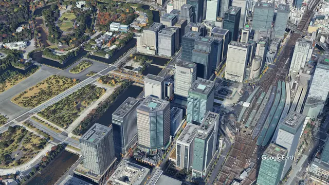
      Marunouchi and the Imperial Palace gardens, Tokyo from the air

      A course like this

      Tokyo Marathon

      Sun 7 Mar 2027Tokyo, Japan

      Film available 4:01Google Earth

      Watch the course 4:01

      Imagery: Google Earth and its imagery providers.

      All races in the United StatesRaces in North AmericaMarathons in FebruaryAll films
      More races in the United States and in February Races like this one, the same country, the same month, how it compares

      Most sold for runners

      Amazon partner link