
Entry through the organiser
Entry details on the organiser’s site →
The organiser, a third party. We take no entries and have no part in the race.
 Marathon Trip
Your trips on every device: sign in, or make a free account when you save one.
Signed in on this browser.
Sign in My marathons Account and dataLocked out? An export link you keep still opens your list in any browser.
No account: email it to me
One email with this trip and a link to open it again. We do not keep the address and send nothing else.
Only a race from our list can be emailed. An account keeps this one.
What we keep, and what we do notCheck your inbox at to confirm it.
Browse the racesEach edition the day it comes out, and nothing else. Off again with one click. How it is kept.
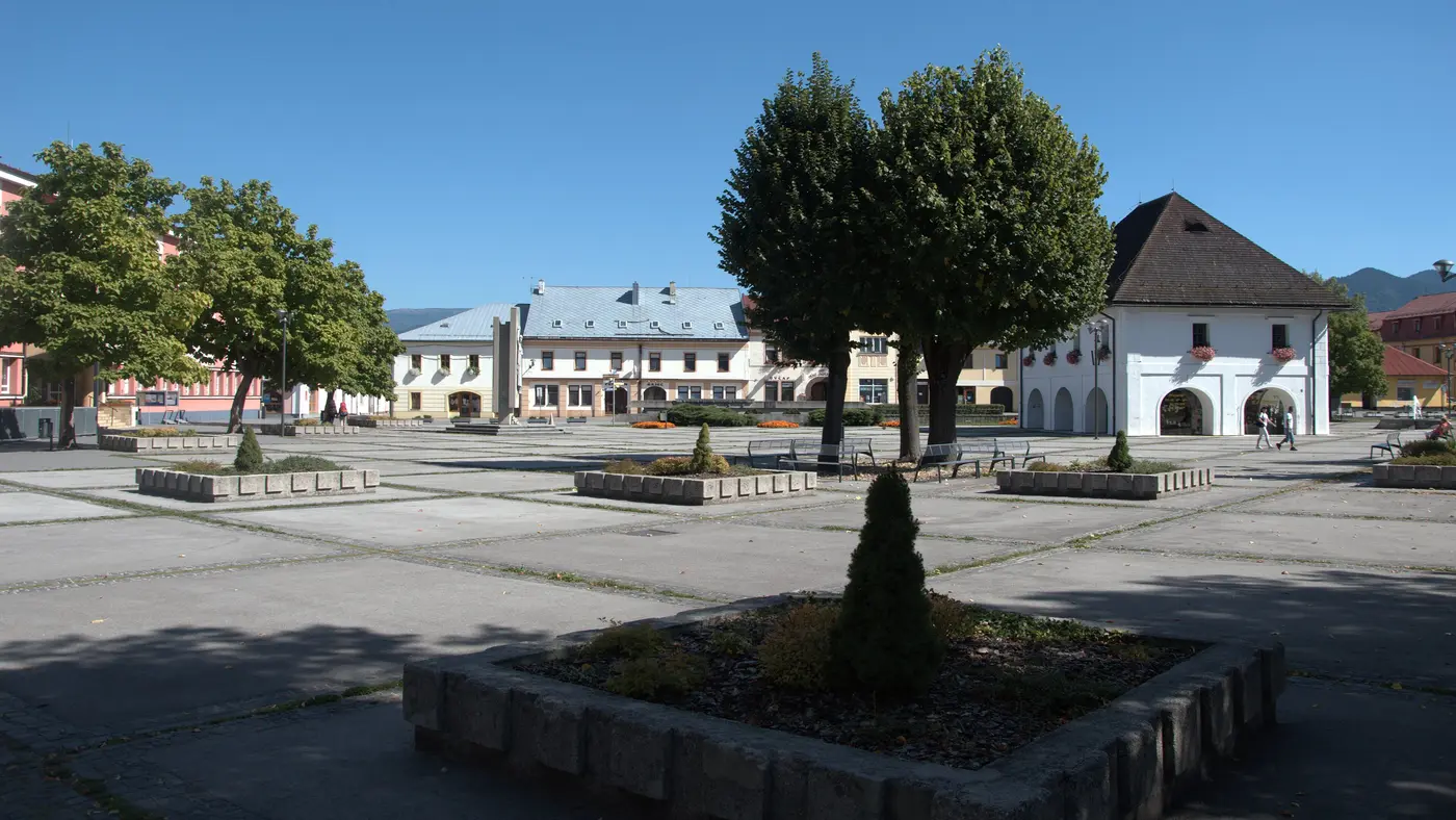
The organiser says the race starts and finishes on Námestie SNP in Rajec, runs a 2 km loop of the town's streets, then goes through Šuja, Fačkov and Čičmany and back to the square.
The organiser’s course text reads: “Štart aj cieľ Rajeckého maratónu je na námestí SNP v Rajci”. It then describes the first kilometres: “Po štarte sa beží 2-km okruh mestom, ulicami Hurbanova (B), Moyzesova (C), Obrancov mieru (D), Nádražná (E), Jánošíkova (F), Hurbanova (G), Šafárikova (H), Nádražná (I), nám. SNP (J), potom cez Šuju, Fačkov, Čičmany a späť na námestie v Rajci (M).”
The race rules name the roads used: I/64 and III/2112 between Rajec and Čičmany, and I/64 and III/2111 between Rajec and Rajecká Lesná. For the 2026 race the organiser closed them to traffic from 8:30 to 14:00, and the in-line runners finished in Čičmany.
Sourced
The organiser’s course text says: “úradne premeraná, povrch trate je asfaltový, výškový rozdiel je 200m”, after giving the length as 42 195 m. That is a height difference, the gap between the course’s low and high points, which is a different thing from the total a runner climbs over the day; the organiser shows the course as a profile picture and gives no climb total.
Sourced
The organiser’s course page names the nine kilometre marks and lists ionic drink, water, mineral water, fruit, biscuits, chocolate, salt and sponges.
Runners can prepare their own refreshments: “Je možné si pripraviť aj vlastné občerstvenie a označiť štartovým číslom, ktoré bude tiež rozvezené na občerstvovacie stanice. Odovzdať vlastné občerstvenie je nutné do 8.00hod v priestoroch prezentácie.”
Sourced
The 2026 race was the “43. ročník”, run on 8 August 2026: “8. 8. 2026 o 09:00hod”. The organiser’s home page calls it “Majstrovstvá Slovenska veteránov a veteránok (koeficient WMA)”, the Slovak championship for veterans.
The marathon had a cap: “MARATÓN: účastnícky limit = 250 pretekárov.” The half marathon and the relay started at 9:00 with the marathon, and an in-line half marathon went off a minute earlier, at 8:59.
The presentation, in the town hall on the square, was open from 16:00 to 22:00 on the Friday and from 6:30 to 8:00 on the race morning.
Sourced
Entry through the organiser
The organiser, a third party. We take no entries and have no part in the race.
More races to look at after the Rajec Marathon.
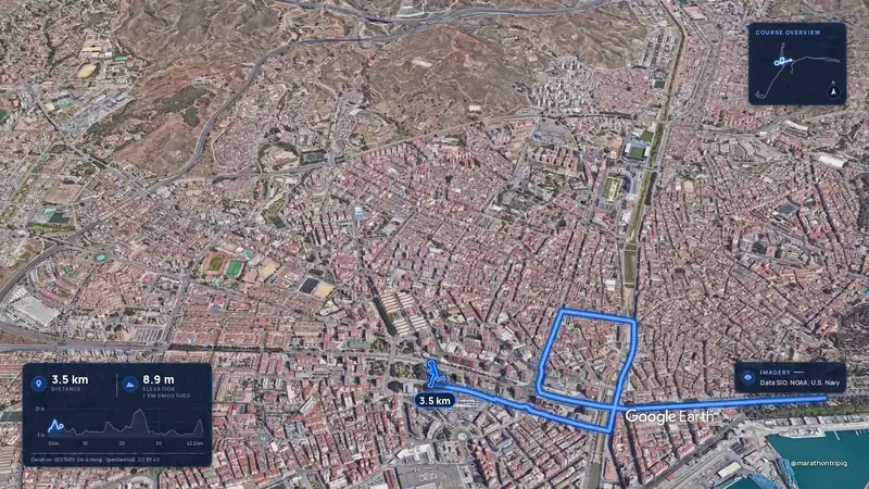 Imagery: Google Earth3:50 filmRace week
Malaga, Spain
Sun 8 Nov42.2 kmClimb 63 m
Climb summed after smoothing the heights over 1 km. The edge is this course's height profile on one scale for every race: 250 m above its lowest point fills it.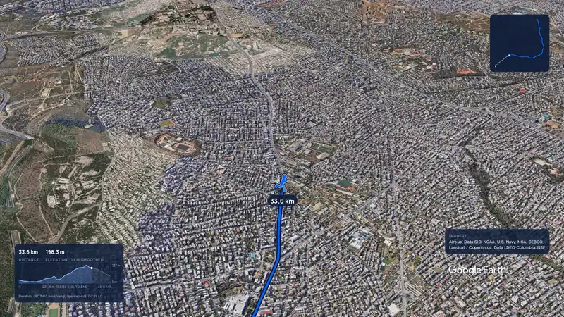 Imagery: Google Earth3:56 filmRace week
Athens, Greece
Sun 8 Nov42.2 kmClimb 281 m
Climb summed after smoothing the heights over 1 km. The edge is this course's height profile on one scale for every race: 250 m above its lowest point fills it.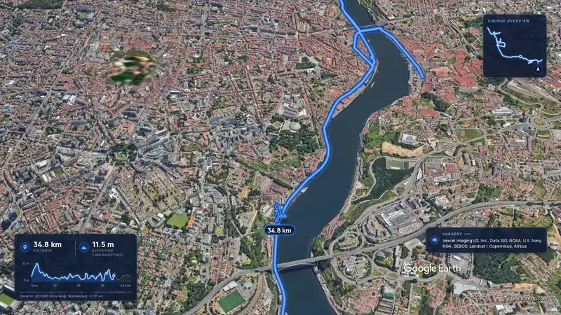 Imagery: Google Earth3:53 filmRace week
Porto, Portugal
Sun 8 Nov42.2 kmClimb 133 m
Climb summed after smoothing the heights over 1 km. The edge is this course's height profile on one scale for every race: 250 m above its lowest point fills it.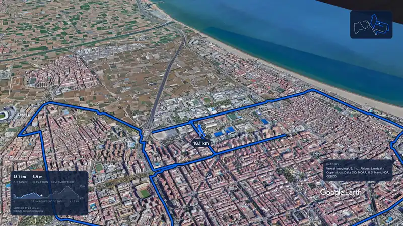 Imagery: Google Earth3:44 filmSold out
Valencia, Spain
Sun 6 Dec42.2 kmClimb 42 m
Climb summed after smoothing the heights over 1 km. The edge is this course's height profile on one scale for every race: 250 m above its lowest point fills it.Imagery: Google Earth3:56 filmRace weekAthens, Greece
Sun 8 Nov42.2 kmClimb 281 m
Climb summed after smoothing the heights over 1 km. The edge is this course's height profile on one scale for every race: 250 m above its lowest point fills it.Imagery: Google Earth3:50 filmRace weekMalaga, Spain
Sun 8 Nov42.2 kmClimb 63 m
Climb summed after smoothing the heights over 1 km. The edge is this course's height profile on one scale for every race: 250 m above its lowest point fills it.Imagery: Google Earth3:53 filmRace weekPorto, Portugal
Sun 8 Nov42.2 kmClimb 133 m
Climb summed after smoothing the heights over 1 km. The edge is this course's height profile on one scale for every race: 250 m above its lowest point fills it.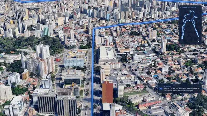 Imagery: Google Earth3:51 filmEntry open
Curitiba, Brazil
Sun 15 Nov42.2 kmClimb 128 m
Climb summed after smoothing the heights over 1 km. The edge is this course's height profile on one scale for every race: 250 m above its lowest point fills it.