
Entry through the organiser
Entry details on the organiser’s site →
The organiser, a third party. We take no entries and have no part in the race.
 Marathon Trip
Your trips on every device: sign in, or make a free account when you save one.
Signed in on this browser.
Sign in My marathons Account and dataLocked out? An export link you keep still opens your list in any browser.
No account: email it to me
One email with this trip and a link to open it again. We do not keep the address and send nothing else.
Only a race from our list can be emailed. An account keeps this one.
What we keep, and what we do notCheck your inbox at to confirm it.
Browse the racesEach edition the day it comes out, and nothing else. Off again with one click. How it is kept.
A slow rise of 19 m from km 12 to km 20, another slow rise of 20 m from km 24 to km 31, then downhill to km 38.
© OpenStreetMap contributors
km 6.9mile 4.3
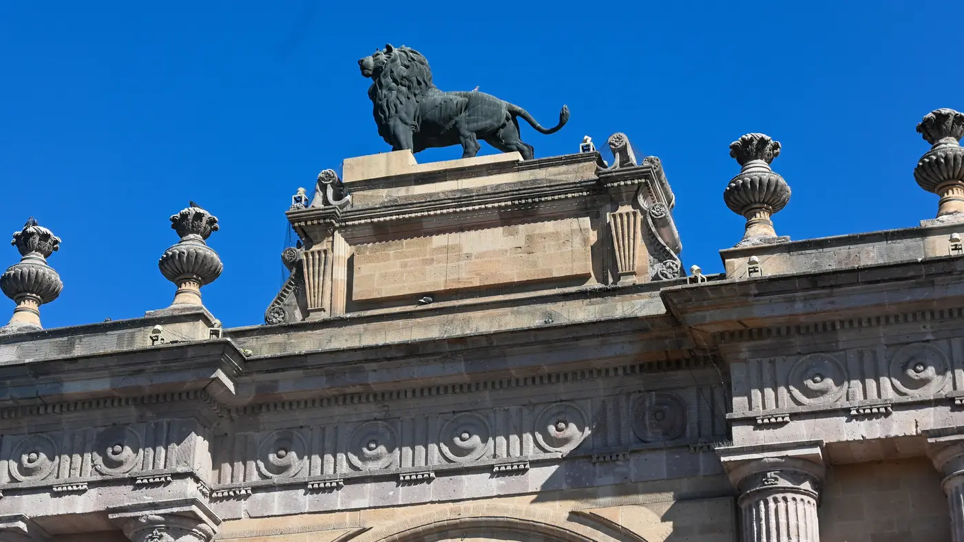
The arch stands within 50 m of the marathon route at about km 6.9.
Photo: Lin Mei from Los Angeles, USA, CC BY 2.0
km 27.4mile 17
The cathedral is about 170 m from the route at about km 27.4.
Height drawn many times taller than life. Heights: GEDTM30.

Your 5 gels, at the orange marksFor a 4:00 finish, one every 40 minutes
Get them on AmazonAmazon partner link
The whole course stays within about 25 m of the same height. The highest point is 1,818.6 m at km 30.9, the lowest 1,793.7 m at km 38.4, and the start and finish are both near 1,797 m. The organiser’s route page gives an altitude ceiling of 1,821 m, from its own route data.
Measured
Two of León’s best-known sights sit on or near the marathon: the Arco de la Calzada, the triumphal arch topped by a lion, about 6.9 km in and within 50 m of the route, and the Catedral Basílica de Nuestra Señora de la Luz, a few blocks from the route at km 27.4. The only bridge or deck on the course is the Avenida Malecón del Río de los Gómez at km 33.1 to 33.2.
Measured
The organiser’s route page for the 2026 marathon lists the services along the course: “Puntos alternados de Agua y Gatorade cada 2.5K”, medical stations at key crossings and toilets along the route. The page gives the distance as 42.195 km and the time limit as 06:00 hours. The 2026 race was run on 20 September.
Sourced
The Maratón León is a course of 42.2 km with 62.4 m of climbing. Its lowest point is 1,794 m and its highest 1,819 m above sea level.
Entry through the organiser
The organiser, a third party. We take no entries and have no part in the race.
More races to look at after the Maratón León.
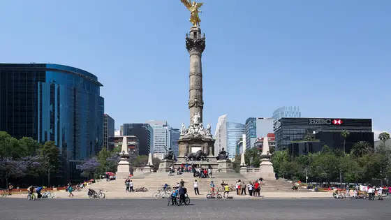
Mexico City, Mexico
Aug 202742.2 kmClimb 68 m
Climb summed after smoothing the heights over 1 km. The edge is this course's height profile on one scale for every race: 250 m above its lowest point fills it. Photo: Angel of Independence, by Carlos Valenzuela, CC BY-SA 4.0, via Wikimedia Commons.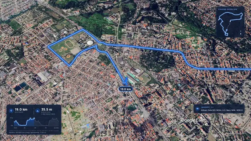 Imagery: Google Earth3:57 filmEntry open
Havana, Cuba
Sun 15 Nov42.2 kmClimb 108 m
Climb summed after smoothing the heights over 1 km. The edge is this course's height profile on one scale for every race: 250 m above its lowest point fills it.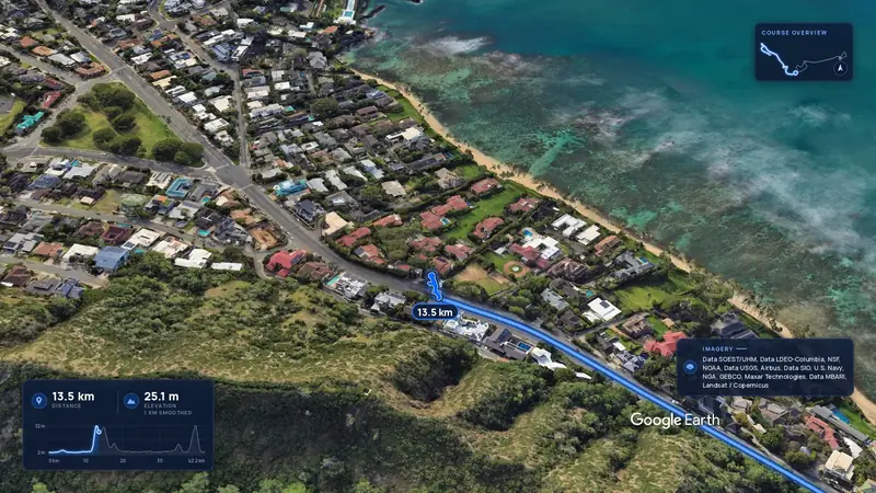 Imagery: Google Earth4:00 film
Honolulu, United States
Sun 13 Dec42.2 kmClimb 88 m
Climb summed after smoothing the heights over 1 km. The edge is this course's height profile on one scale for every race: 250 m above its lowest point fills it.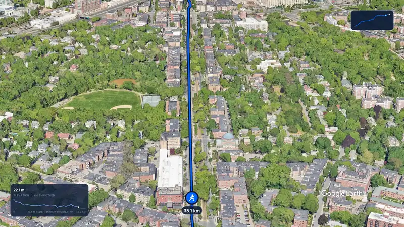 Imagery: Google Earth3:12 film
Boston, United States
Mon 19 Apr 202742.2 kmClimb 105 m
Climb summed after smoothing the heights over 1 km. The edge is this course's height profile on one scale for every race: 250 m above its lowest point fills it.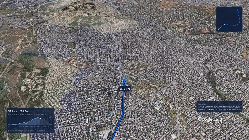 Imagery: Google Earth3:56 filmRace week
Athens, Greece
Sun 8 Nov42.2 kmClimb 281 m
Climb summed after smoothing the heights over 1 km. The edge is this course's height profile on one scale for every race: 250 m above its lowest point fills it.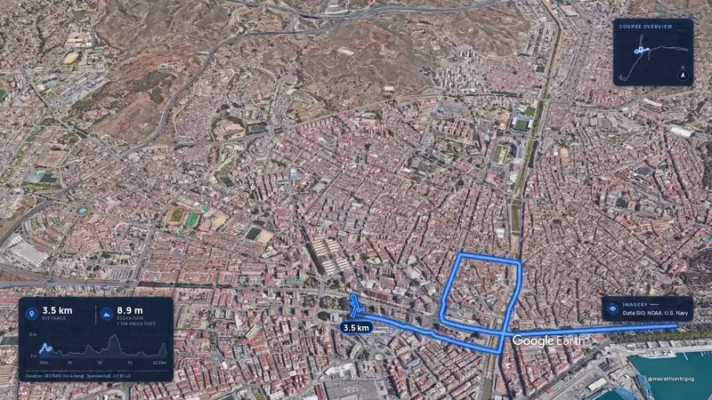 Imagery: Google Earth3:50 filmRace week
Malaga, Spain
Sun 8 Nov42.2 kmClimb 63 m
Climb summed after smoothing the heights over 1 km. The edge is this course's height profile on one scale for every race: 250 m above its lowest point fills it.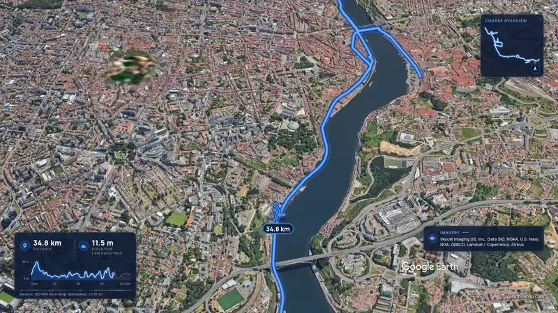 Imagery: Google Earth3:53 filmRace week
Porto, Portugal
Sun 8 Nov42.2 kmClimb 133 m
Climb summed after smoothing the heights over 1 km. The edge is this course's height profile on one scale for every race: 250 m above its lowest point fills it.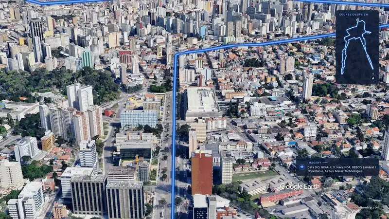 Imagery: Google Earth3:51 filmEntry open
Curitiba, Brazil
Sun 15 Nov42.2 kmClimb 128 m
Climb summed after smoothing the heights over 1 km. The edge is this course's height profile on one scale for every race: 250 m above its lowest point fills it.