
Entry through the organiser
Entry details on the organiser’s site →
The organiser, a third party. We take no entries and have no part in the race.
 Marathon Trip
Your trips on every device: sign in, or make a free account when you save one.
Signed in on this browser.
Sign in My marathons Account and dataLocked out? An export link you keep still opens your list in any browser.
No account: email it to me
One email with this trip and a link to open it again. We do not keep the address and send nothing else.
Only a race from our list can be emailed. An account keeps this one.
What we keep, and what we do notCheck your inbox at to confirm it.
Browse the racesEach edition the day it comes out, and nothing else. Off again with one click. How it is kept.
A long climb of 448 m from km 21 to km 38, another long climb of 1187 m from km 54 to km 82, then a steep drop to km 107.
© OpenStreetMap contributors
km 43.3mile 26.9
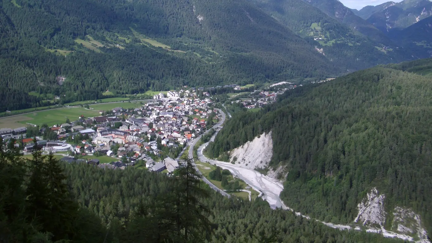
The organiser's route description names Lake Bled as the first big landmark after the climb to the Jelovica and Babji zob.
Photo: Gregor Trampuš, CC0
km 88mile 54.7
On the ridge after Stol: the organiser's route description crosses the ridge to Golica and Klek before the long descent to Mojstrana.
Photo: Dreamy Pixel, CC BY 4.0
Height drawn many times taller than life. Heights: GEDTM30.
Dashed: bridge
The race is the queen stage of the Julian Alps Trail Run, with 32 hours allowed. After the start in the old town of Radovljica the route climbs to the Jelovica and Babji zob, descends to Lake Bled, and turns towards Žirovnica for the climb of Stol.
From Stol the route crosses the ridge to Golica and Klek, drops to Mojstrana, climbs again from Gozd Martuljek to Srednji vrh, and finishes with a downhill into Kranjska Gora.
Sourced
The 2026 edition ran from 17 to 20 September, with bib pick-up for the 50K, 80K and 120K in time slots at the expo in Kranjska Gora on the Thursday and Friday.
Sourced
The organiser gives 5,855 m of climbing for the 2026 course of about 122 km.
The high point comes around km 73.8, on the stretch after the ascent of Stol, and the lowest ground is in the first few kilometres around Radovljica.
Measured
The Julian Alps Trail Run by UTMB course has 4,397.6 m of climbing: a hilly course. Its lowest point is 410 m and its highest 2,131 m above sea level.
Entry through the organiser
The organiser, a third party. We take no entries and have no part in the race.
More races to look at after the Julian Alps Trail Run by UTMB.
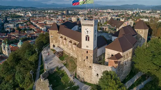
Ljubljana, Slovenia
Sun 17 Oct 202742.2 kmClimb 70 m
Climb summed after smoothing the heights over 1 km. The edge is this course's height profile on one scale for every race: 250 m above its lowest point fills it. Photo: Ljubljana Castle, by LjGrad, CC BY-SA 4.0, via Wikimedia Commons.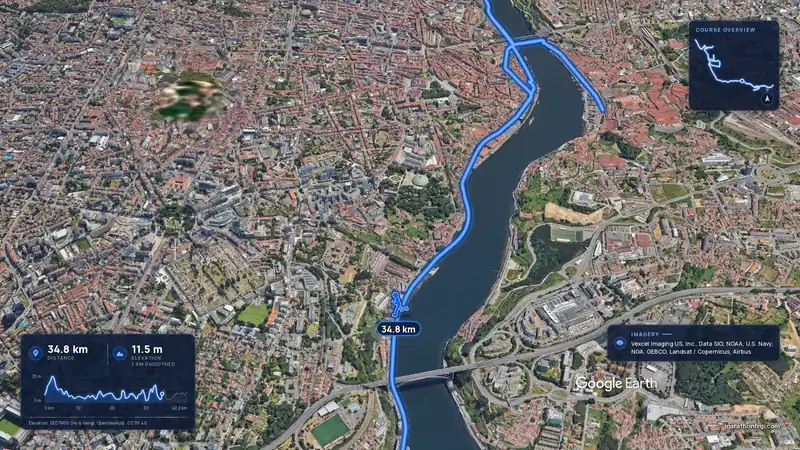 Imagery: Google Earth3:53 filmRace week
Porto, Portugal
Sun 8 Nov42.2 kmClimb 133 m
Climb summed after smoothing the heights over 1 km. The edge is this course's height profile on one scale for every race: 250 m above its lowest point fills it.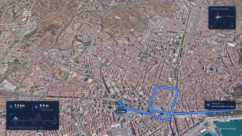 Imagery: Google Earth3:50 filmRace week
Malaga, Spain
Sun 8 Nov42.2 kmClimb 63 m
Climb summed after smoothing the heights over 1 km. The edge is this course's height profile on one scale for every race: 250 m above its lowest point fills it.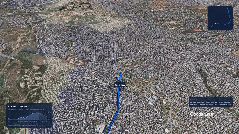 Imagery: Google Earth3:56 filmRace week
Athens, Greece
Sun 8 Nov42.2 kmClimb 281 m
Climb summed after smoothing the heights over 1 km. The edge is this course's height profile on one scale for every race: 250 m above its lowest point fills it.Imagery: Google Earth3:56 filmRace weekAthens, Greece
Sun 8 Nov42.2 kmClimb 281 m
Climb summed after smoothing the heights over 1 km. The edge is this course's height profile on one scale for every race: 250 m above its lowest point fills it.Imagery: Google Earth3:50 filmRace weekMalaga, Spain
Sun 8 Nov42.2 kmClimb 63 m
Climb summed after smoothing the heights over 1 km. The edge is this course's height profile on one scale for every race: 250 m above its lowest point fills it.Imagery: Google Earth3:53 filmRace weekPorto, Portugal
Sun 8 Nov42.2 kmClimb 133 m
Climb summed after smoothing the heights over 1 km. The edge is this course's height profile on one scale for every race: 250 m above its lowest point fills it.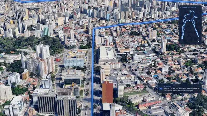 Imagery: Google Earth3:51 filmEntry open
Curitiba, Brazil
Sun 15 Nov42.2 kmClimb 128 m
Climb summed after smoothing the heights over 1 km. The edge is this course's height profile on one scale for every race: 250 m above its lowest point fills it.